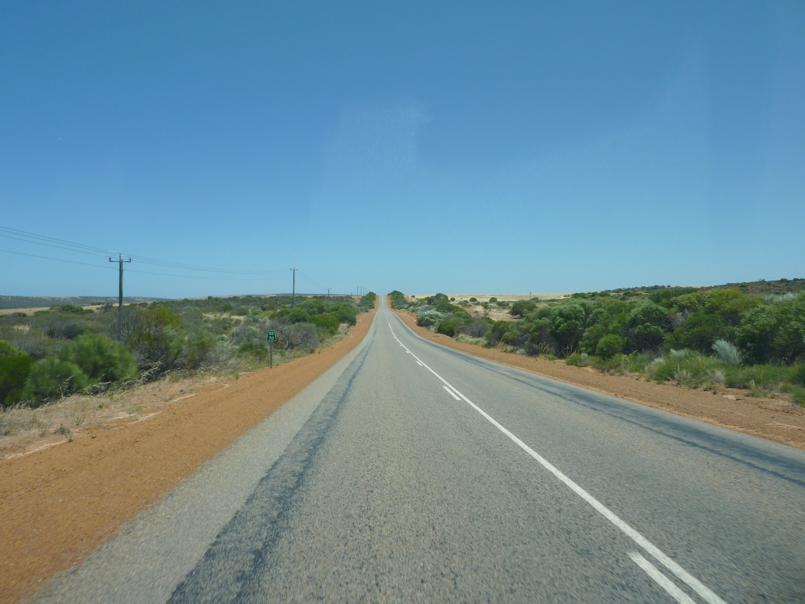
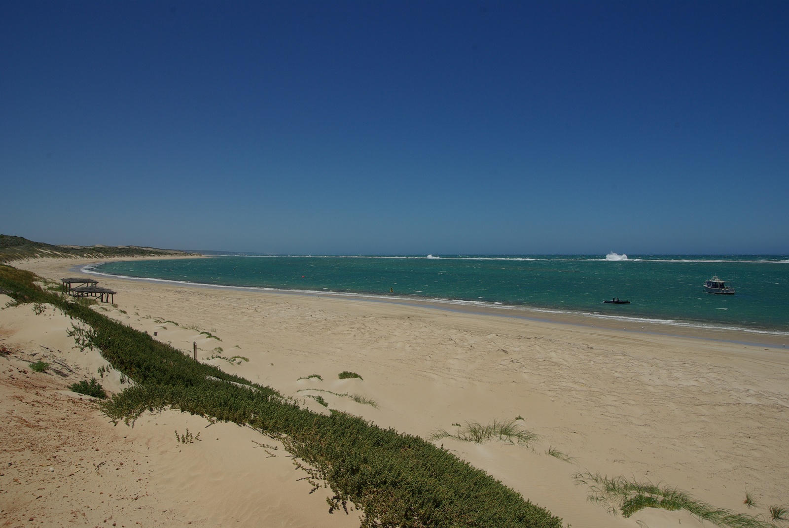
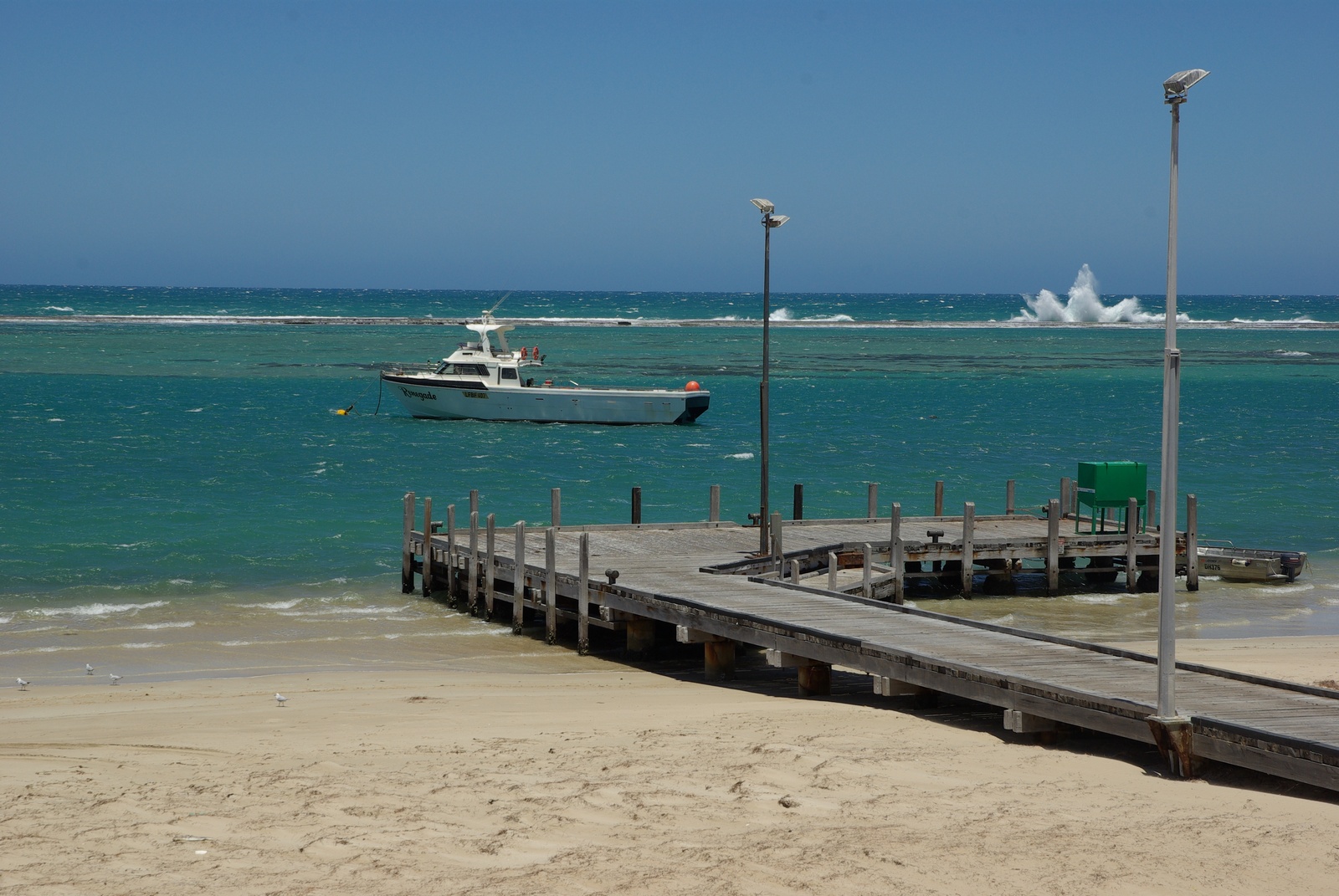
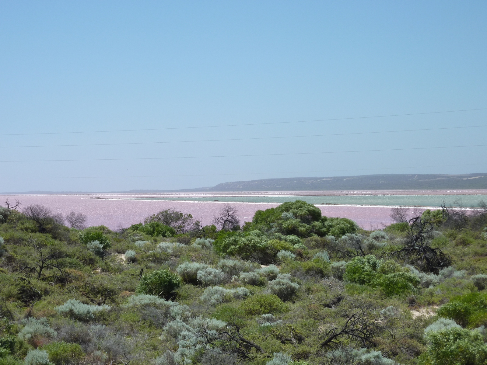
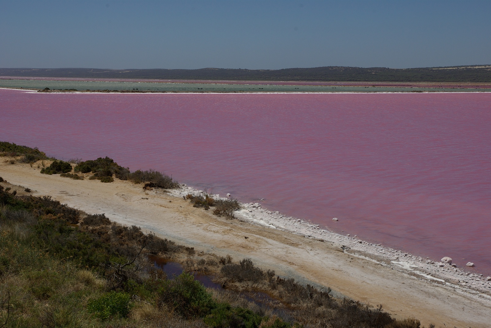
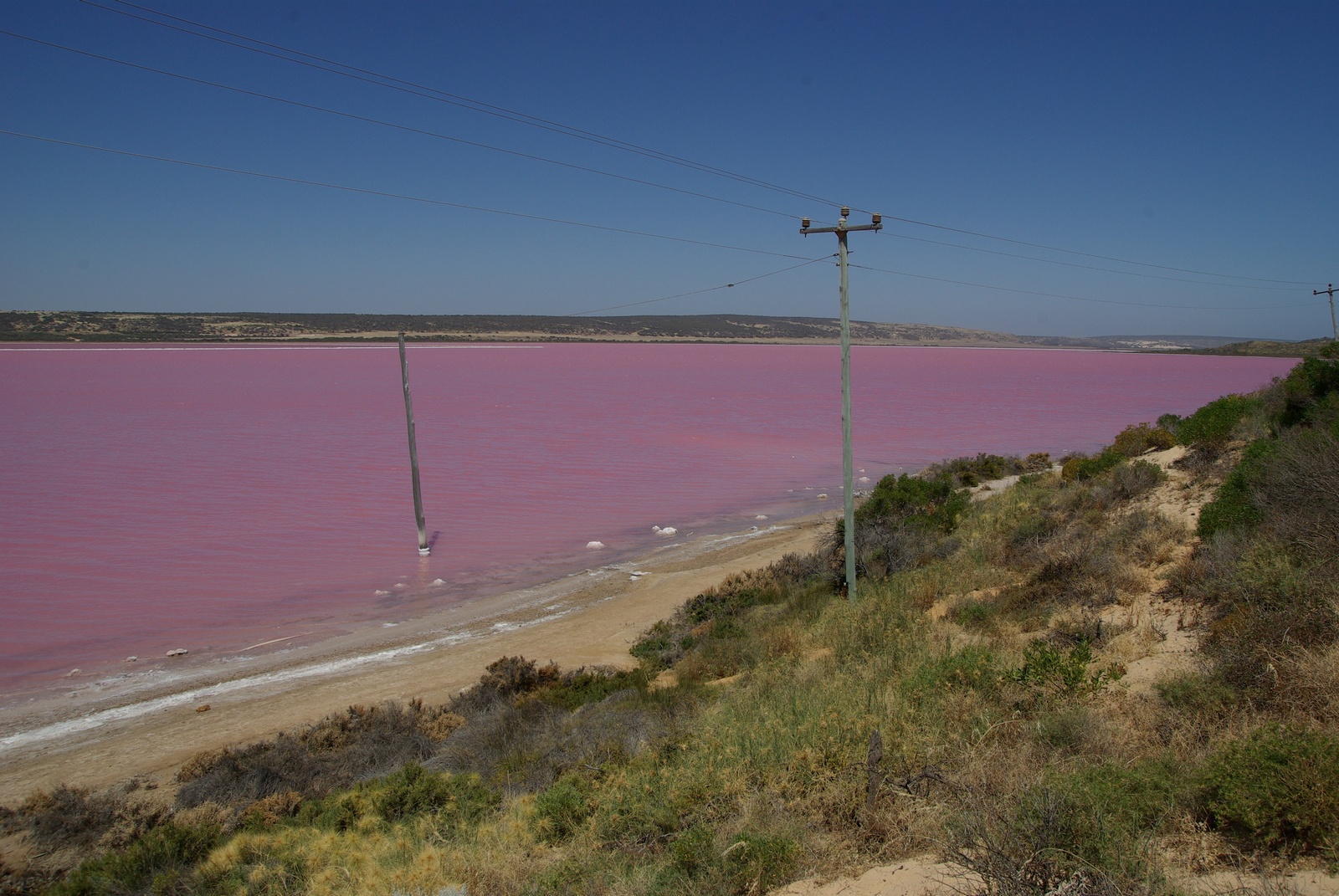
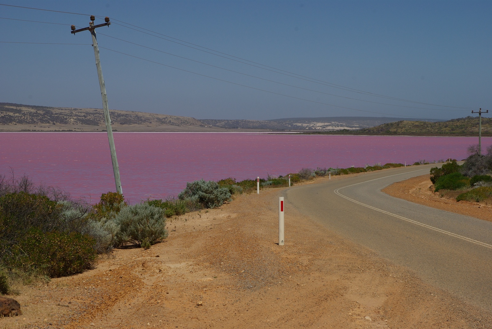
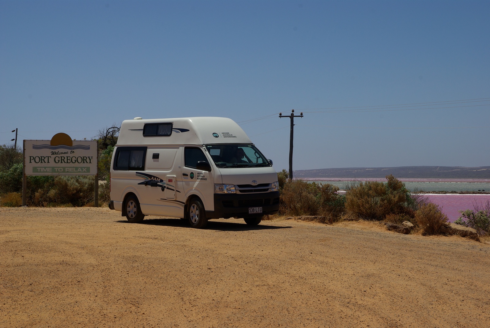
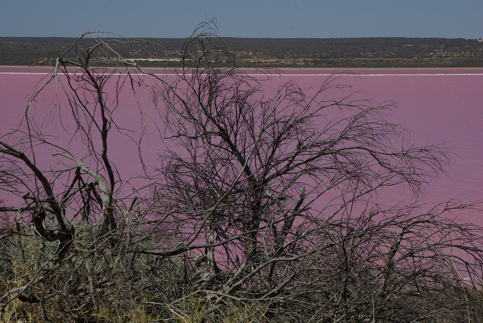
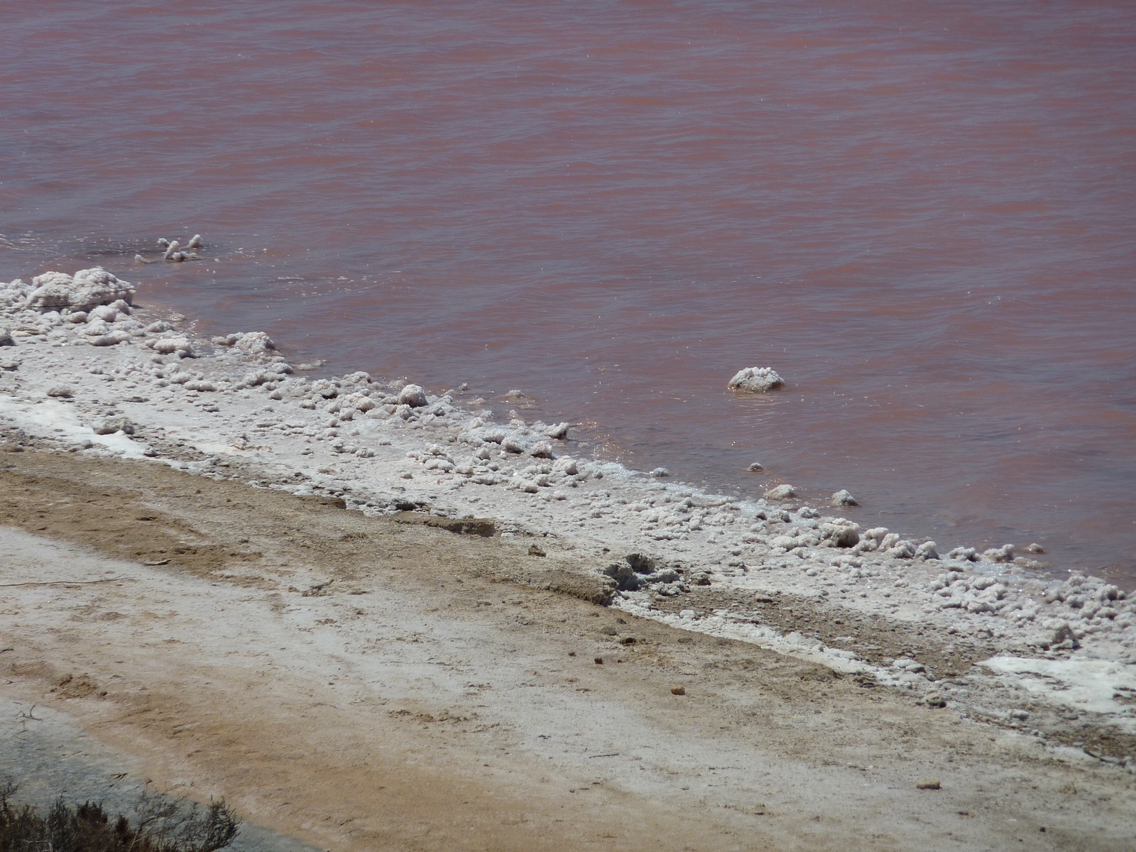
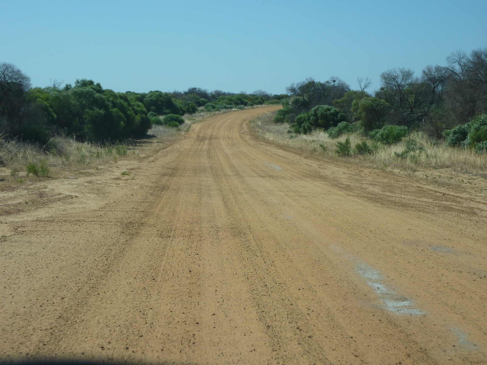
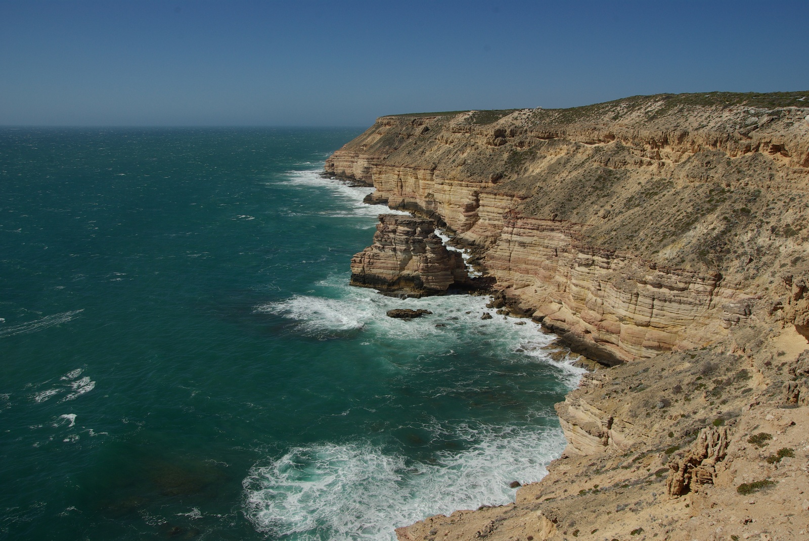
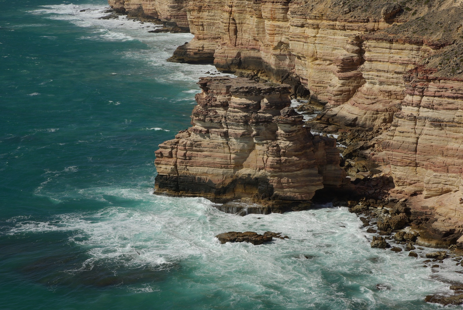
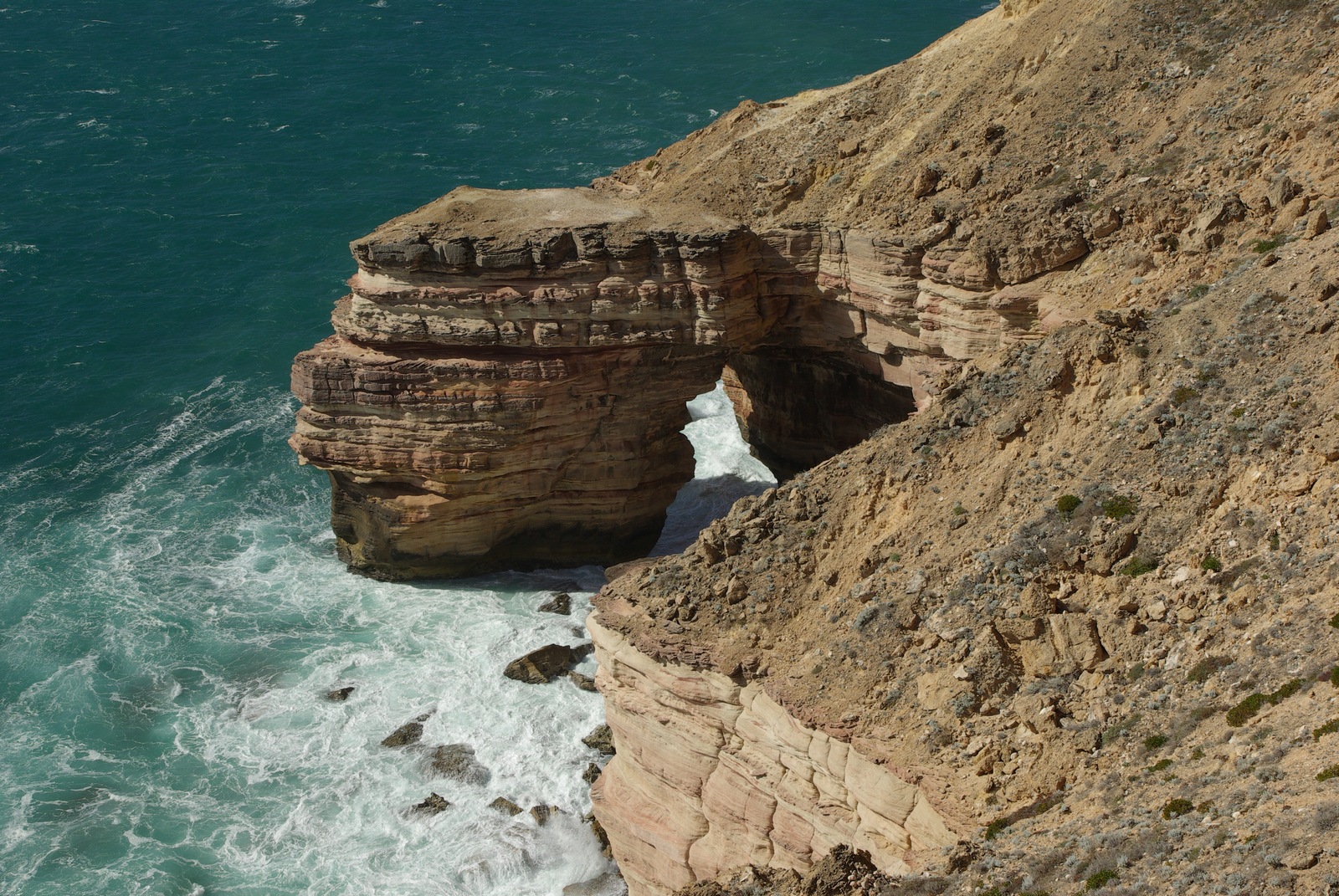
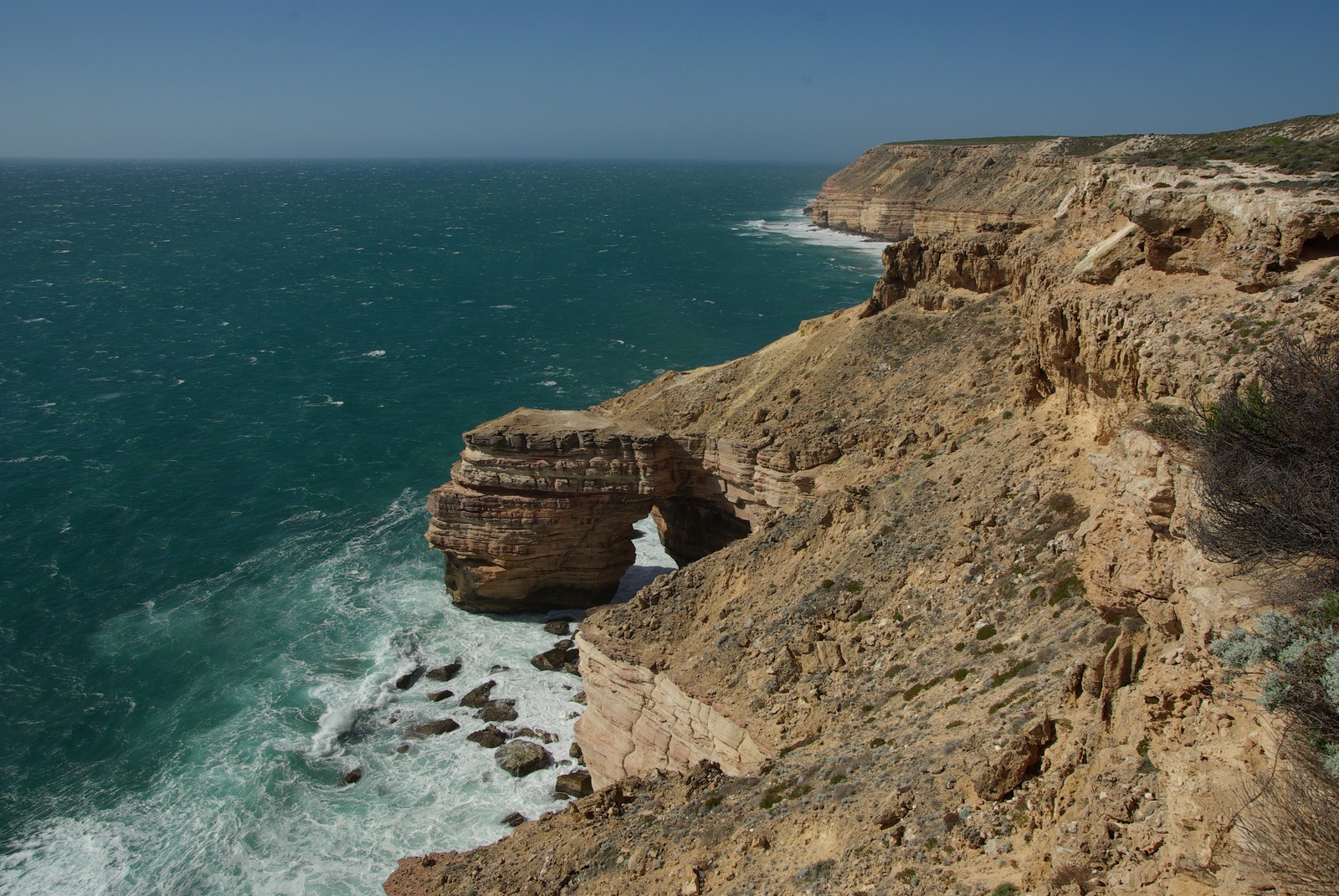
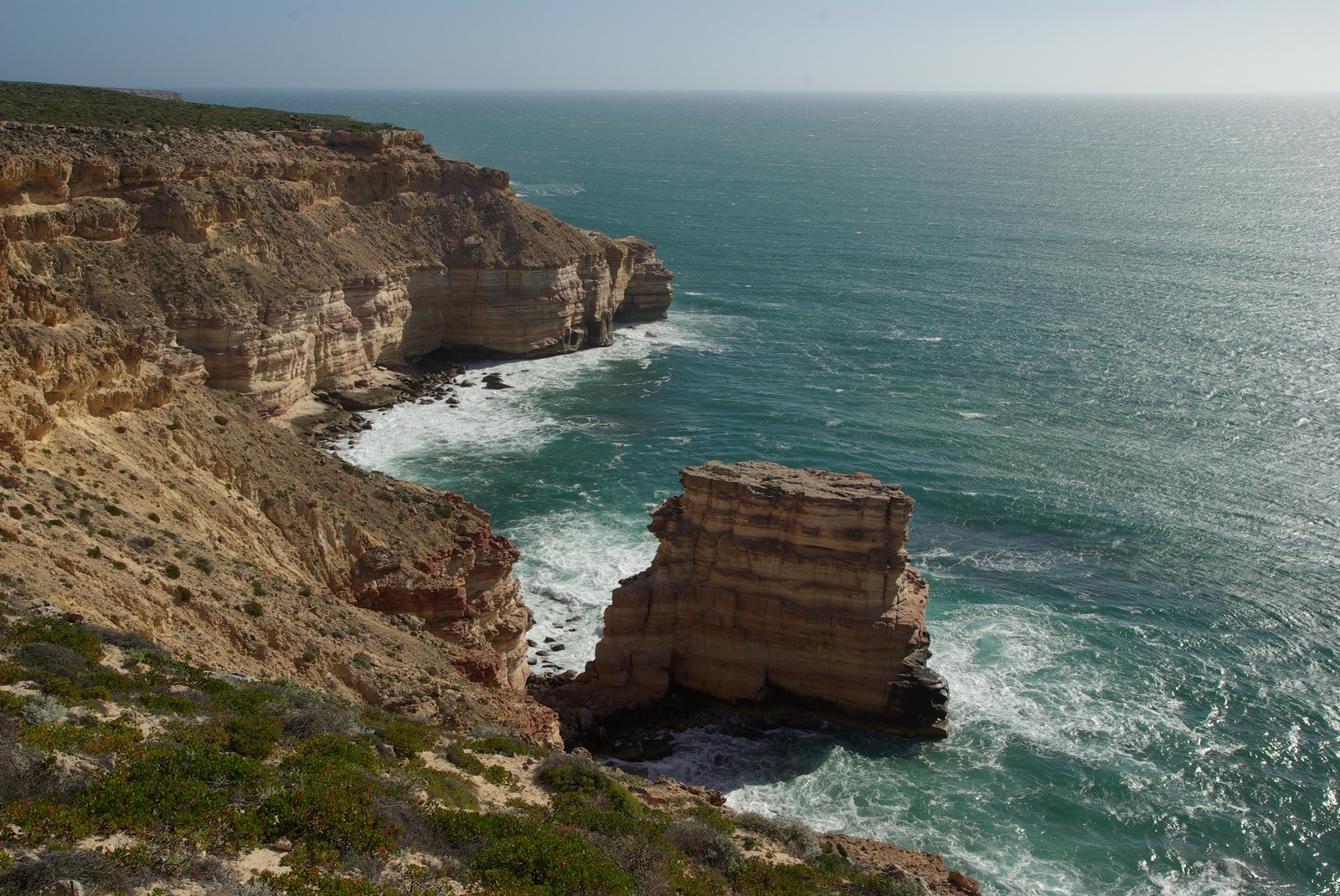
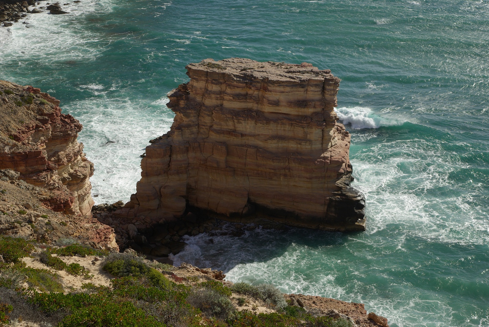
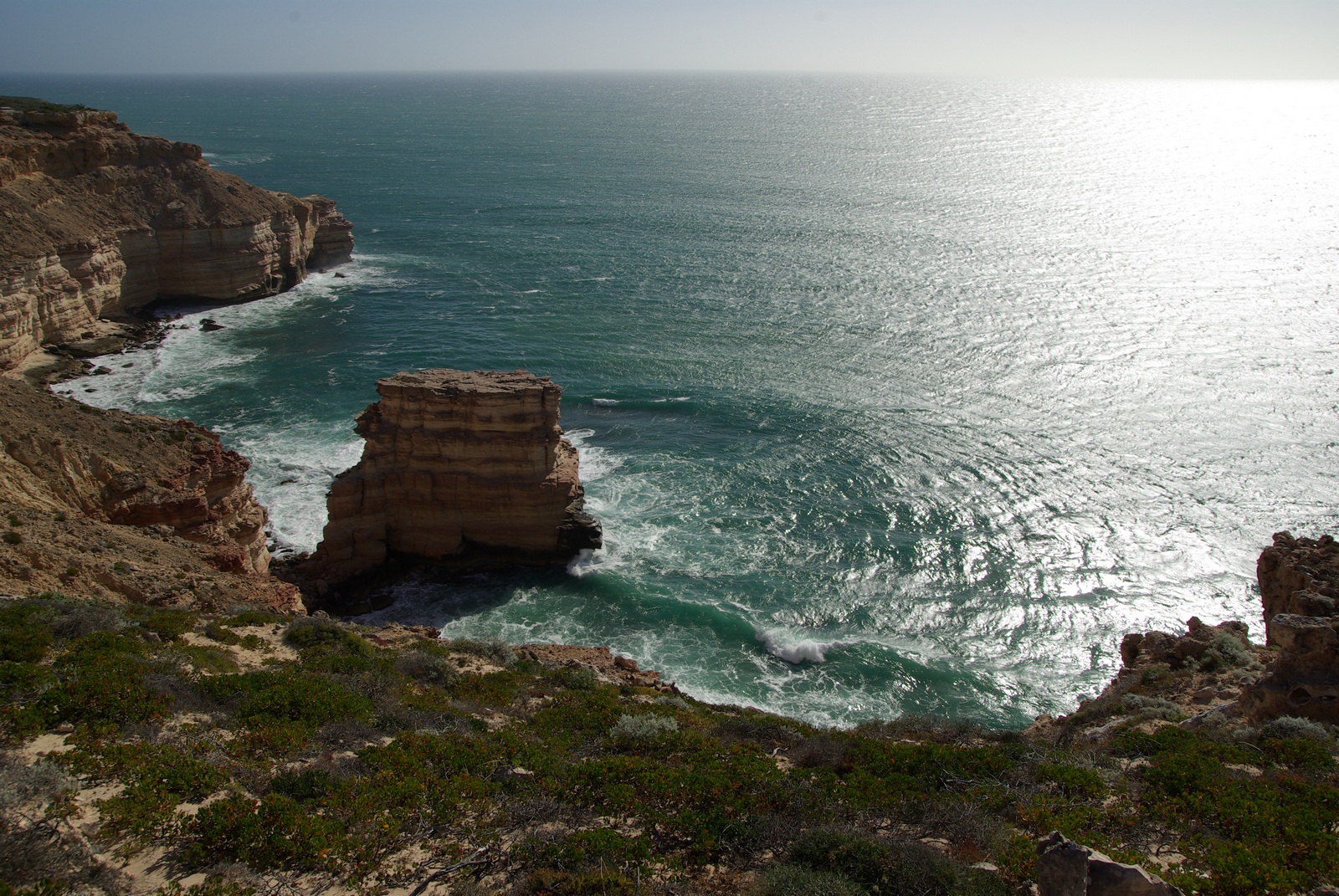
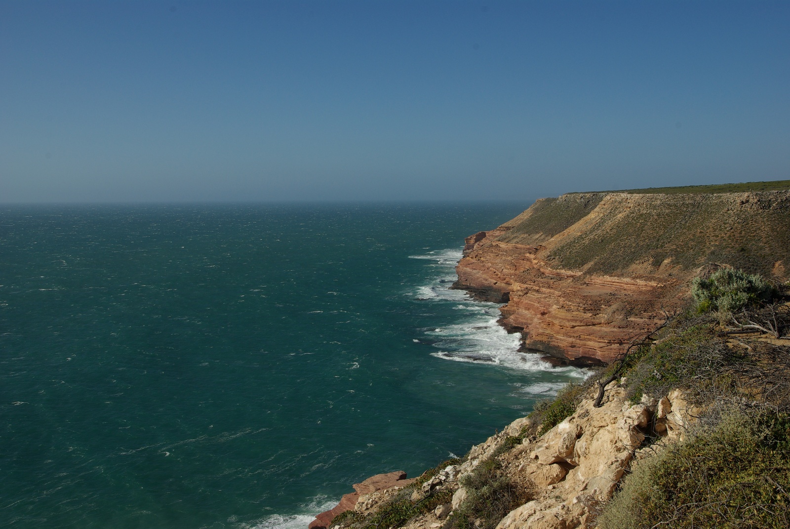
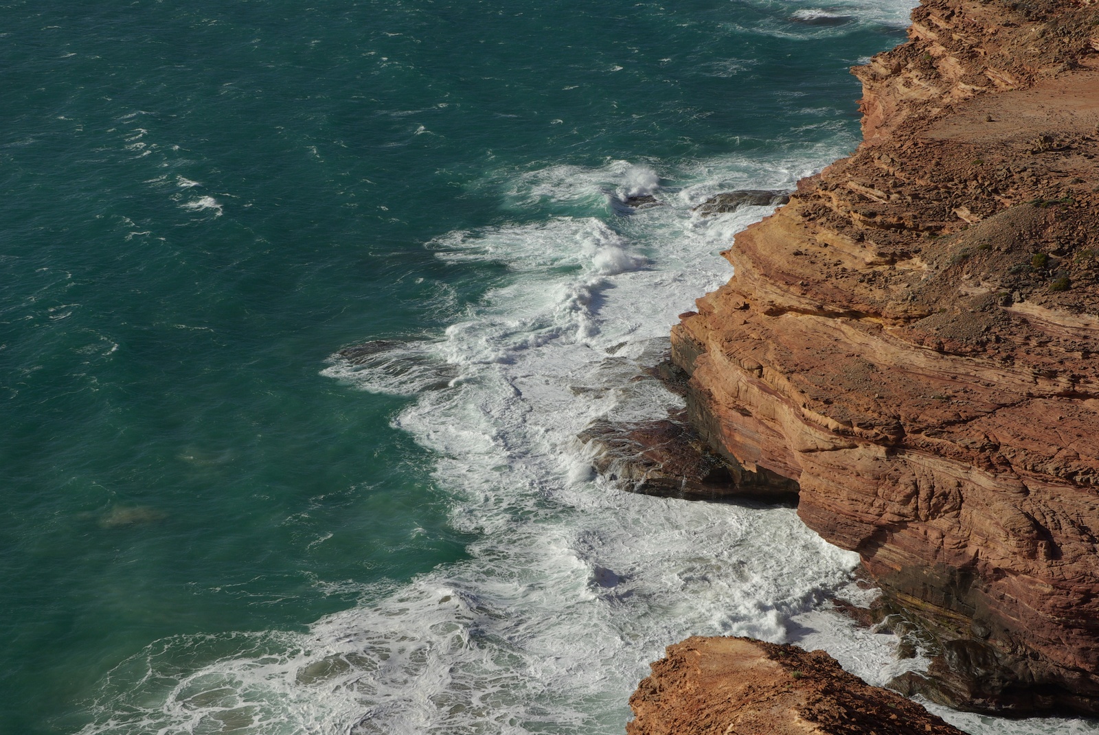
Map of the route “Day 11 – 11/19/2011: Geraldton – Port Gregory – Hutt Lagoon – Kalbarri”: 245.37 km, 3,440 m of climbing and 3,437 m of descent, elevation between -14 m and 232 m, time 17:44:40. It starts at -28.72445, 114.62076 and ends at -27.70038, 114.16839 (latitude, longitude).