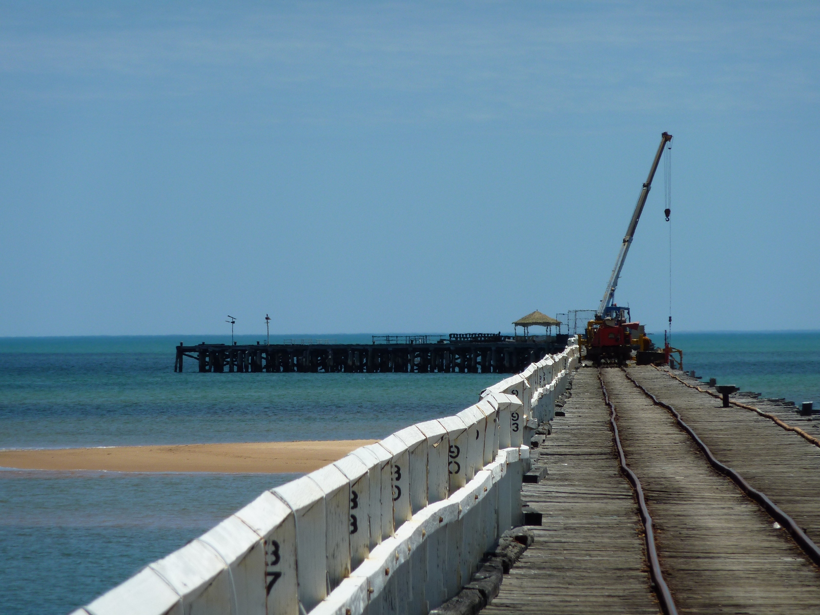
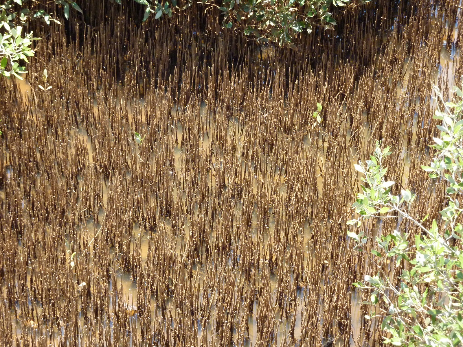
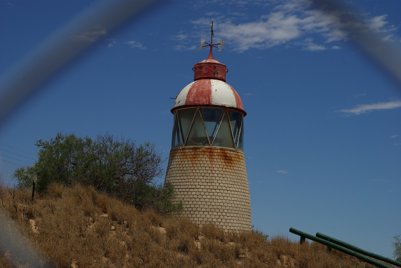
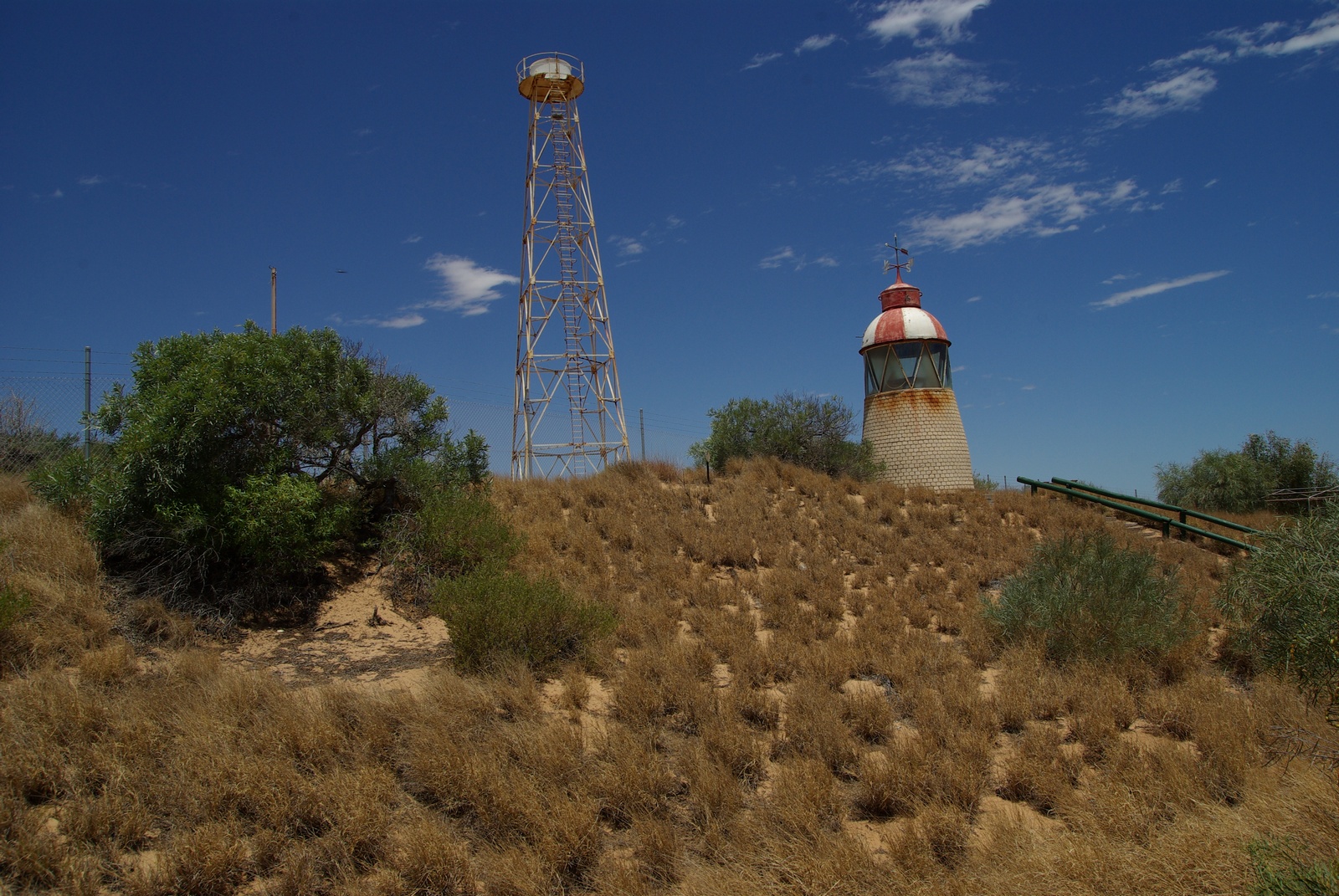
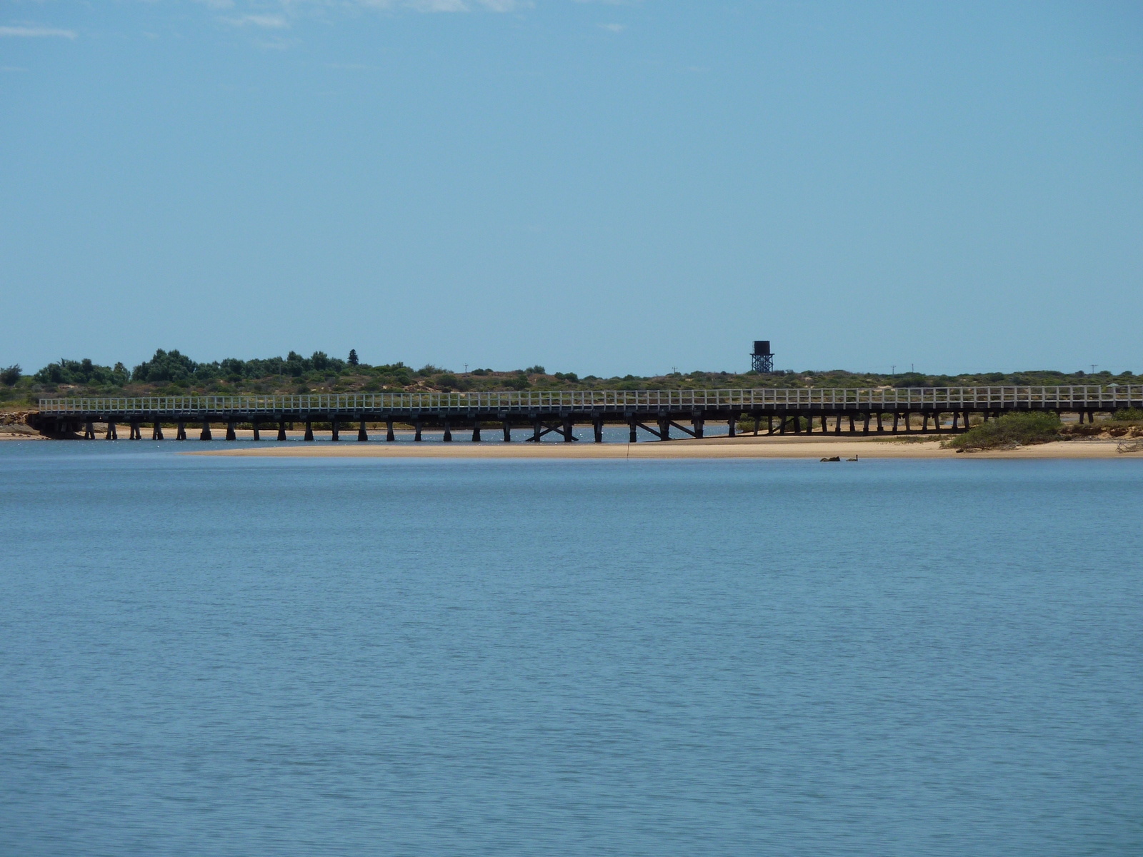
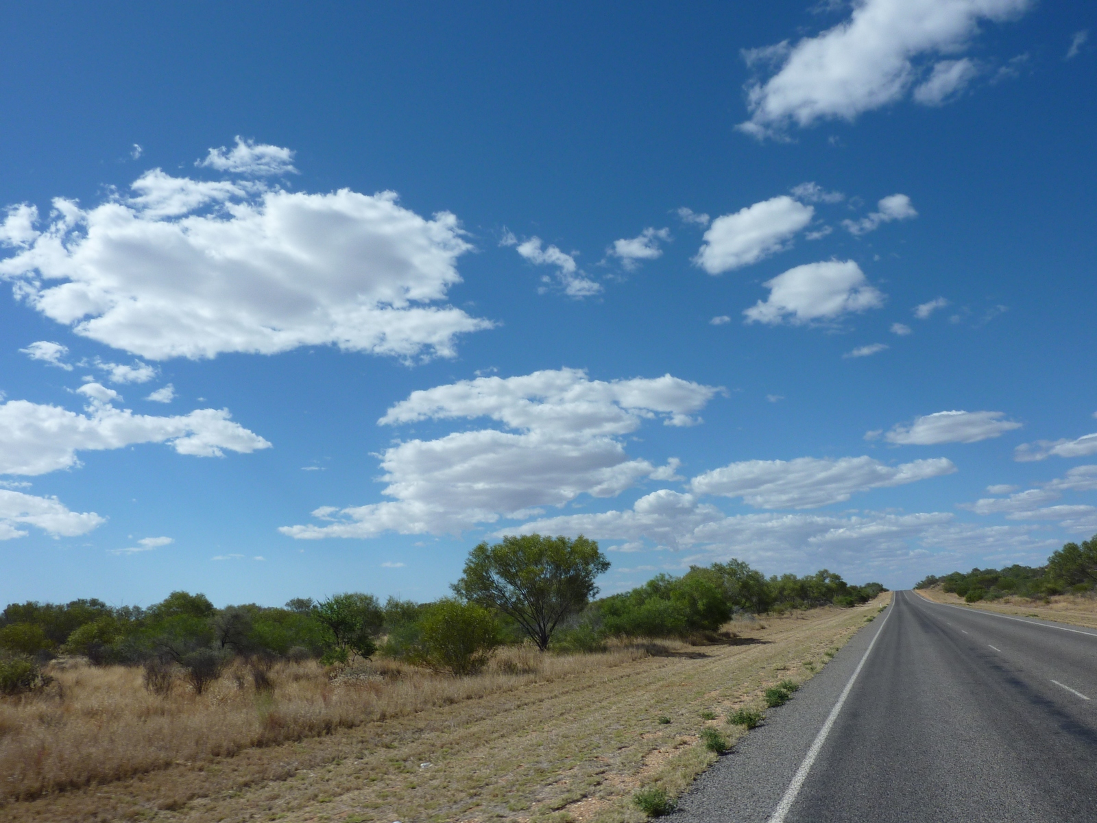
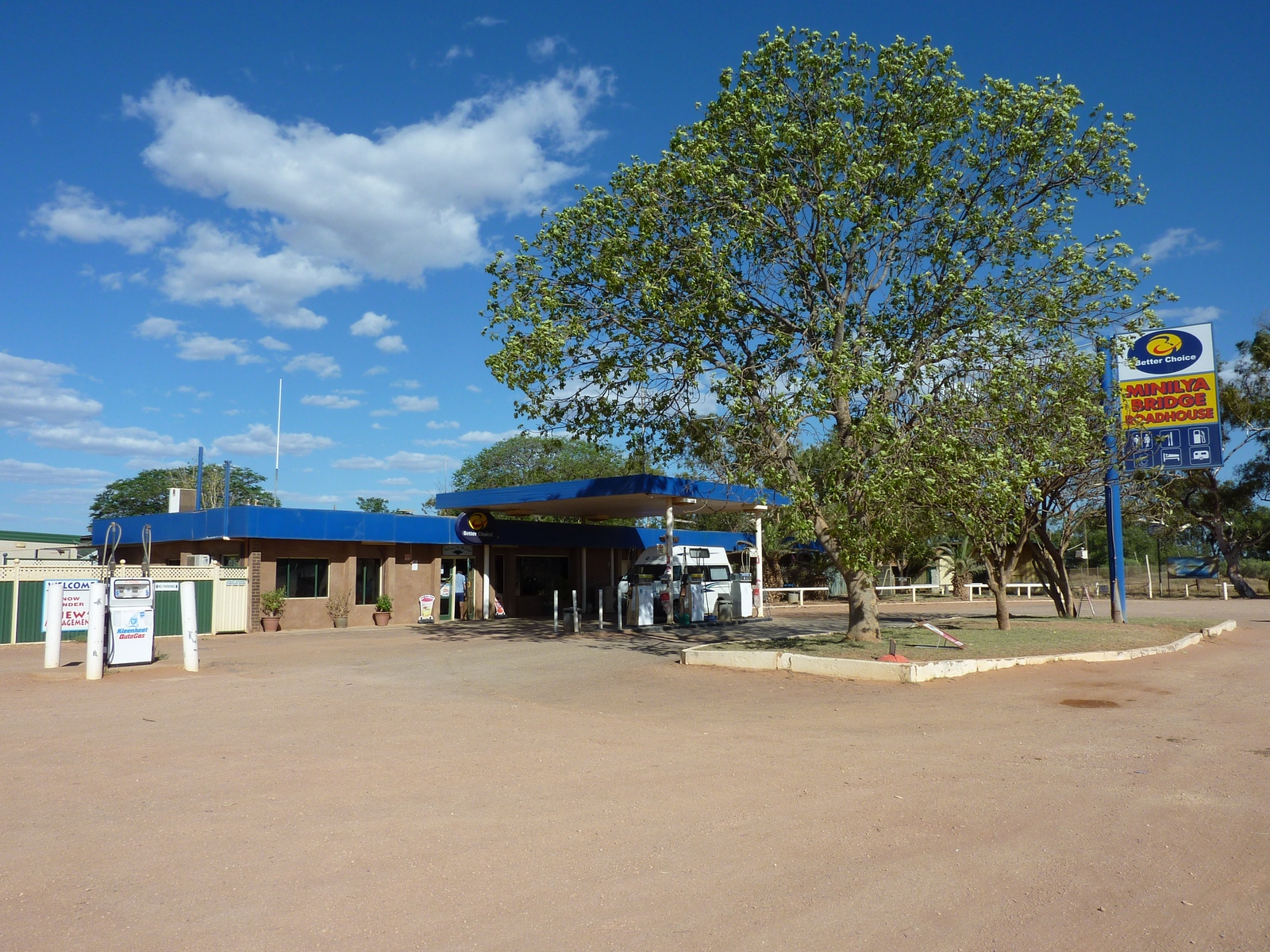
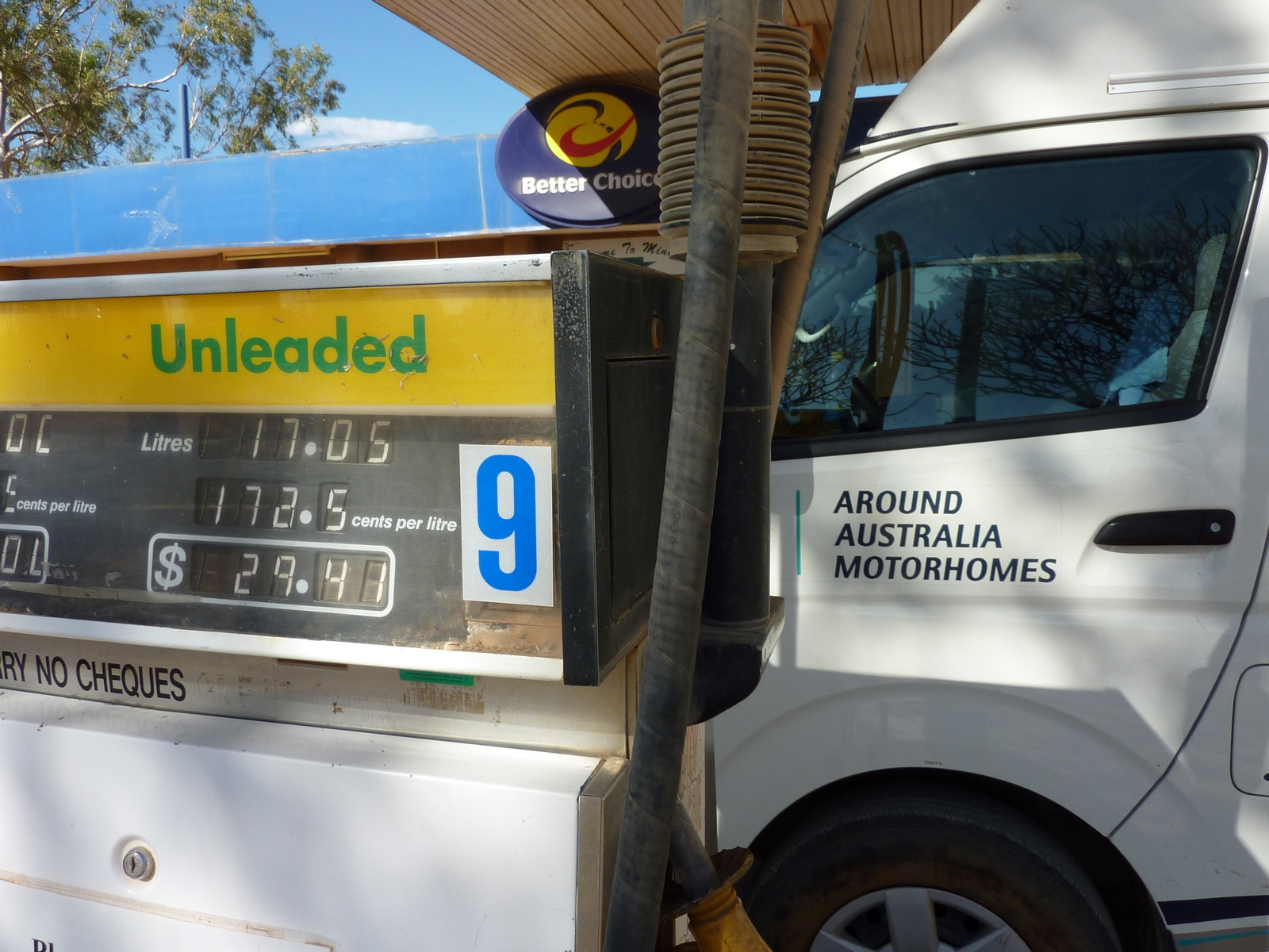
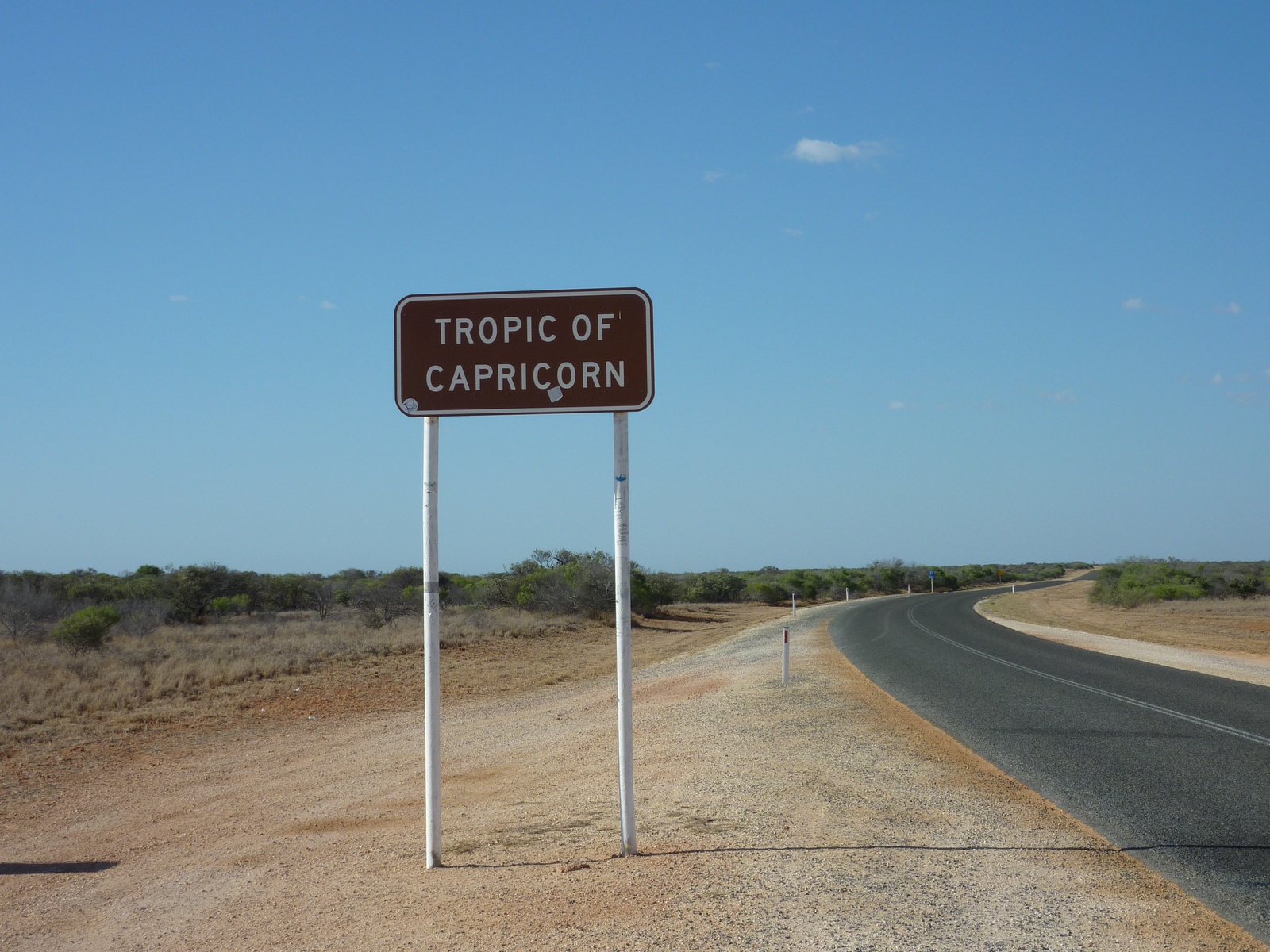
Map of the route “Day 15 – 11/23/2011: Carnarvon – Coral Bay”: 265.62 km, 3,396 m of climbing and 3,384 m of descent, elevation between -10 m and 77 m, time 12:09:45. It starts at -24.87981, 113.66172 and ends at -23.14430, 113.77094 (latitude, longitude).