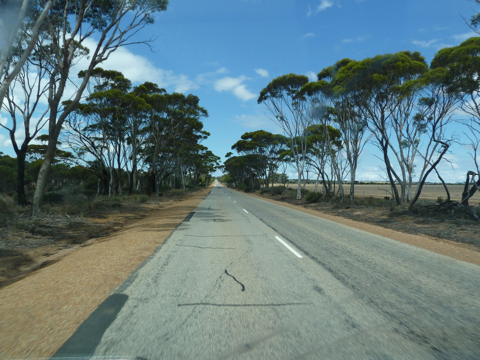
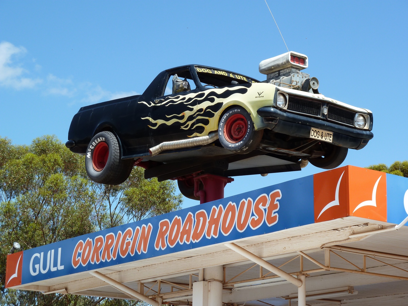
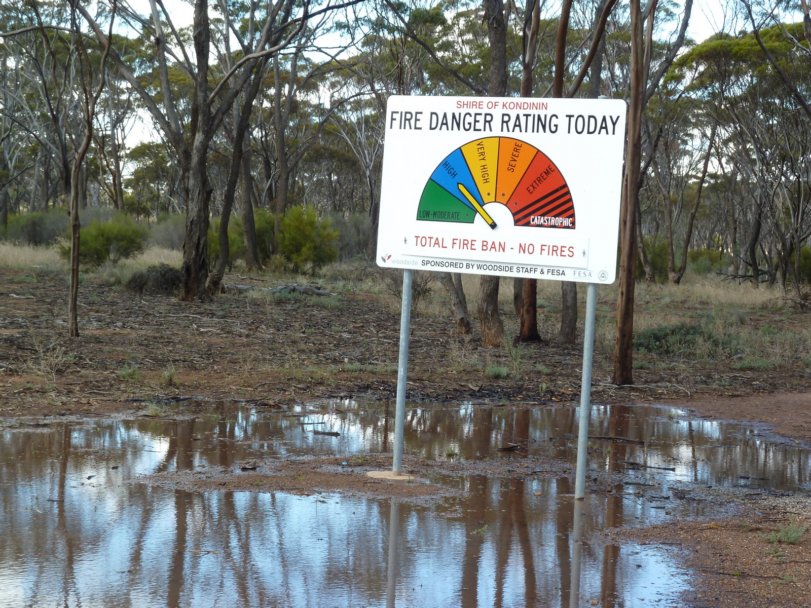
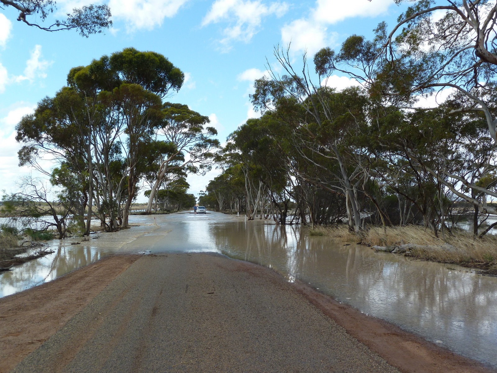
Map of the route “Day 29 – 12/07/2011: Perth – Corrigin – Merredin”: 535.50 km, 4,388 m of climbing and 4,088 m of descent, elevation between -12 m and 371 m, time 21:16:41. It starts at -31.85851, 115.94539 and ends at -31.48360, 118.28106 (latitude, longitude).