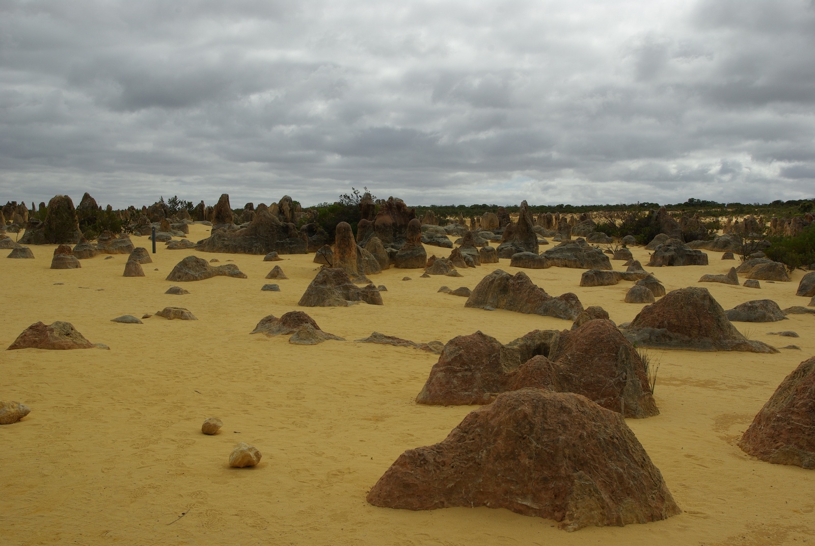
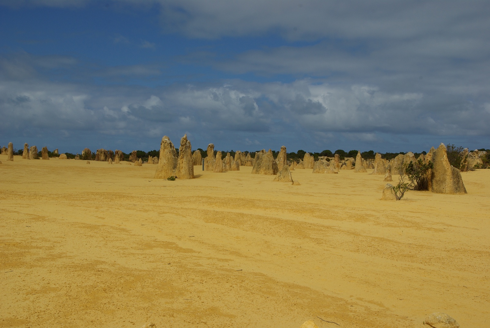
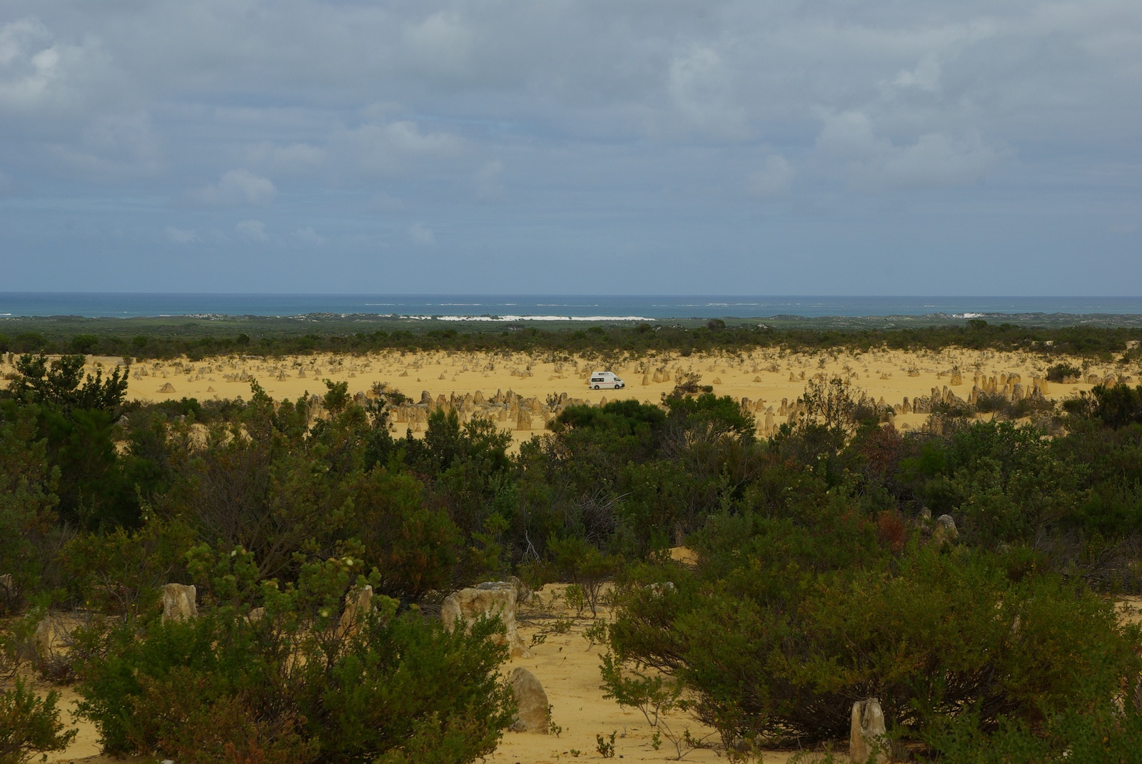
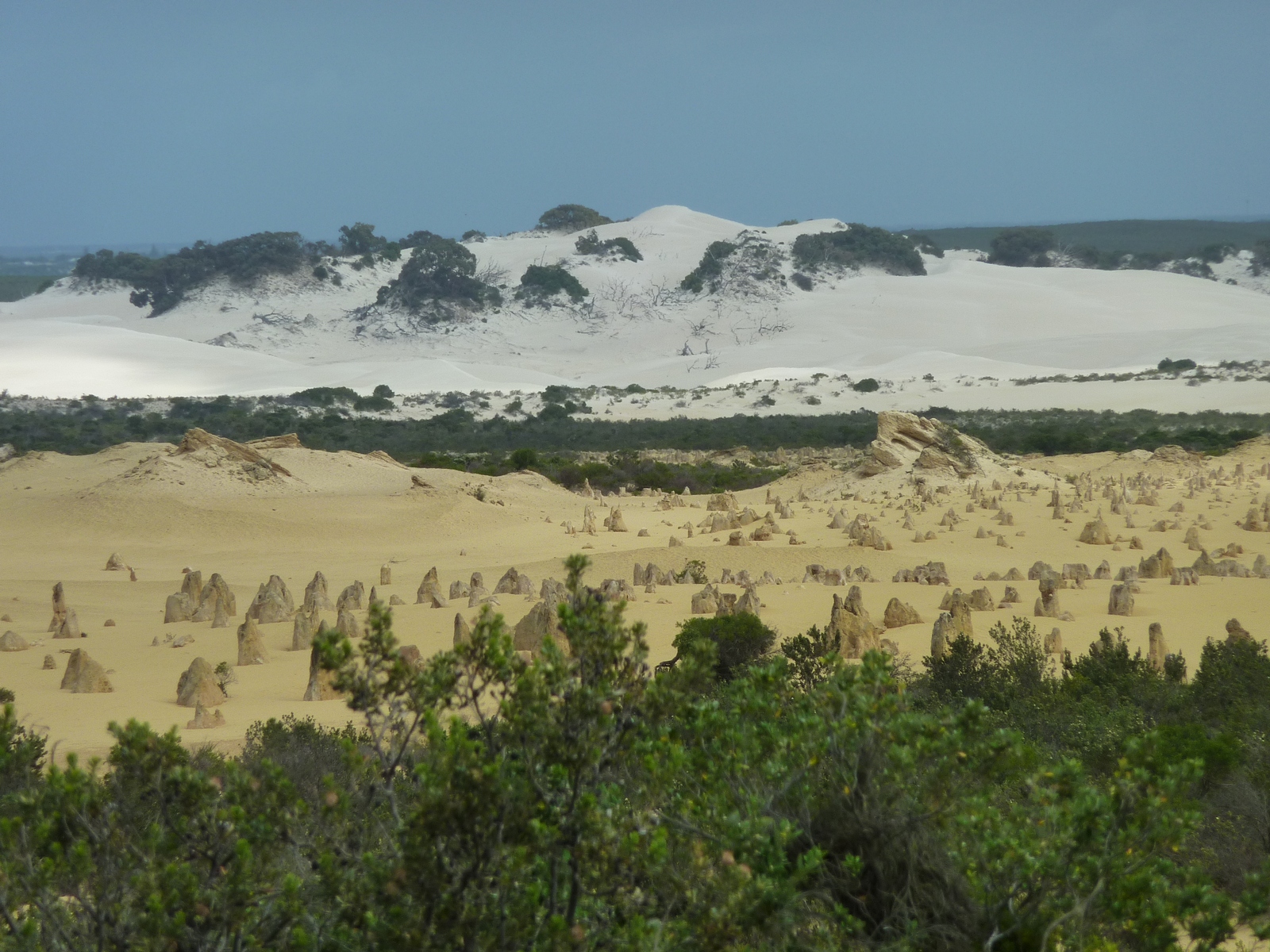
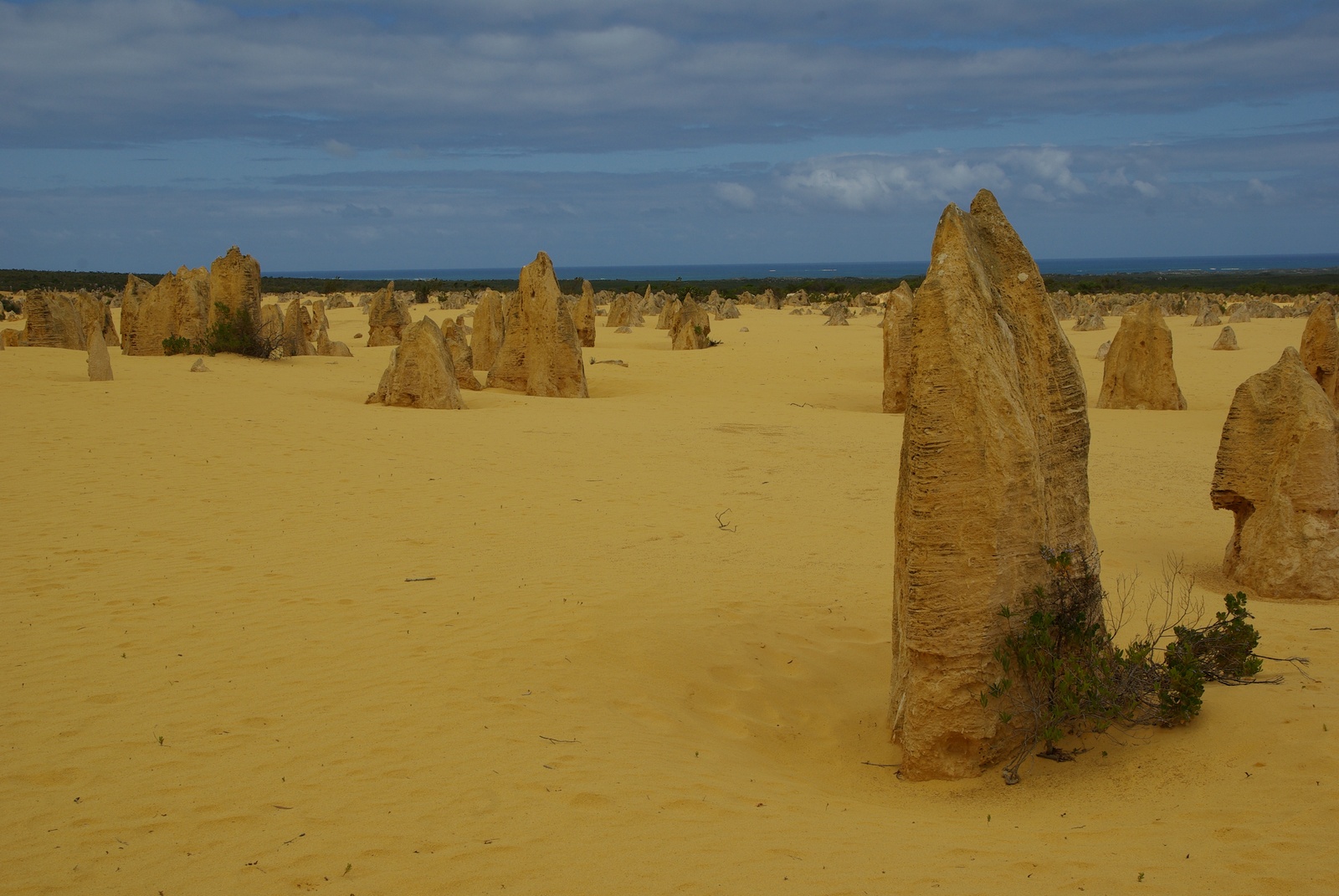
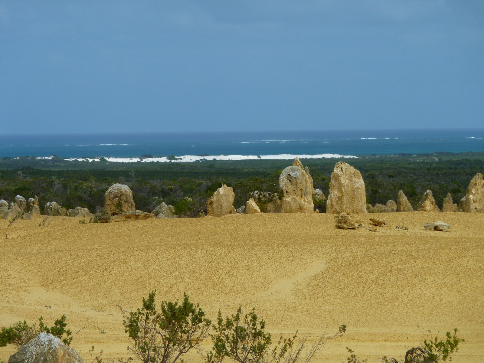
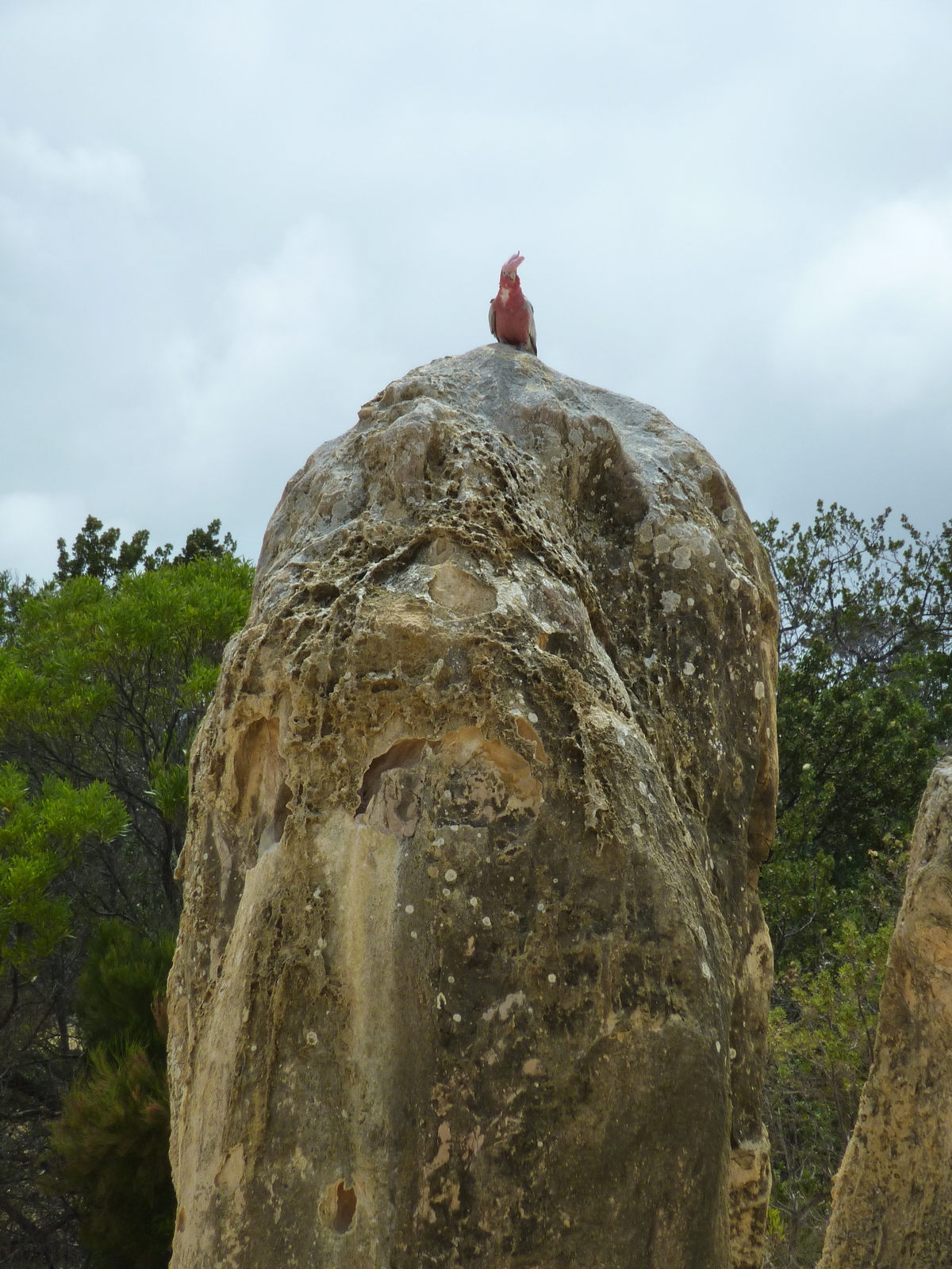
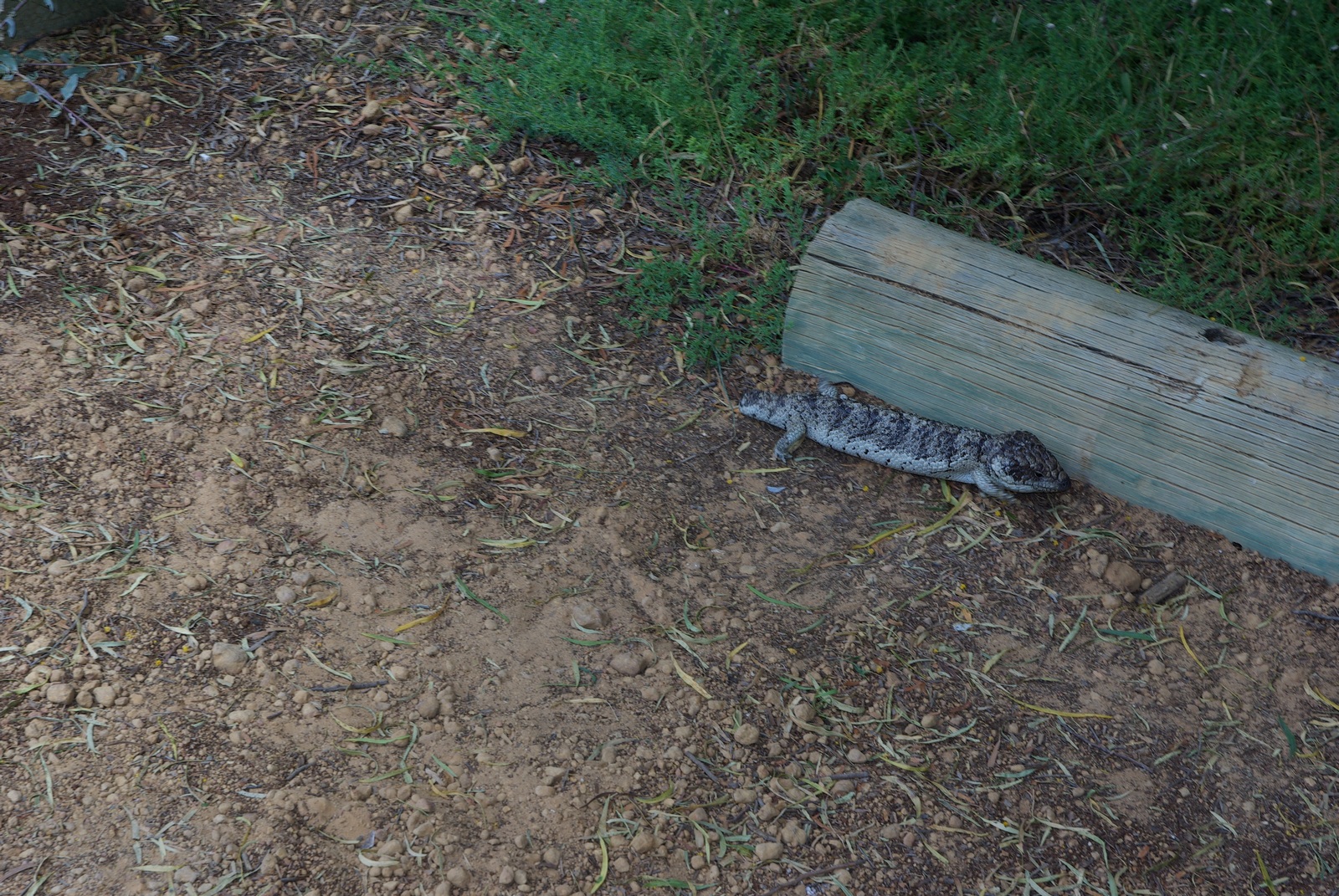
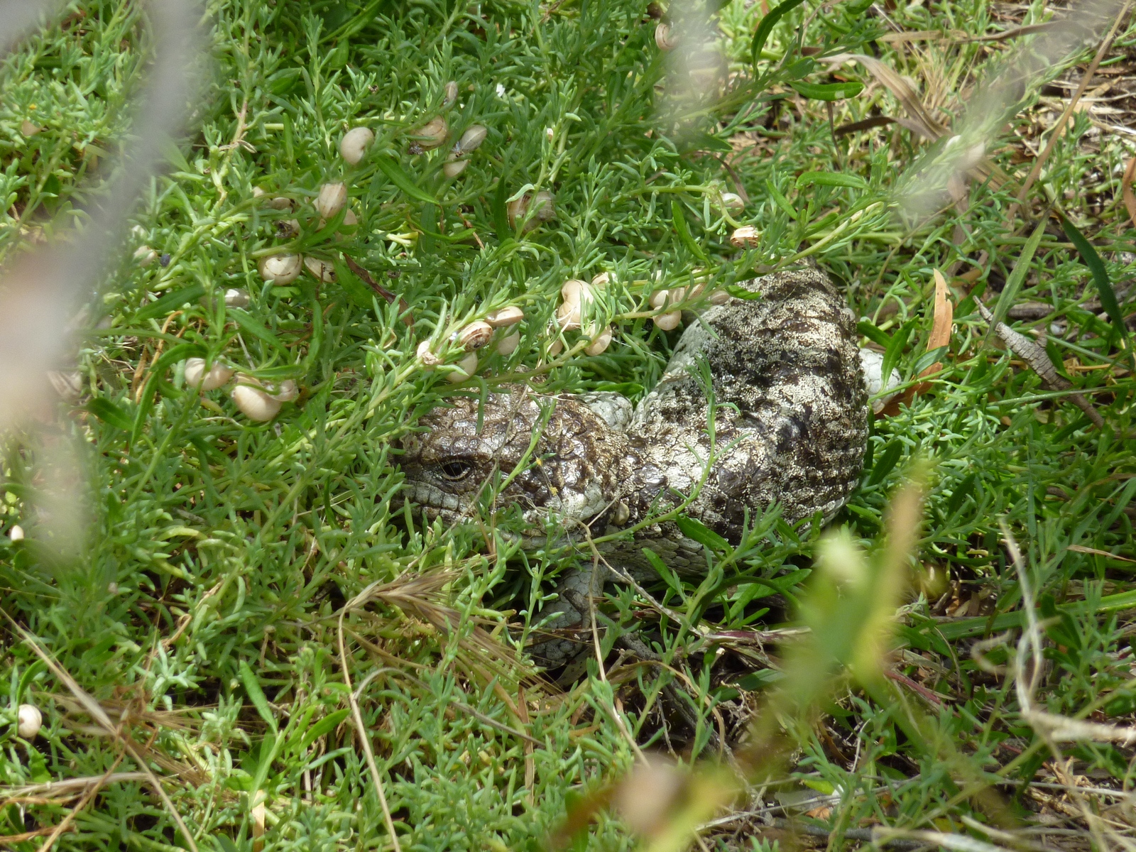
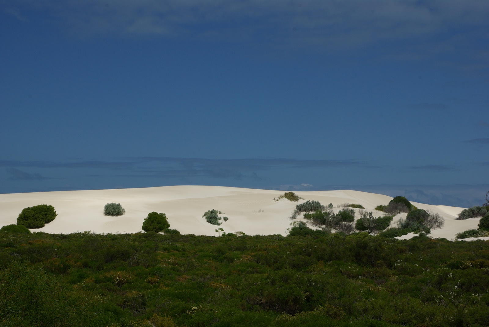
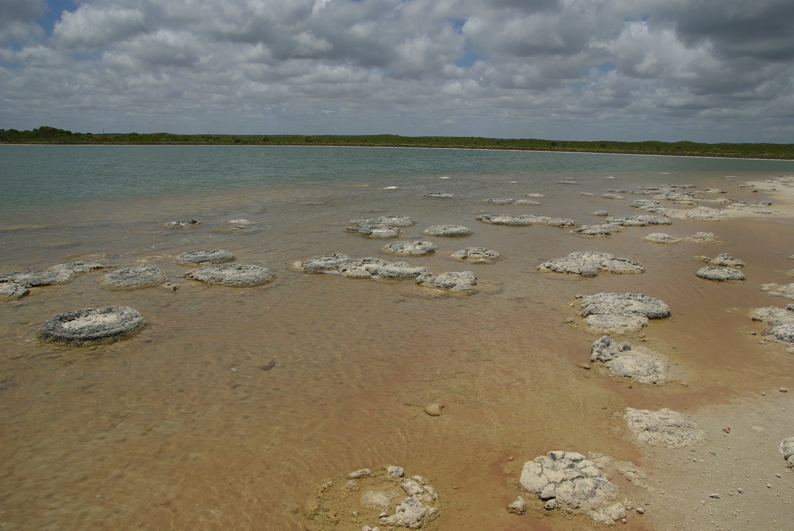
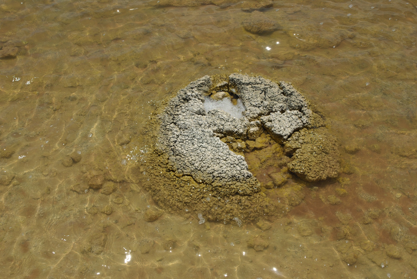
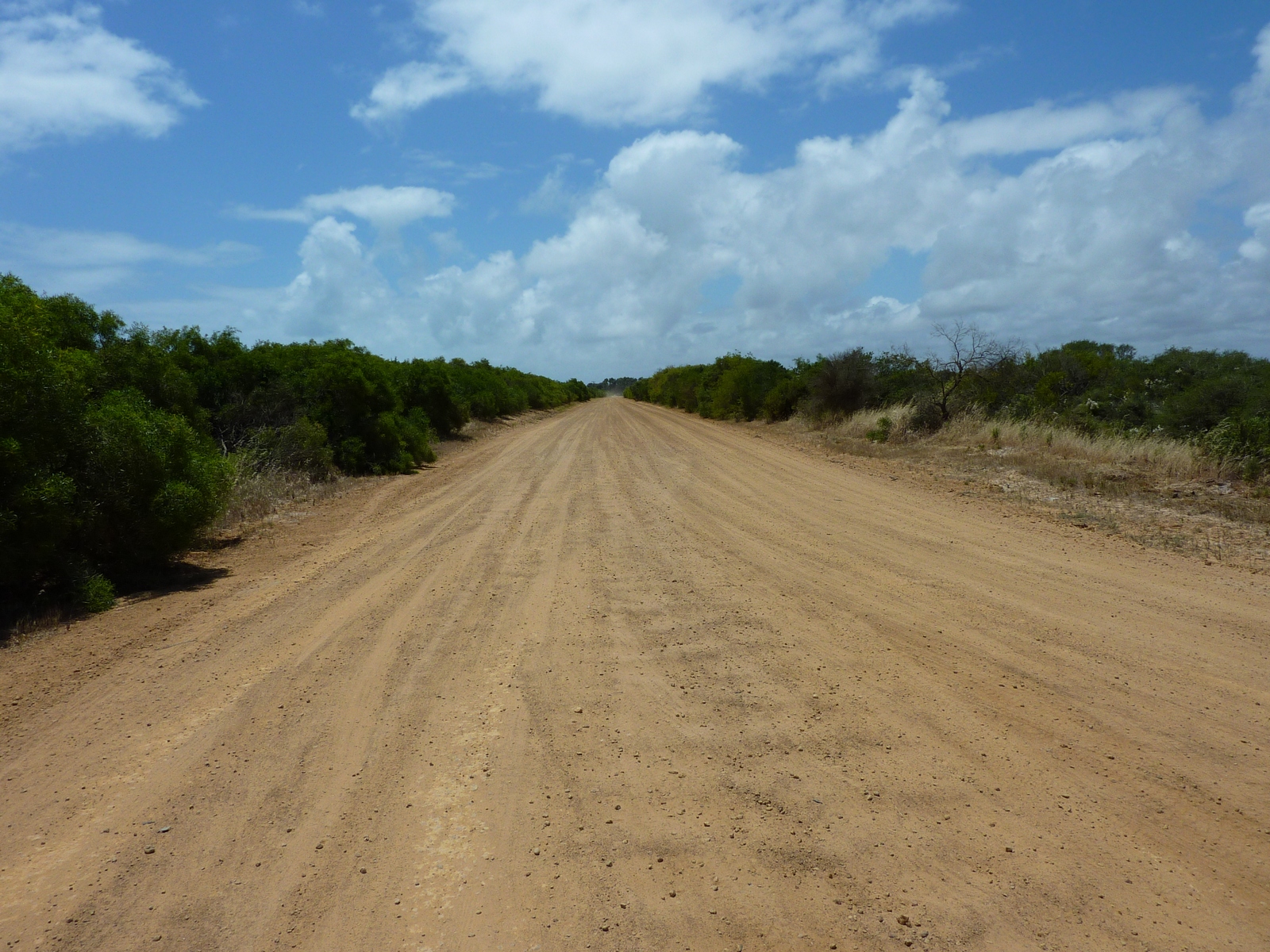
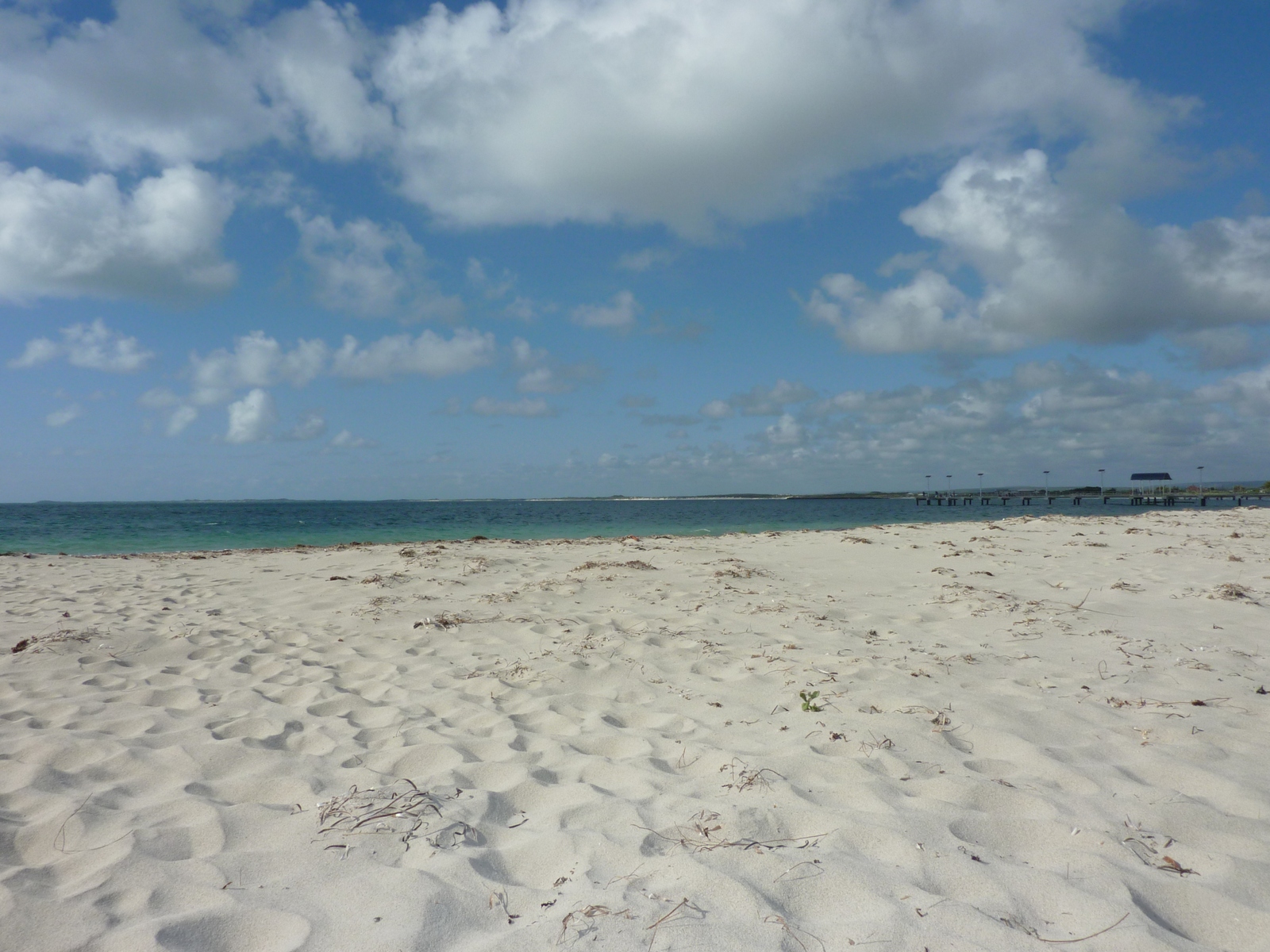
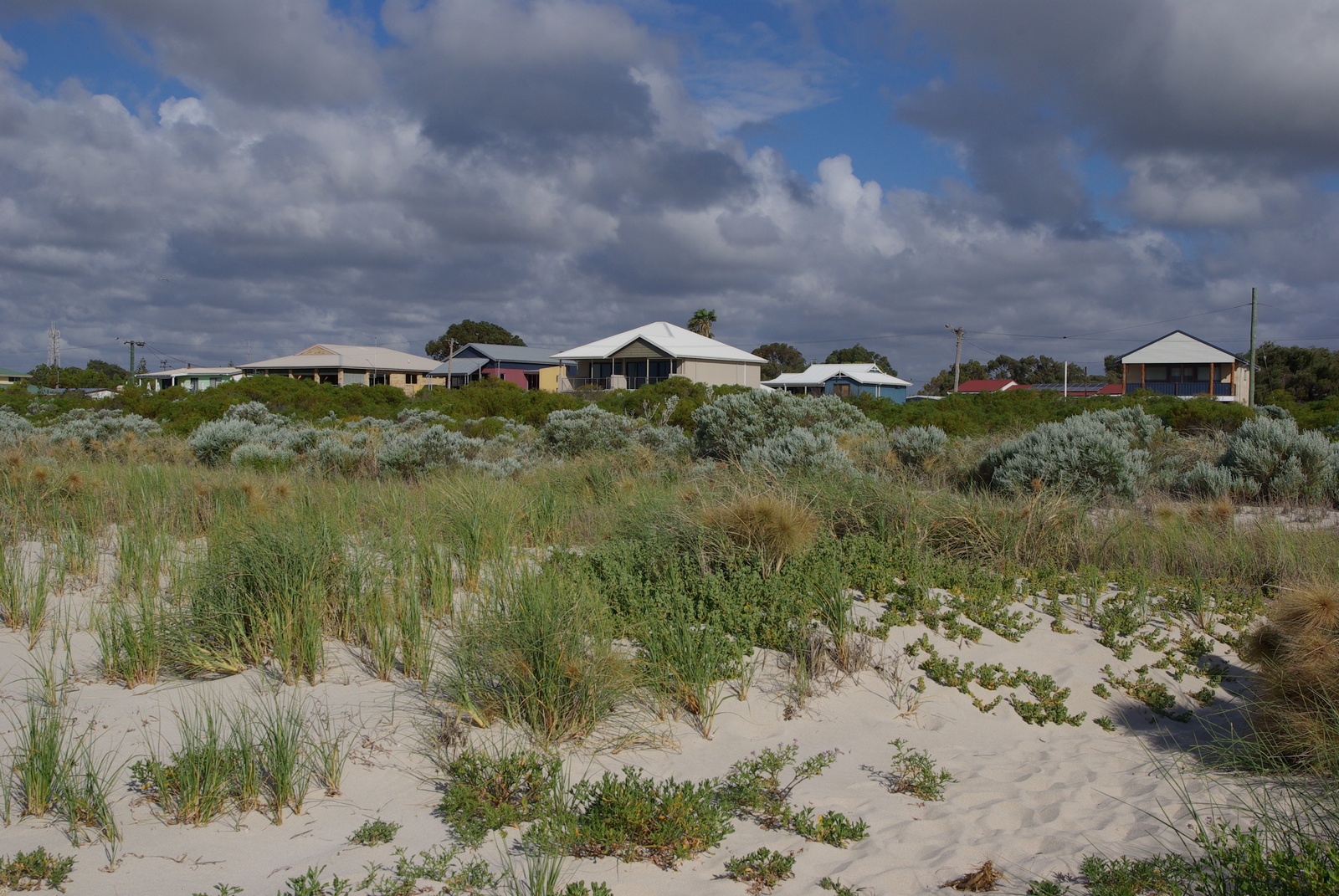
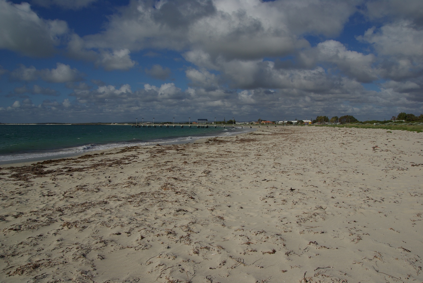
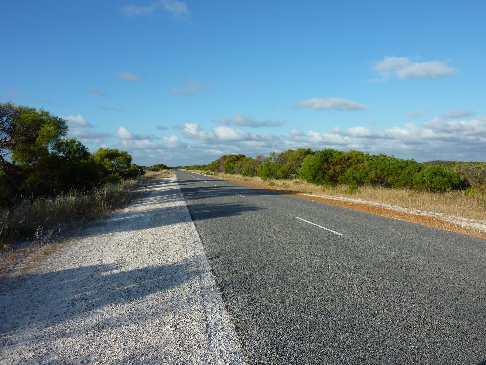
Map of the route “Day 9 – 11/17/2011: Cervantes – Pinnacles – Lake Thetis – Jurien Bay – Dongara”: 222.96 km, 3,041 m of climbing and 3,048 m of descent, elevation between -17 m and 91 m, time 14:40:38. It starts at -30.49781, 115.06752 and ends at -29.25319, 114.92170 (latitude, longitude).