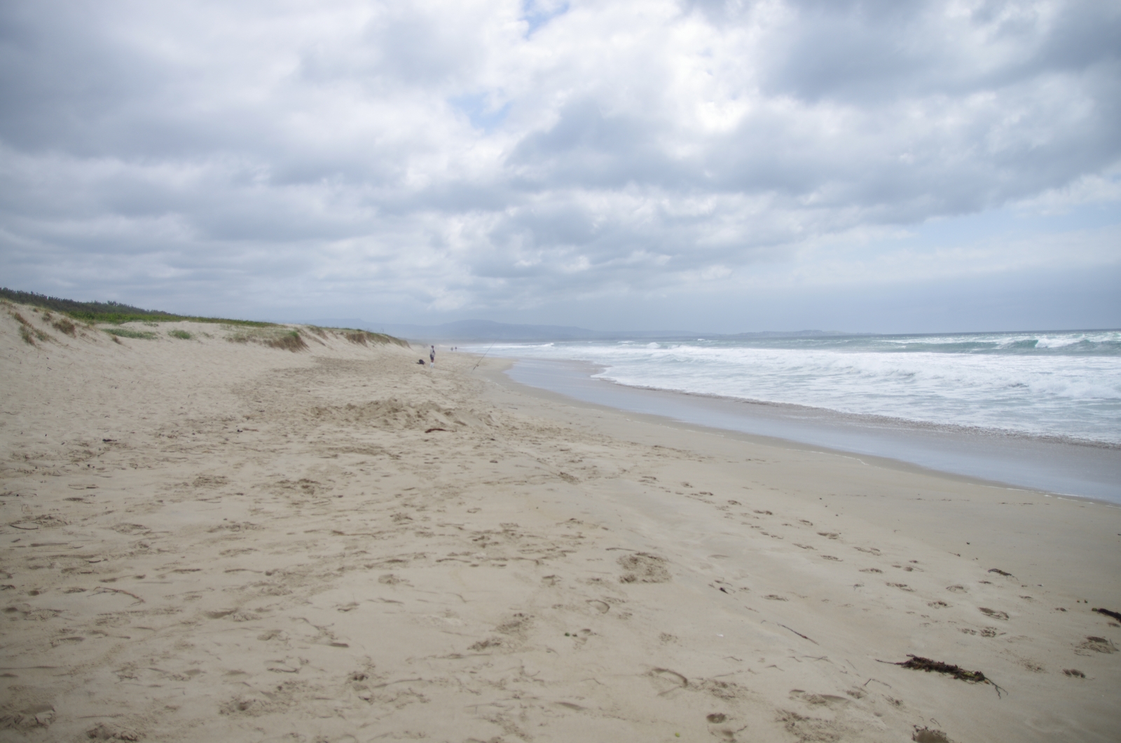
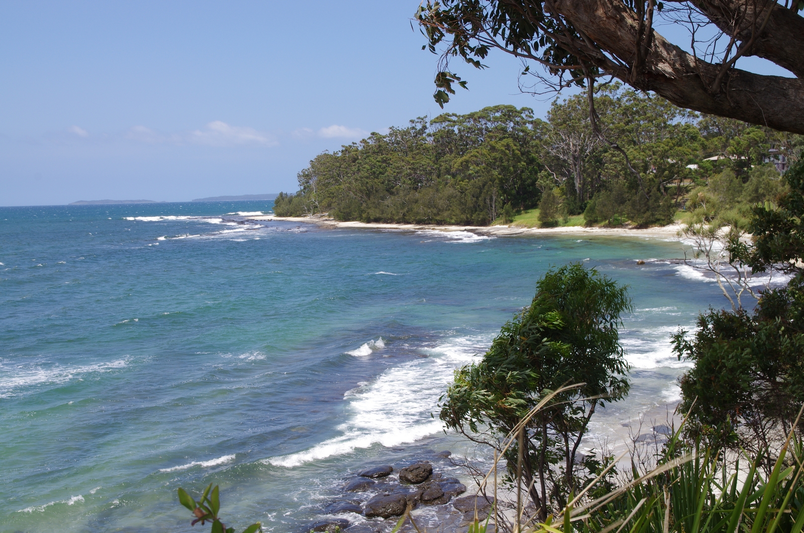
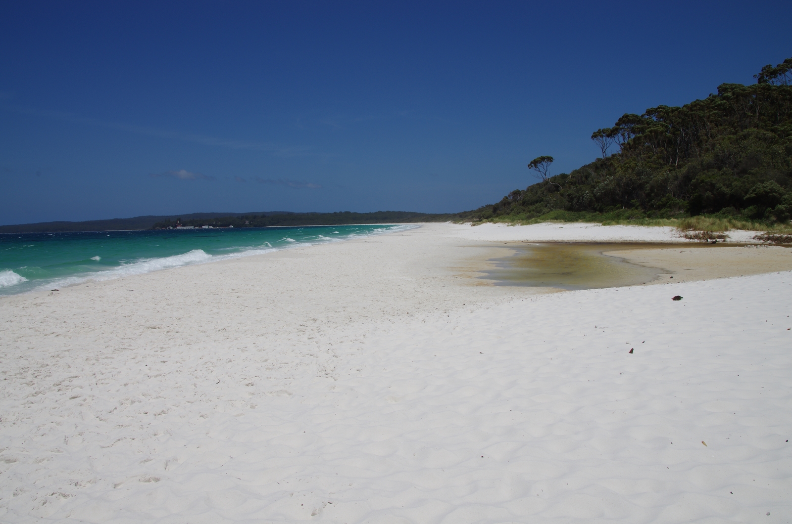
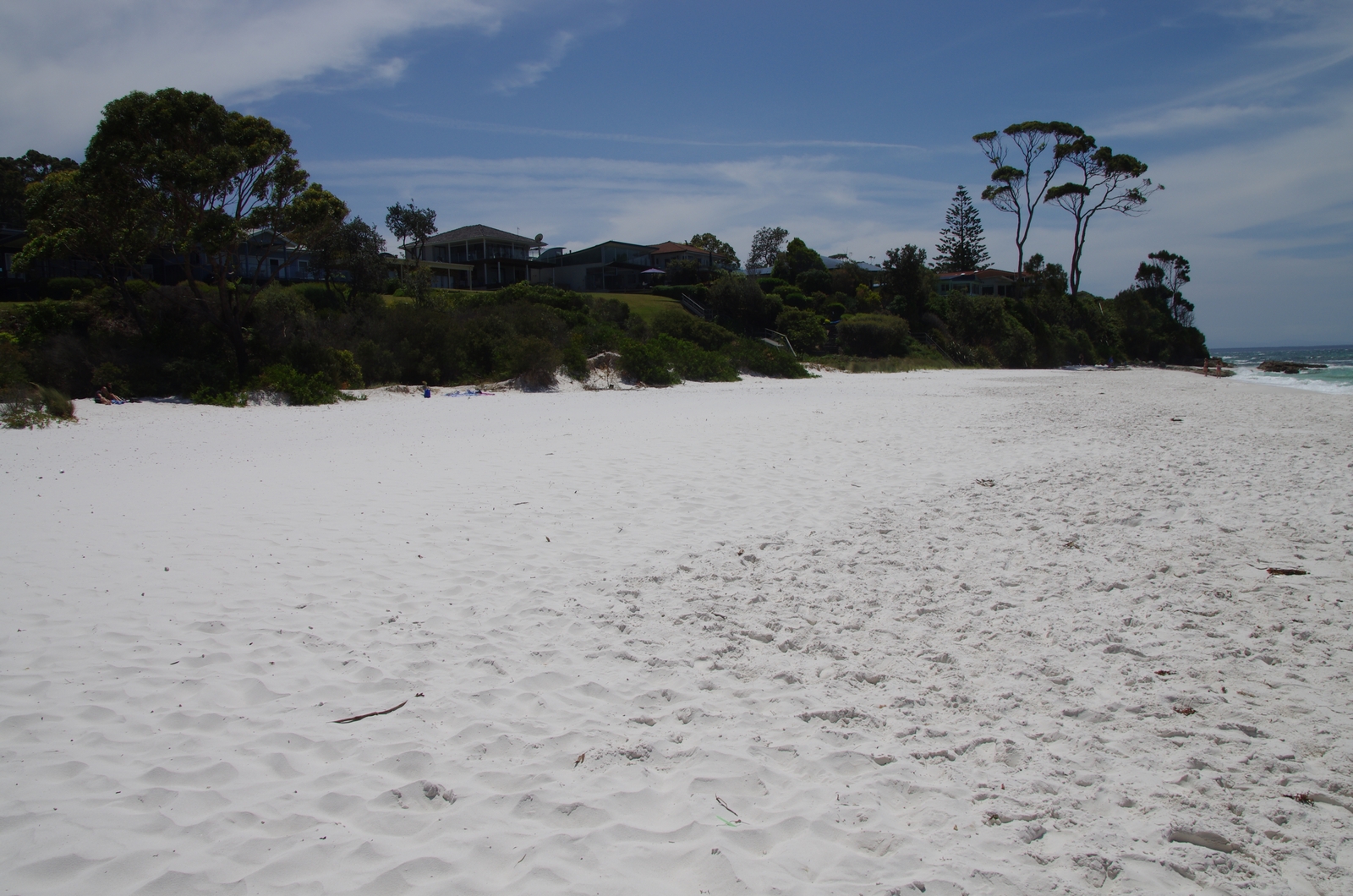
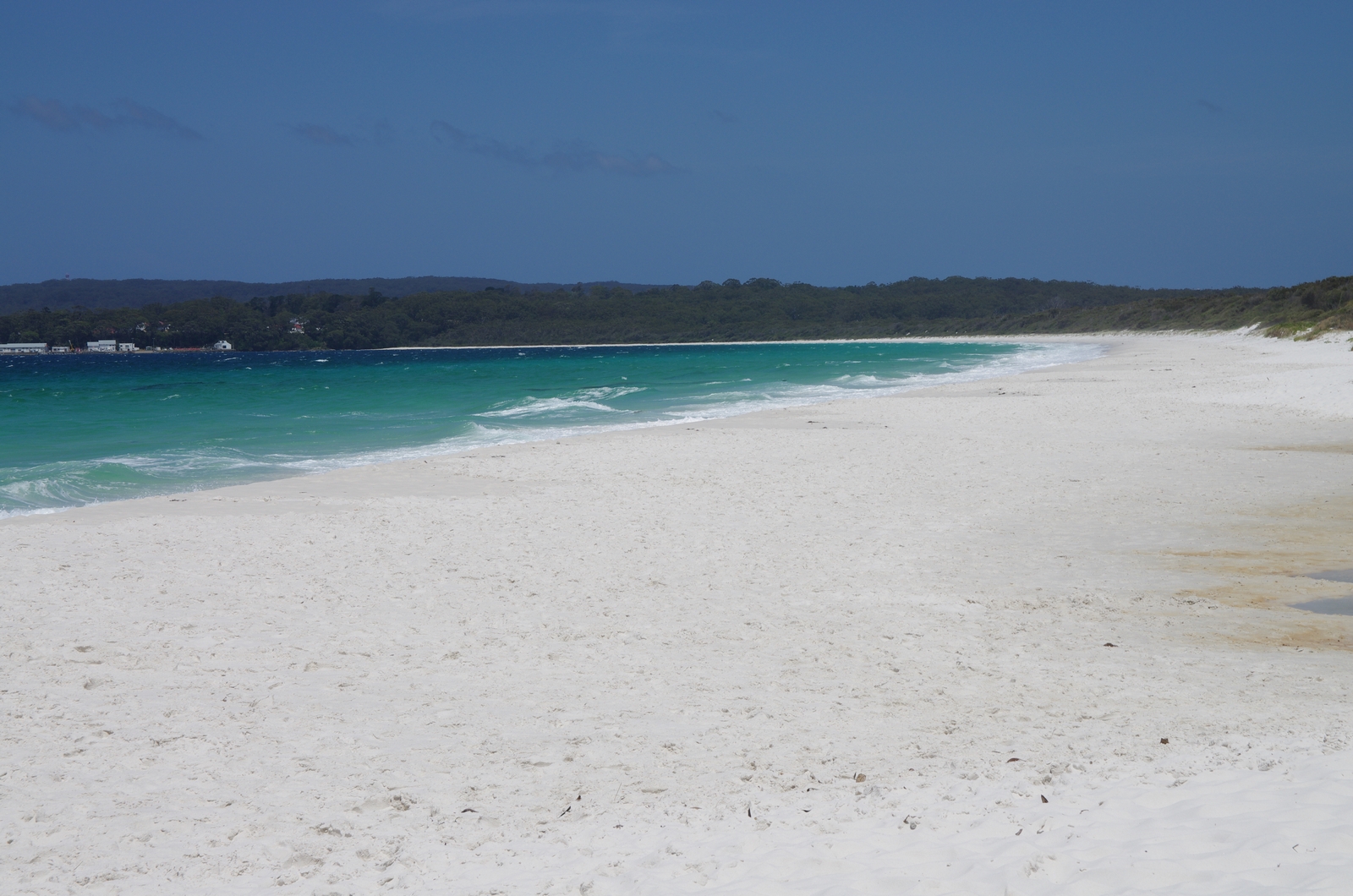
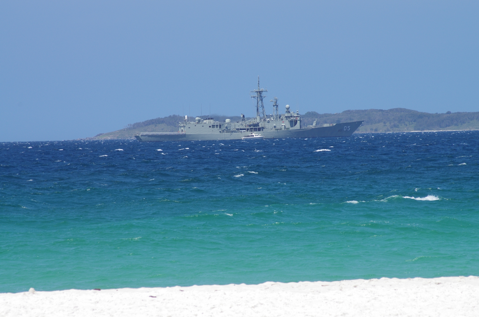
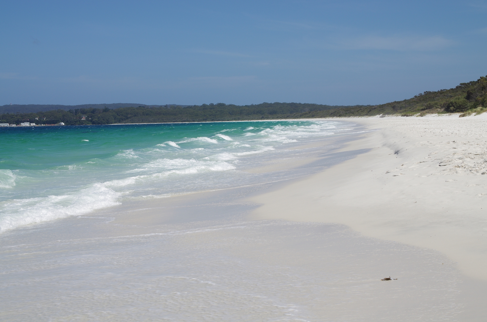
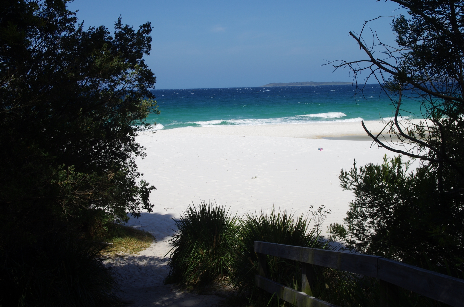
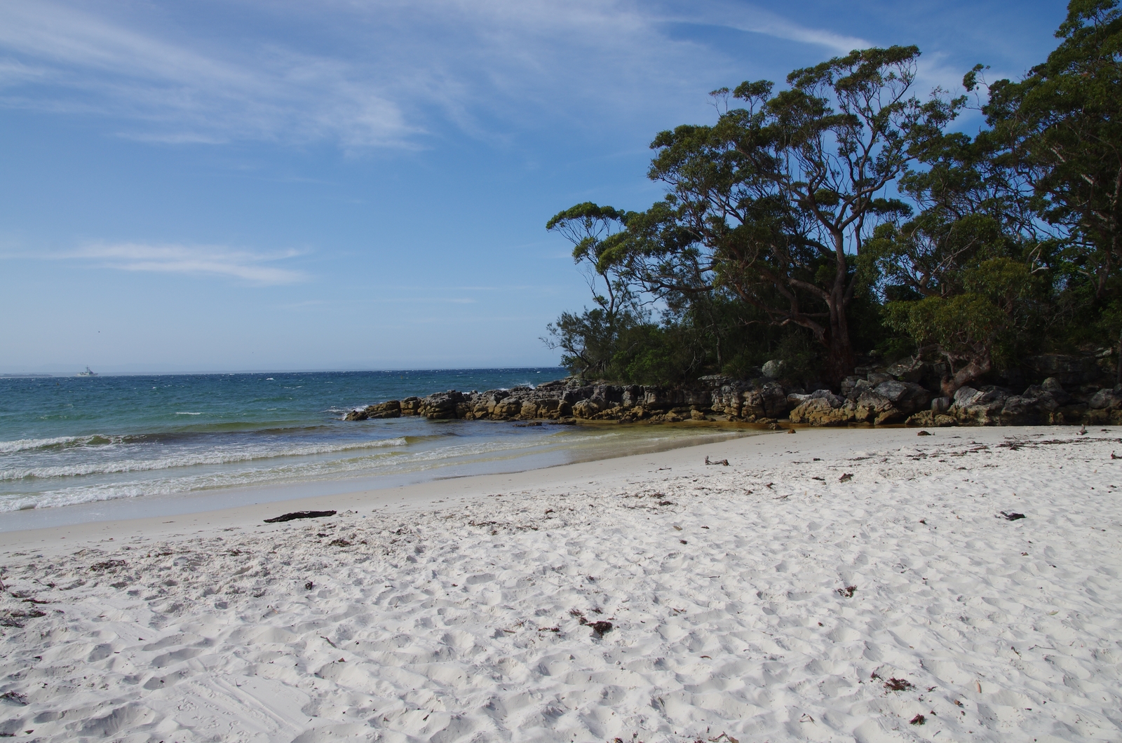
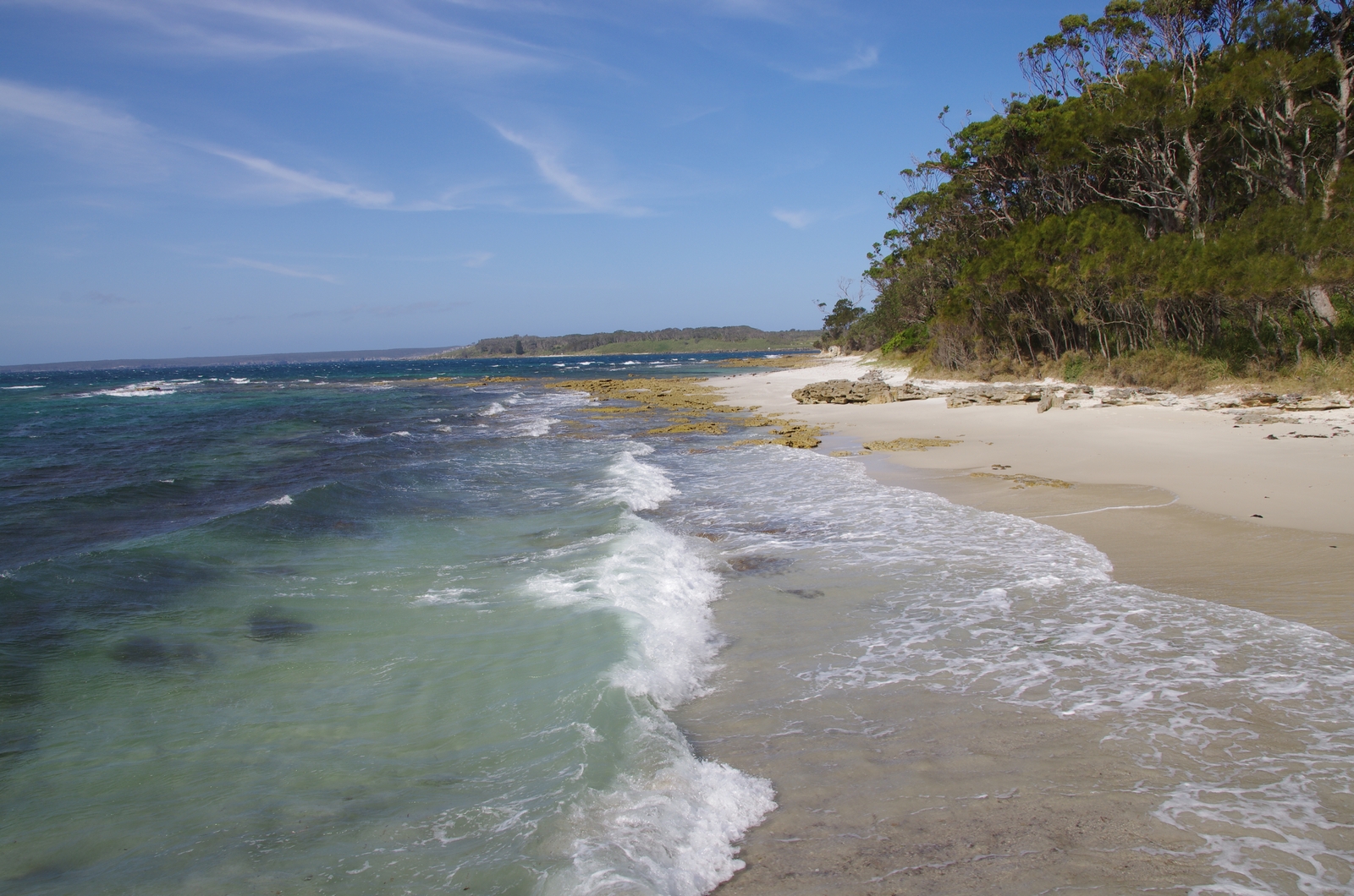
Map of the route “Day 21 – 11/13/2014: Shoalhaven Heads – Jervis Bay – Burrill Lake”: 148.57 km, 2,624 m of climbing and 2,631 m of descent, elevation between -3 m and 155 m, time 09:14:57. It starts at -34.85362, 150.74643 and ends at -35.39140, 150.44382 (latitude, longitude).