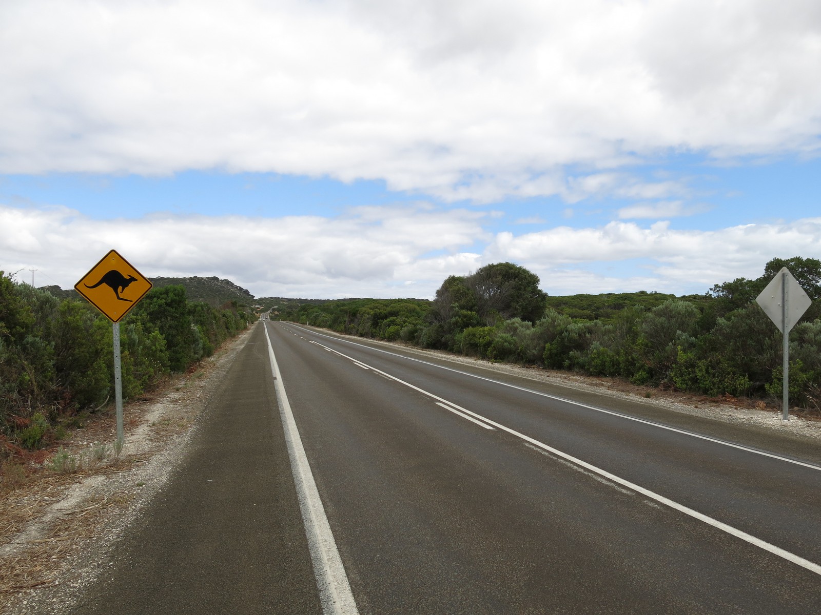
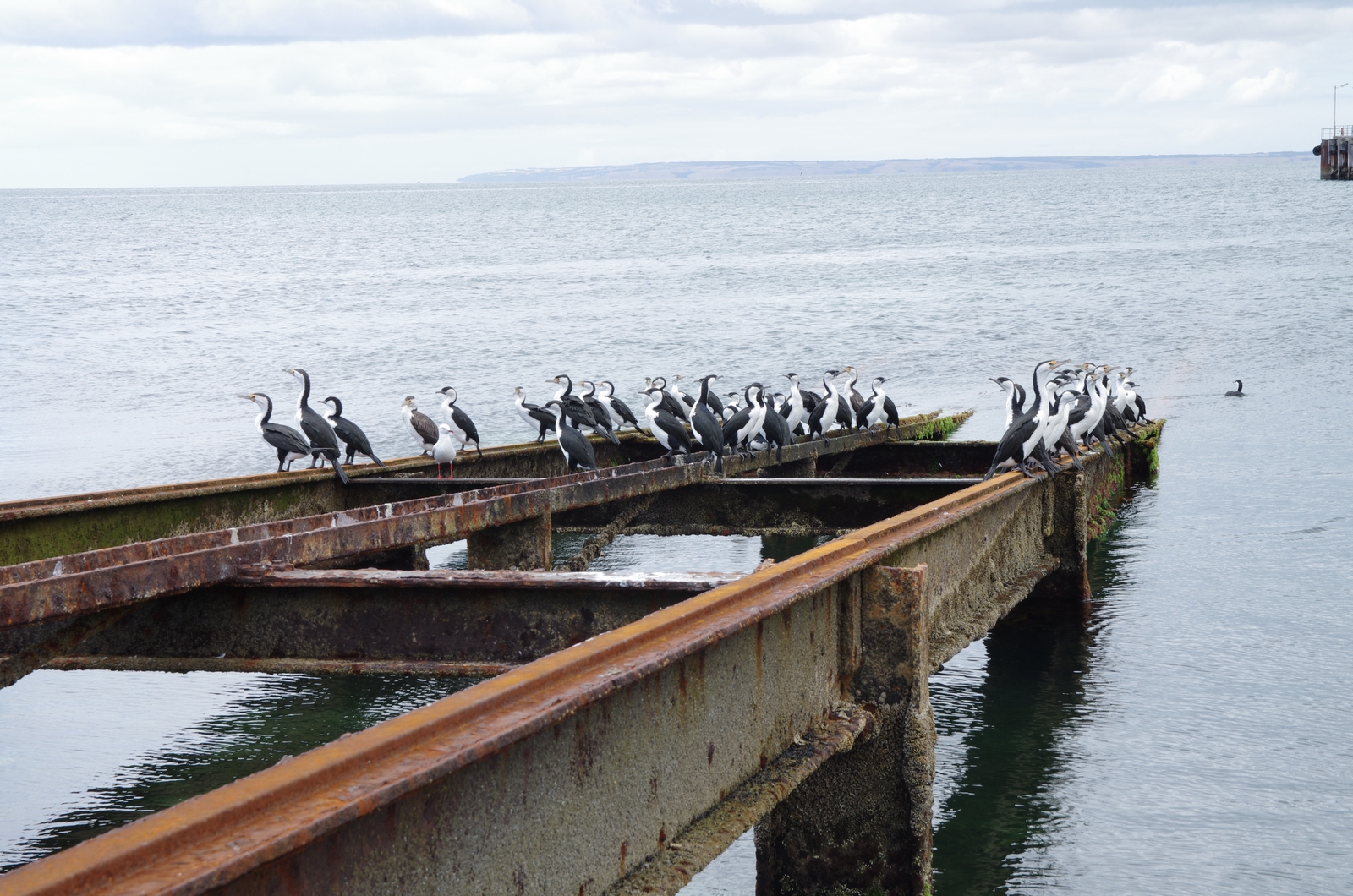
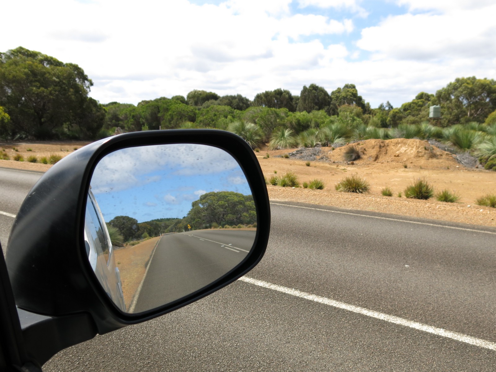
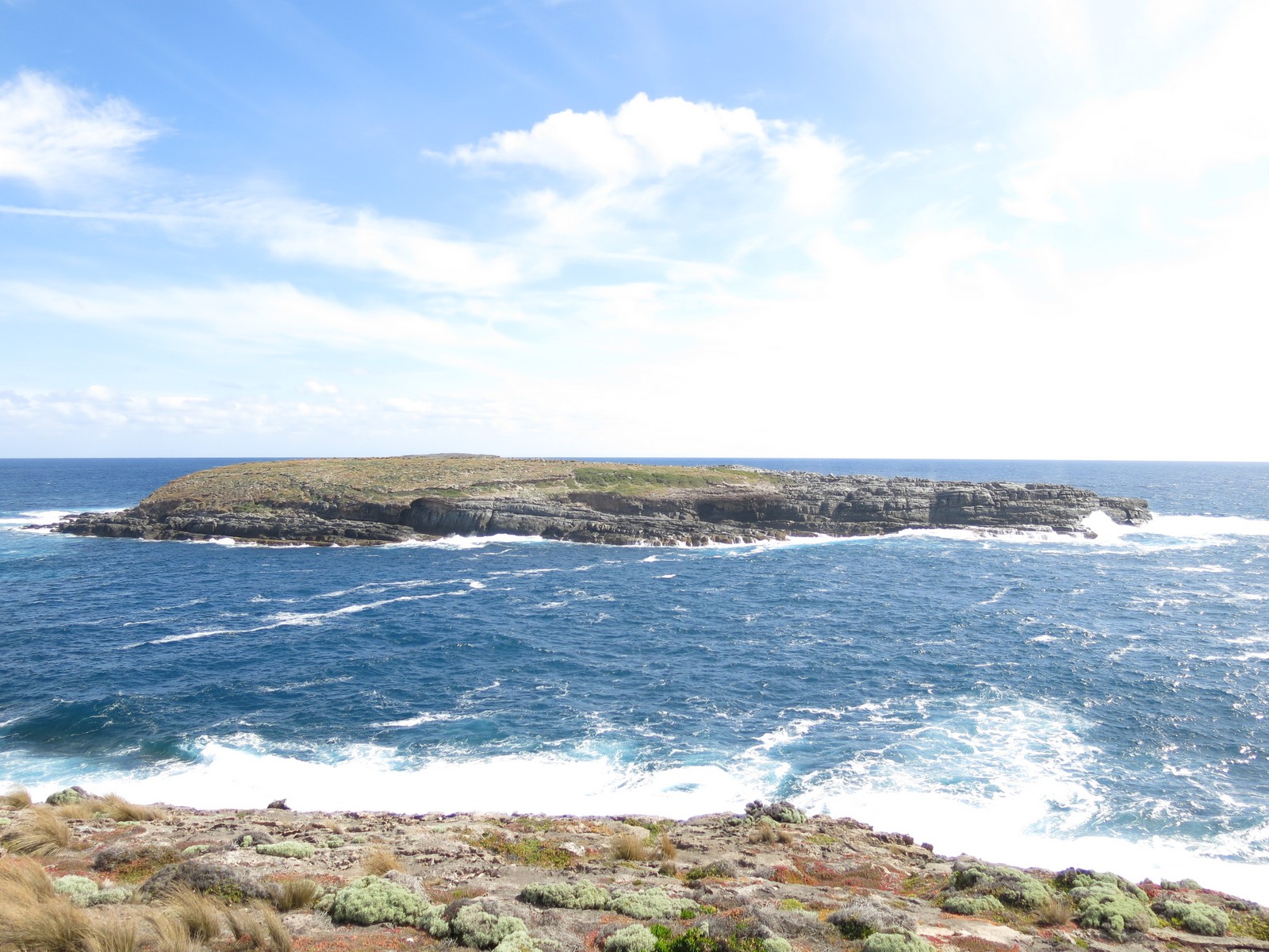
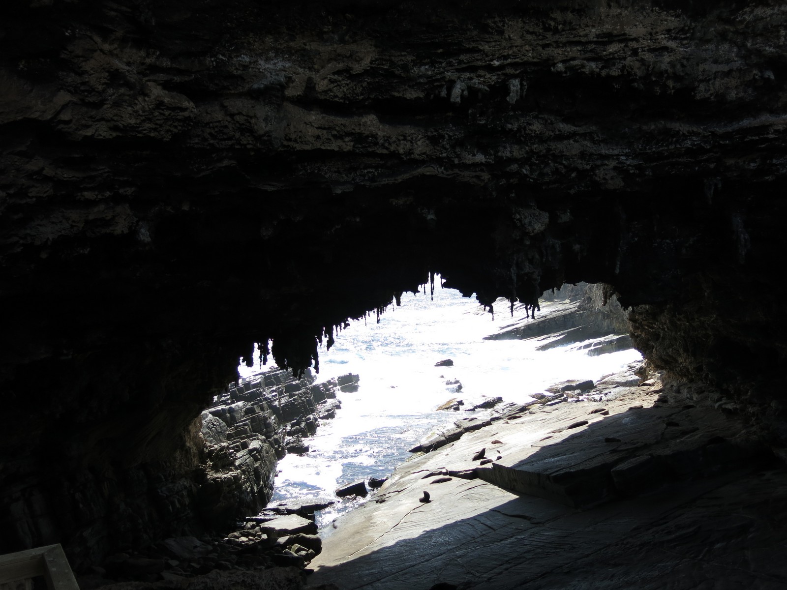
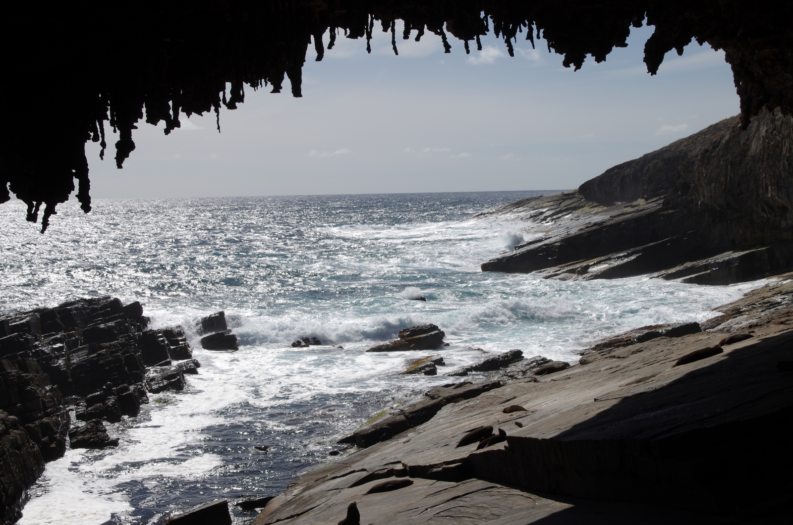
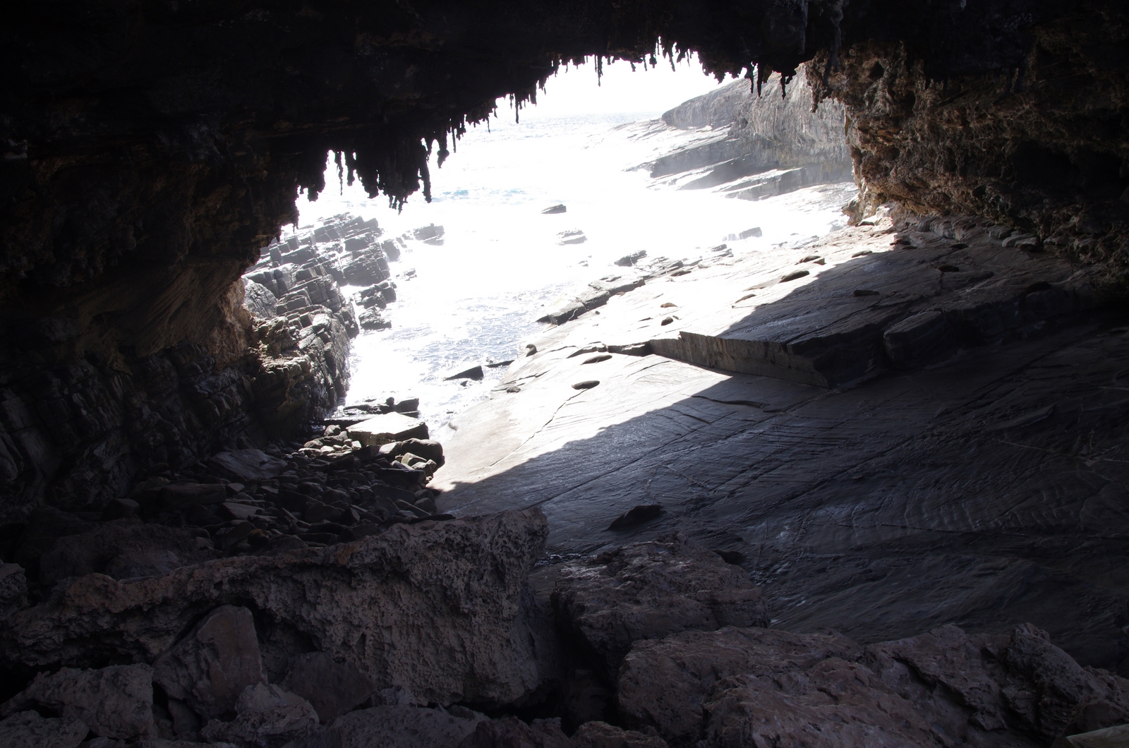
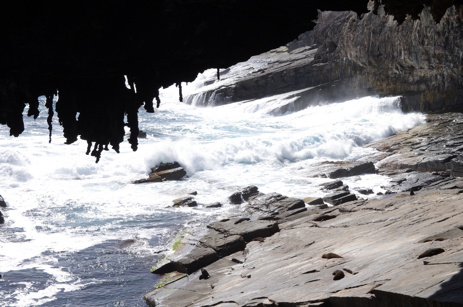
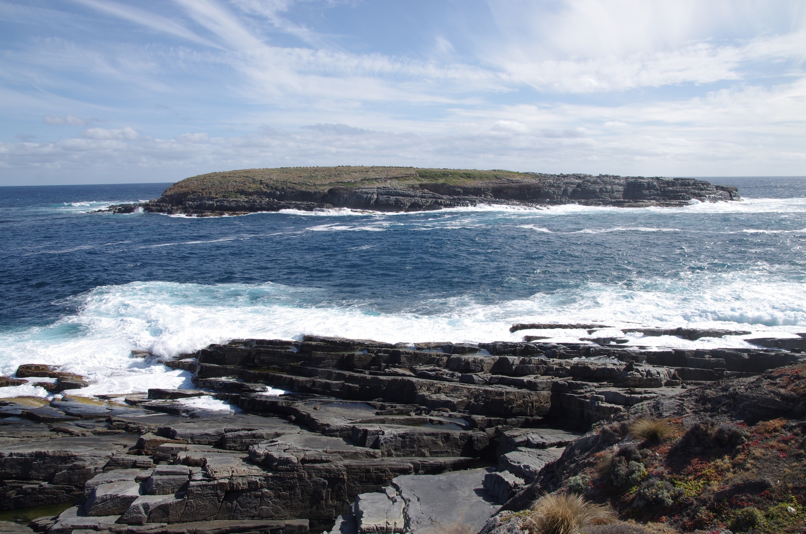
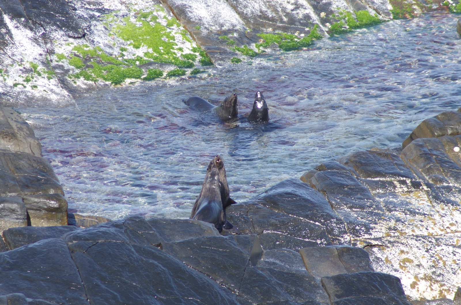
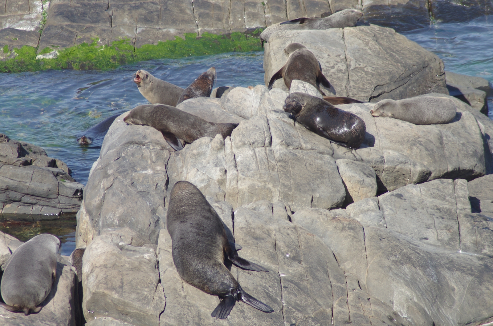
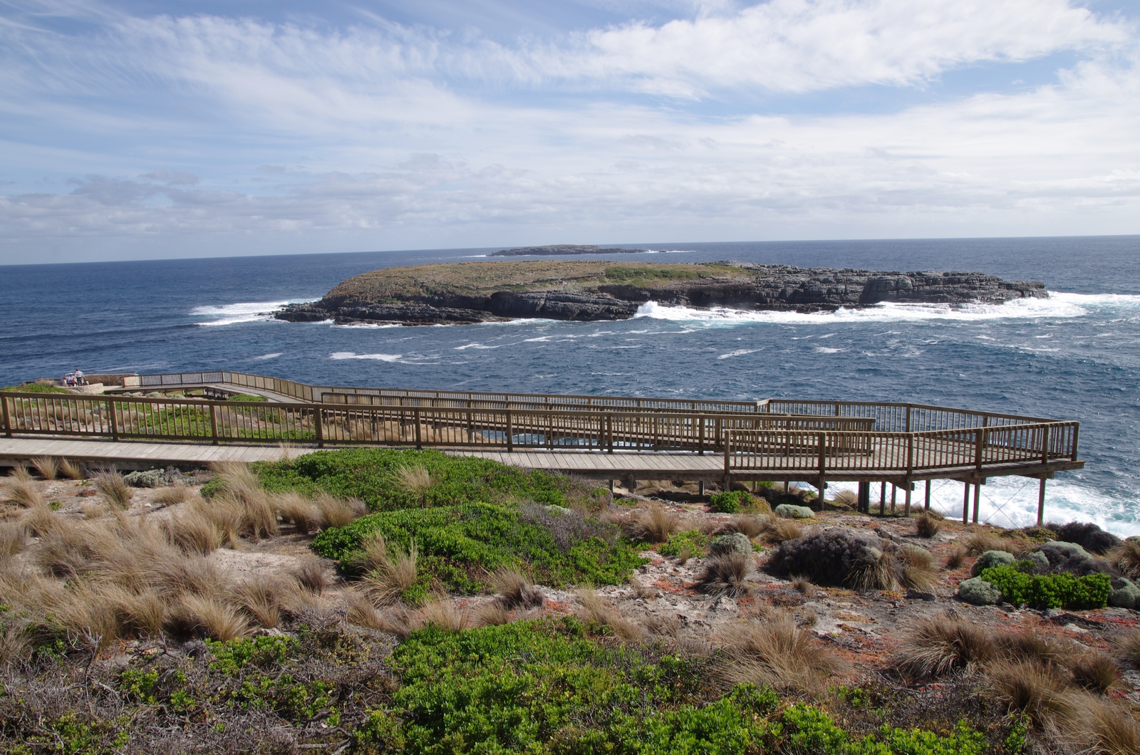
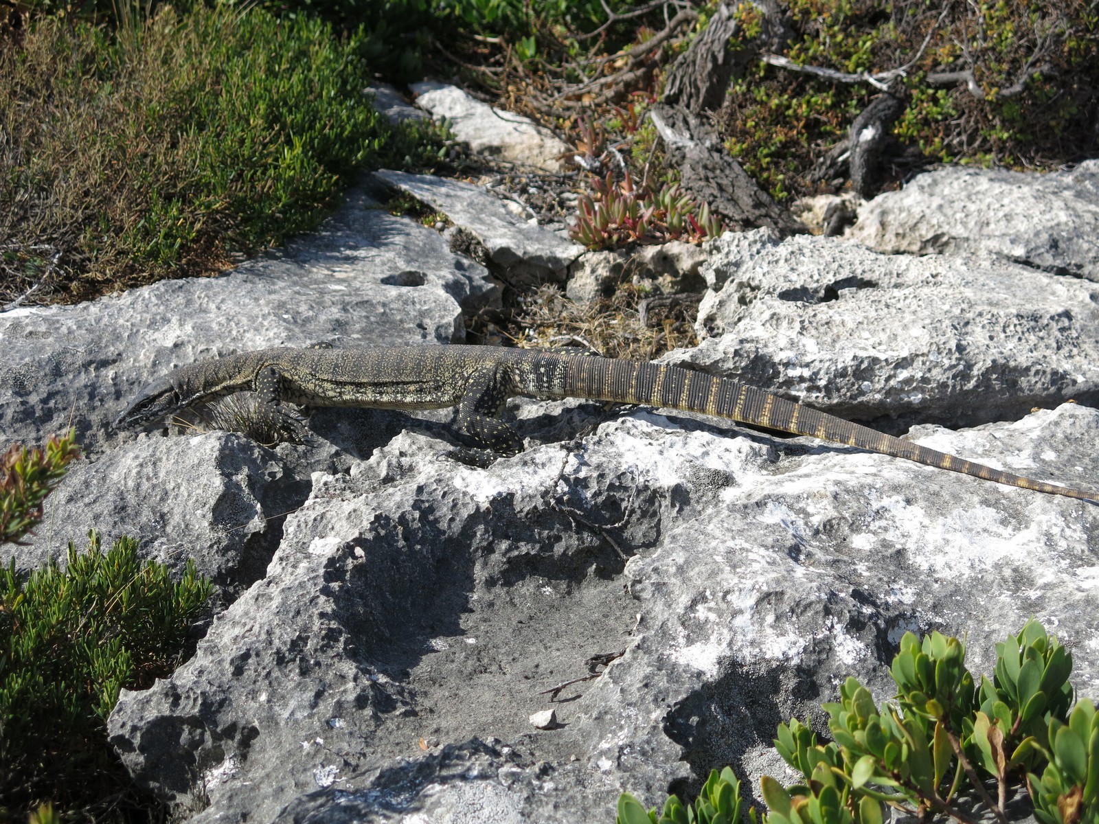
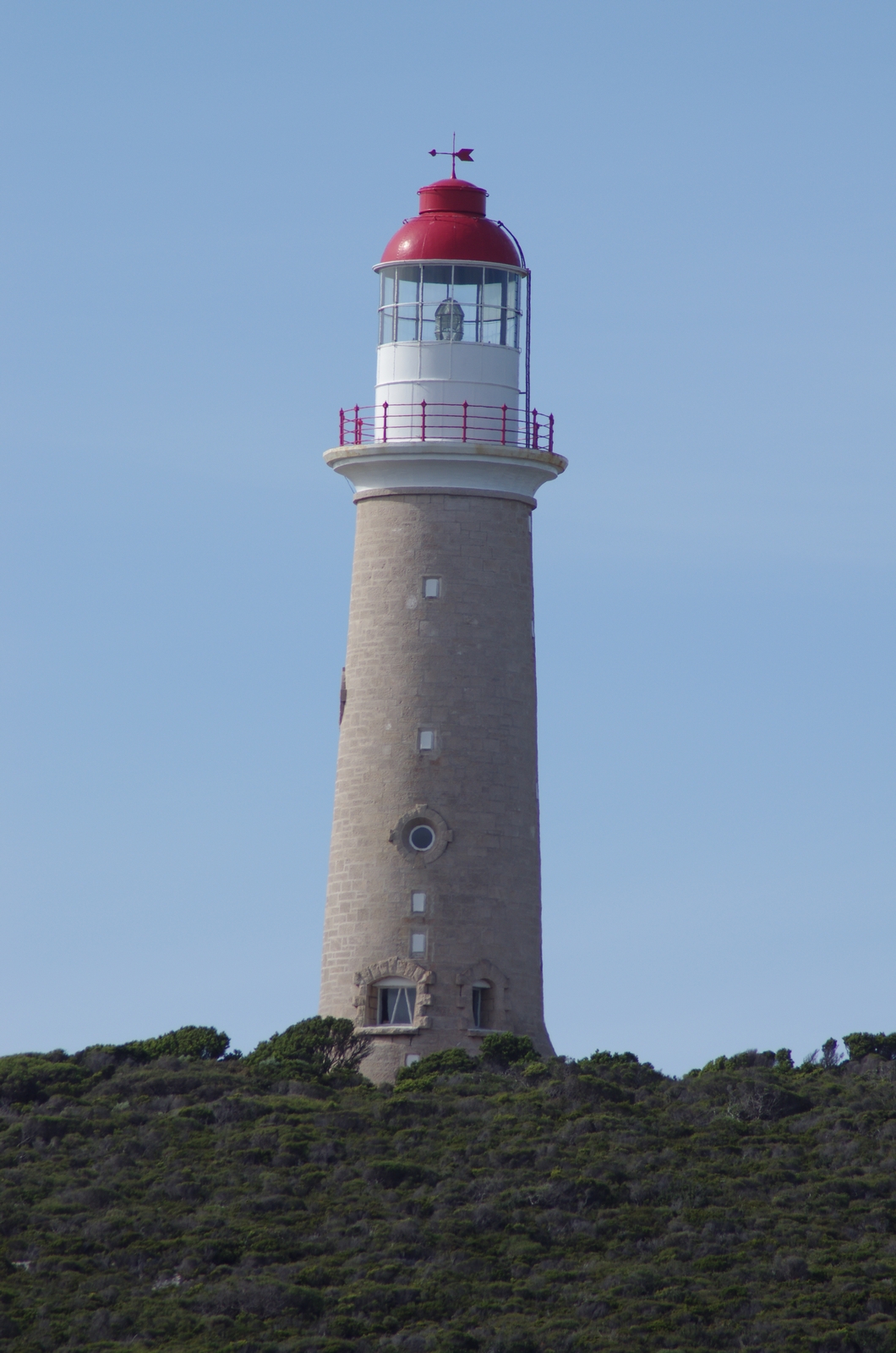
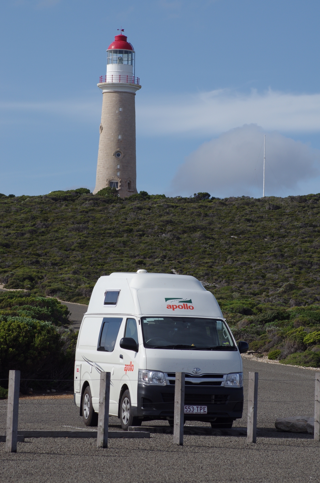
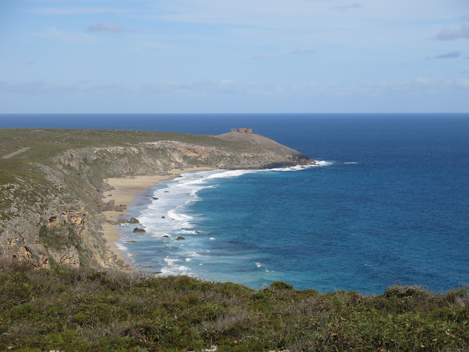
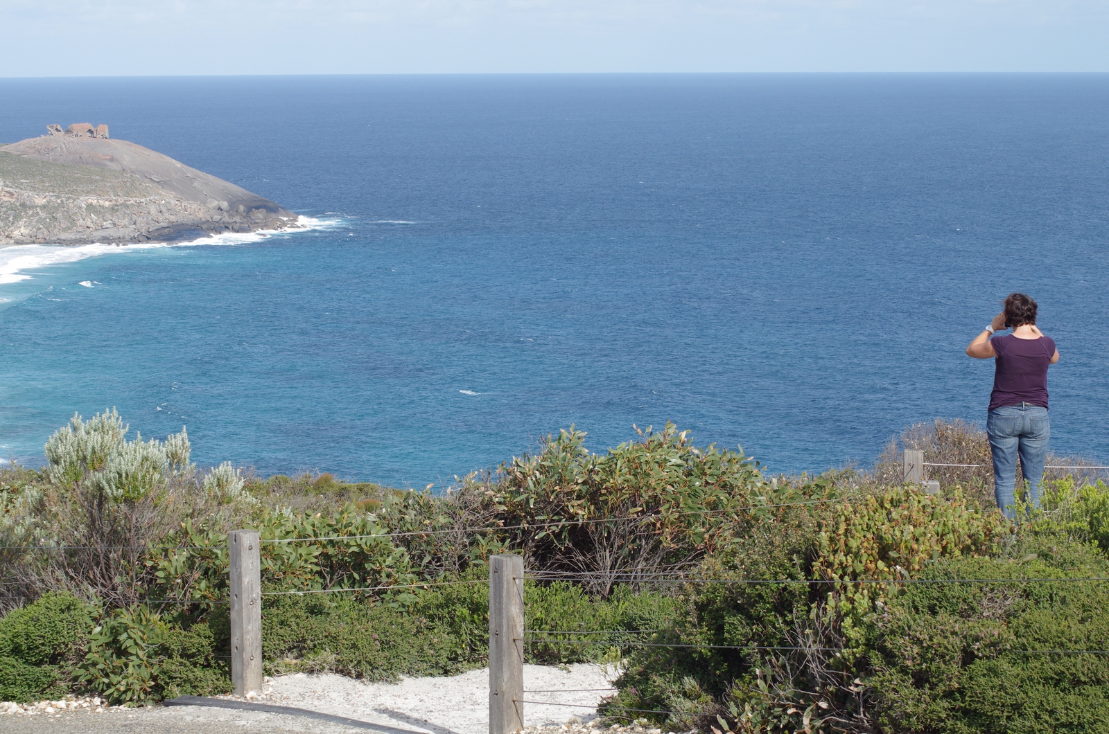
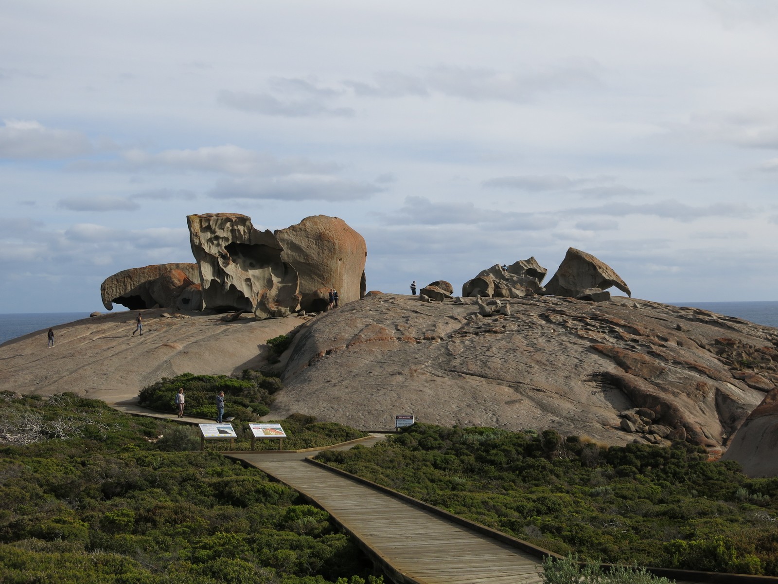
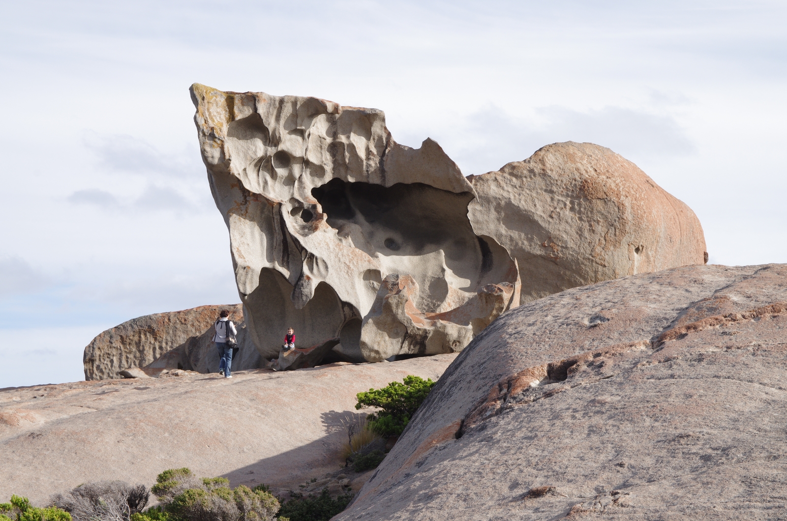
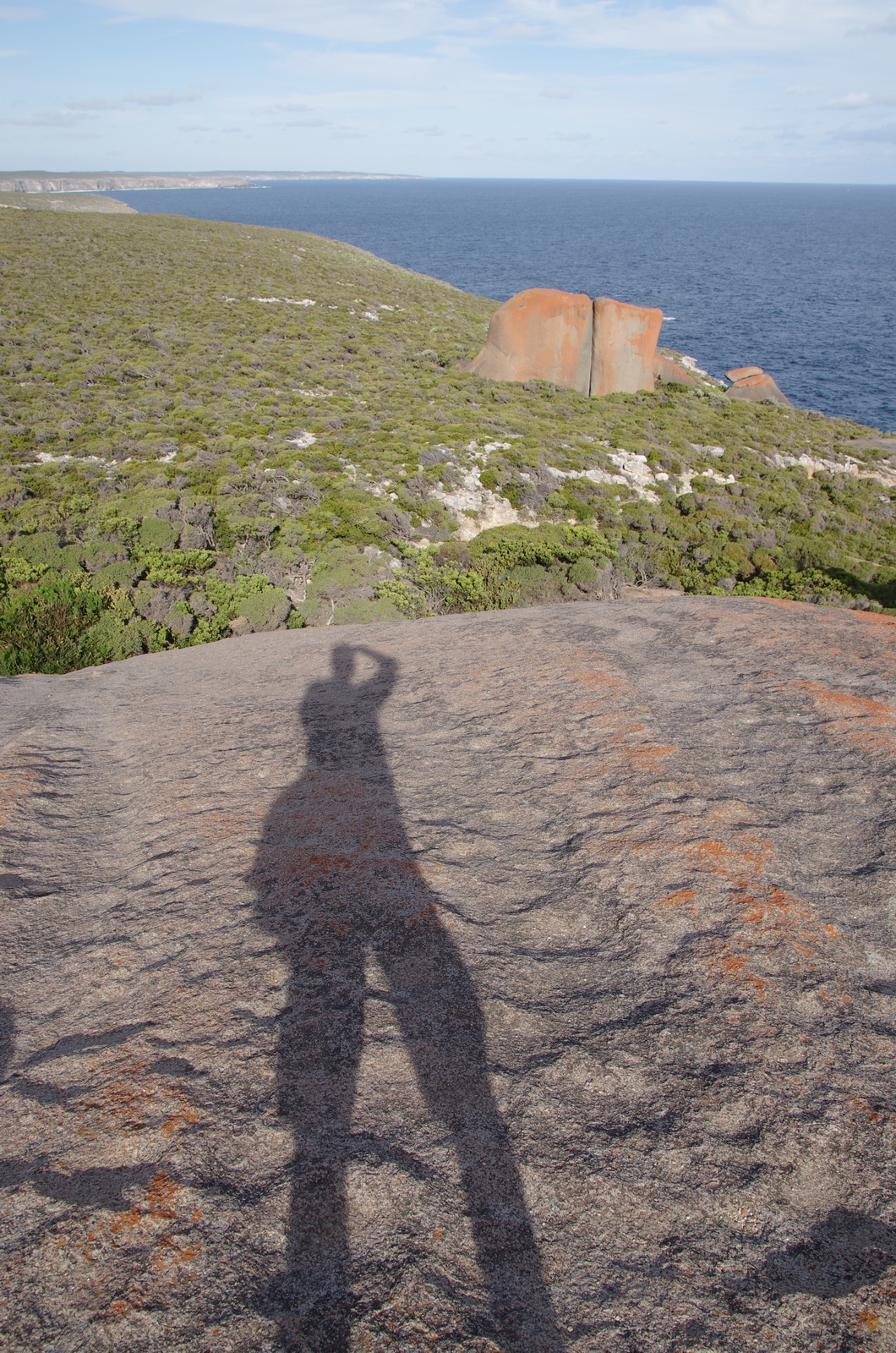
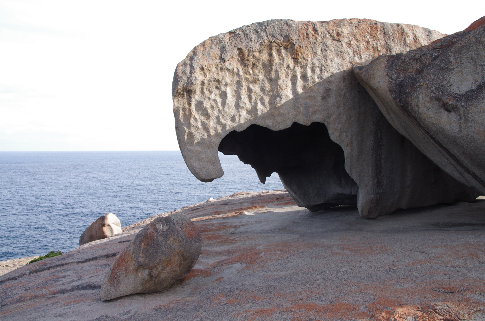
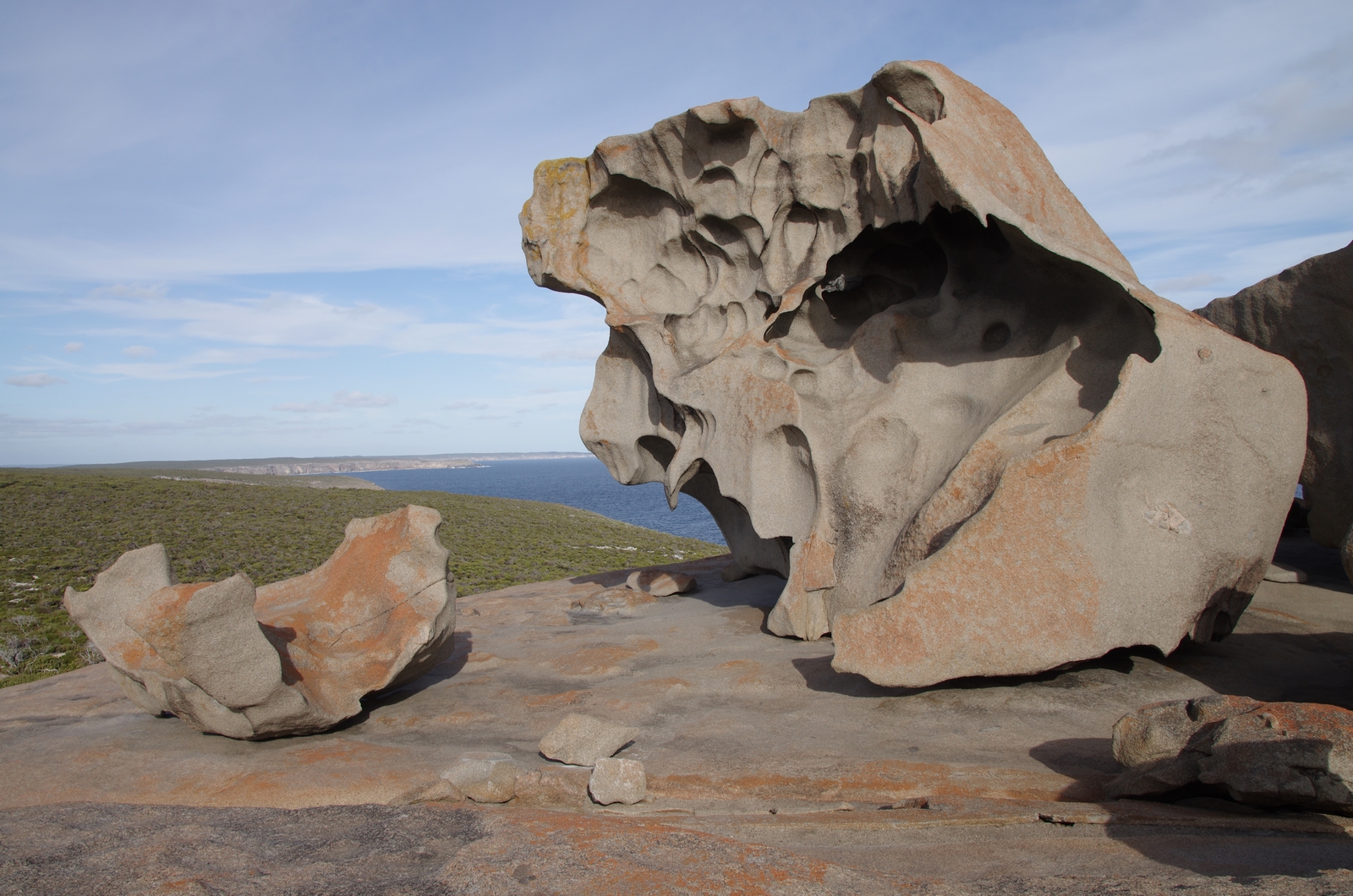
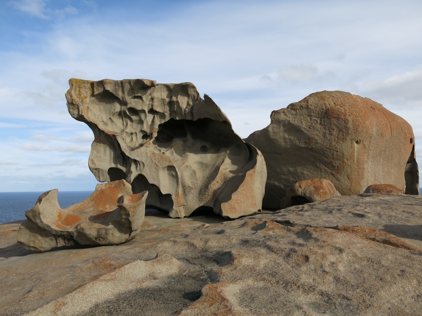
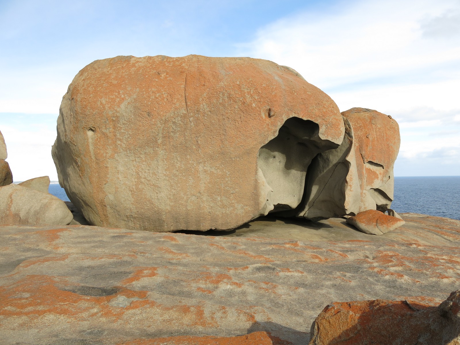
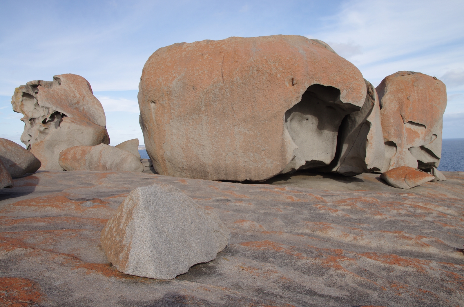
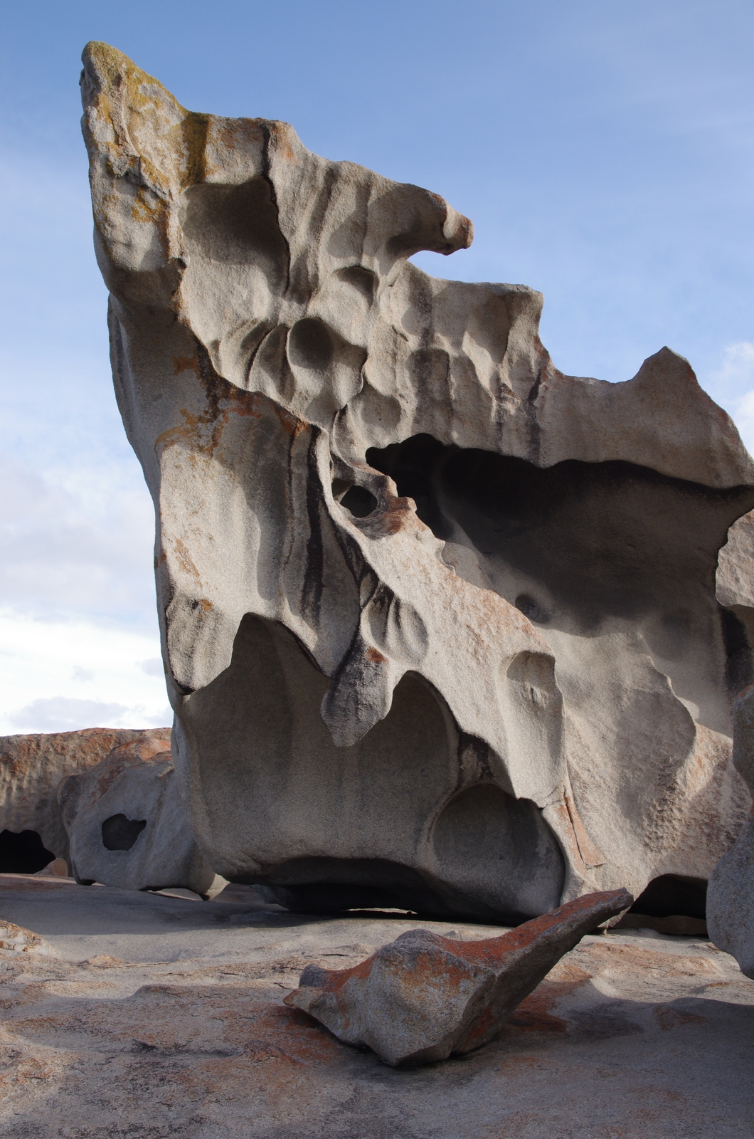
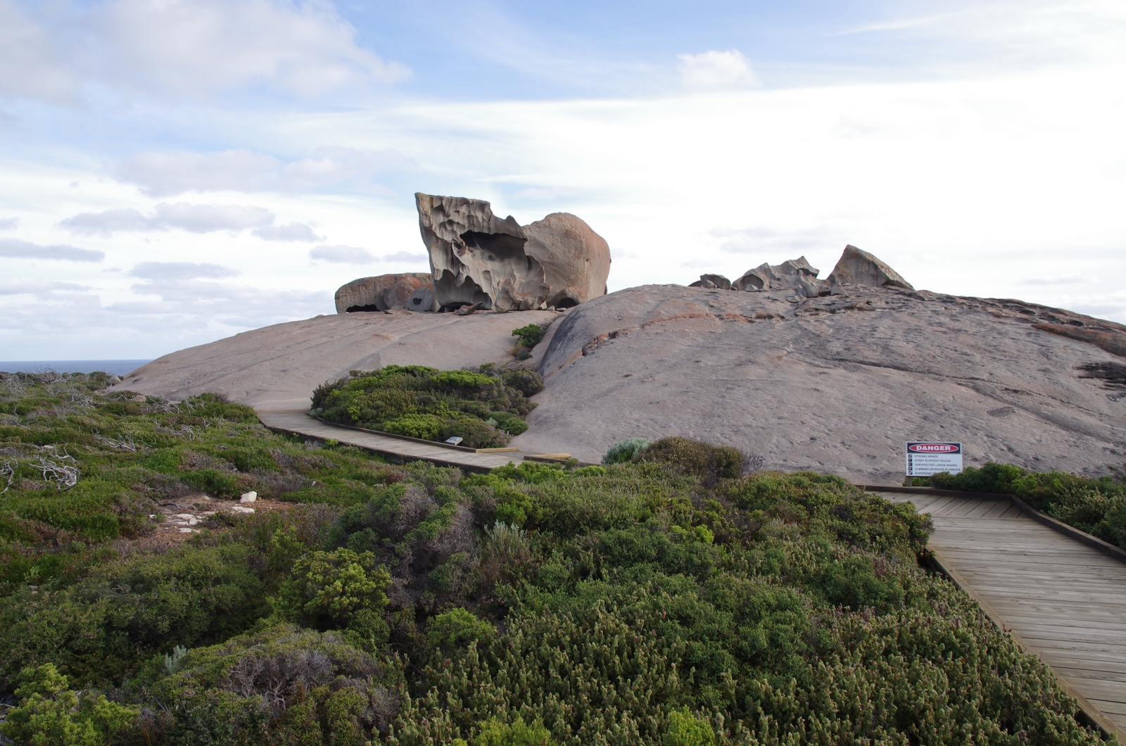
Map of the route “Day 33 – 11/25/2014: Kangaroo Island”: 219.71 km, 2,577 m of climbing and 2,440 m of descent, elevation between -59 m and 162 m, time 08:56:32. It starts at -35.72019, 137.94028 and ends at -35.96040, 136.80962 (latitude, longitude).