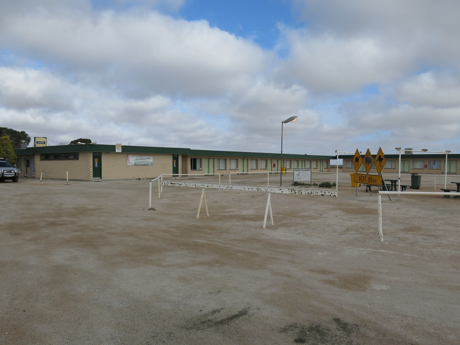
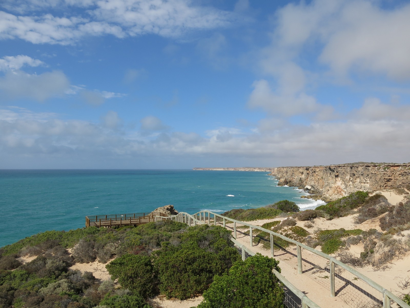
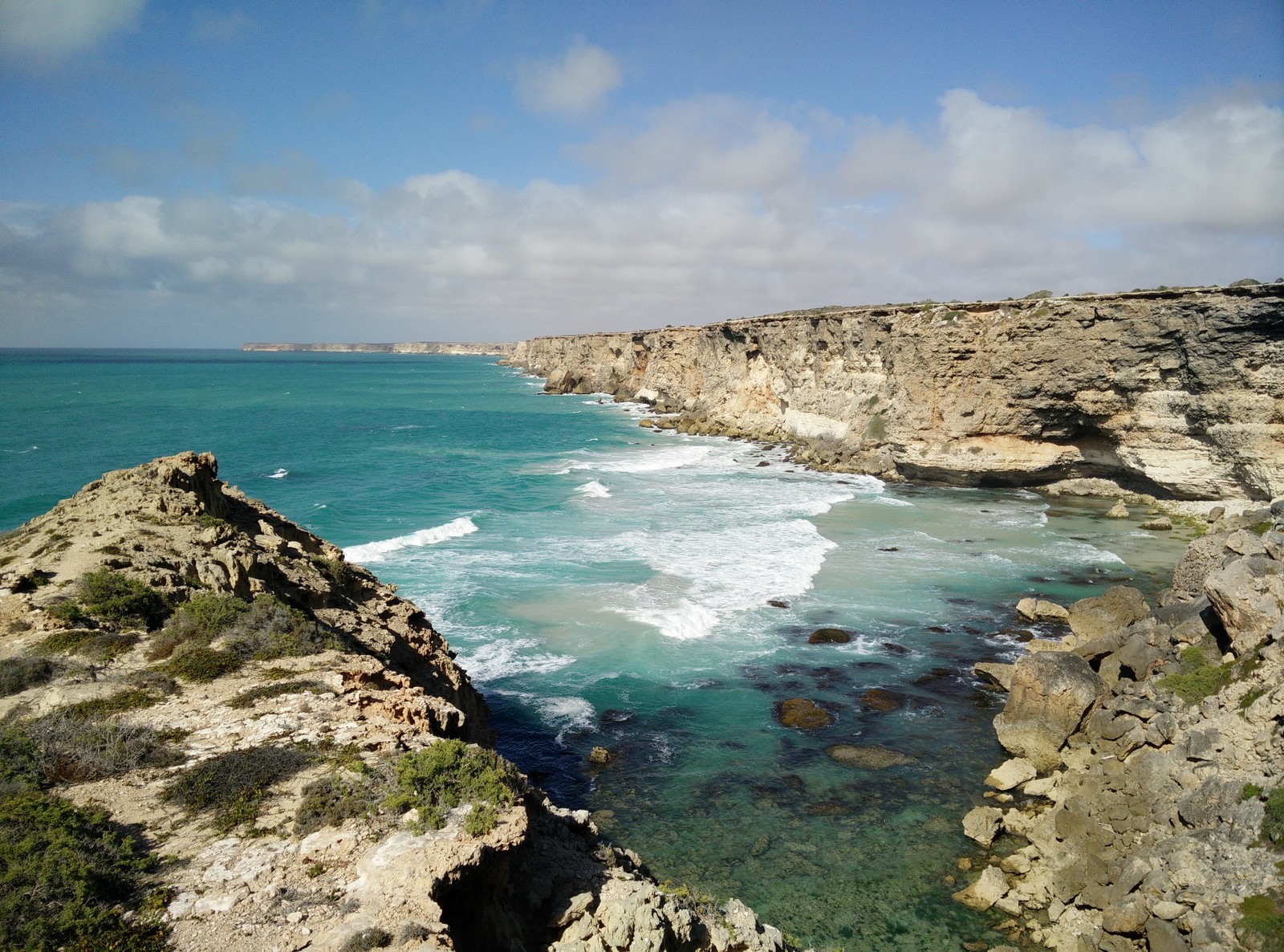
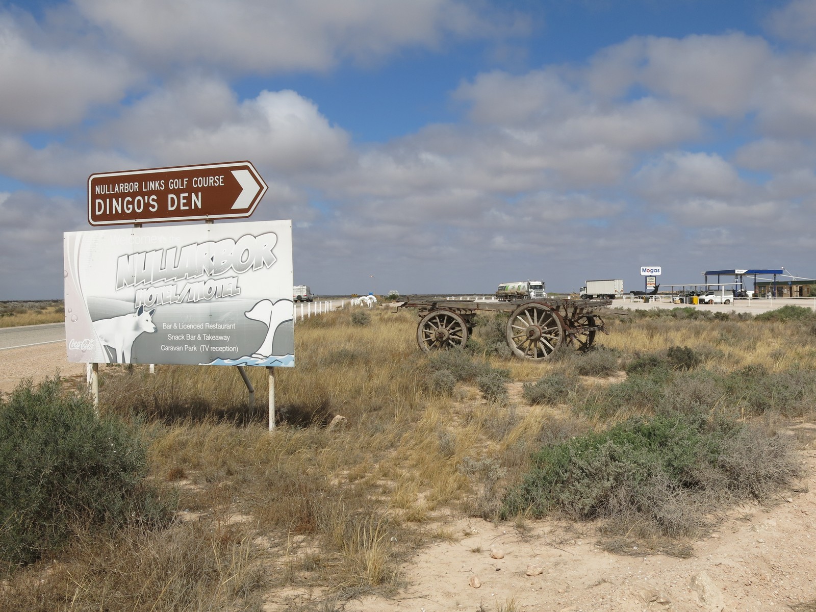
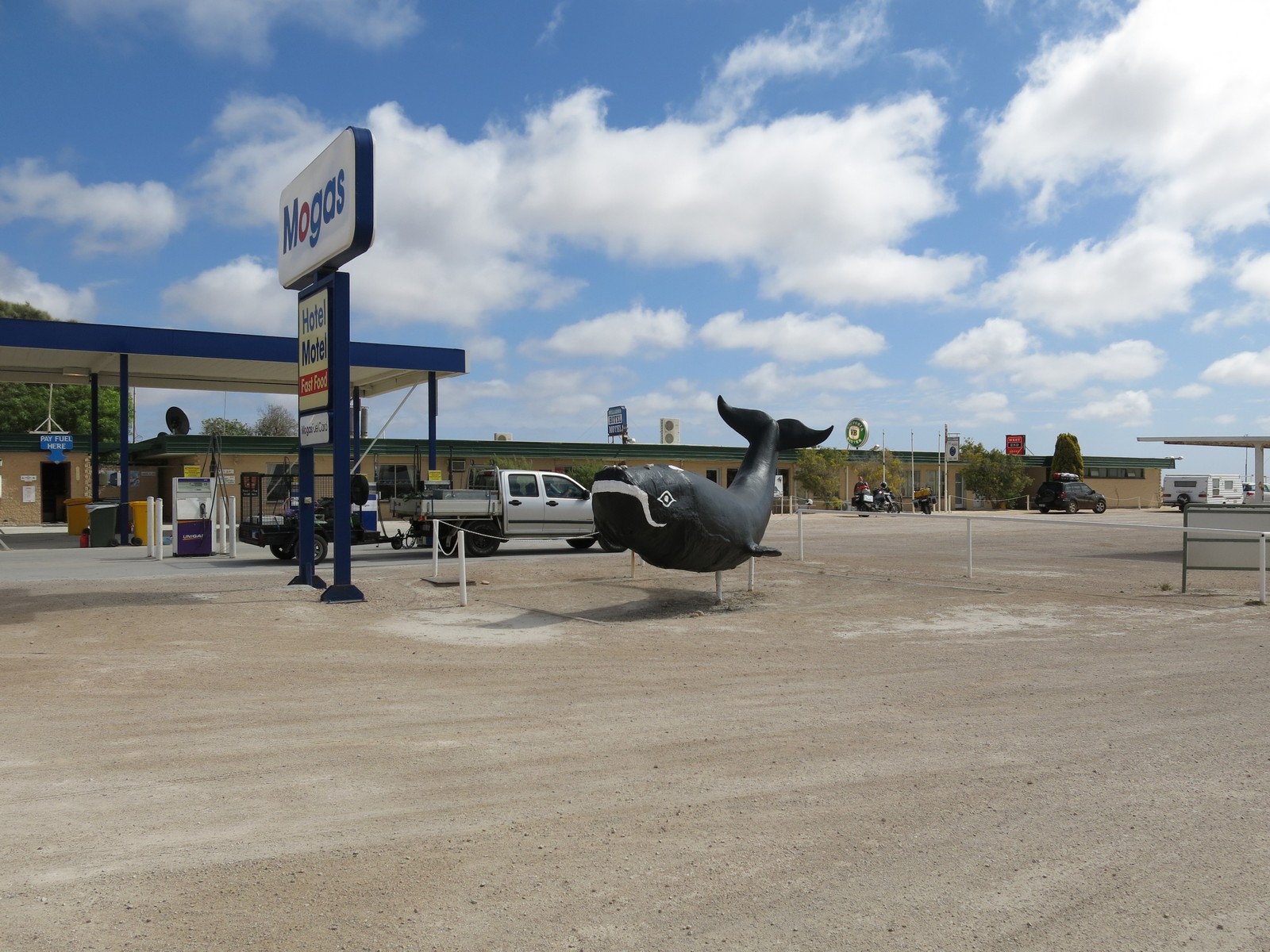
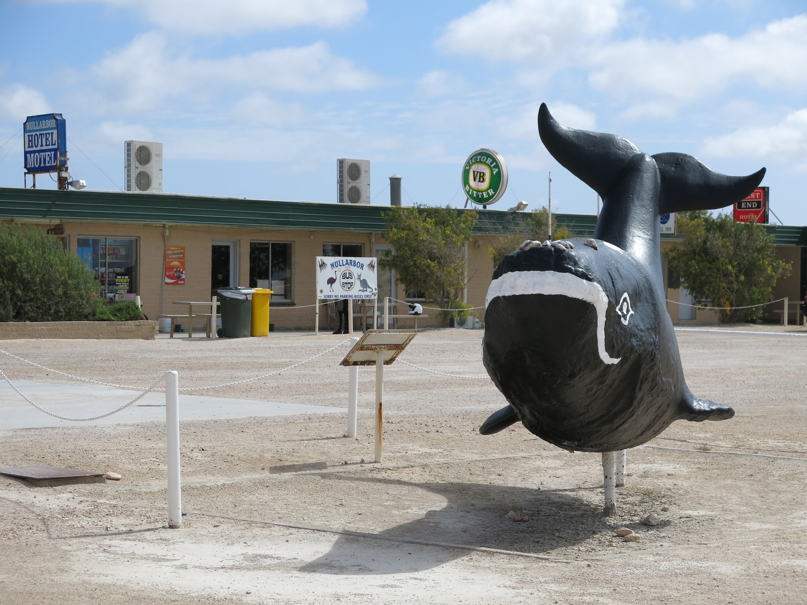
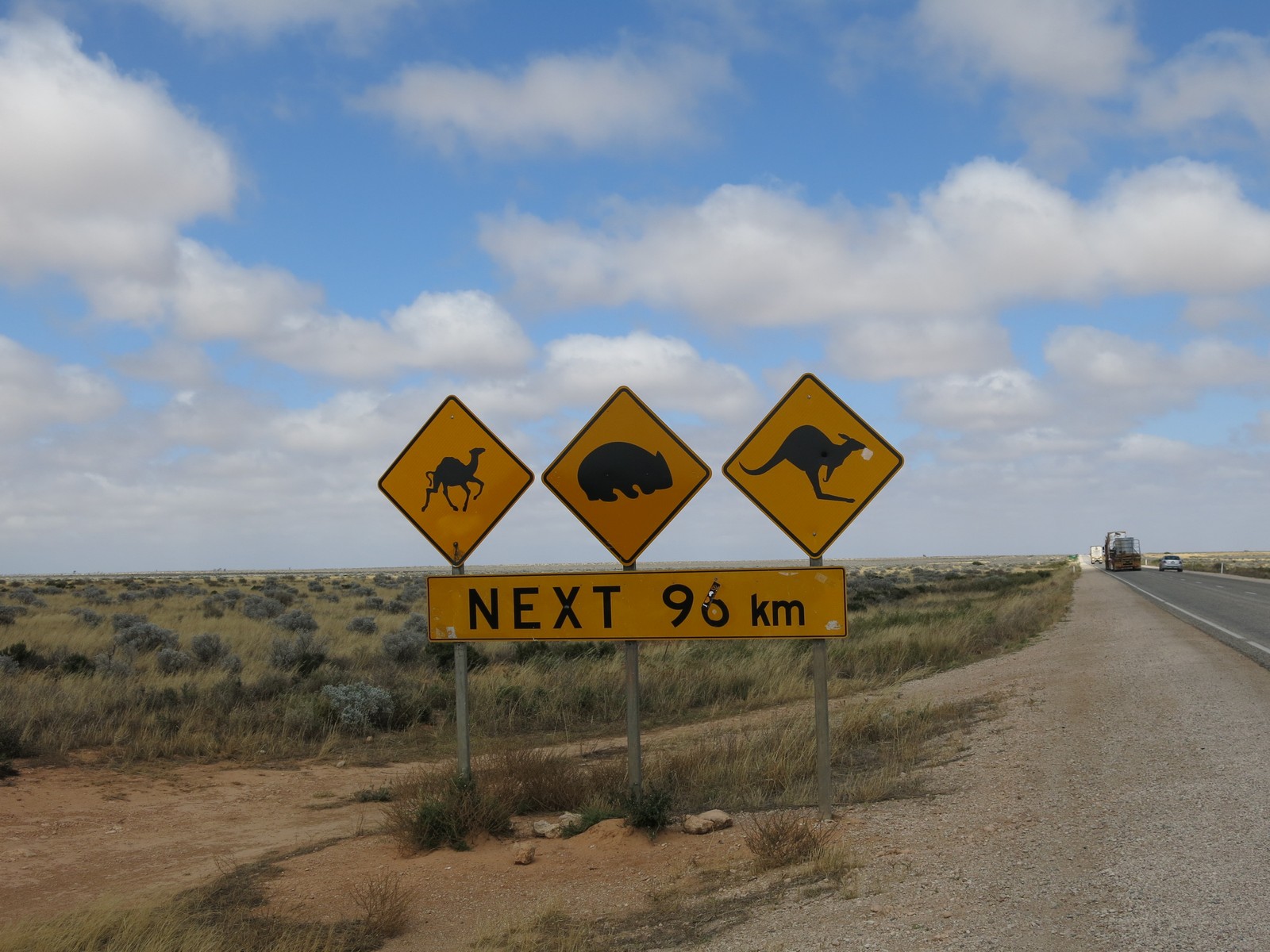
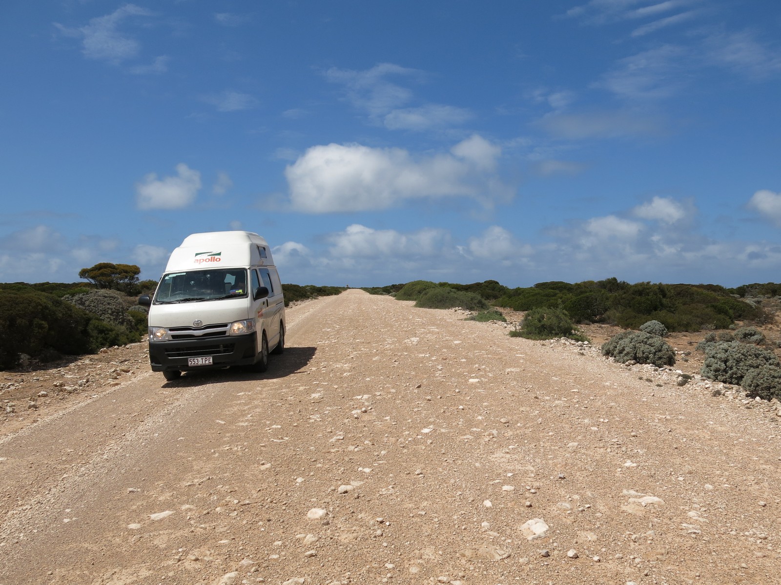
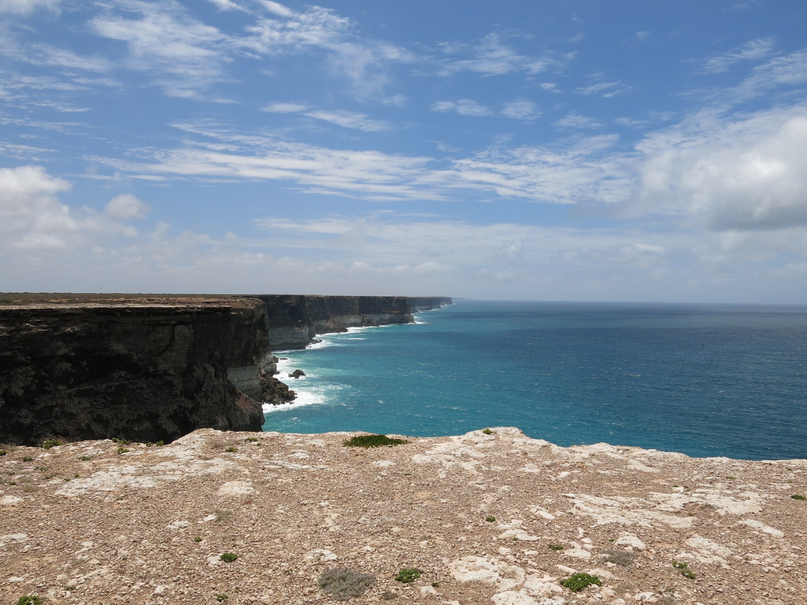
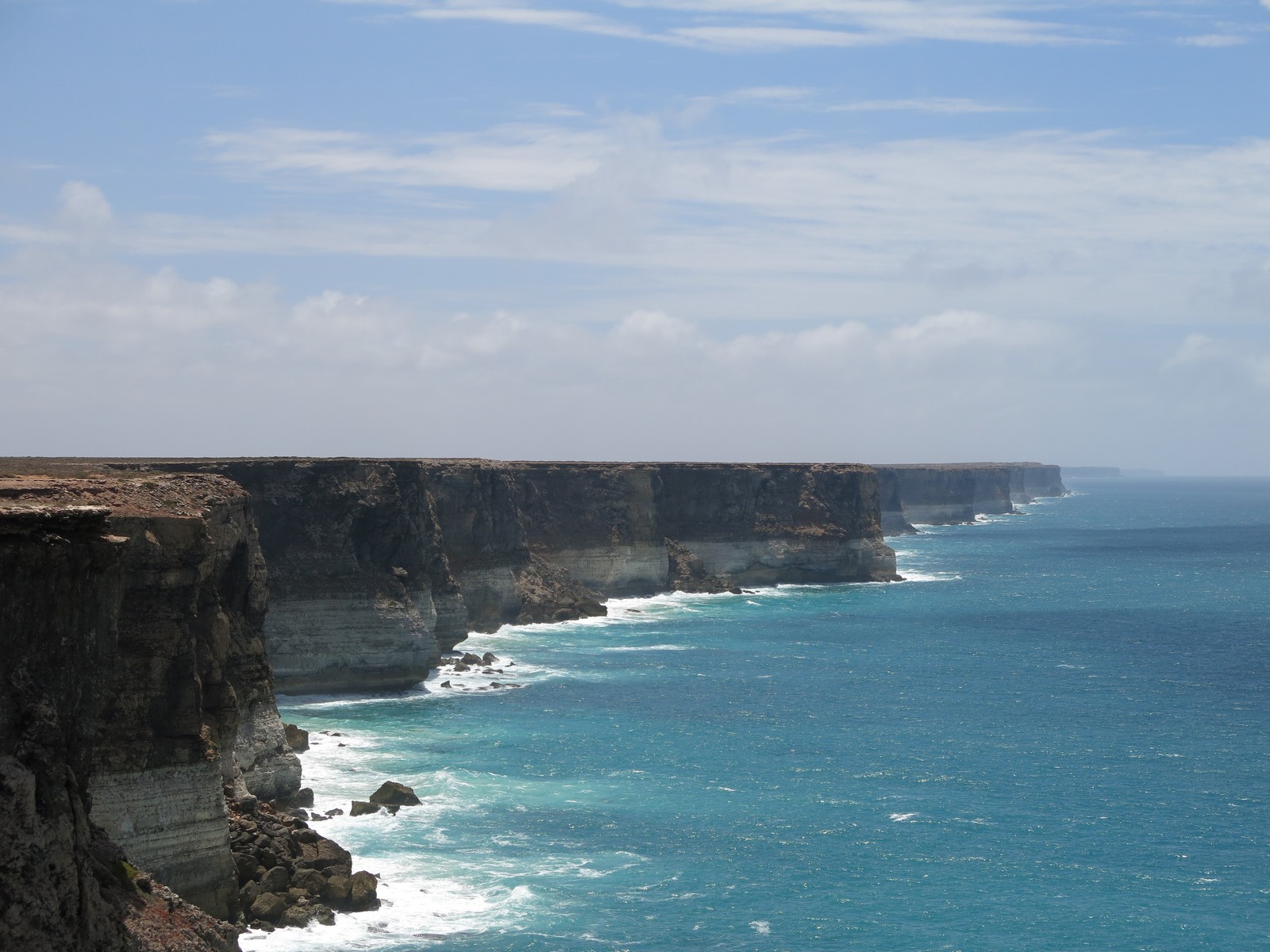
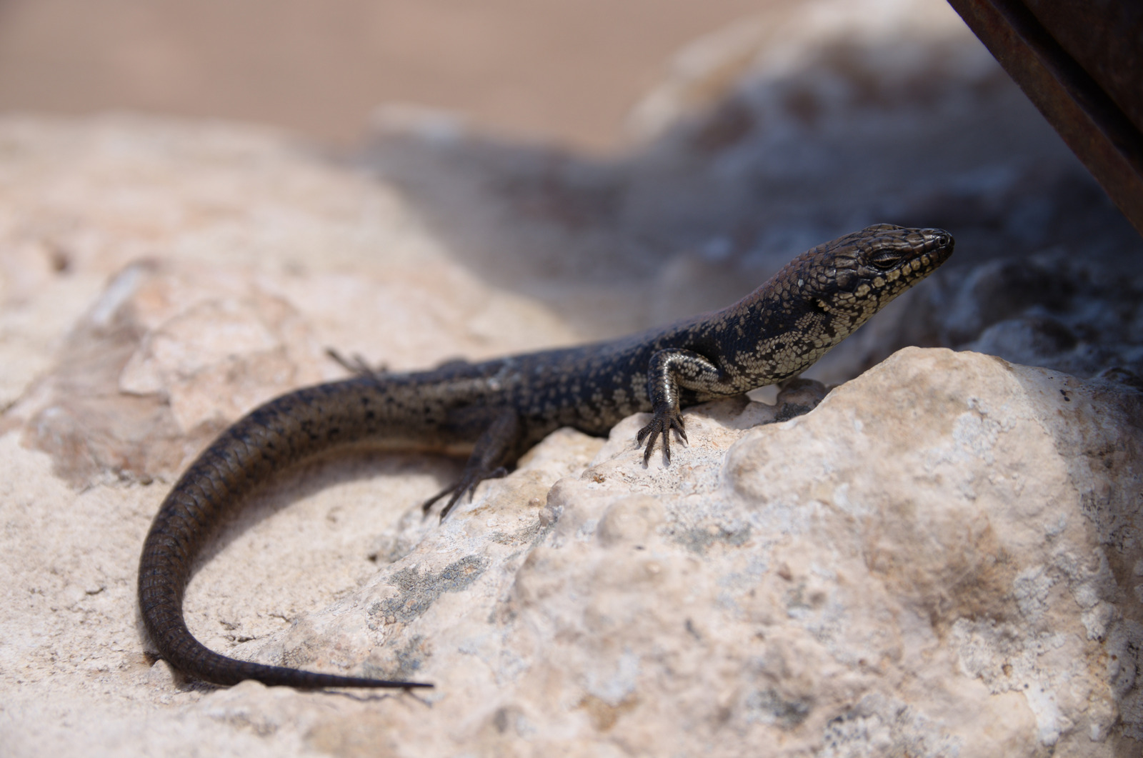
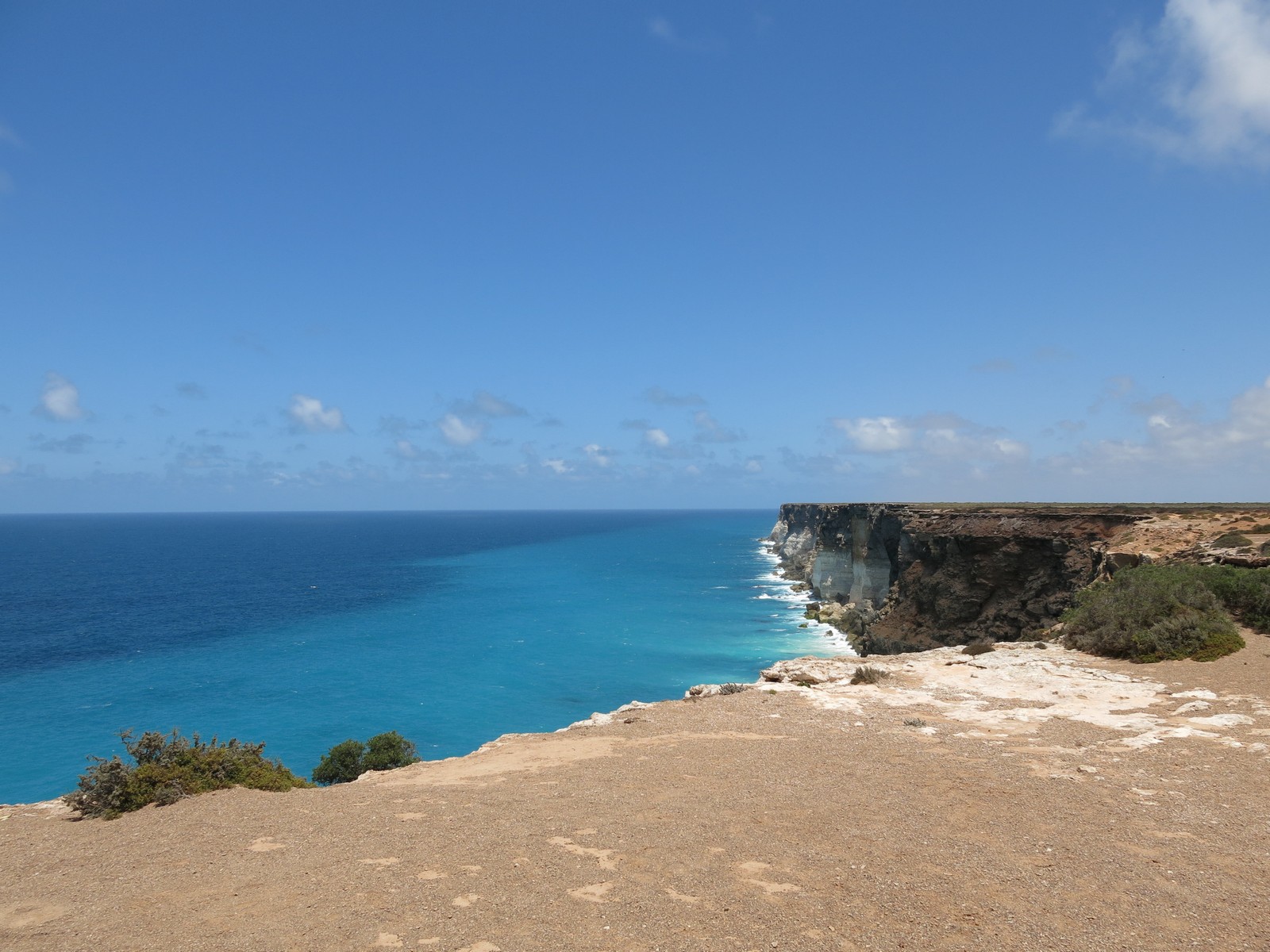
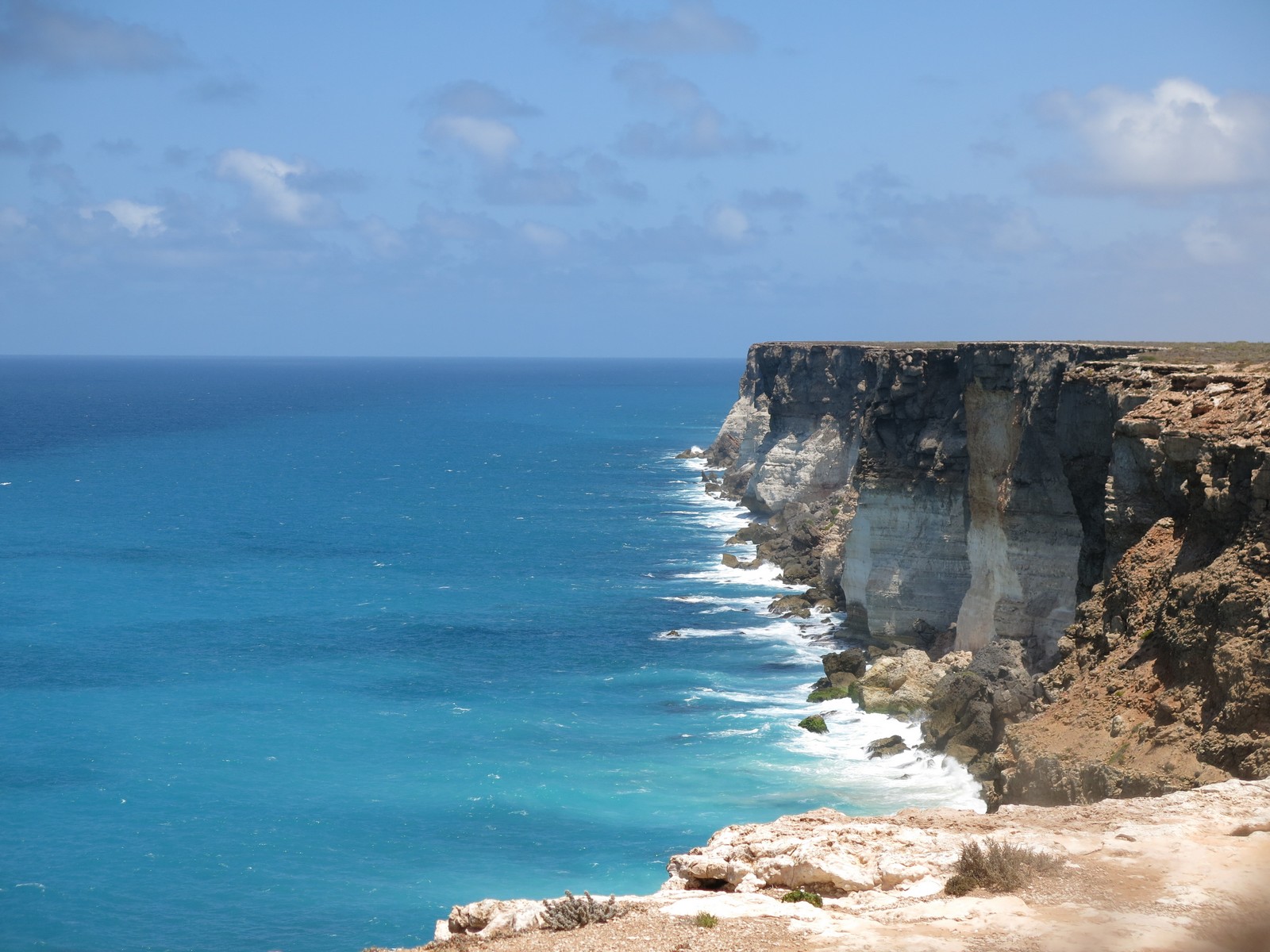
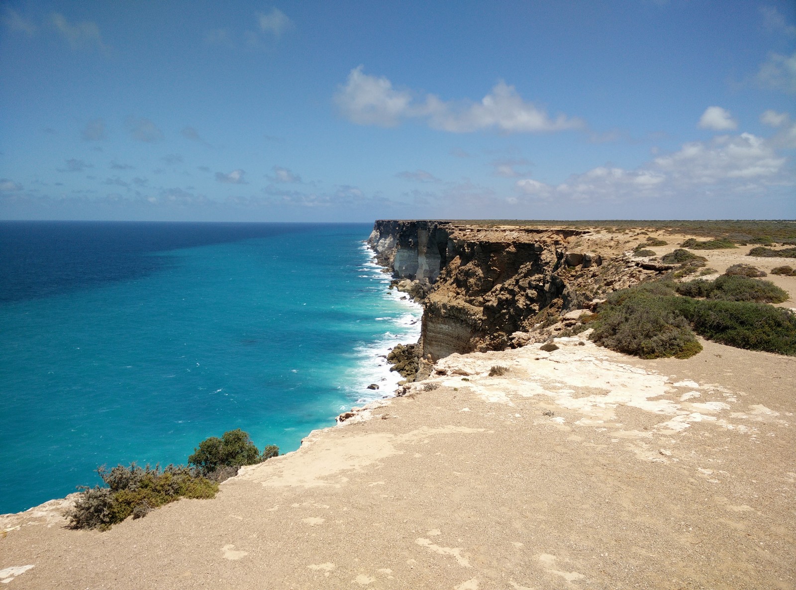
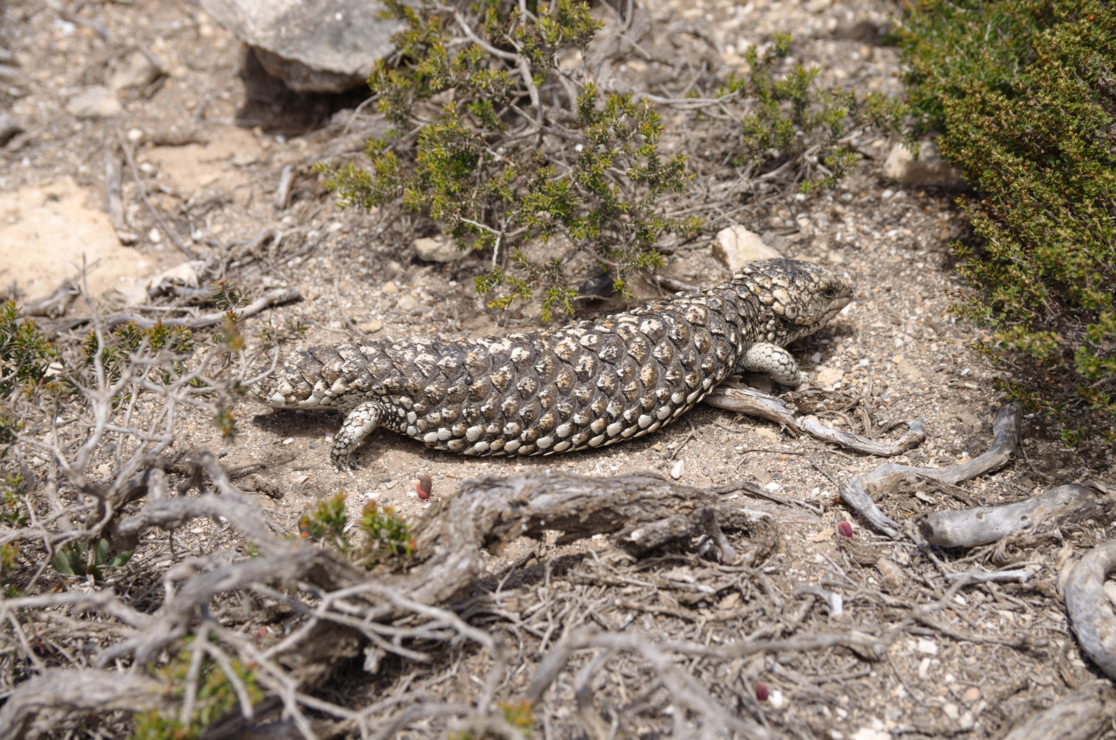
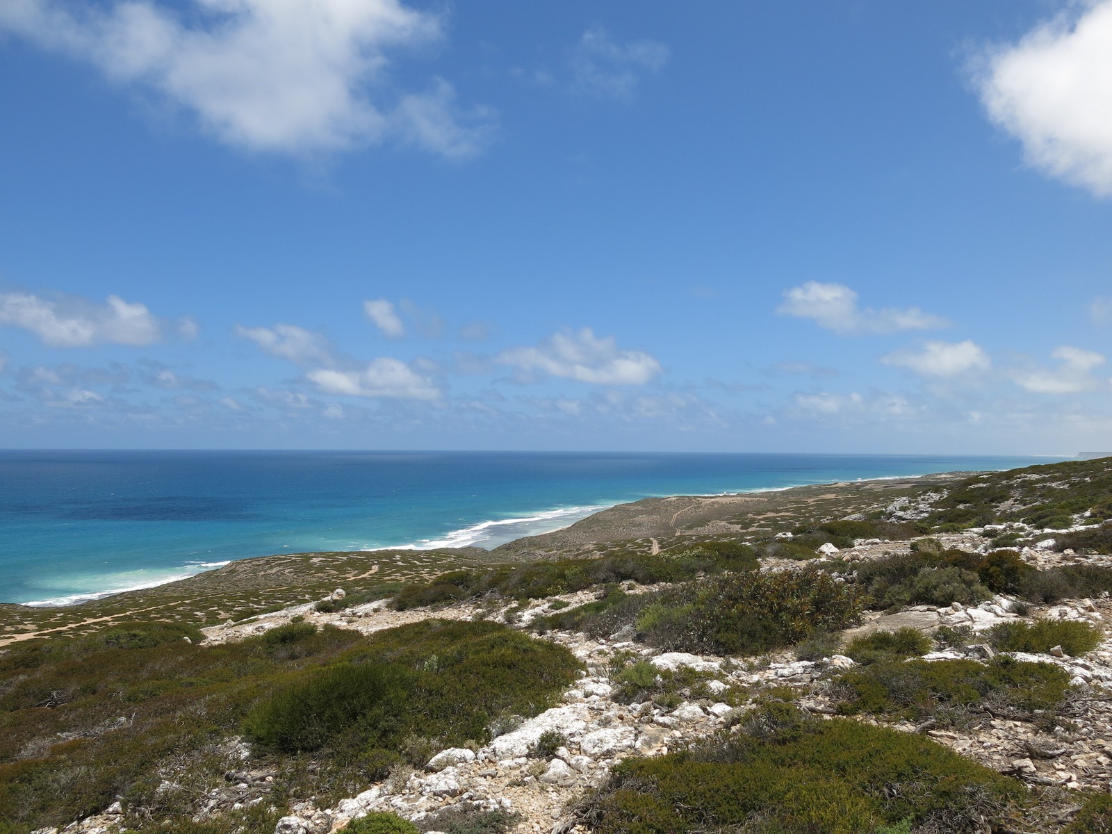
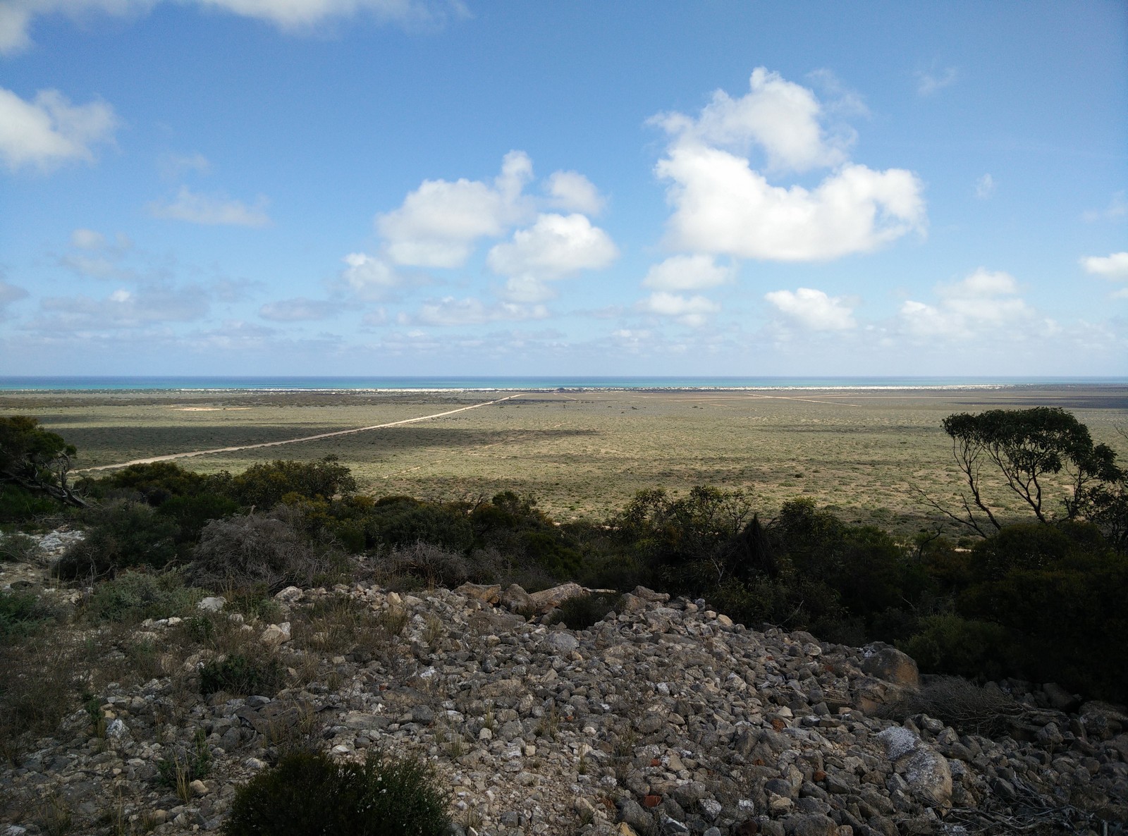
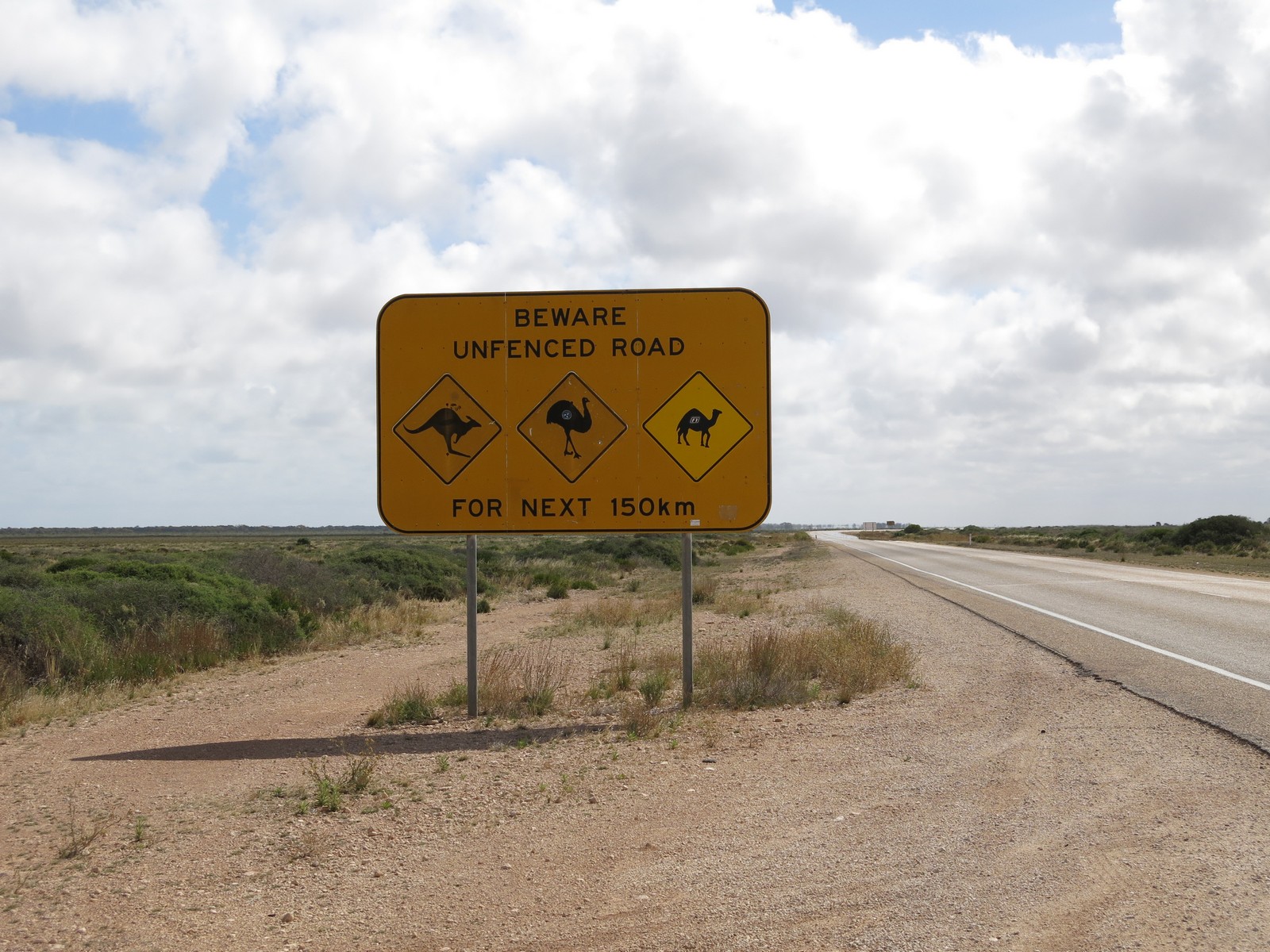
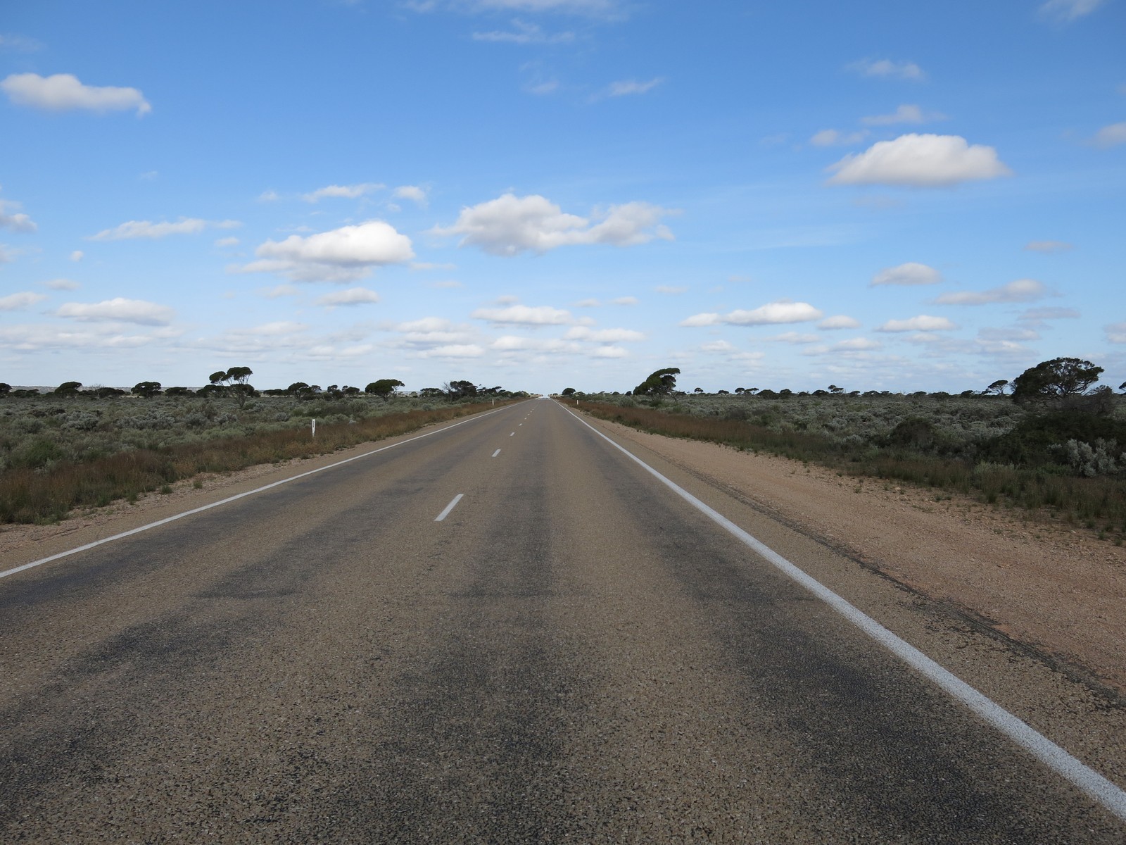
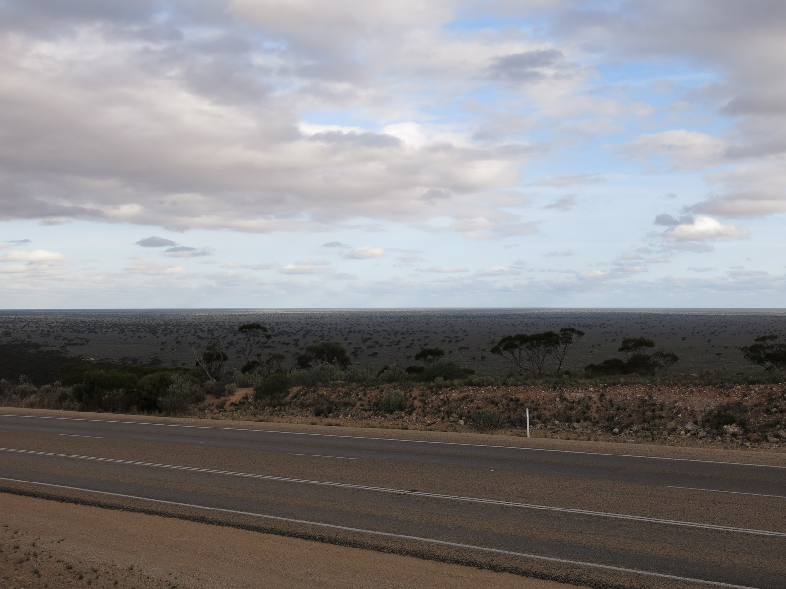
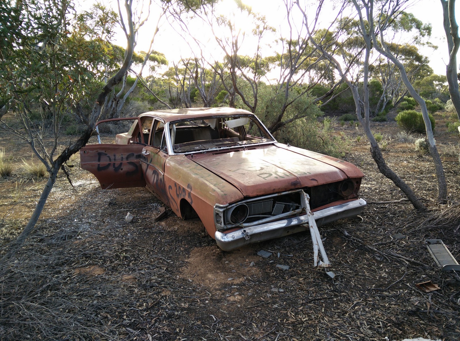
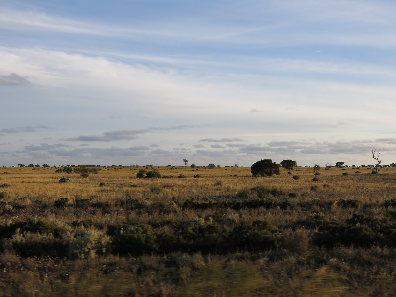
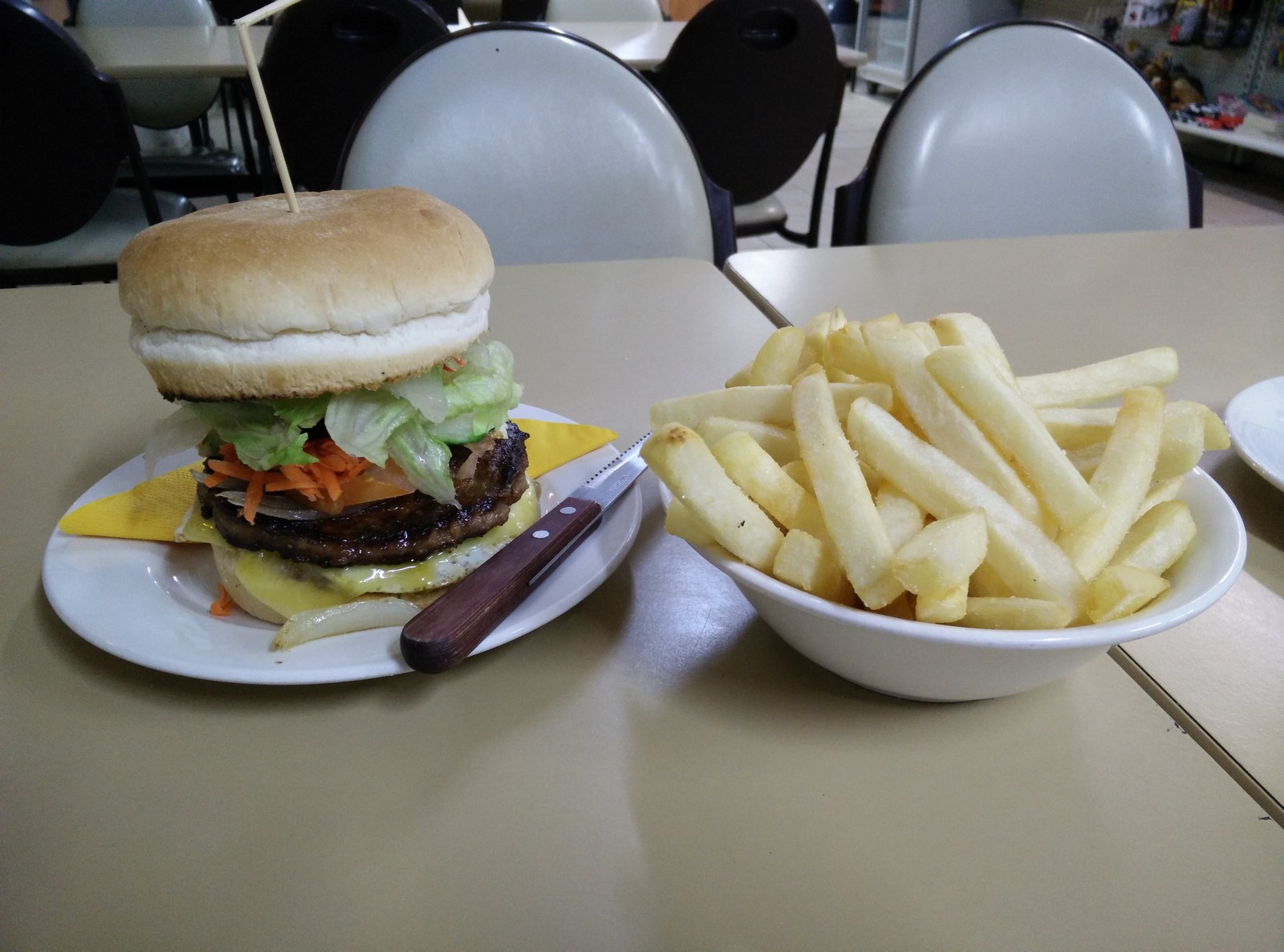
Map of the route “Day 45 – 12/07/2014: Nullarbor Roadhouse – Caiguna Roadhouse”: 623.87 km, 2,206 m of climbing and 2,176 m of descent, elevation between 2 m and 132 m, time 19:12:20. It starts at -31.44954, 130.89721 and ends at -32.27151, 125.48685 (latitude, longitude).