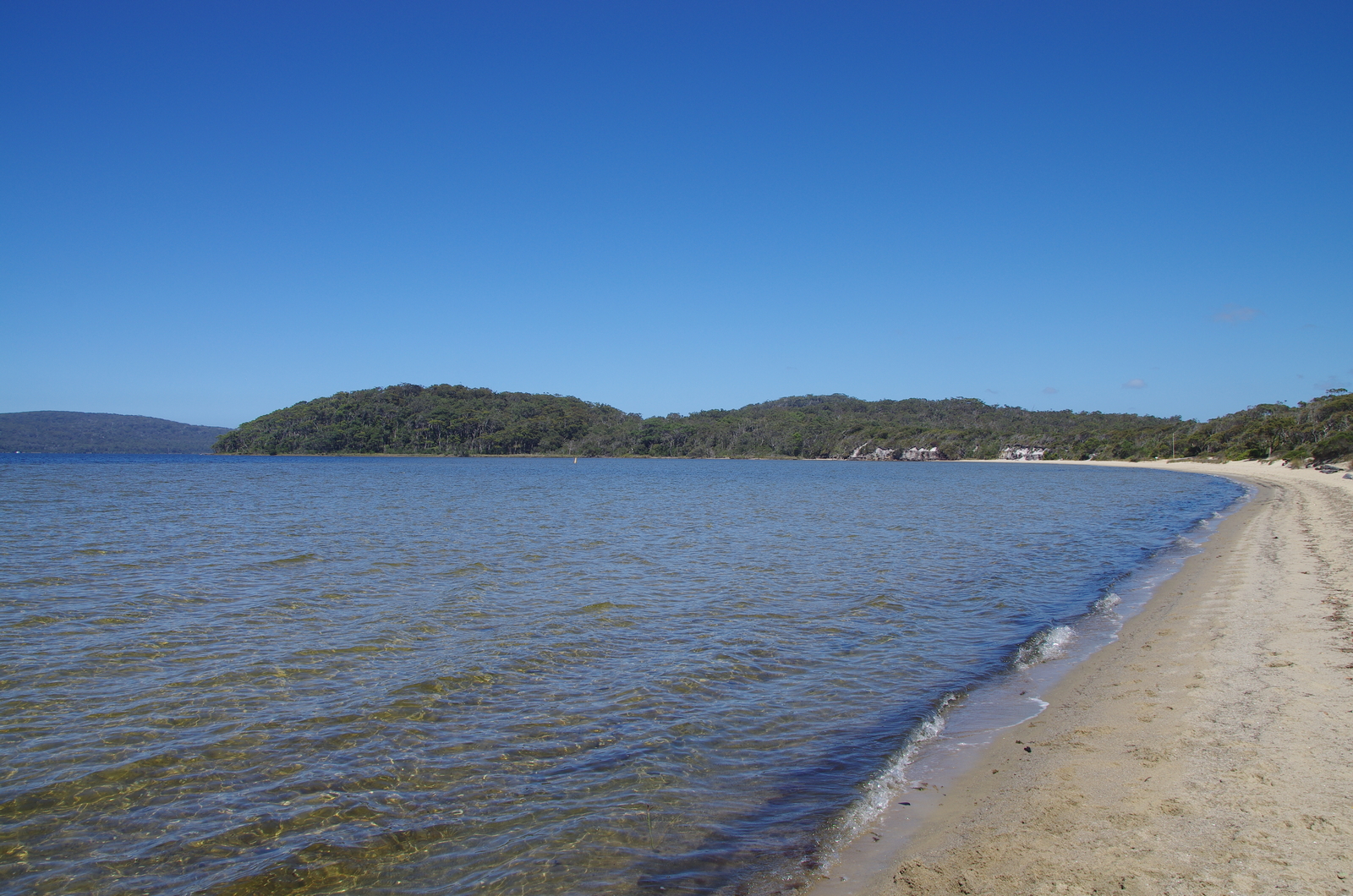
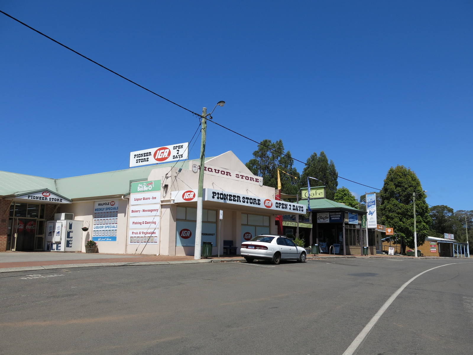
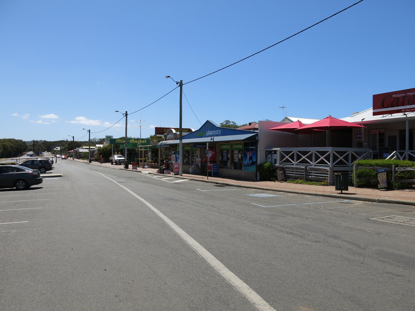
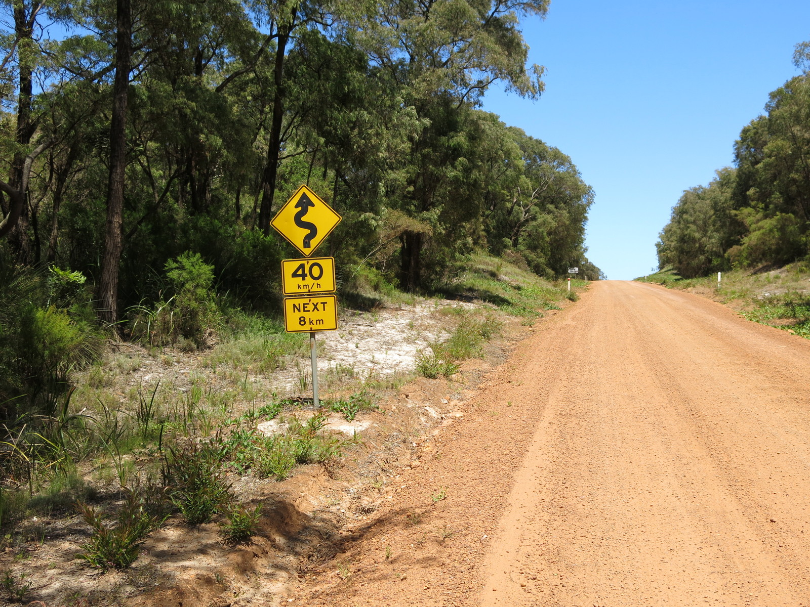
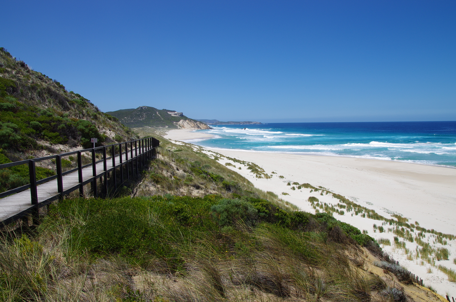
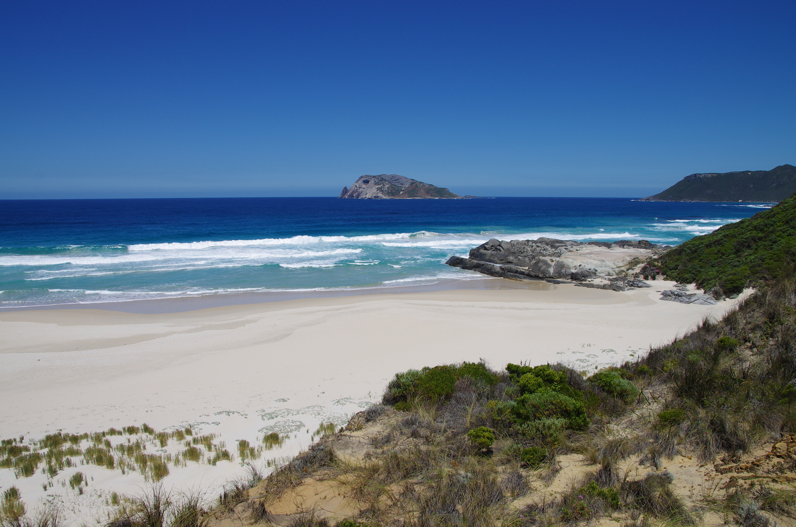
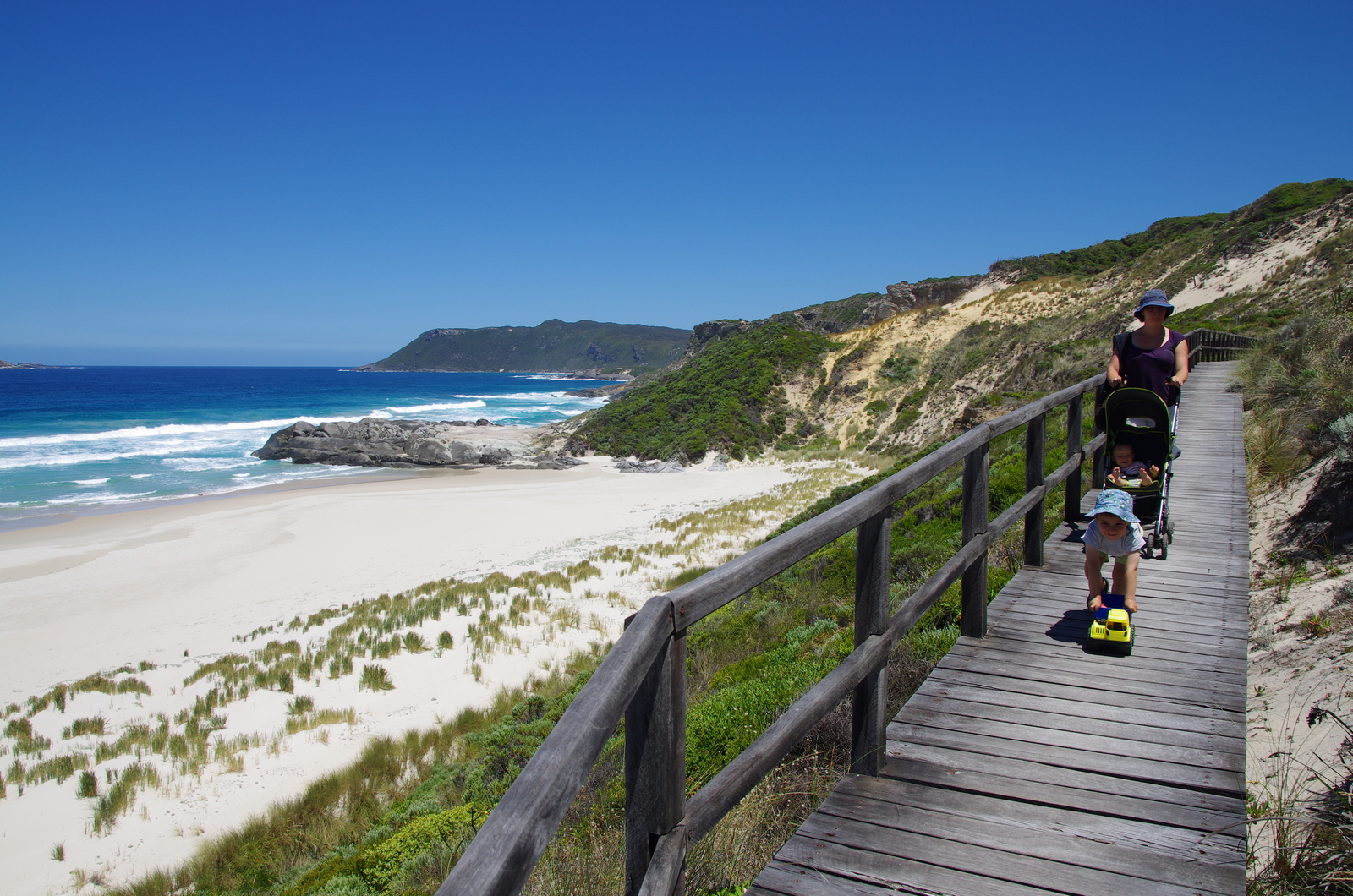
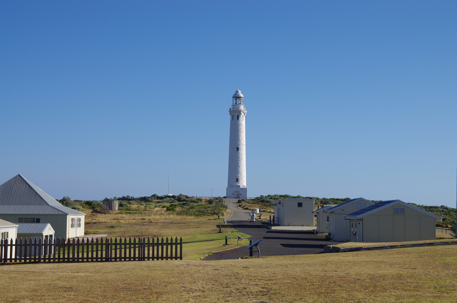
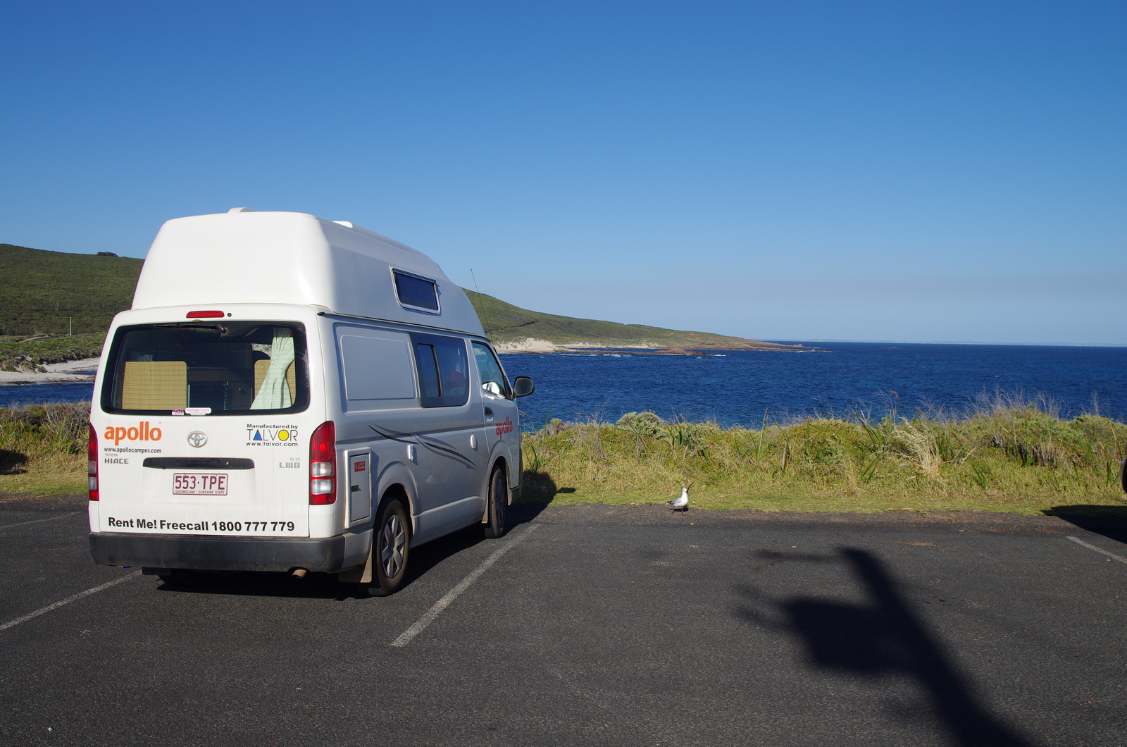
Map of the route “Day 56 – 12/18/2014: Walpole – D’Entrecasteaux NP – Pemberton – Cape Leeuwin – Augusta – Hamelin Bay”: 334.96 km, 4,300 m of climbing and 4,278 m of descent, elevation between -24 m and 248 m, time 08:42:58. It starts at -34.98921, 116.73964 and ends at -34.22286, 115.04151 (latitude, longitude).