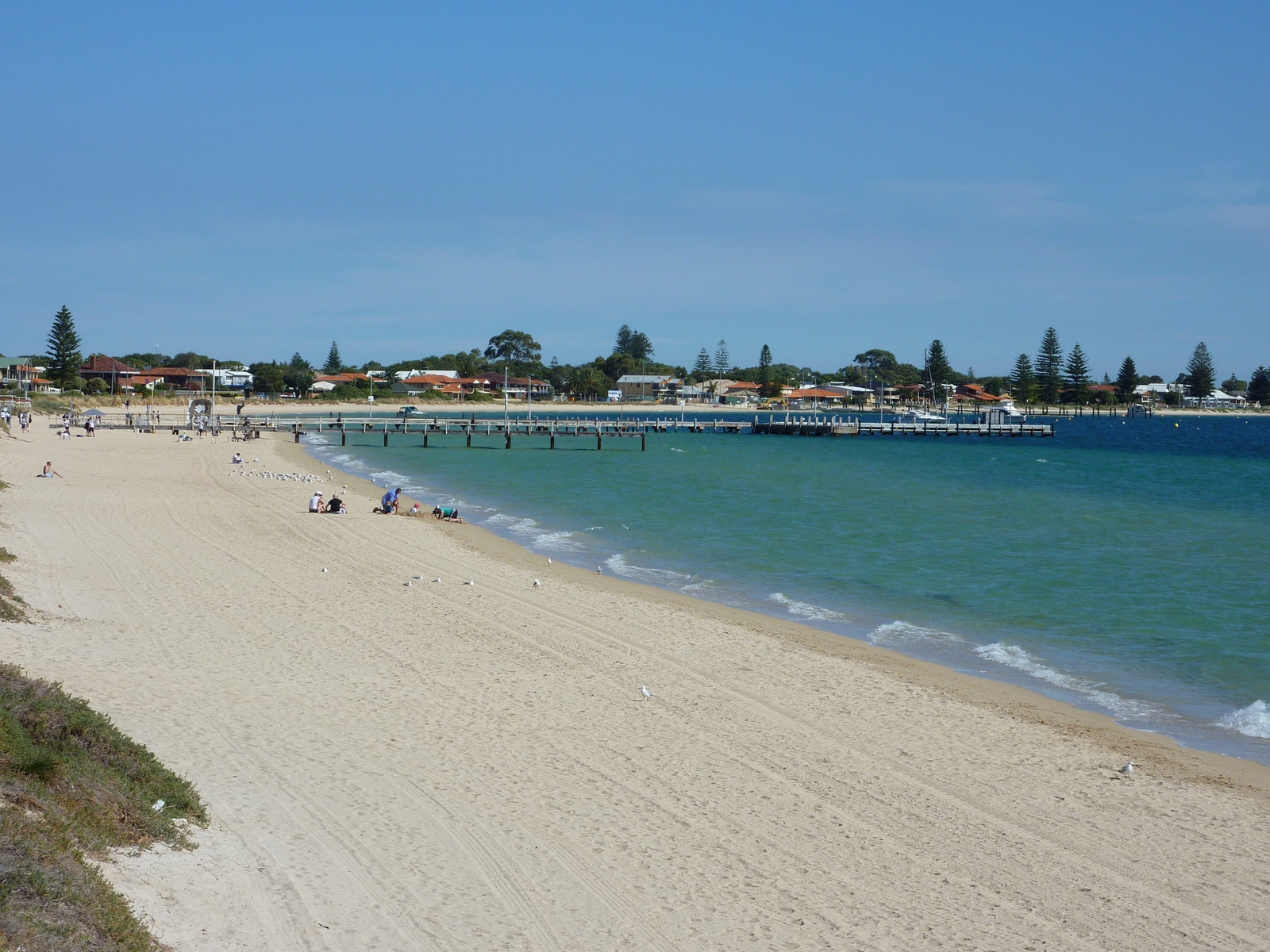
Map of the route “Tag 20 – 06.05.2009: Perth – Fremantle – Rockingham – Mandurah – Bunbury”: 251,47 km, 1.956 m of climbing and 2.008 m of descent, elevation between -23 m and 51 m, time 08:30:06. It starts at -31.81410, 115.82213 and ends at -33.32131, 115.64607 (latitude, longitude).