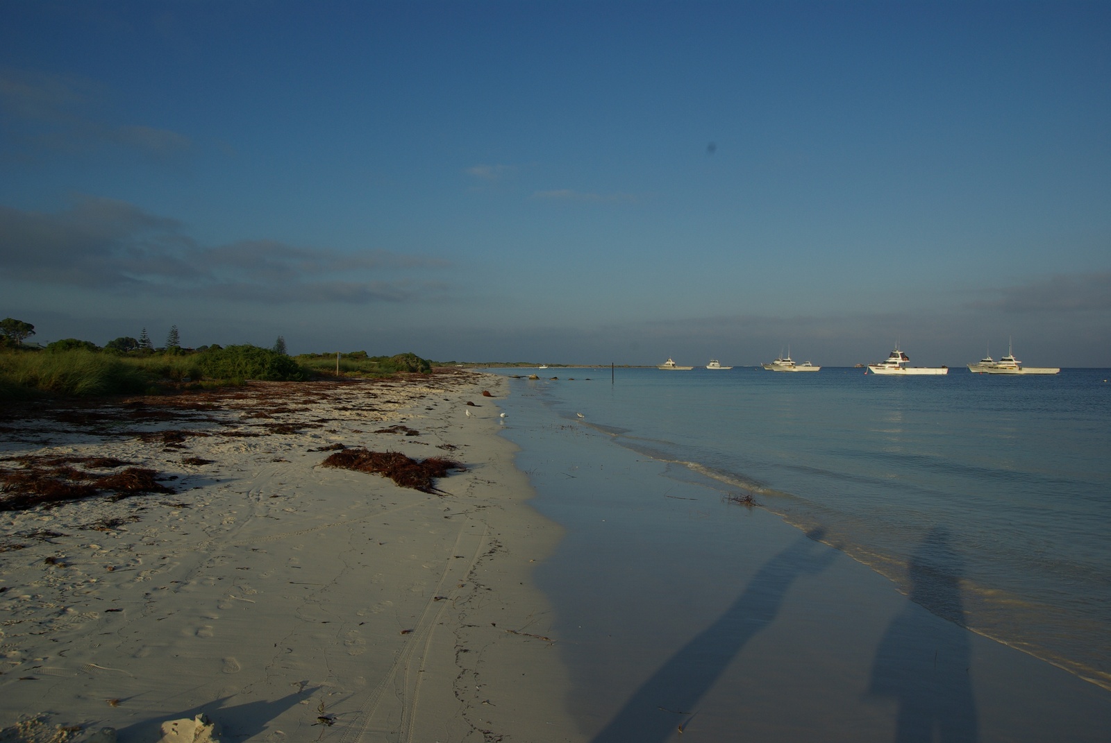
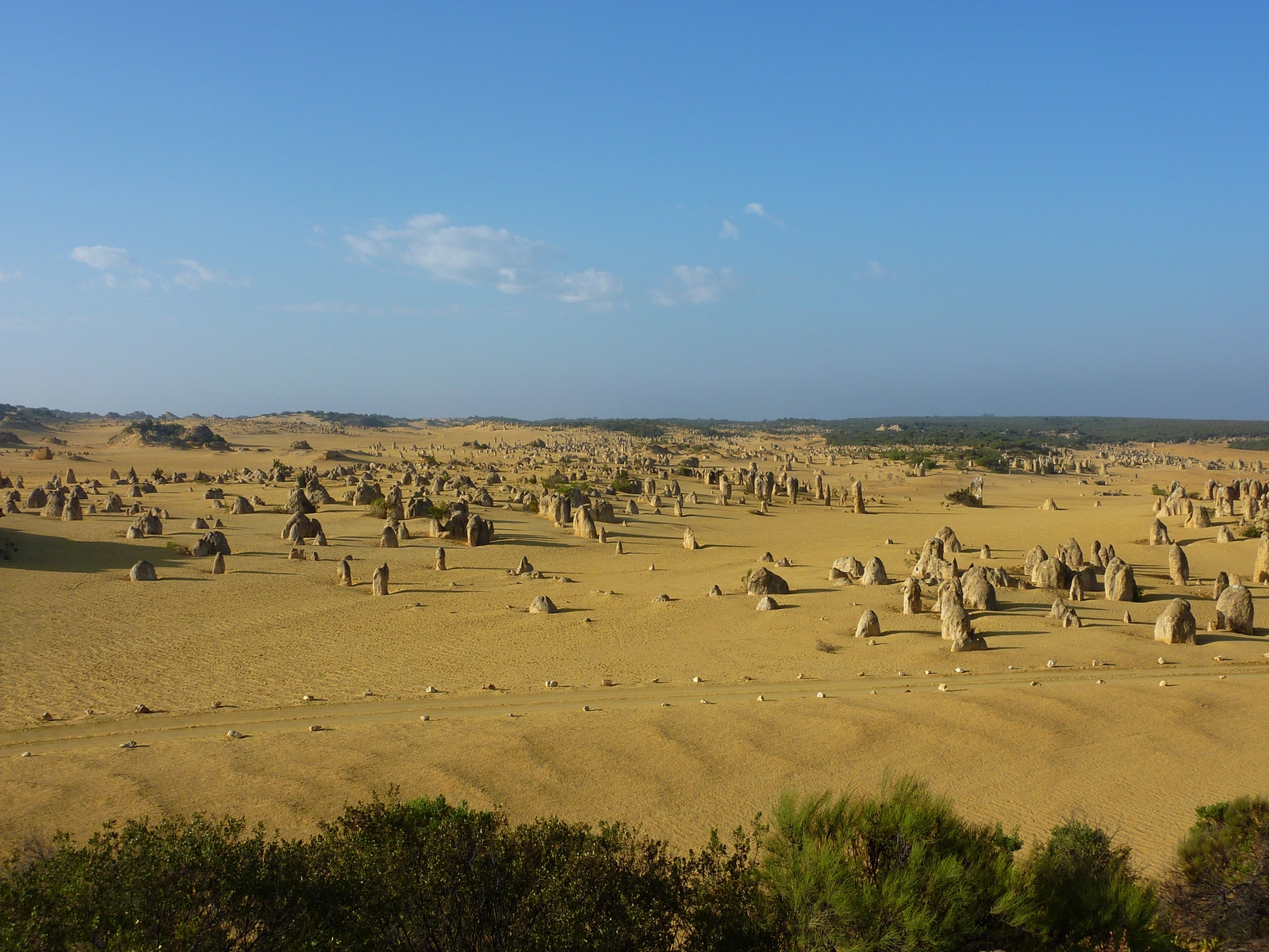
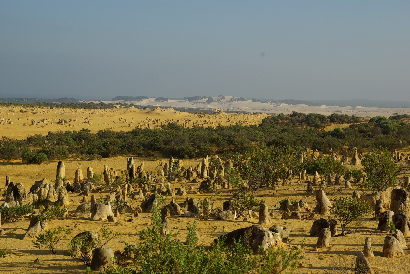
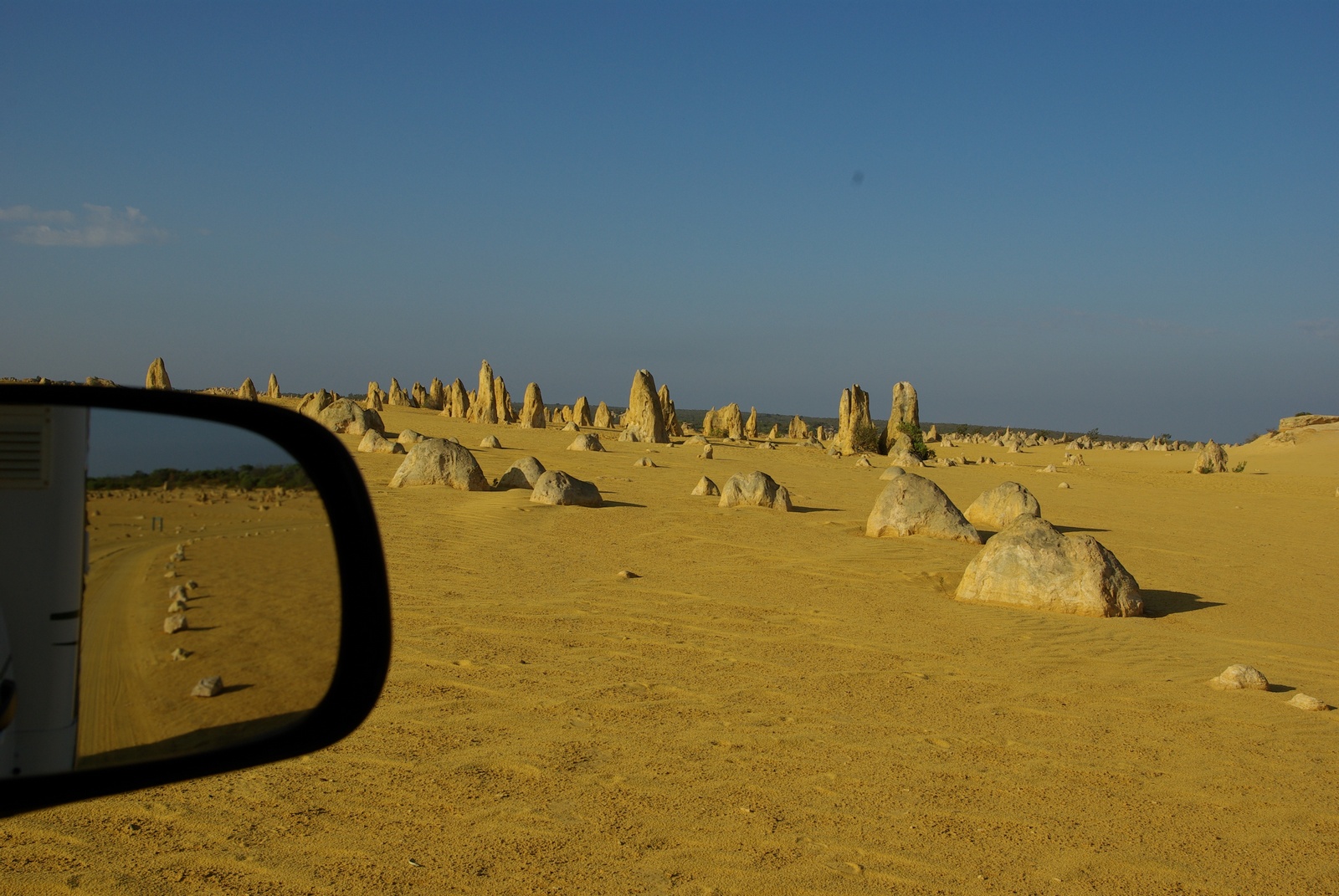
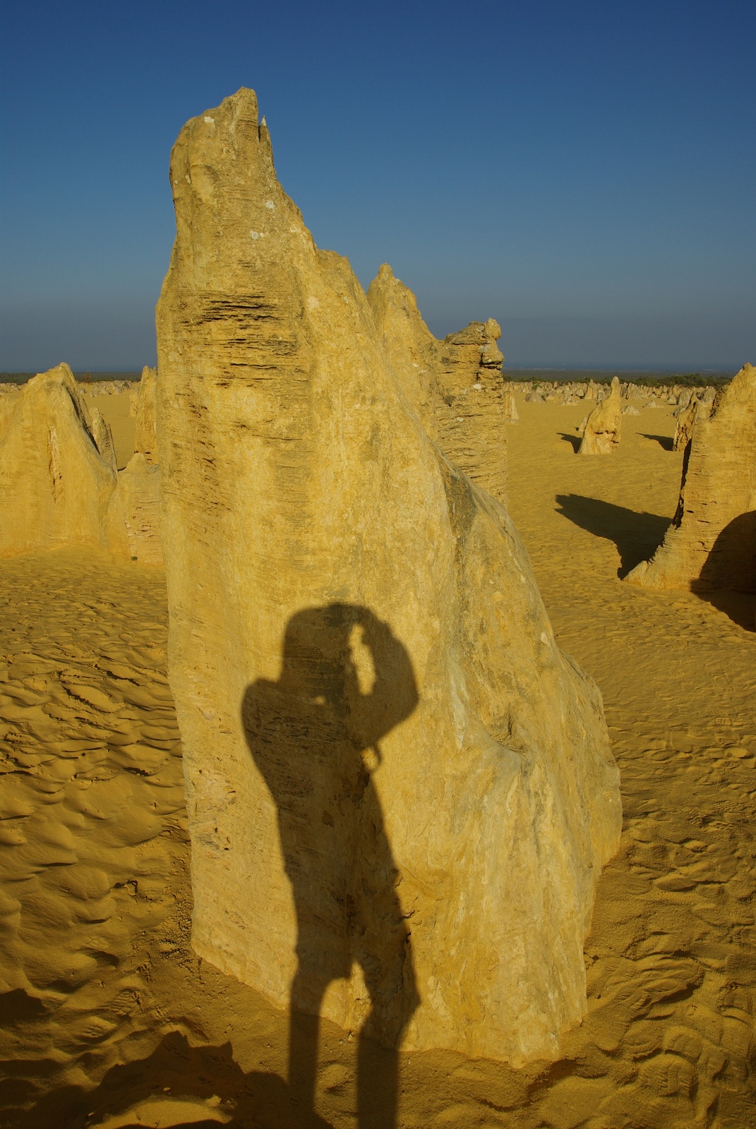
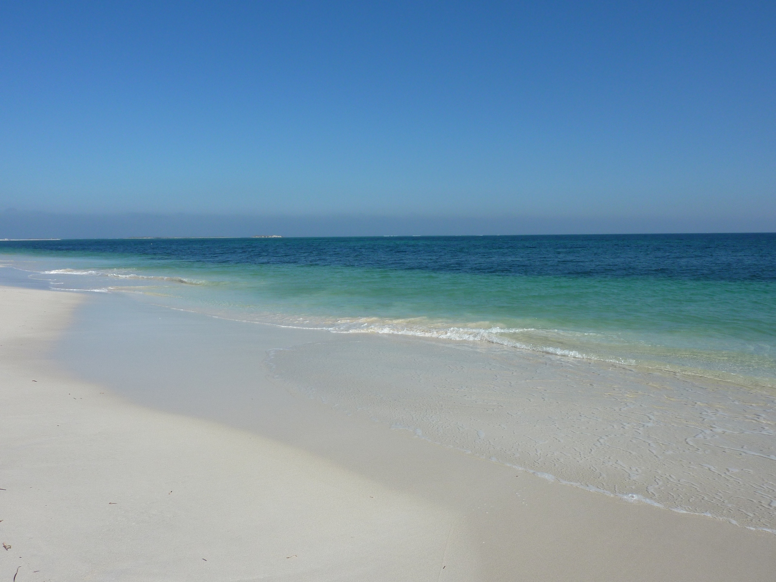
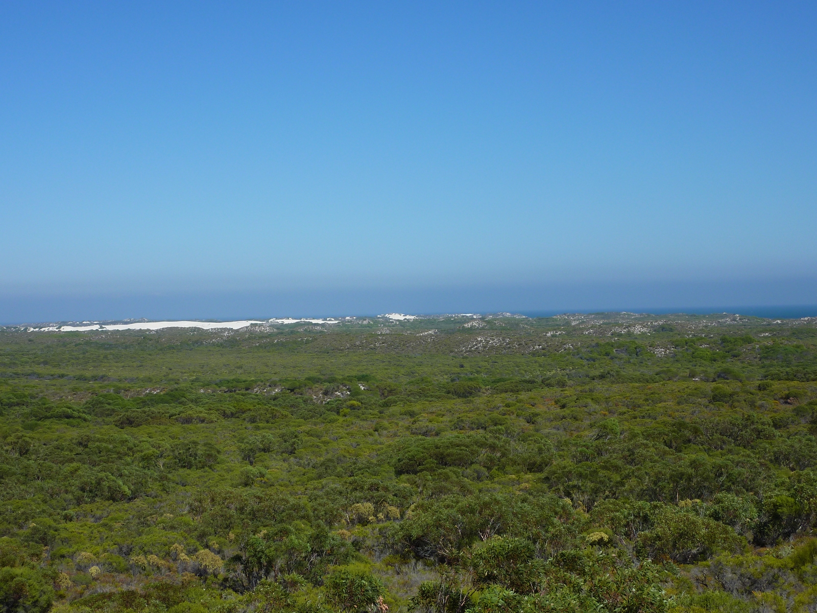
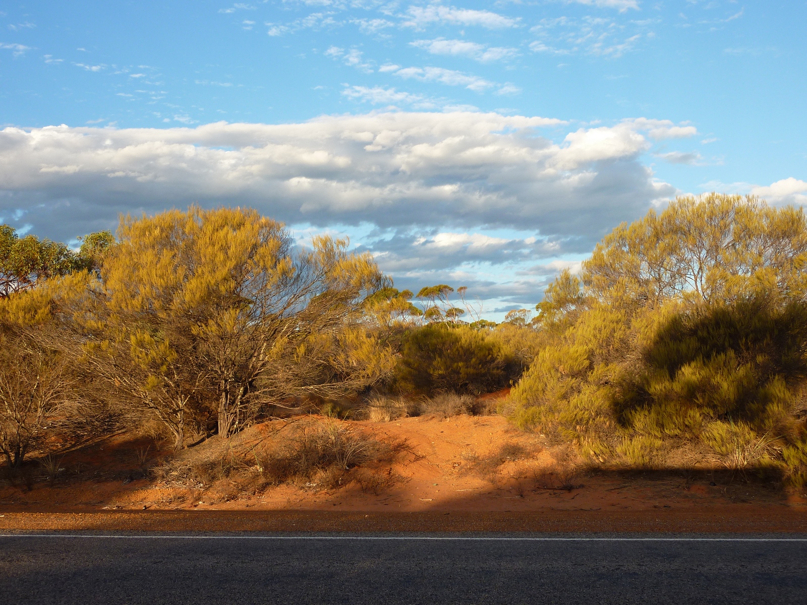
Map of the route “Tag 4 – 20.04.2009: Cervantes – Pinnacles – Jurien Bay – Geraldton – Hamelin Pool”: 589,73 km, 3.311 m of climbing and 3.306 m of descent, elevation between -45 m and 291 m, time 14:23:18. It starts at -30.49694, 115.06652 and ends at -26.41402, 114.17265 (latitude, longitude).