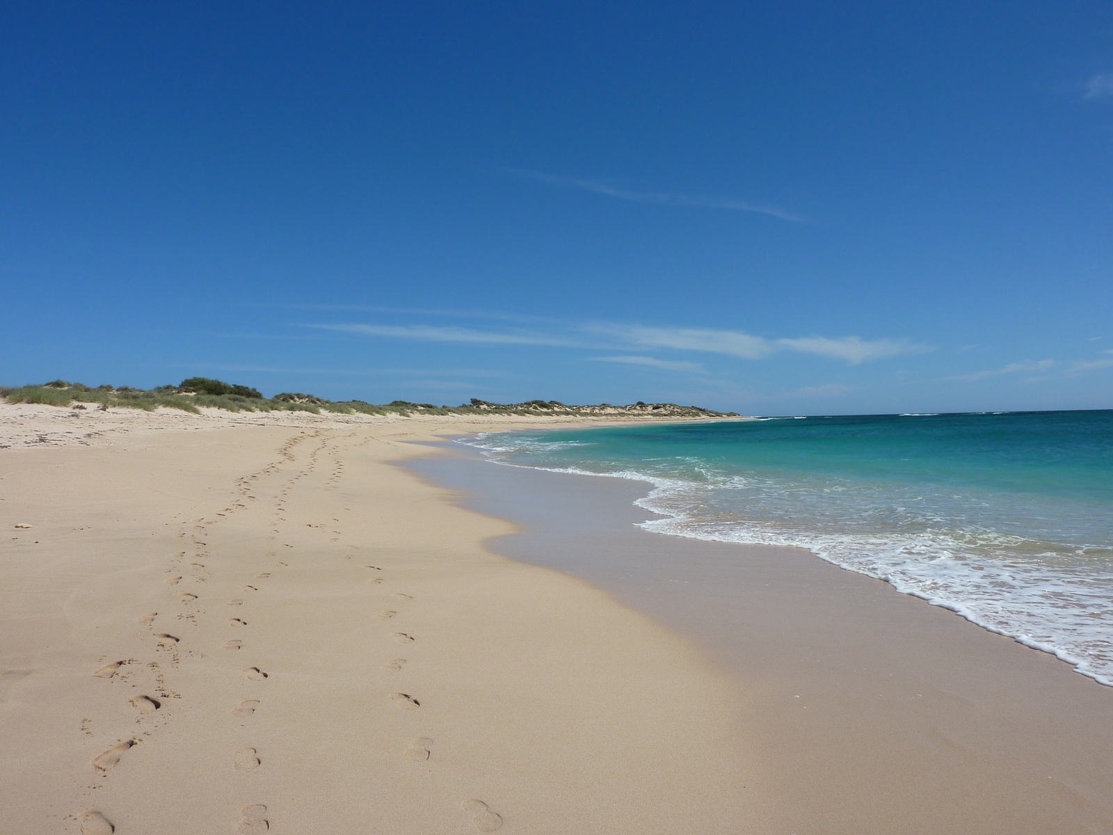
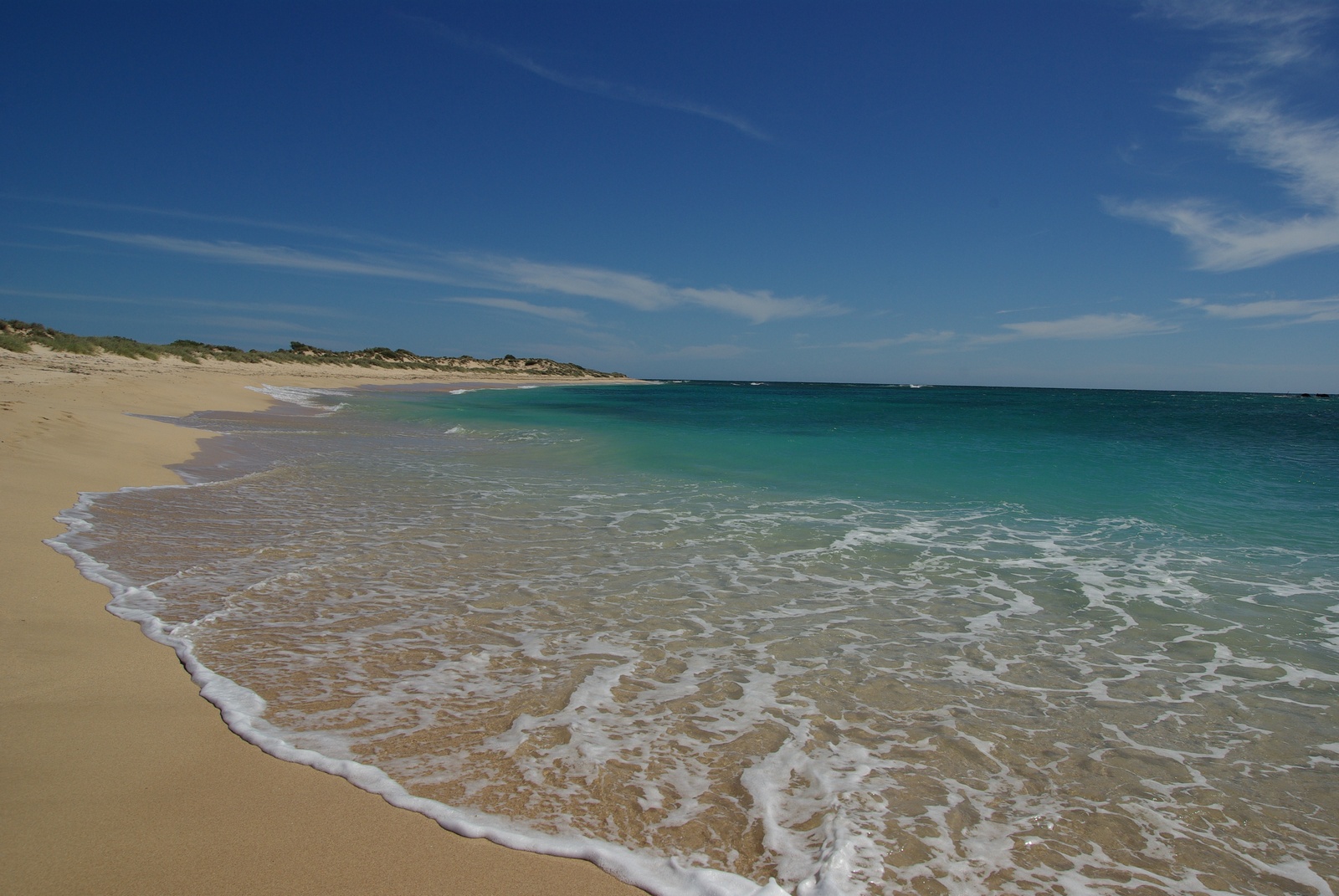
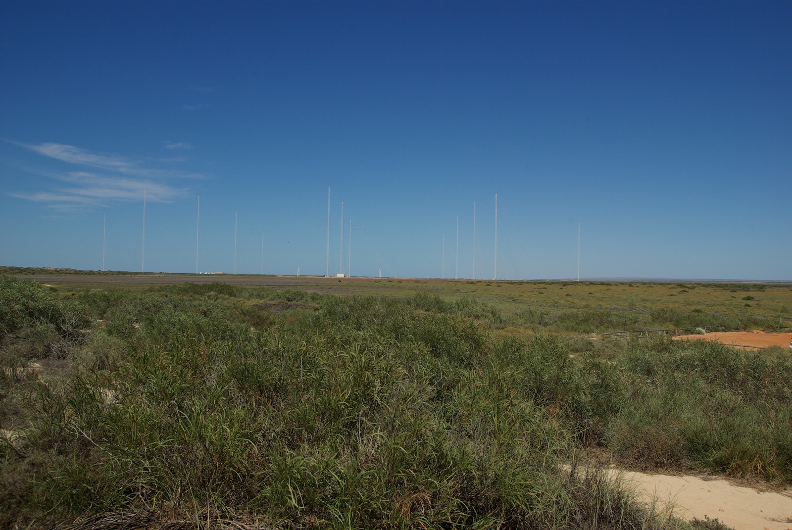
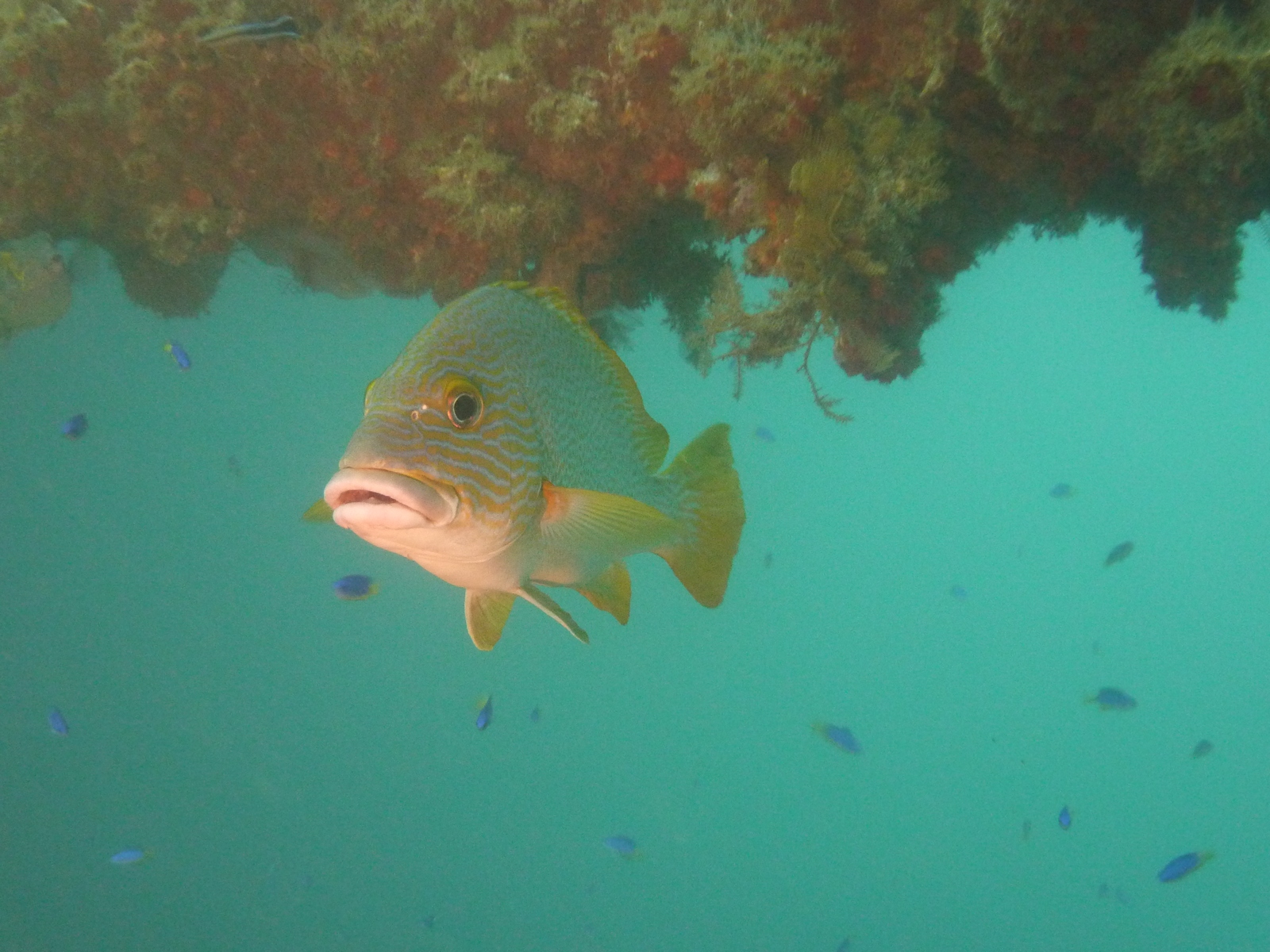
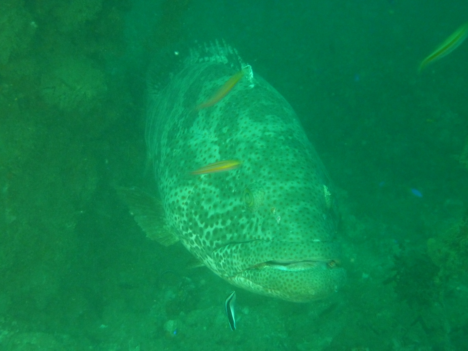
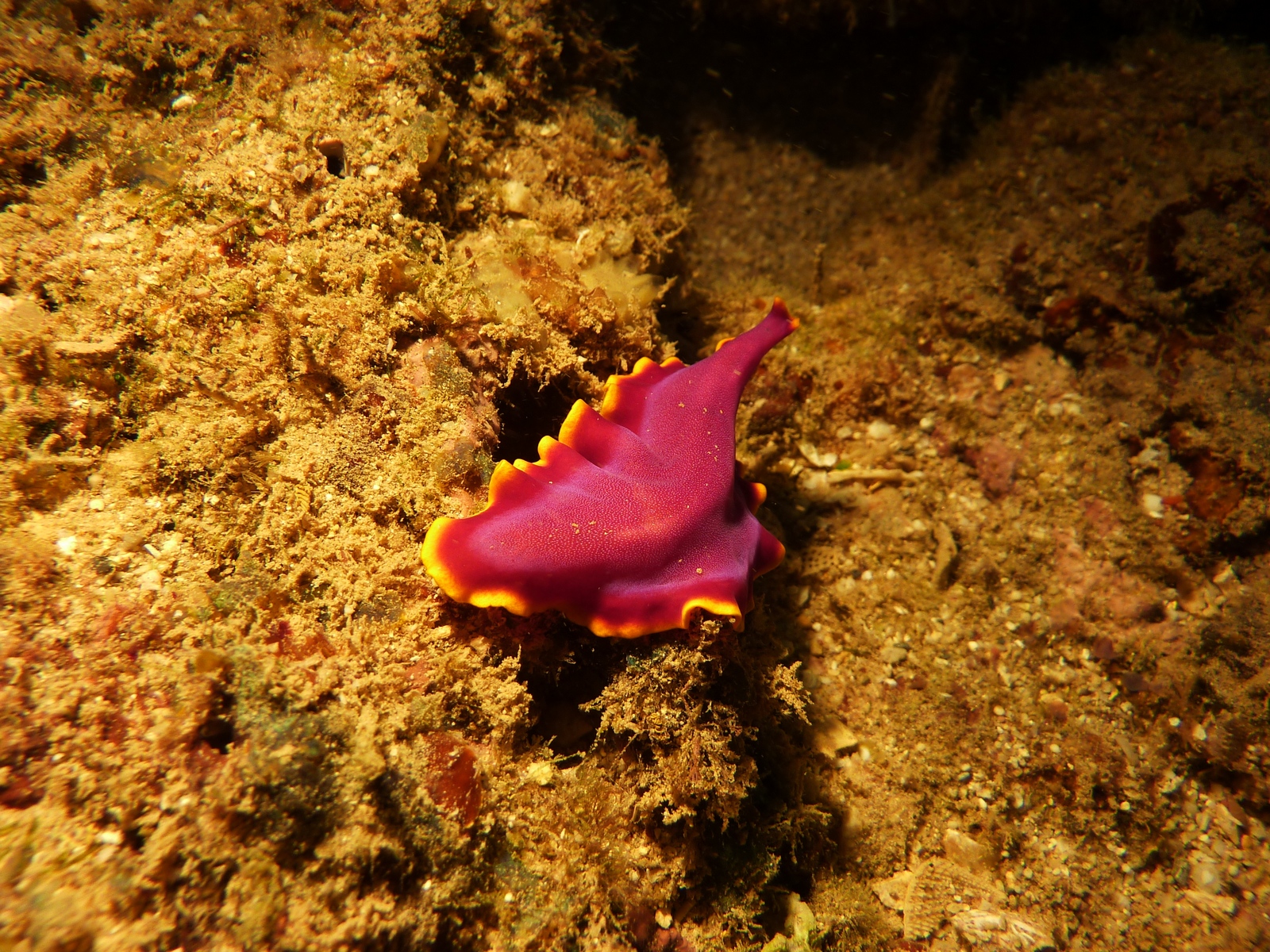
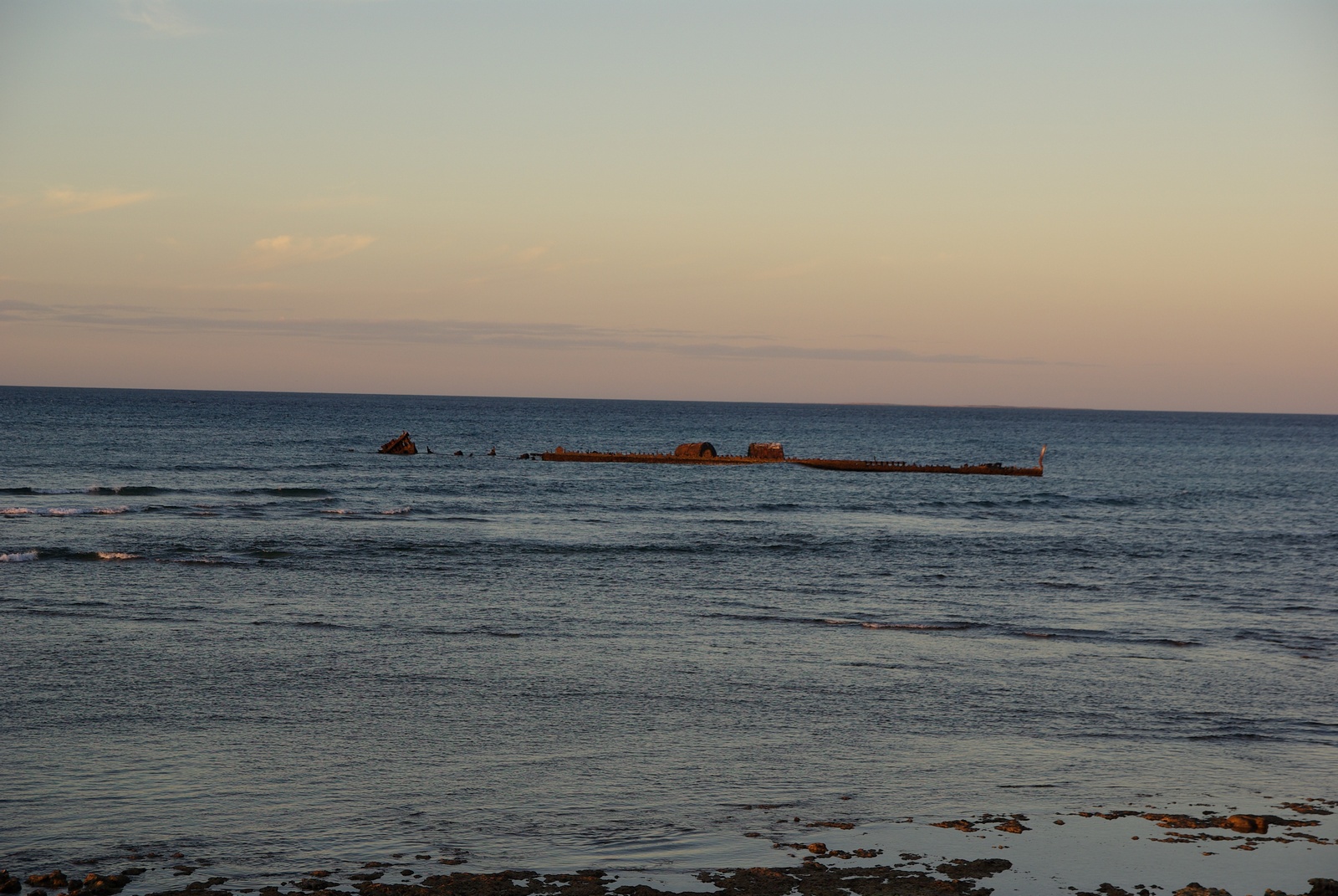
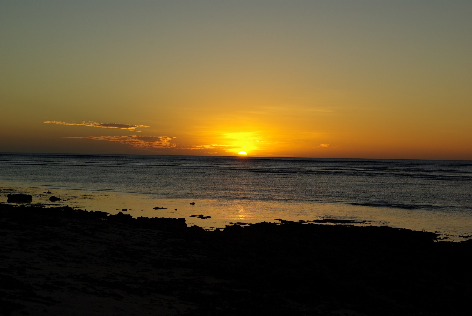
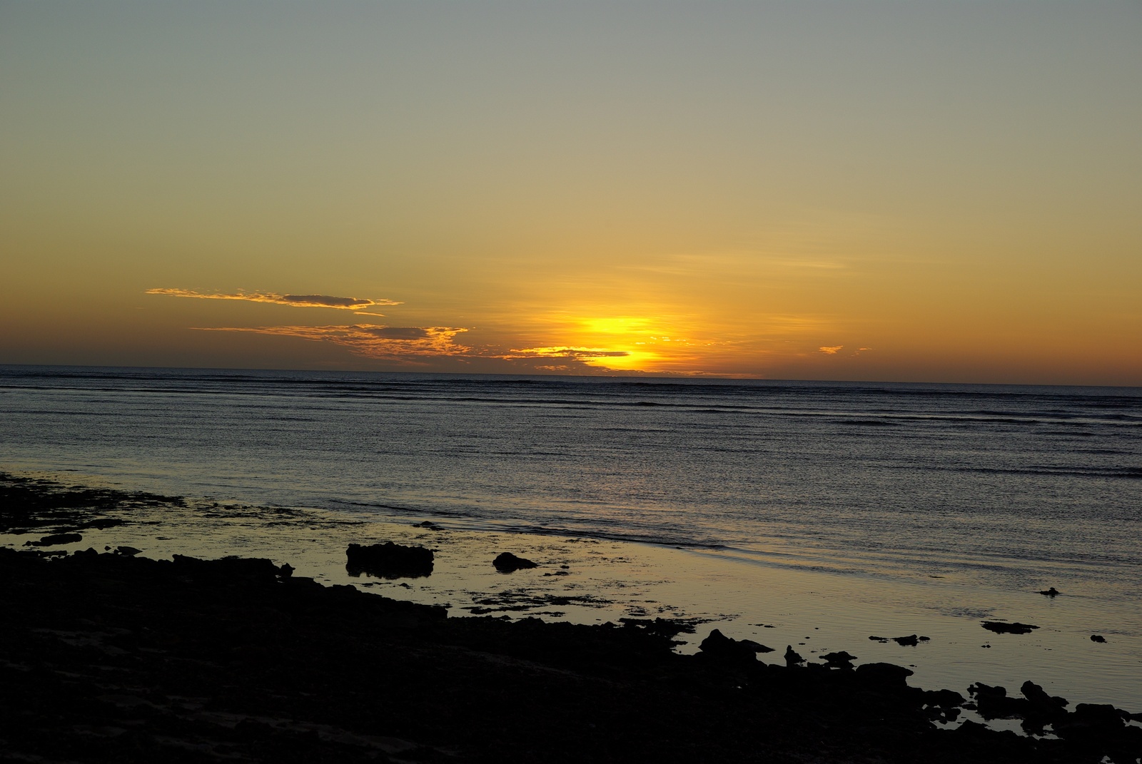
Map of the route “Tag 7 – 23.04.2009: Exmouth – Exmouth Navy Pier – Exmouth”: 87,54 km, 741 m of climbing and 776 m of descent, elevation between -11 m and 29 m, time 13:39:11. It starts at -21.80887, 114.11603 and ends at -21.80827, 114.11366 (latitude, longitude).