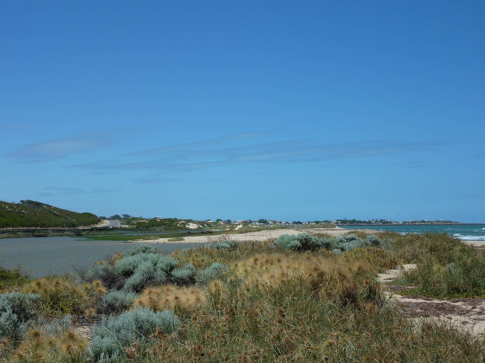
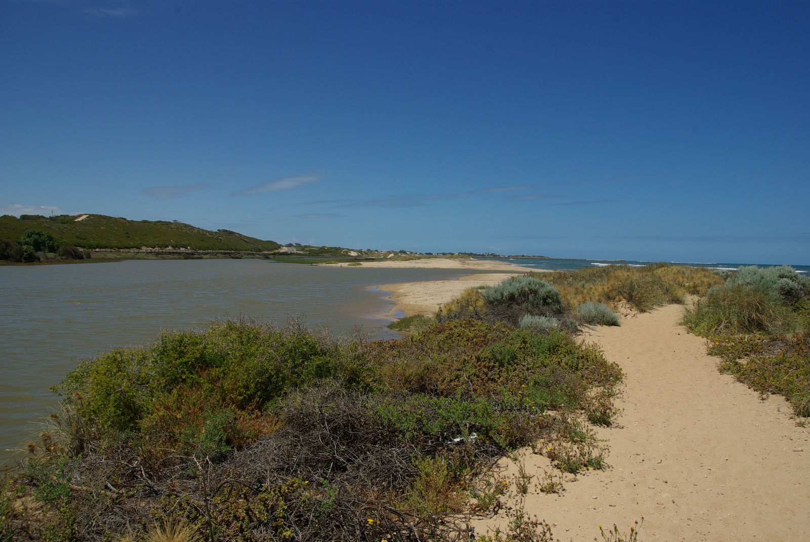
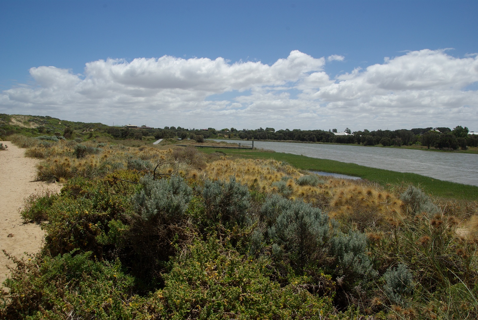
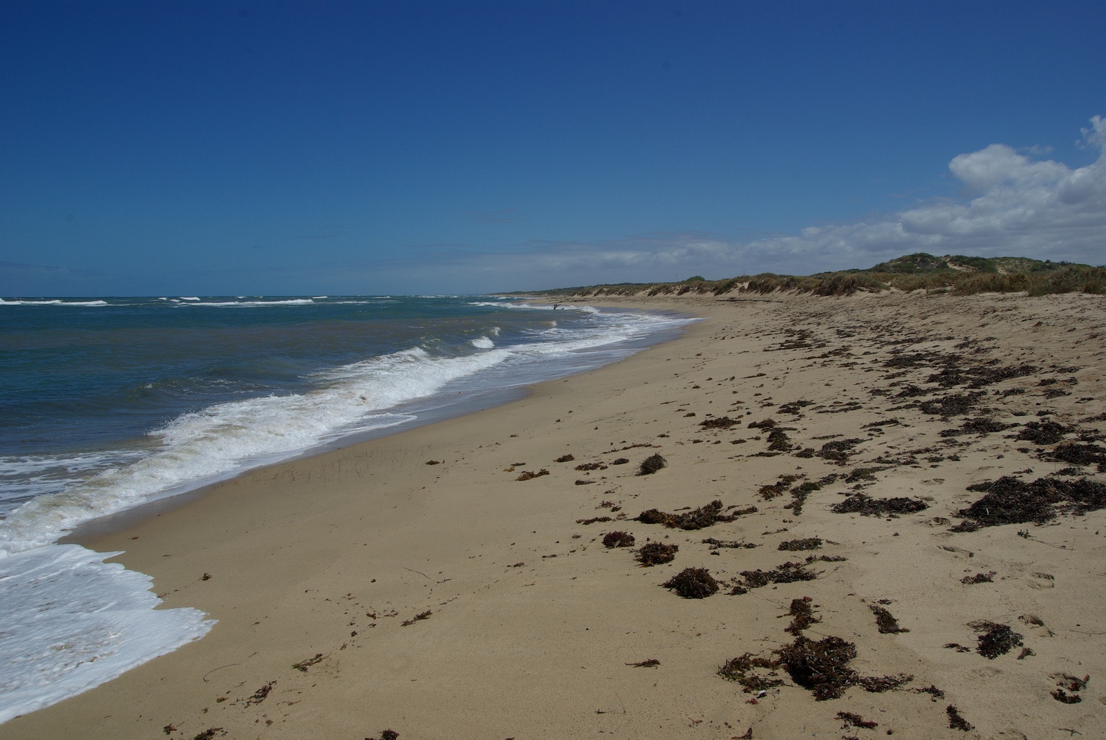
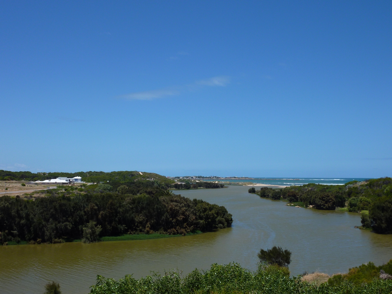
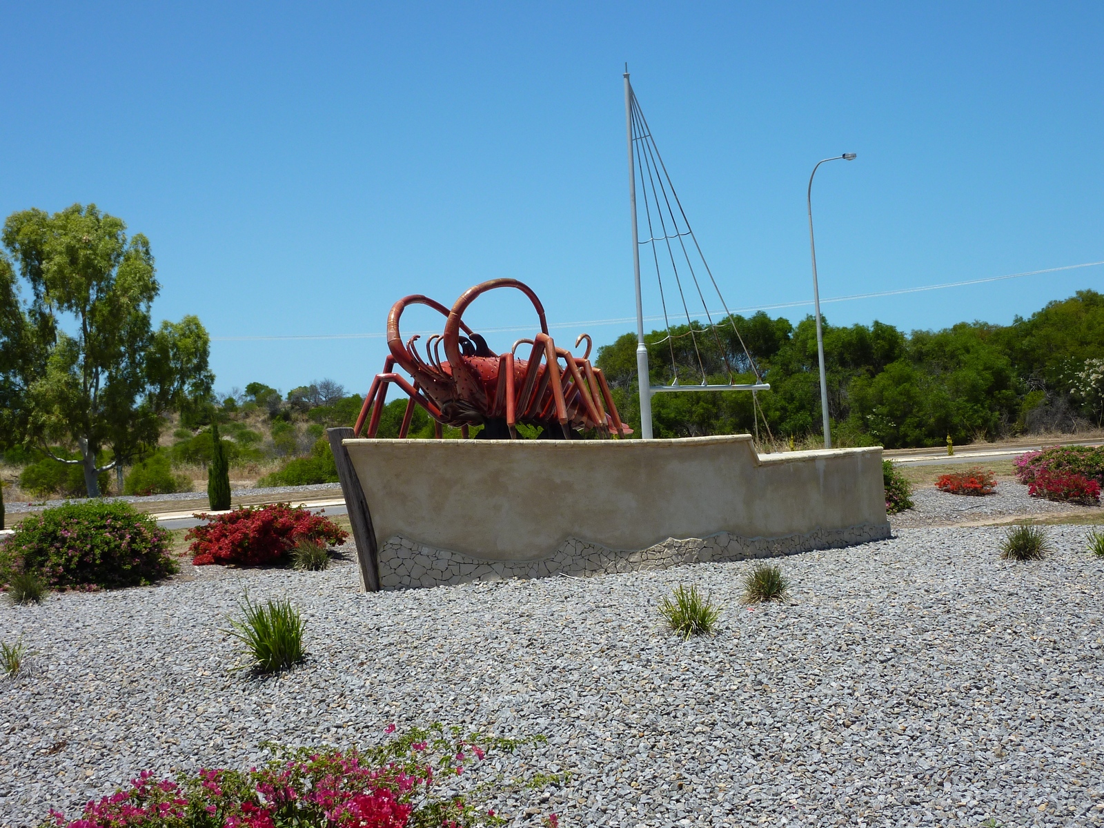
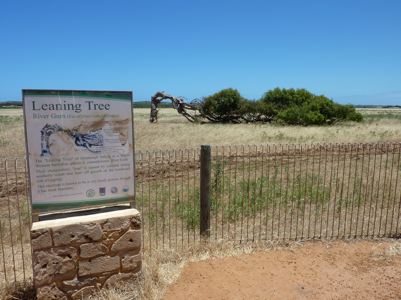
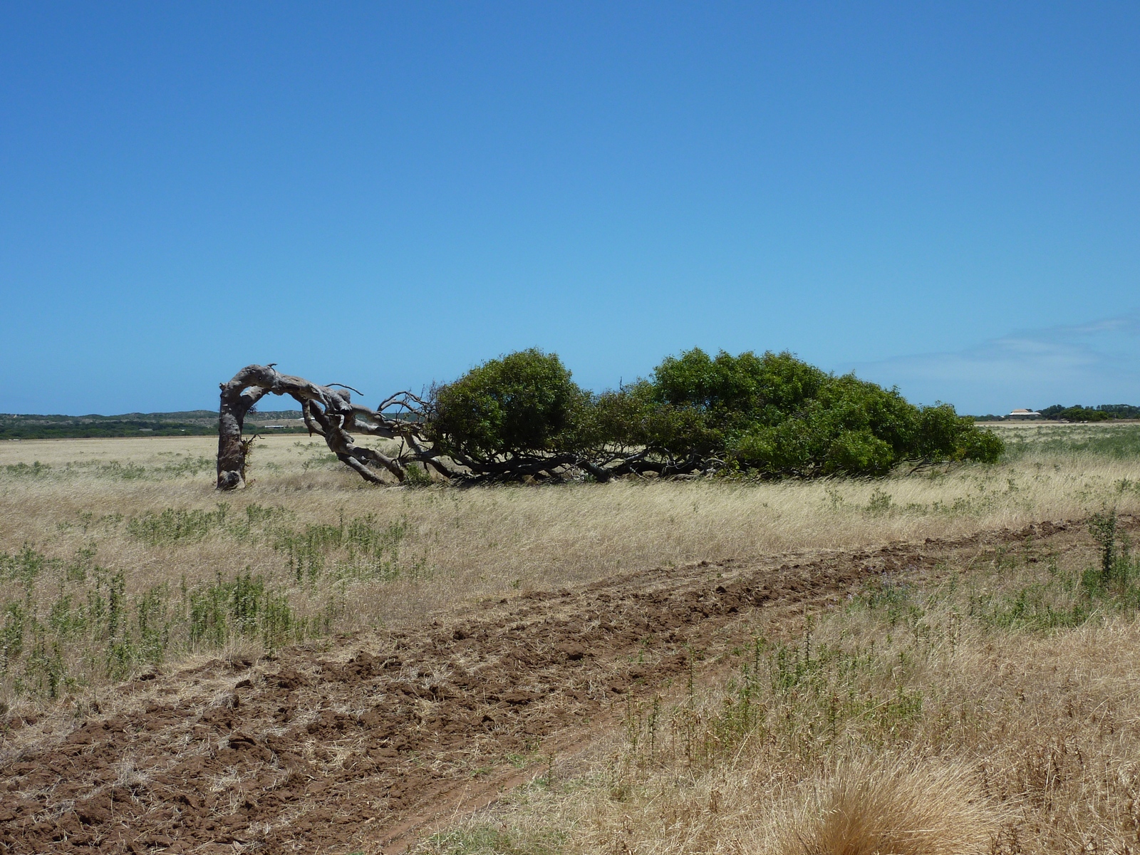
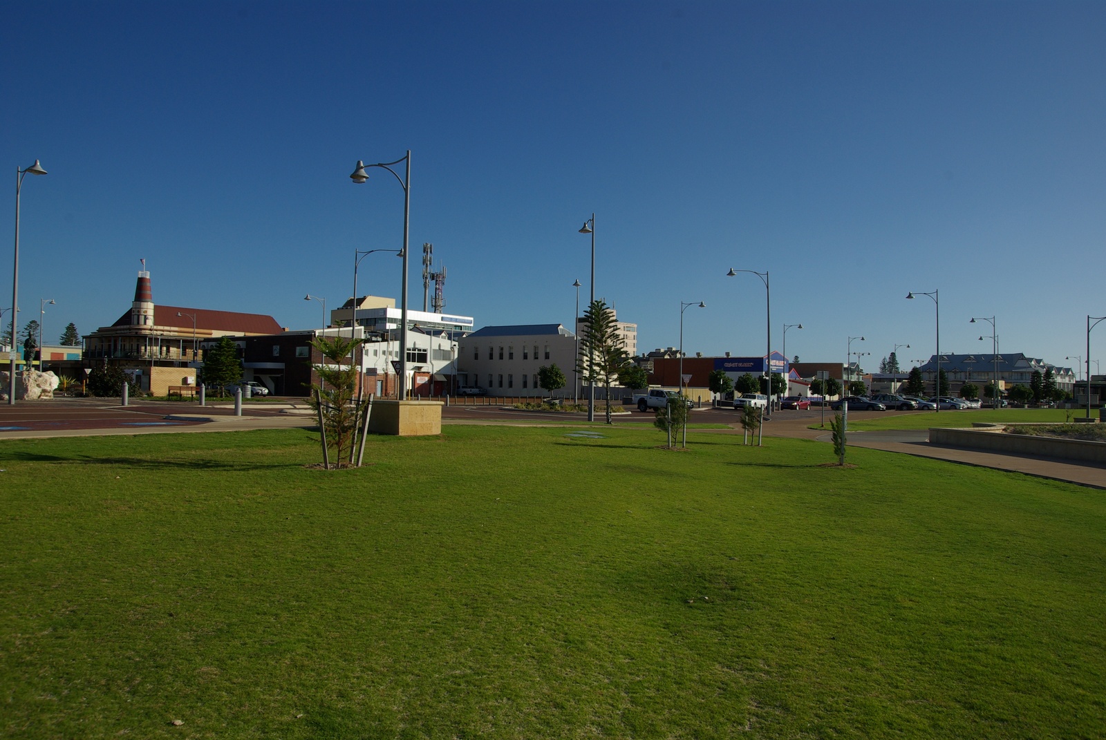
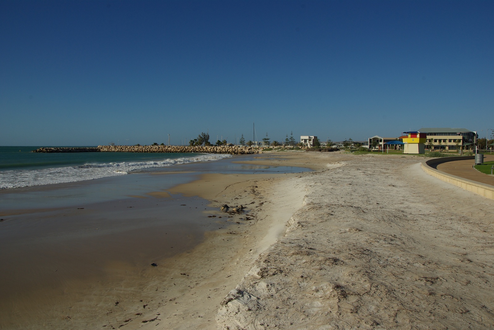
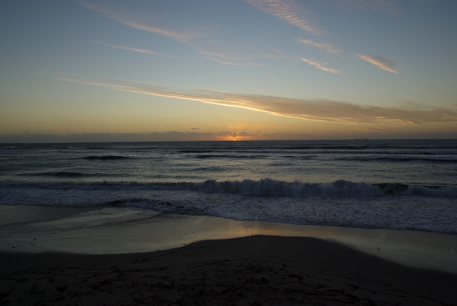
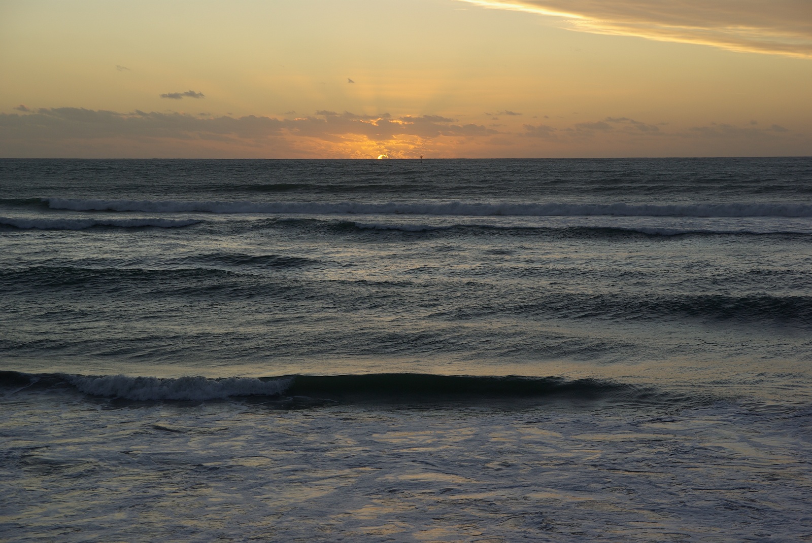
Map of the route “Tag 10 – 18.11.2011: Dongara – Geraldton”: 85,56 km, 1.165 m of climbing and 1.141 m of descent, elevation between -13 m and 43 m, time 13:51:58. It starts at -29.25325, 114.92170 and ends at -28.72441, 114.62073 (latitude, longitude).