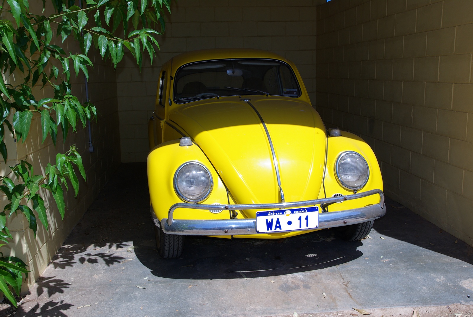
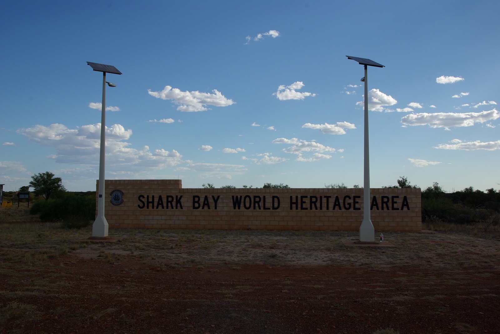
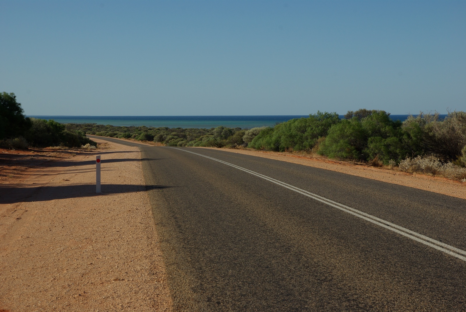
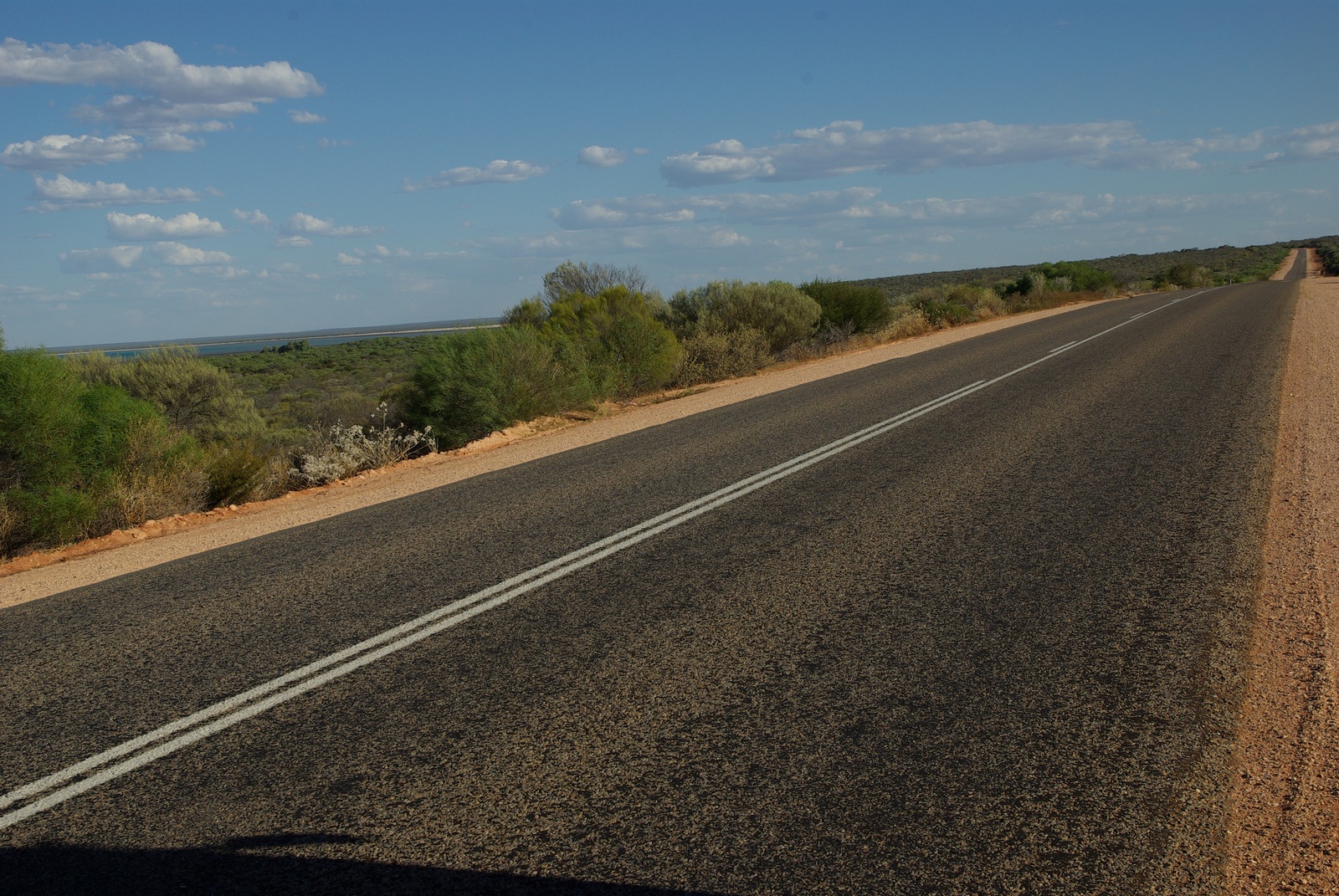
Map of the route “Tag 24 – 02.12.2011: Carnarvon – Denham”: 350,61 km, 1.667 m of climbing and 1.671 m of descent, elevation between 2 m and 90 m, time 13:29:37. It starts at -24.87960, 113.66154 and ends at -25.92846, 113.53765 (latitude, longitude).