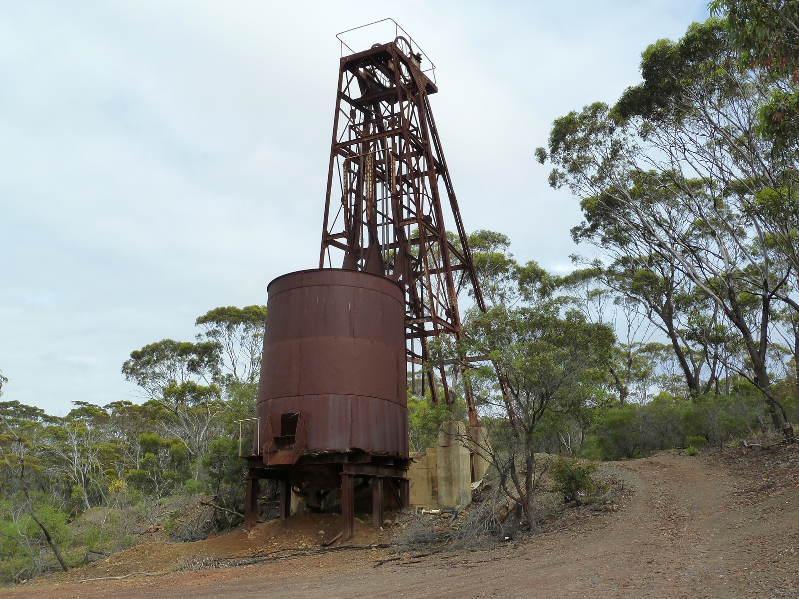
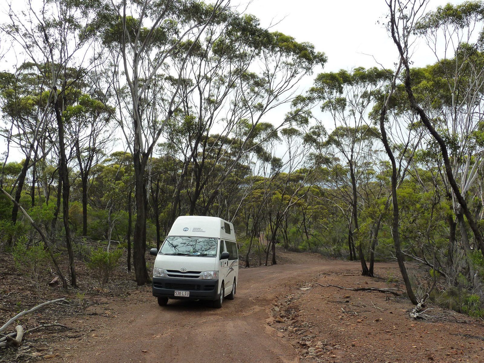
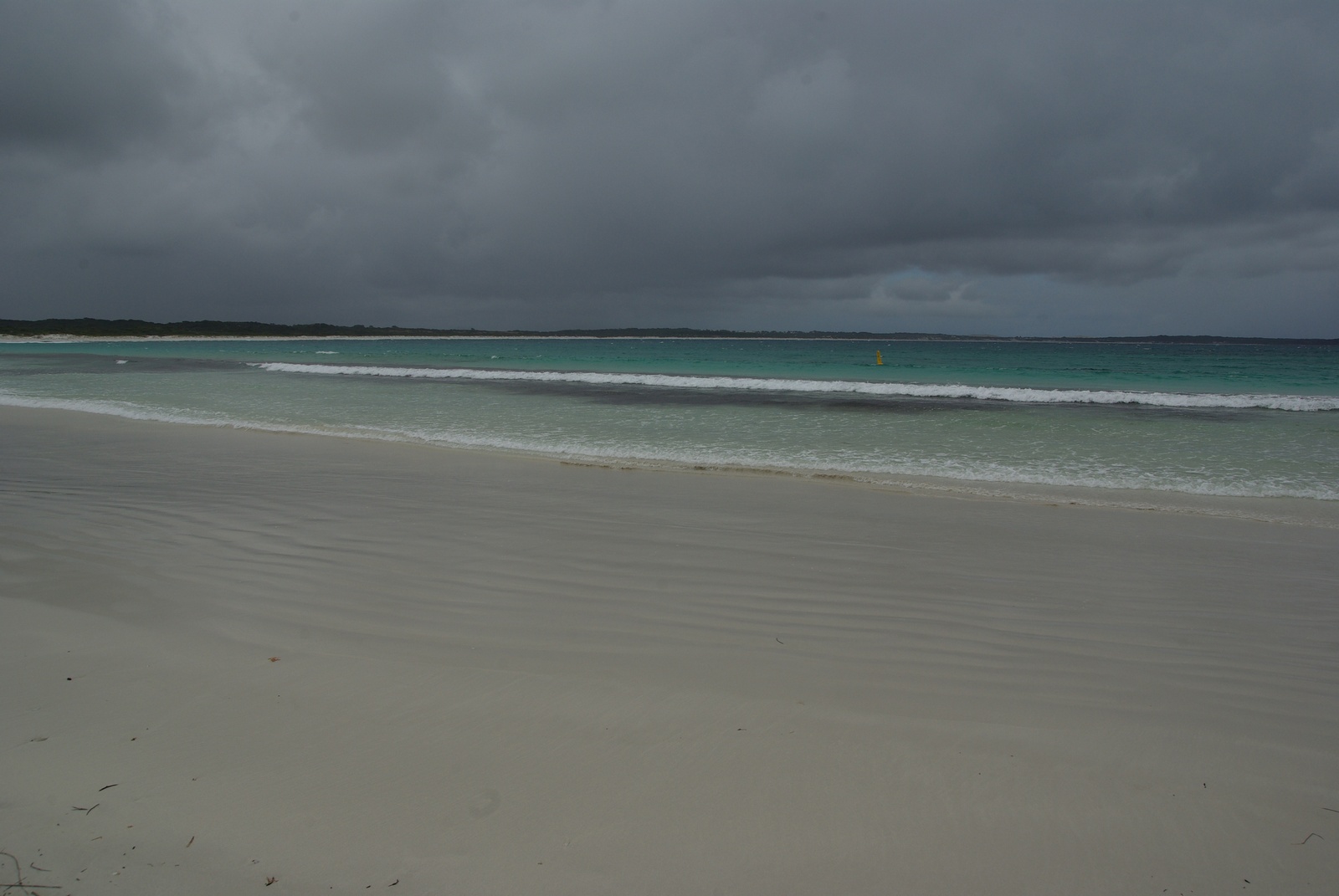
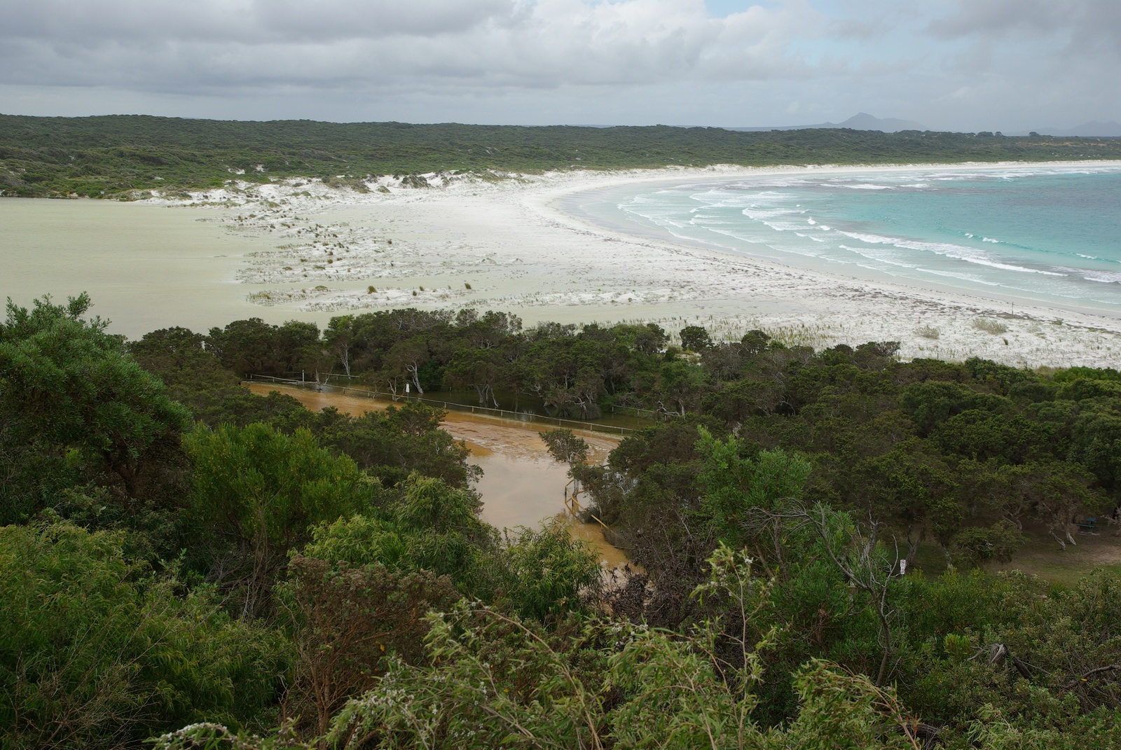
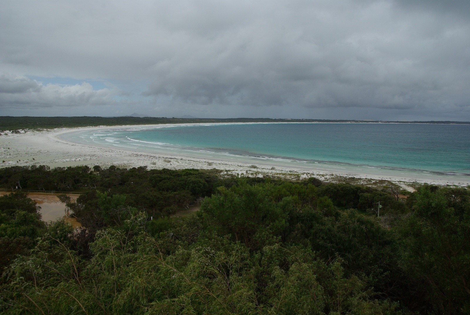
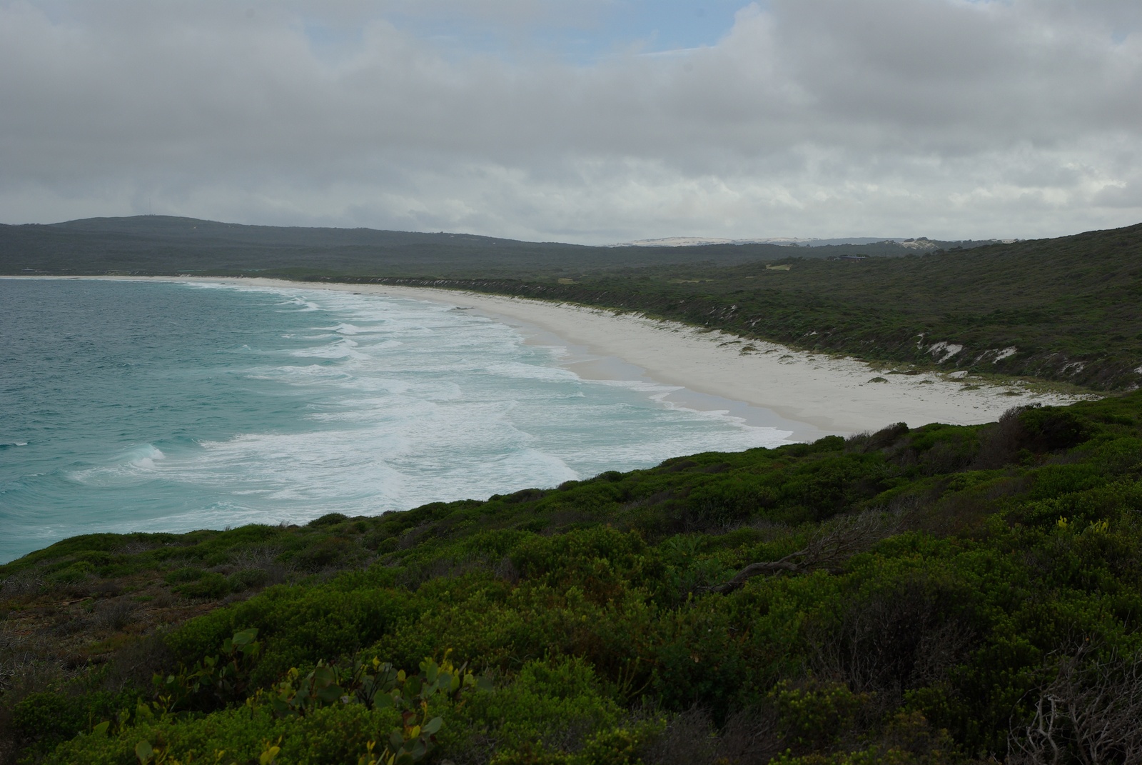
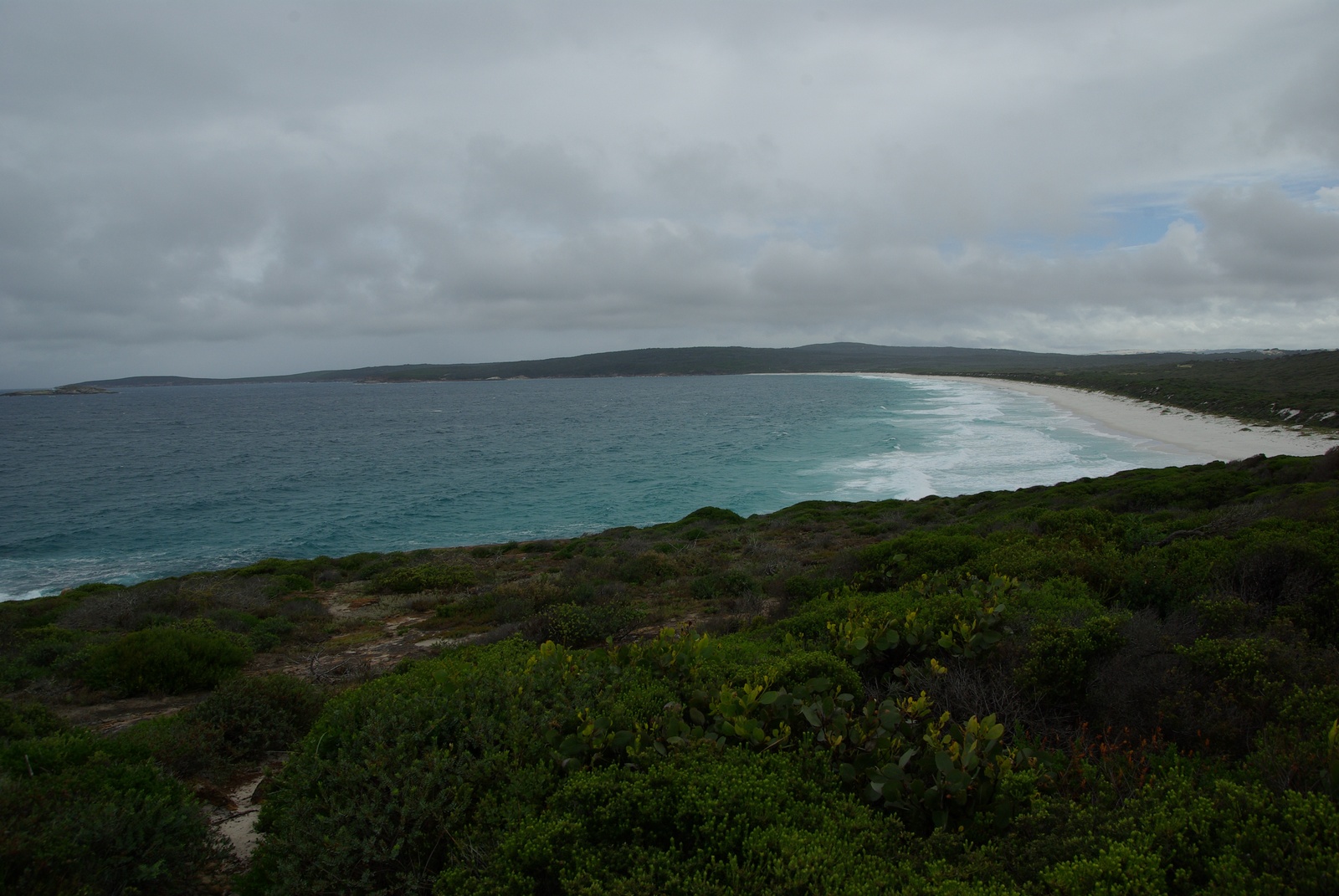
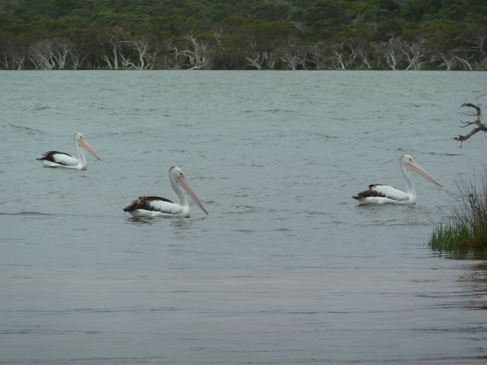
Map of the route “Tag 37 – 15.12.2011: Ravensthorpe – Bremer Bay – Albany”: 420,09 km, 3.748 m of climbing and 3.922 m of descent, elevation between 0 m and 325 m, time 13:06:20. It starts at -33.57883, 120.05414 and ends at -35.02033, 117.91600 (latitude, longitude).