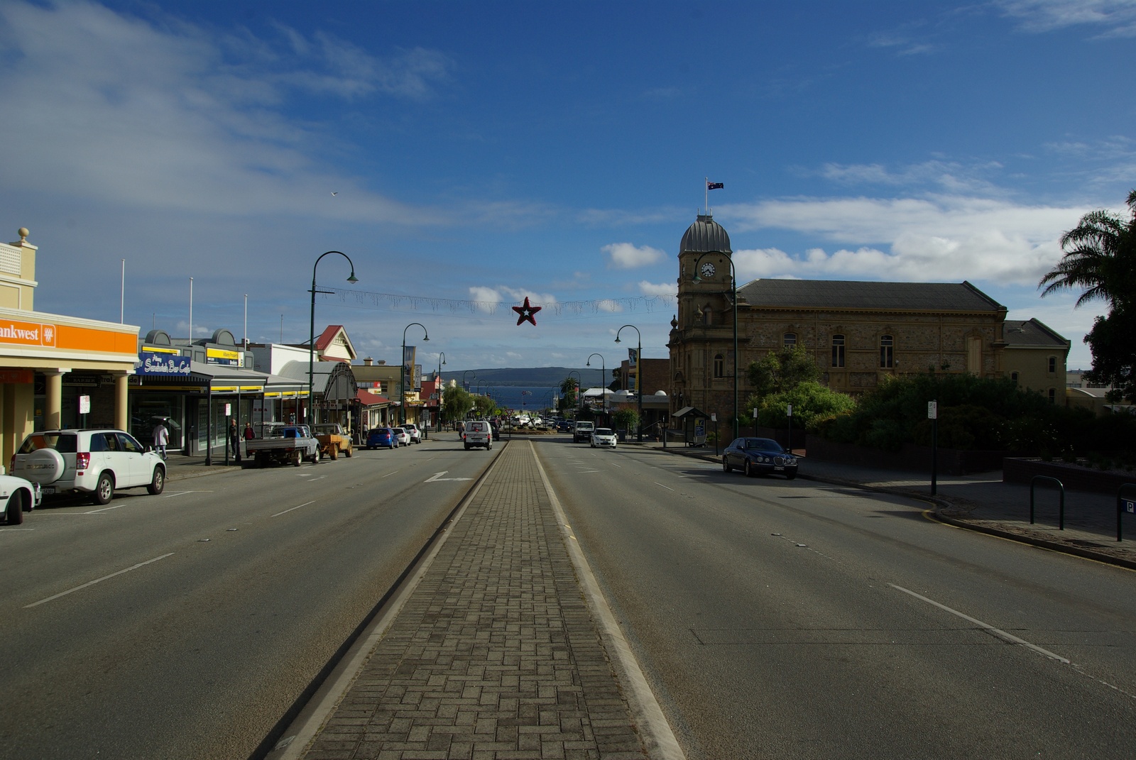
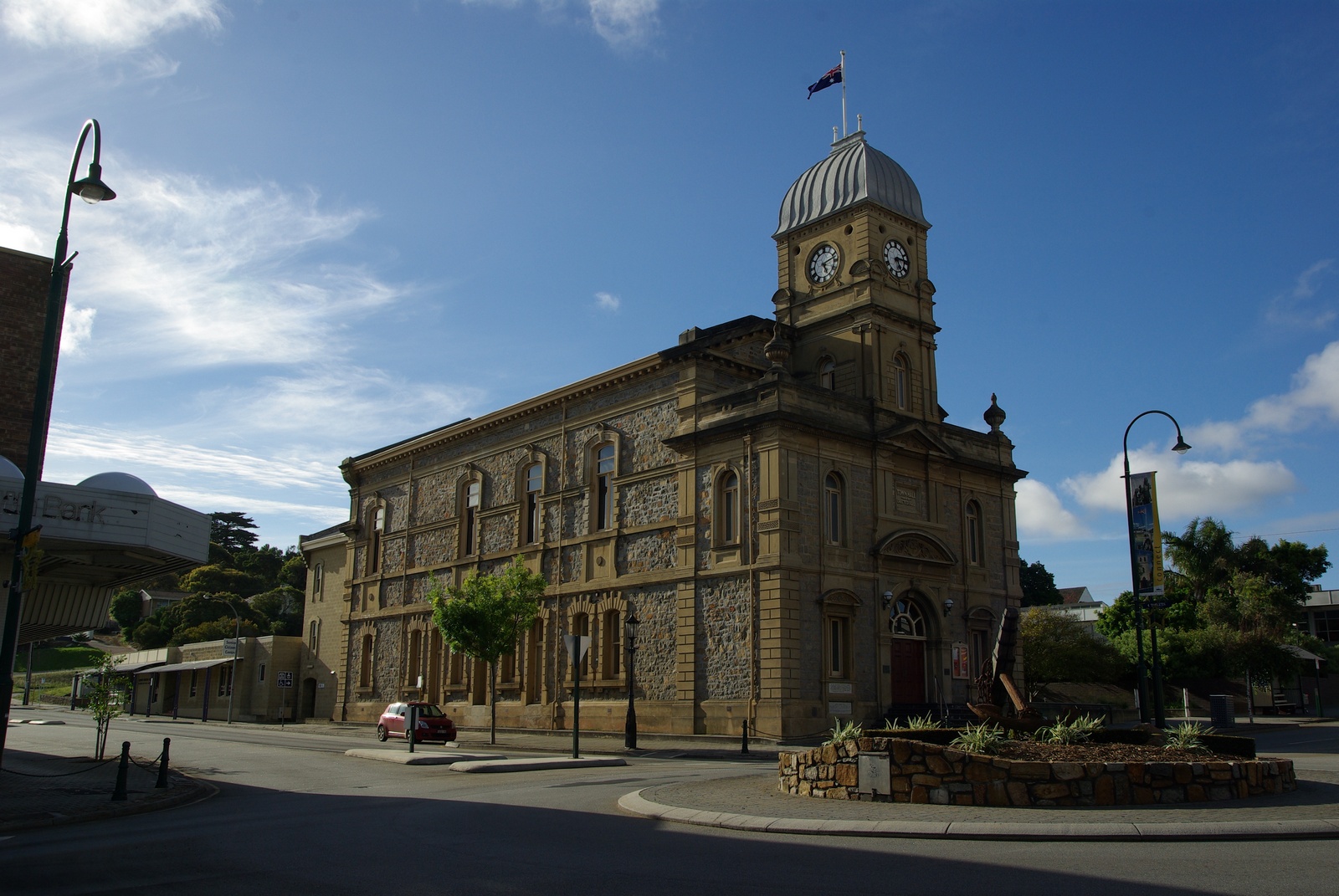
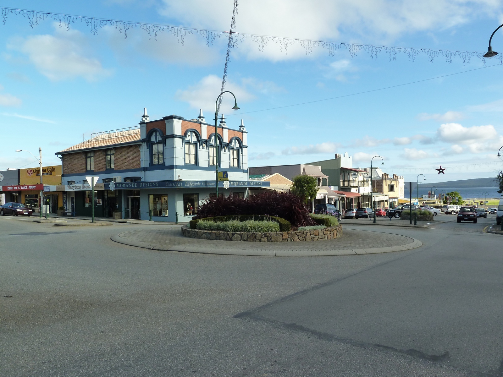
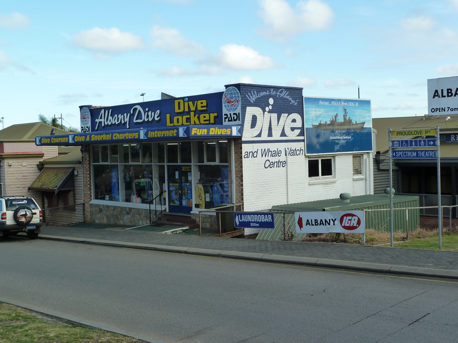
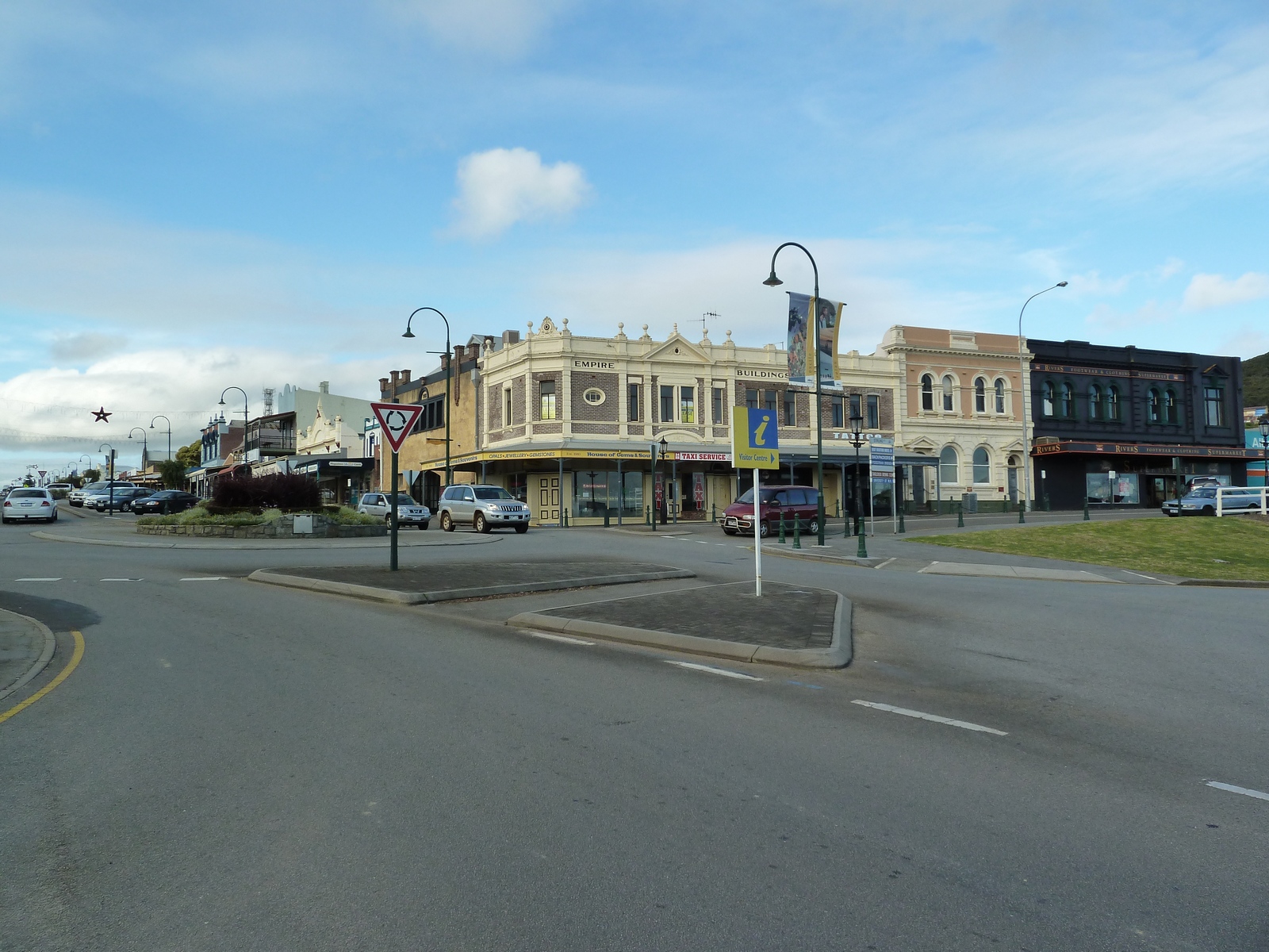
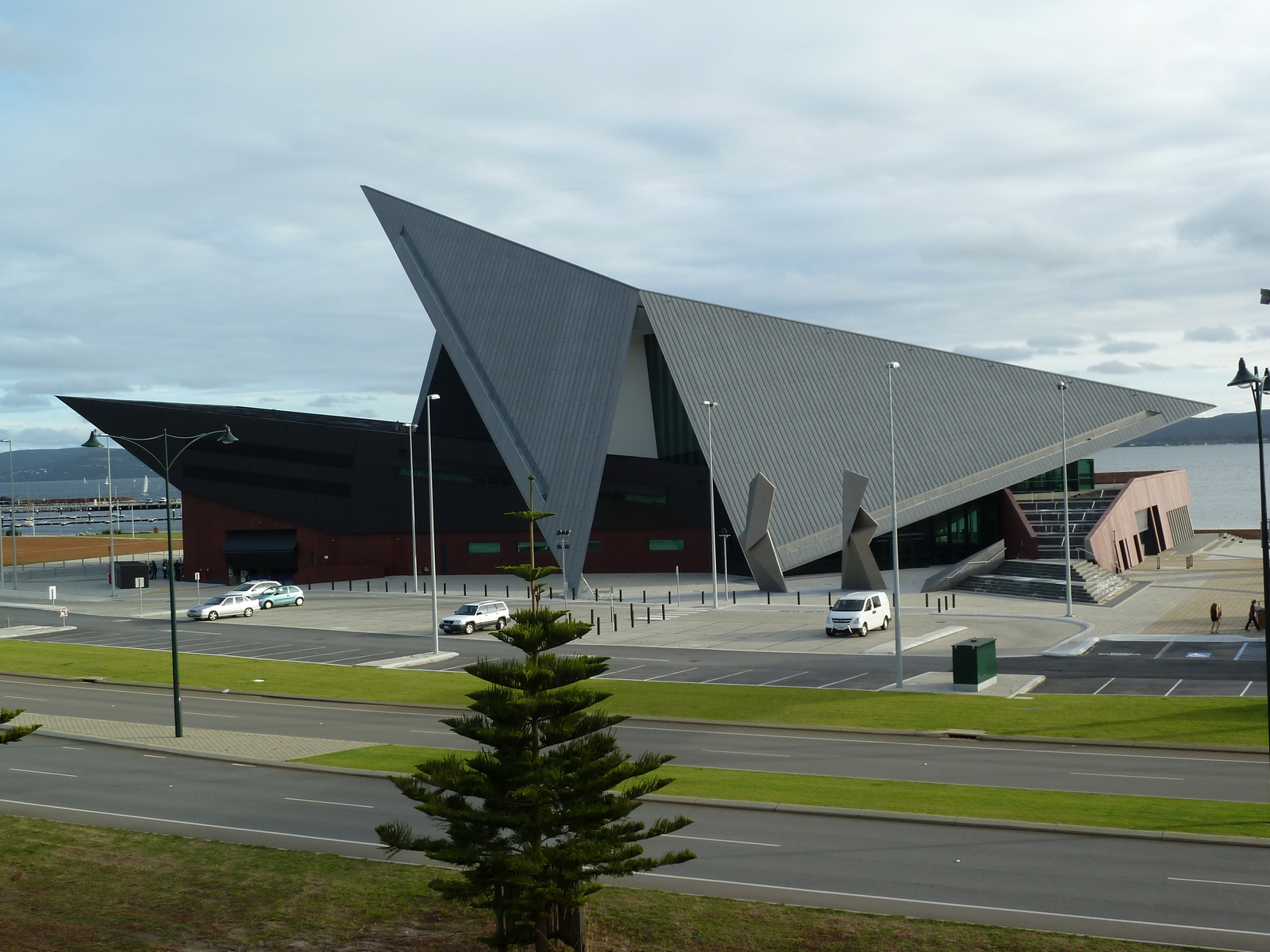
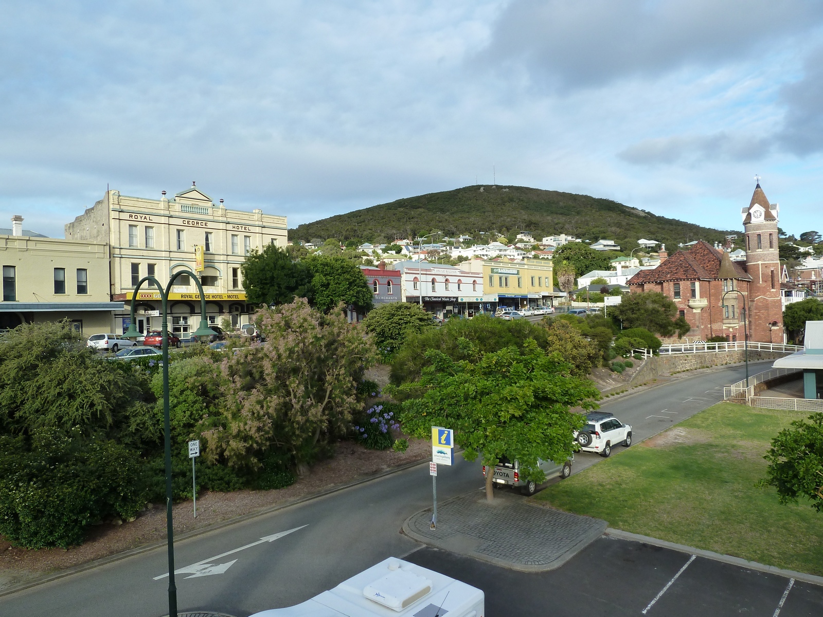
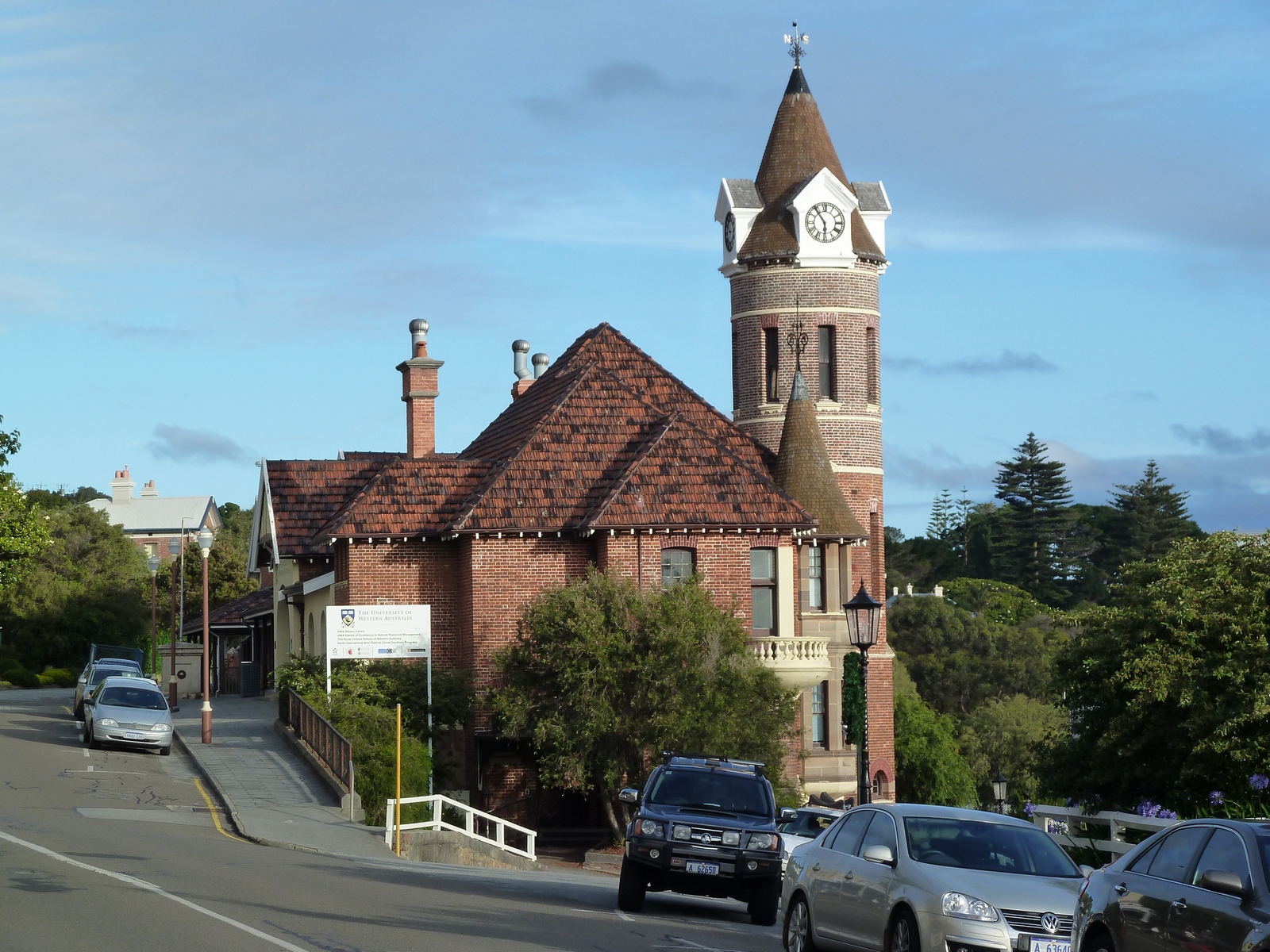
Map of the route “Tag 38 – 16.12.2011: Albany”: 27,53 km, 1.883 m of climbing and 1.878 m of descent, elevation between -10 m and 52 m, time 13:57:04. It is a loop that starts and ends at -35.02022, 117.91570 (latitude, longitude).
Gesamtstrecke: 27.54 km Maximale Höhe: 52 m Minimale Höhe: -13 m Gesamtanstieg: 1883 m Gesamtabstieg: 1878 m Gesamtzeit: 14:06:56