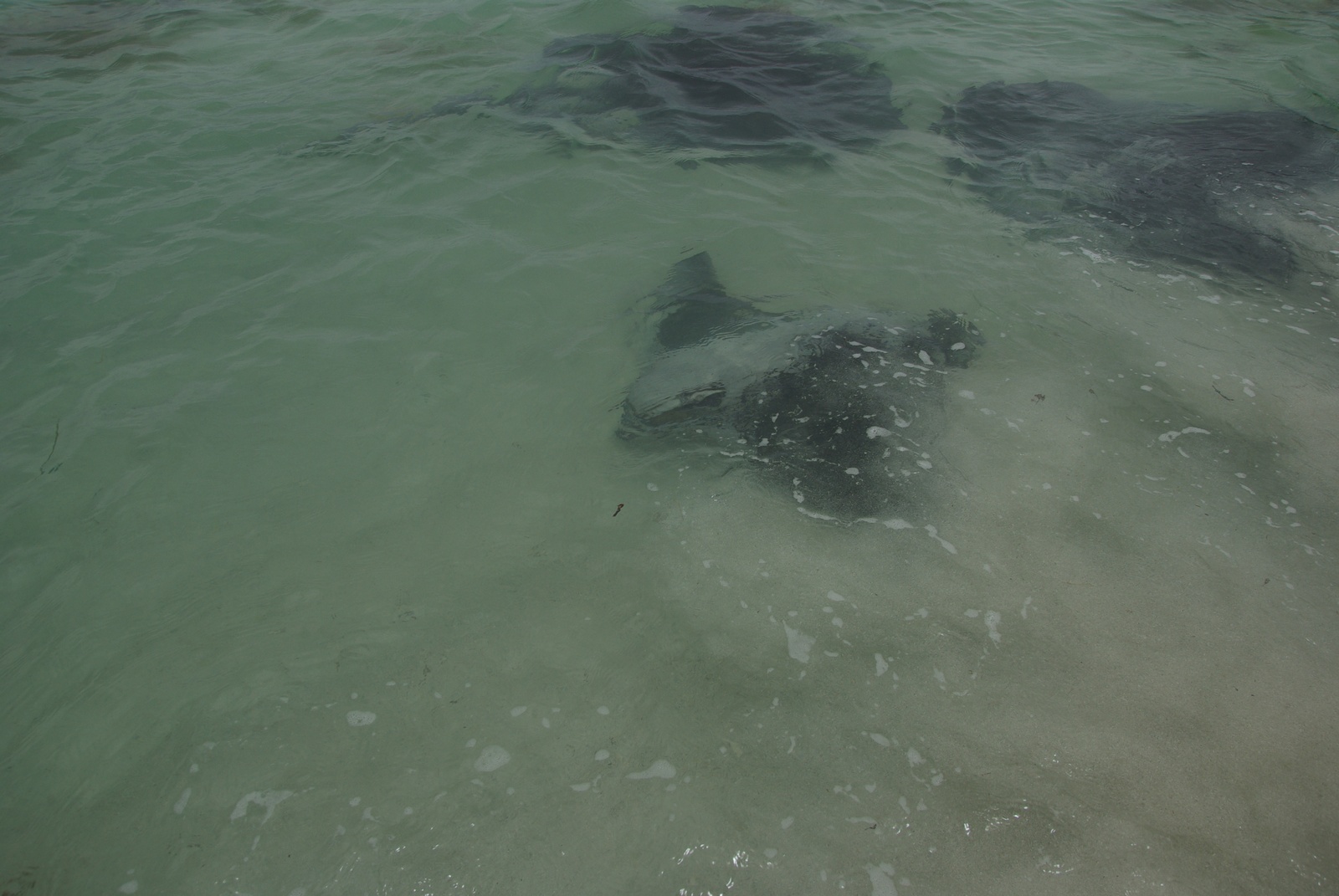
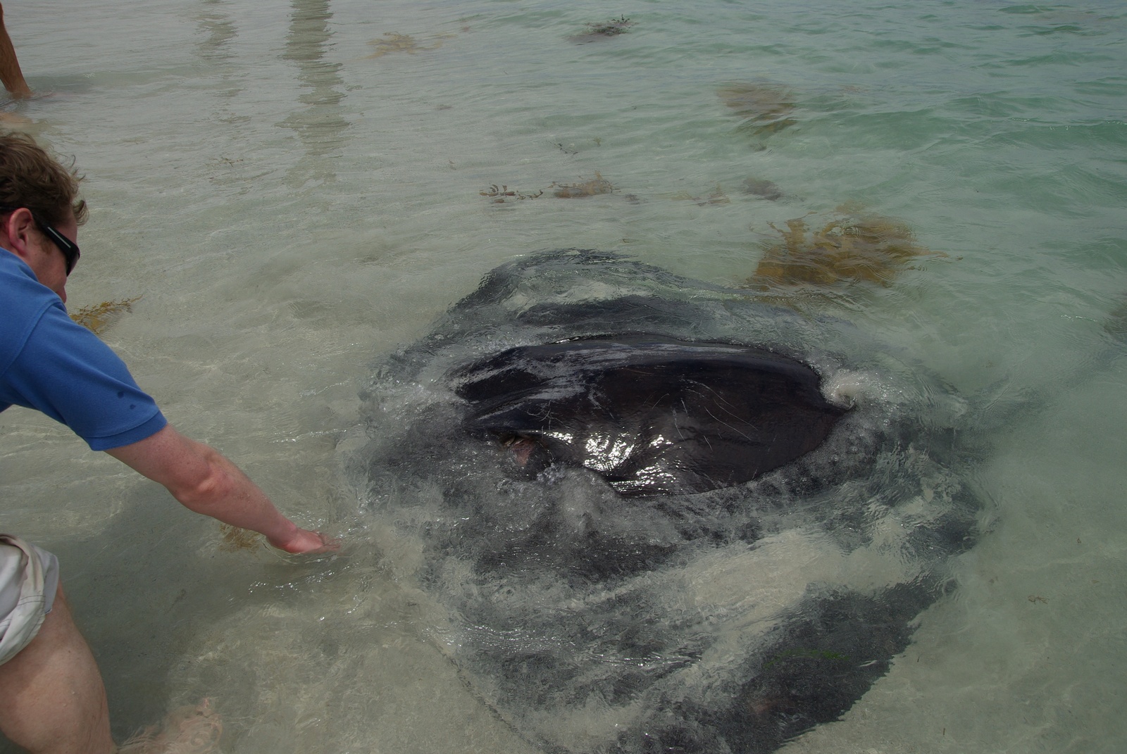
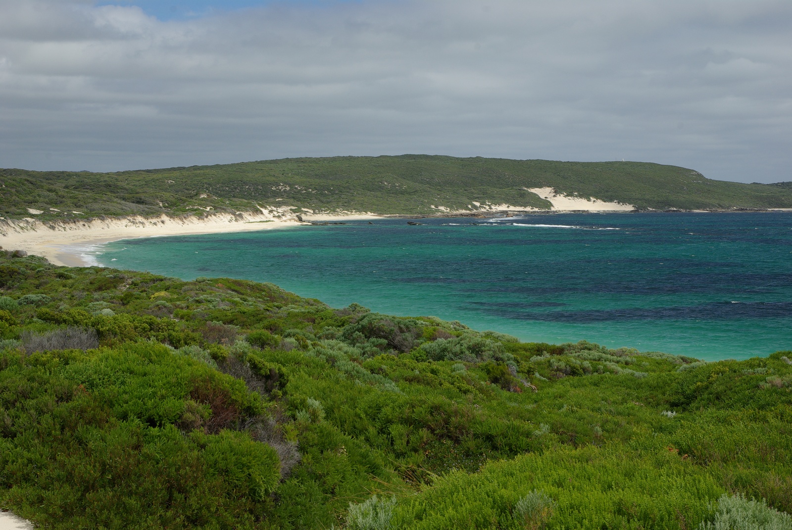
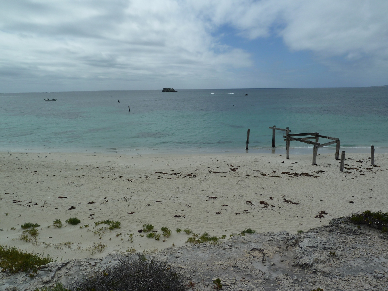
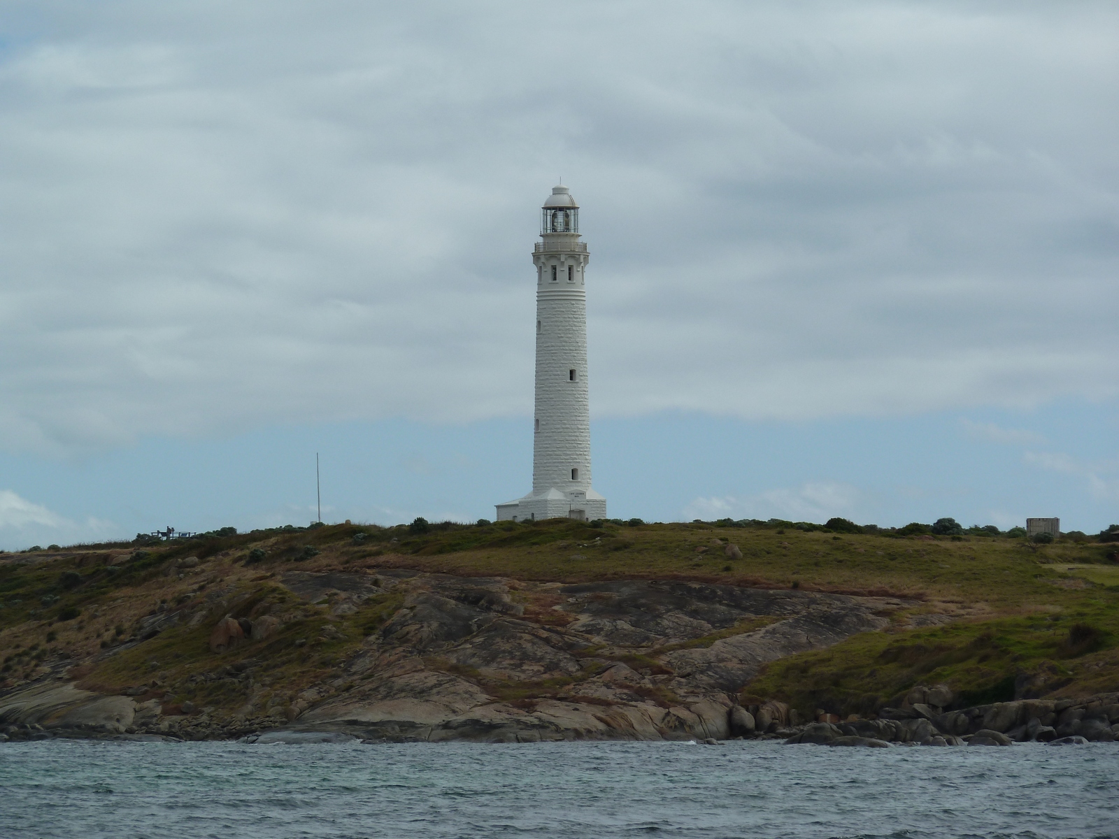
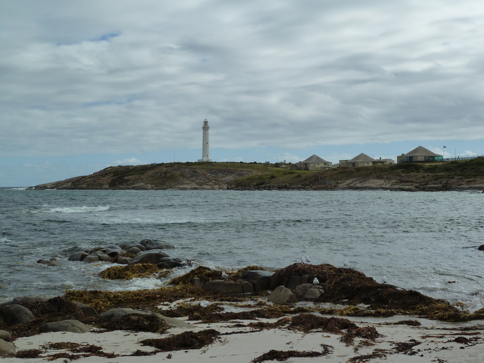
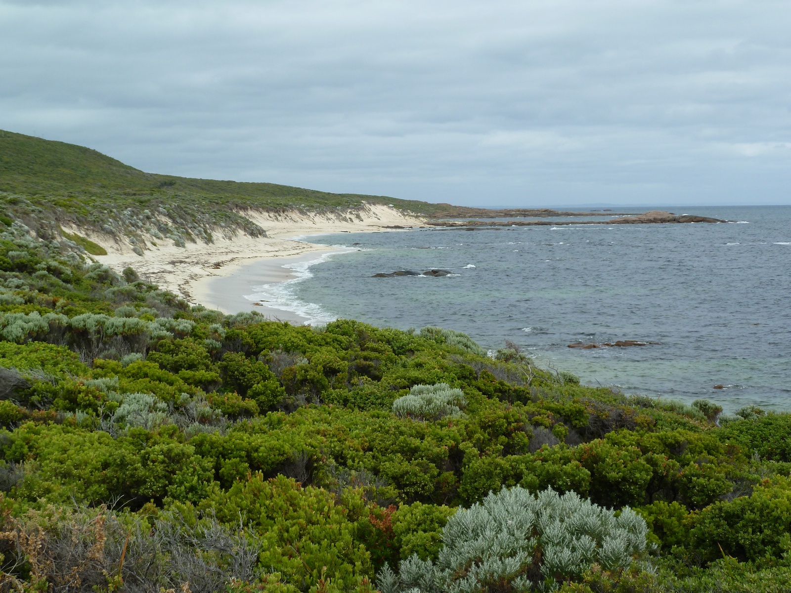
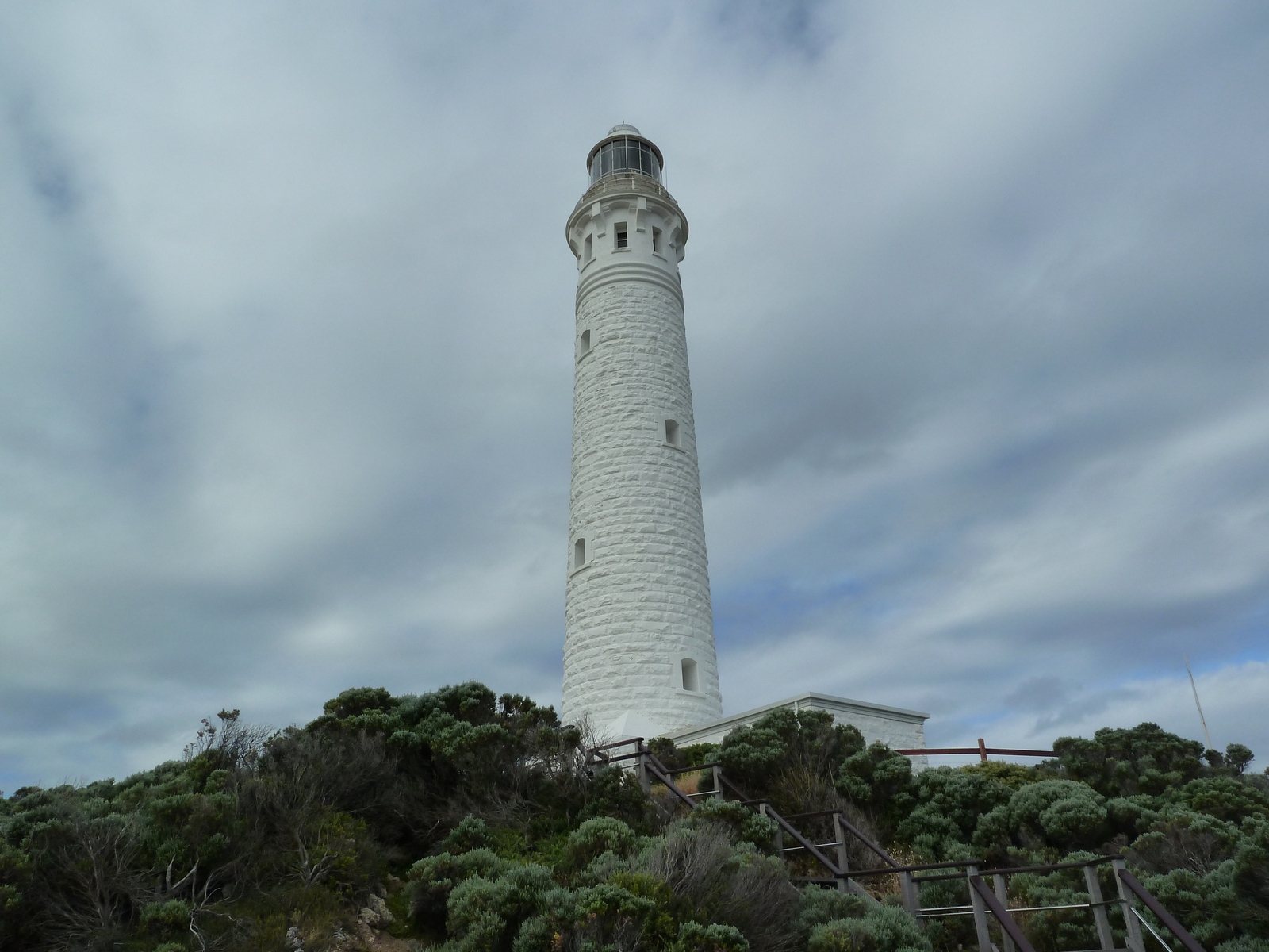
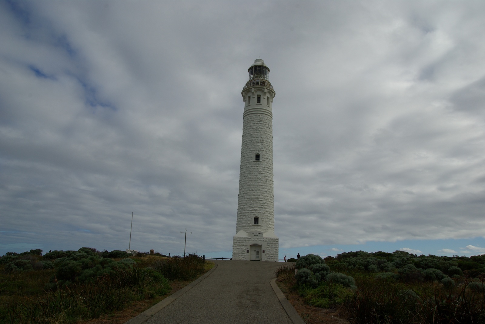
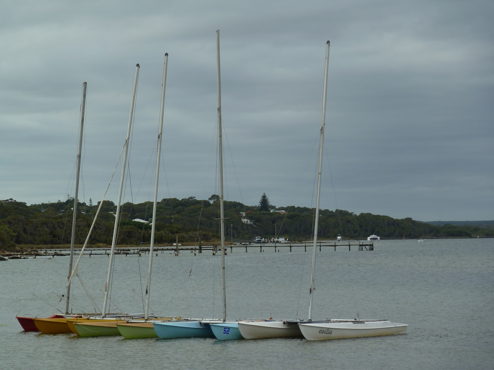
Map of the route “Tag 44 – 22.12.2011: Augusta – Hamelin Bay – Cape Leeuwin – Augusta – Margaret River”: 116,85 km, 2.432 m of climbing and 2.357 m of descent, elevation between -16 m and 97 m, time 10:38:52. It starts at -34.34121, 115.16668 and ends at -33.95880, 115.06833 (latitude, longitude).