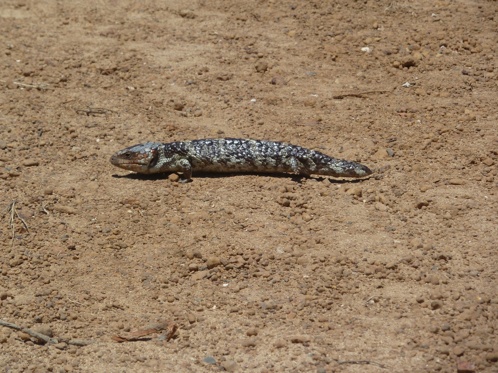
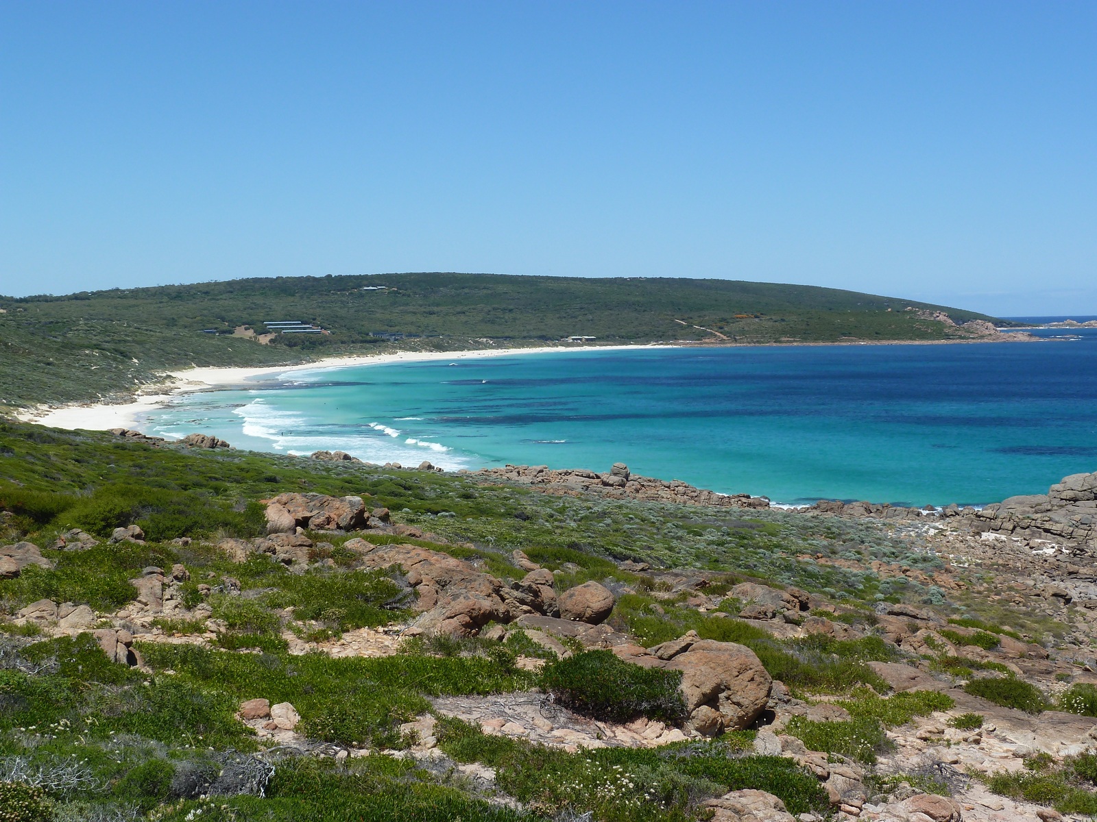
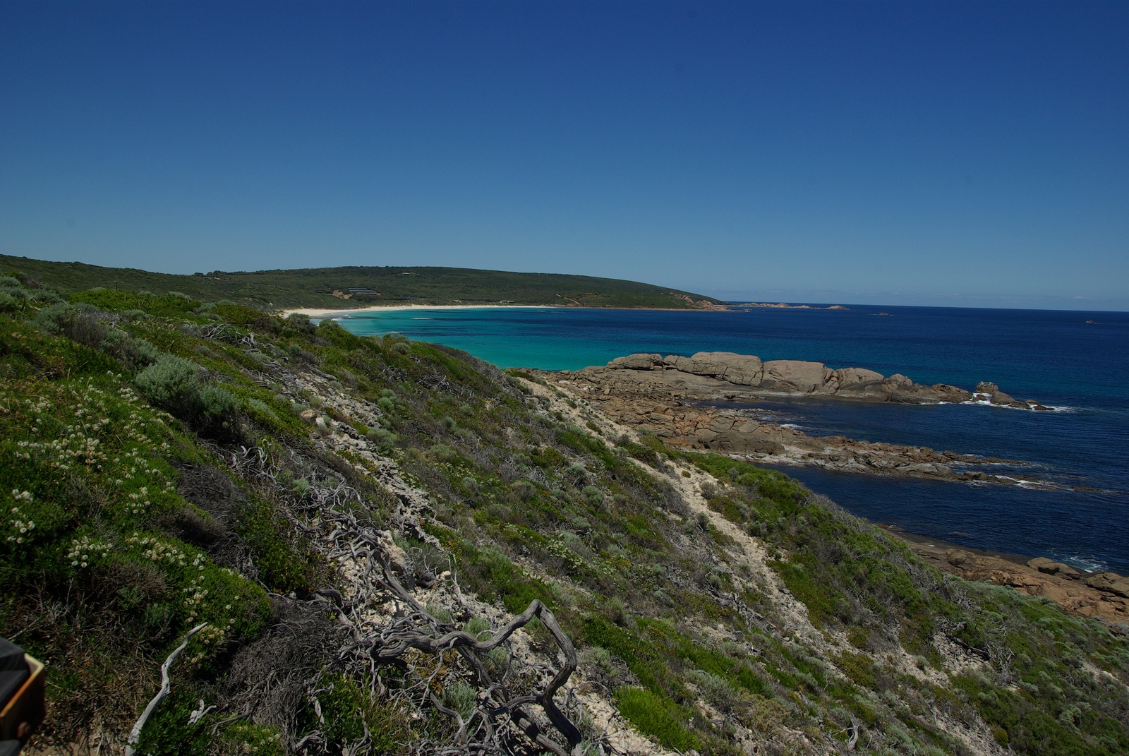
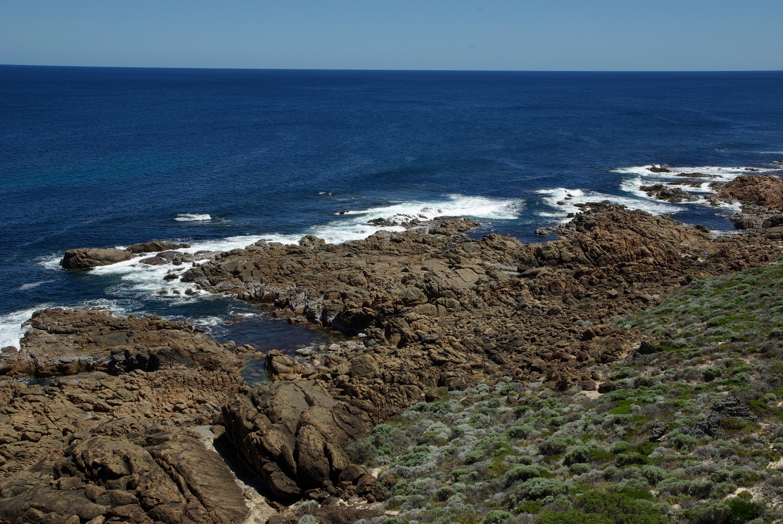
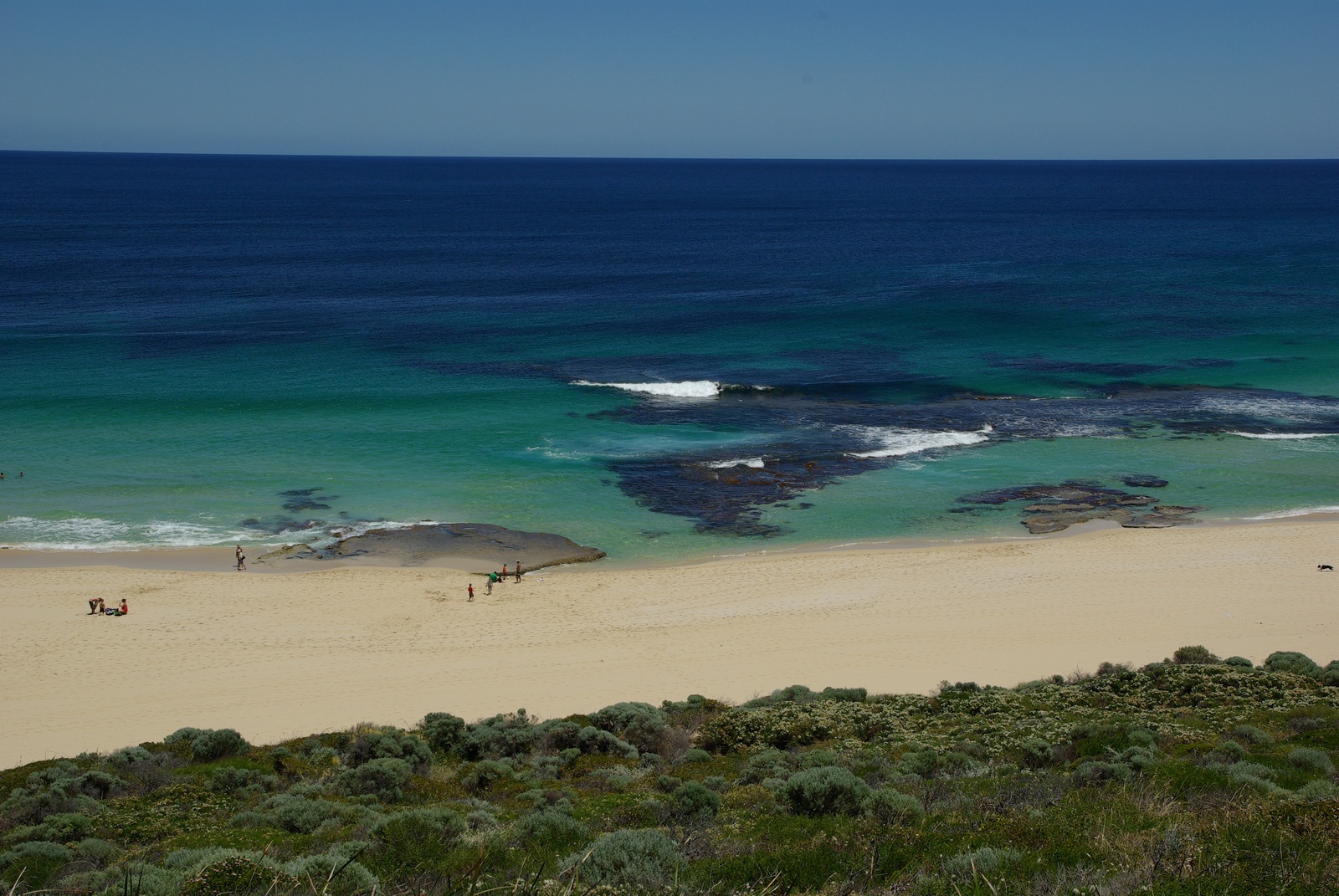
Map of the route “Tag 47 – 25.12.2011: Dunsborough – Yallingup – Gracetown – Margaret River”: 130,92 km, 3.420 m of climbing and 3.285 m of descent, elevation between -27 m and 140 m, time 12:45:52. It starts at -33.63140, 115.12220 and ends at -33.80992, 115.12200 (latitude, longitude).