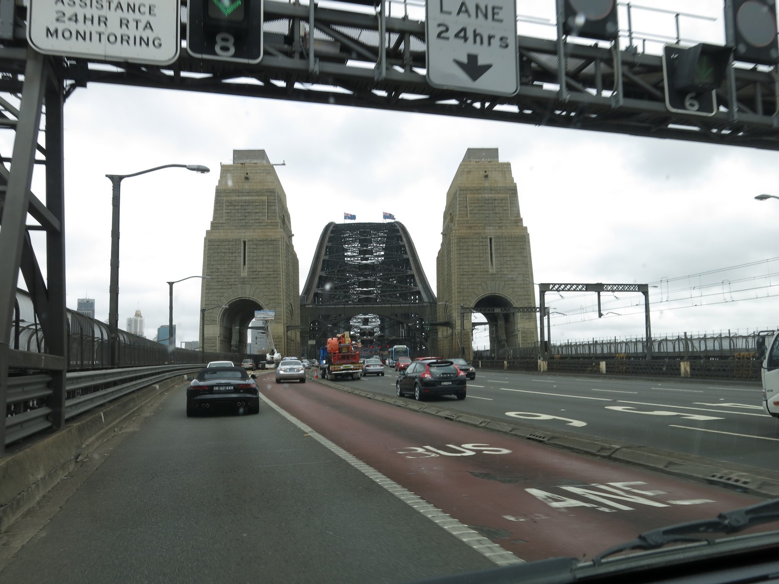
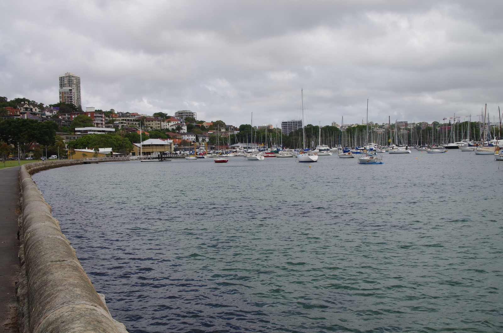
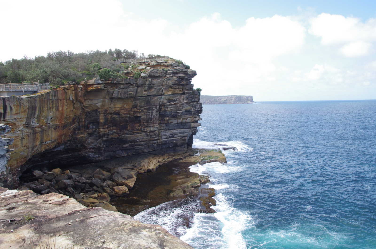
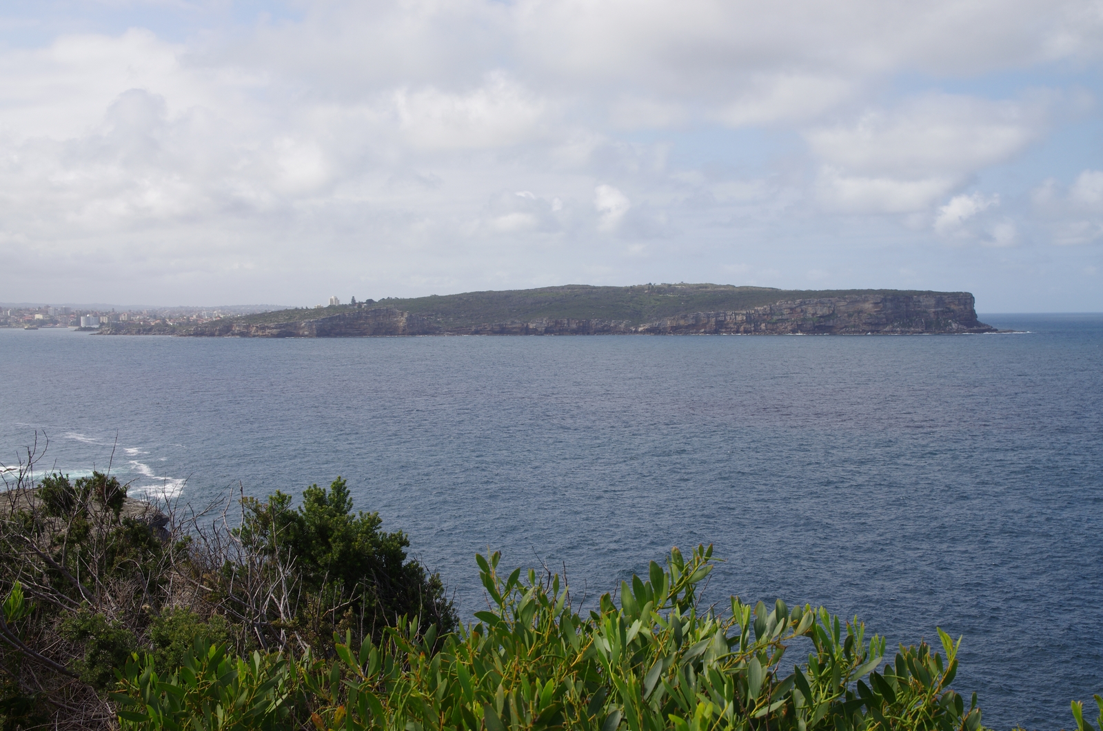
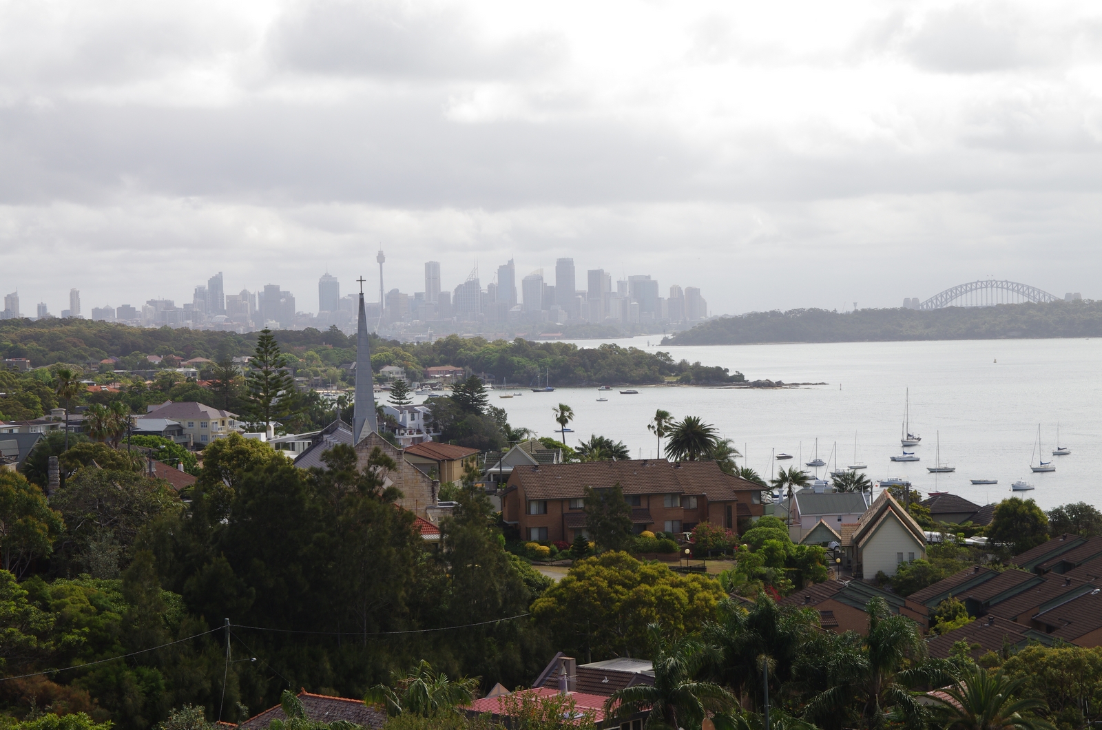
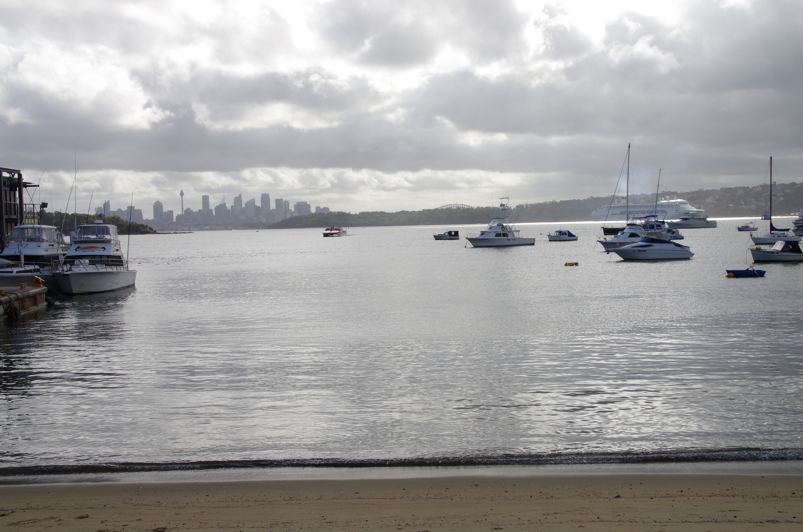
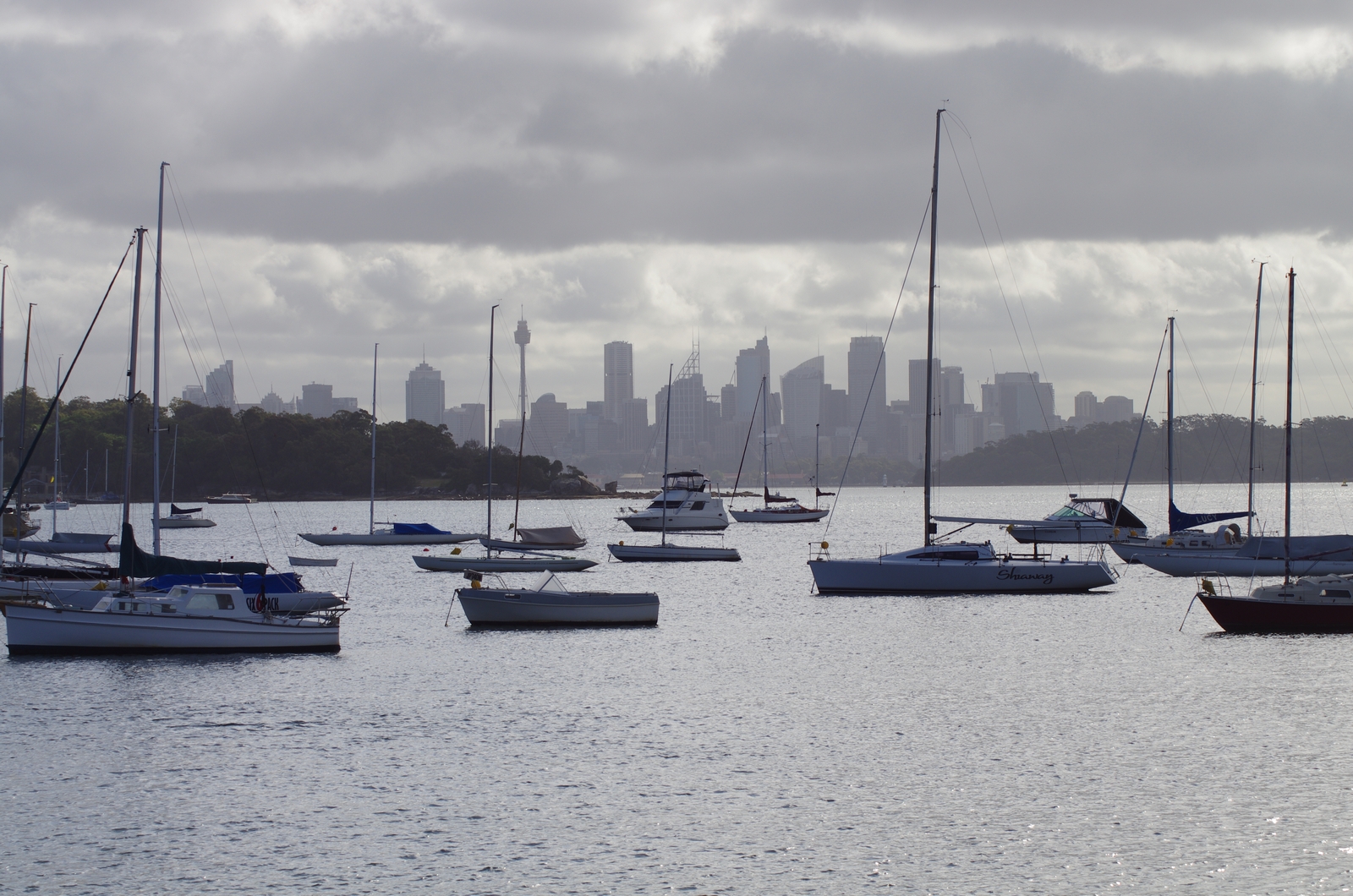
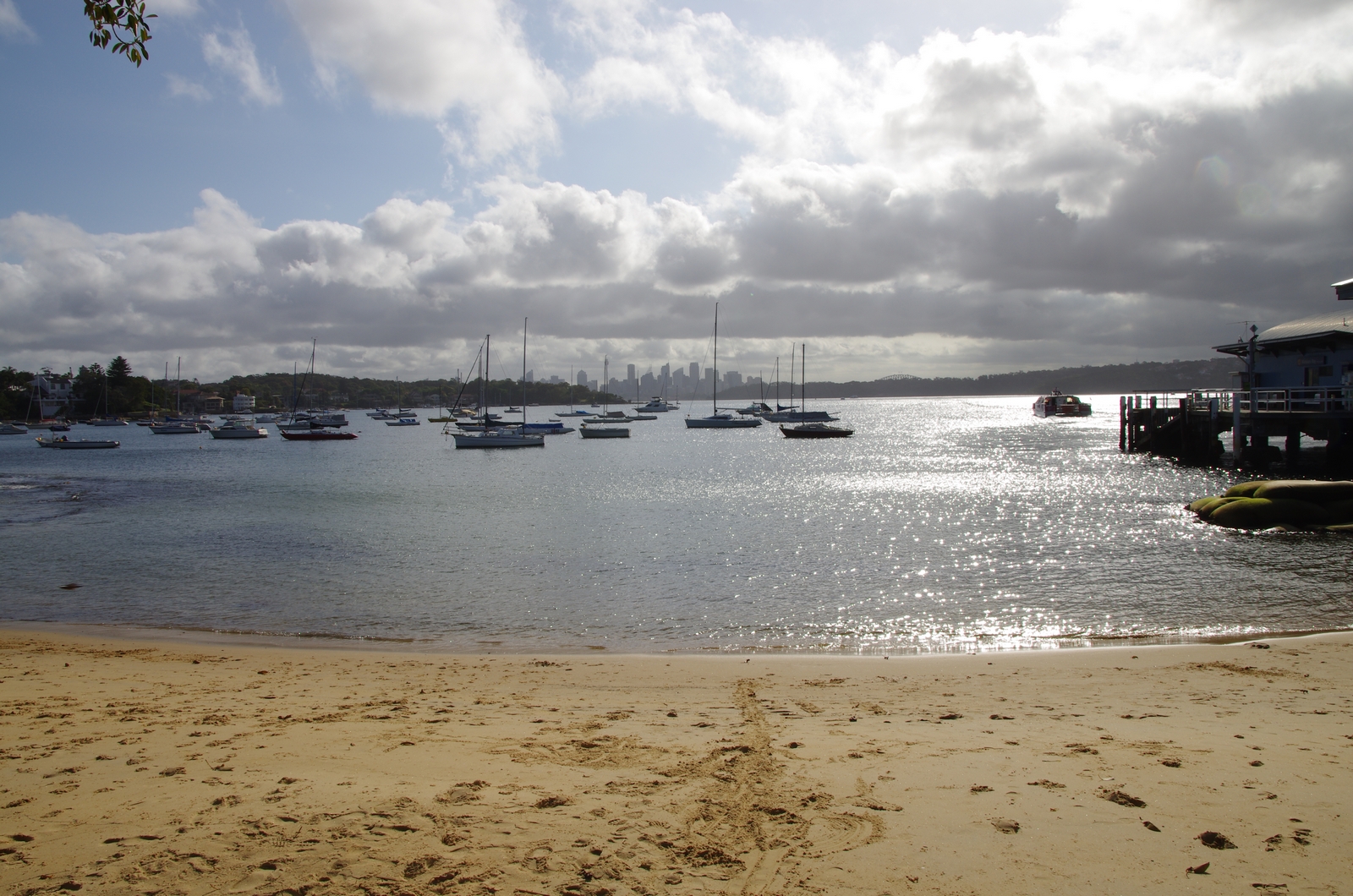
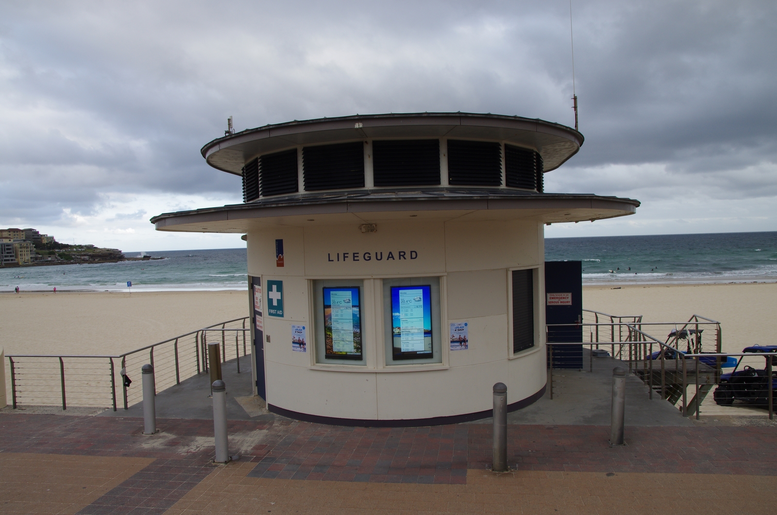
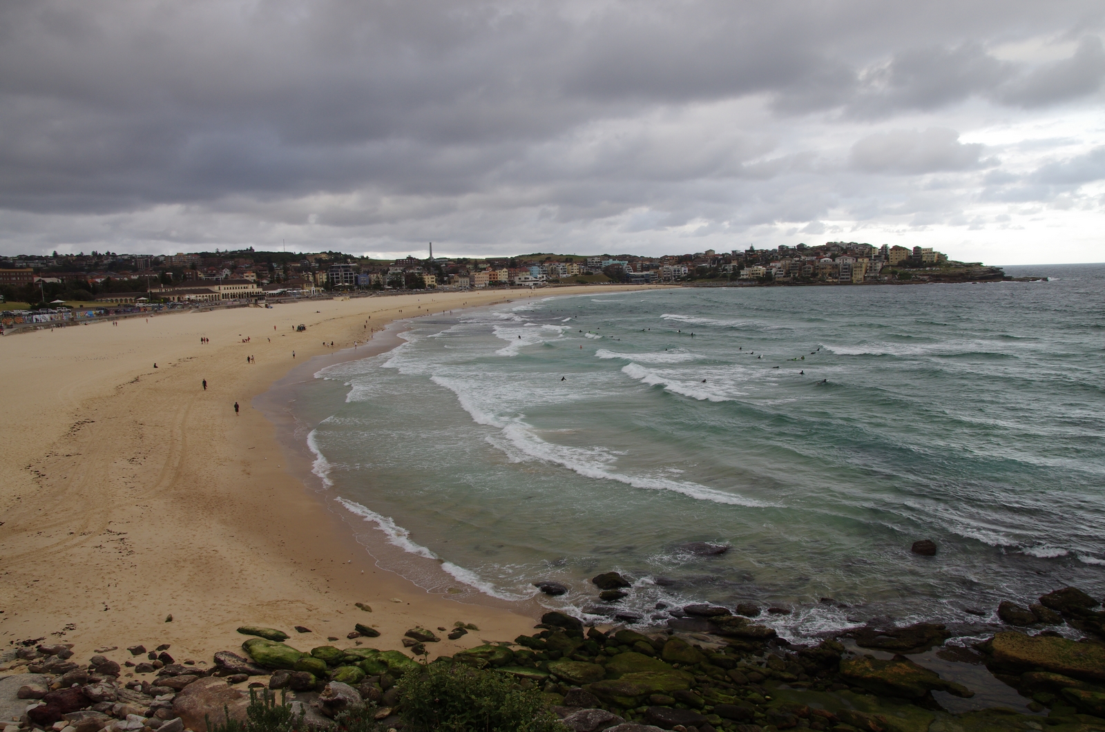
Map of the route “Tag 18 – 10.11.2014: Sydney (Southern Beaches) – Miranda”: 91,58 km, 1.871 m of climbing and 1.893 m of descent, elevation between 2 m and 112 m, time 12:02:57. It starts at -33.77806, 151.28034 and ends at -34.02686, 151.10523 (latitude, longitude).