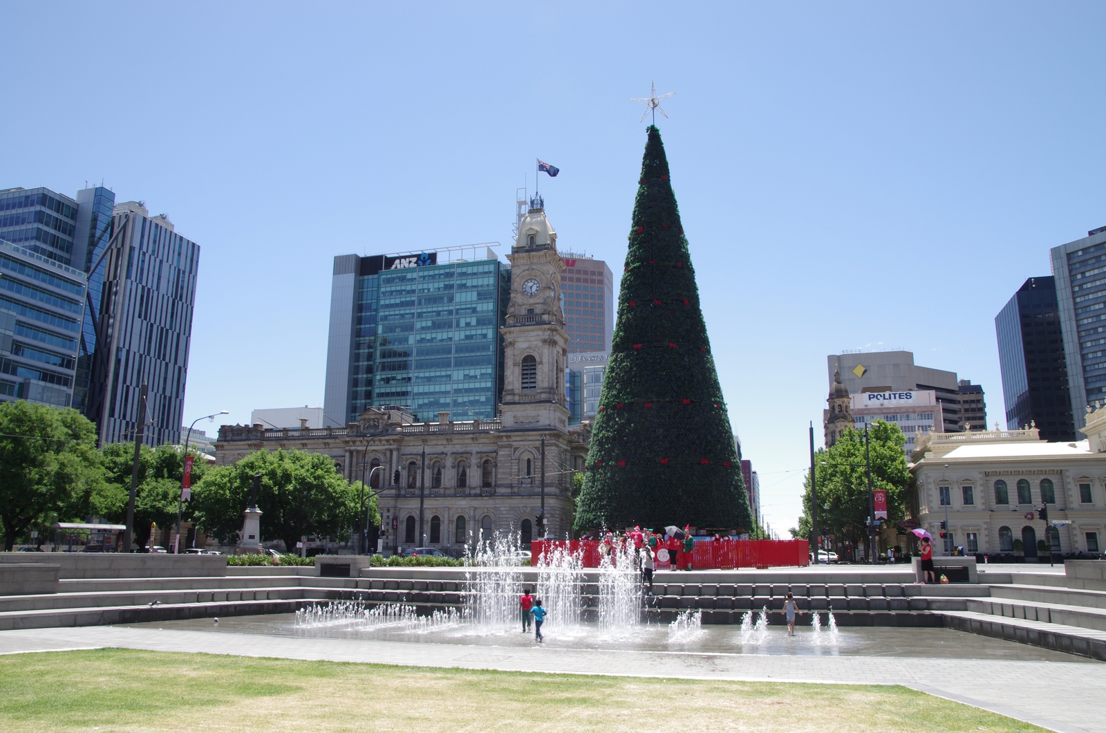
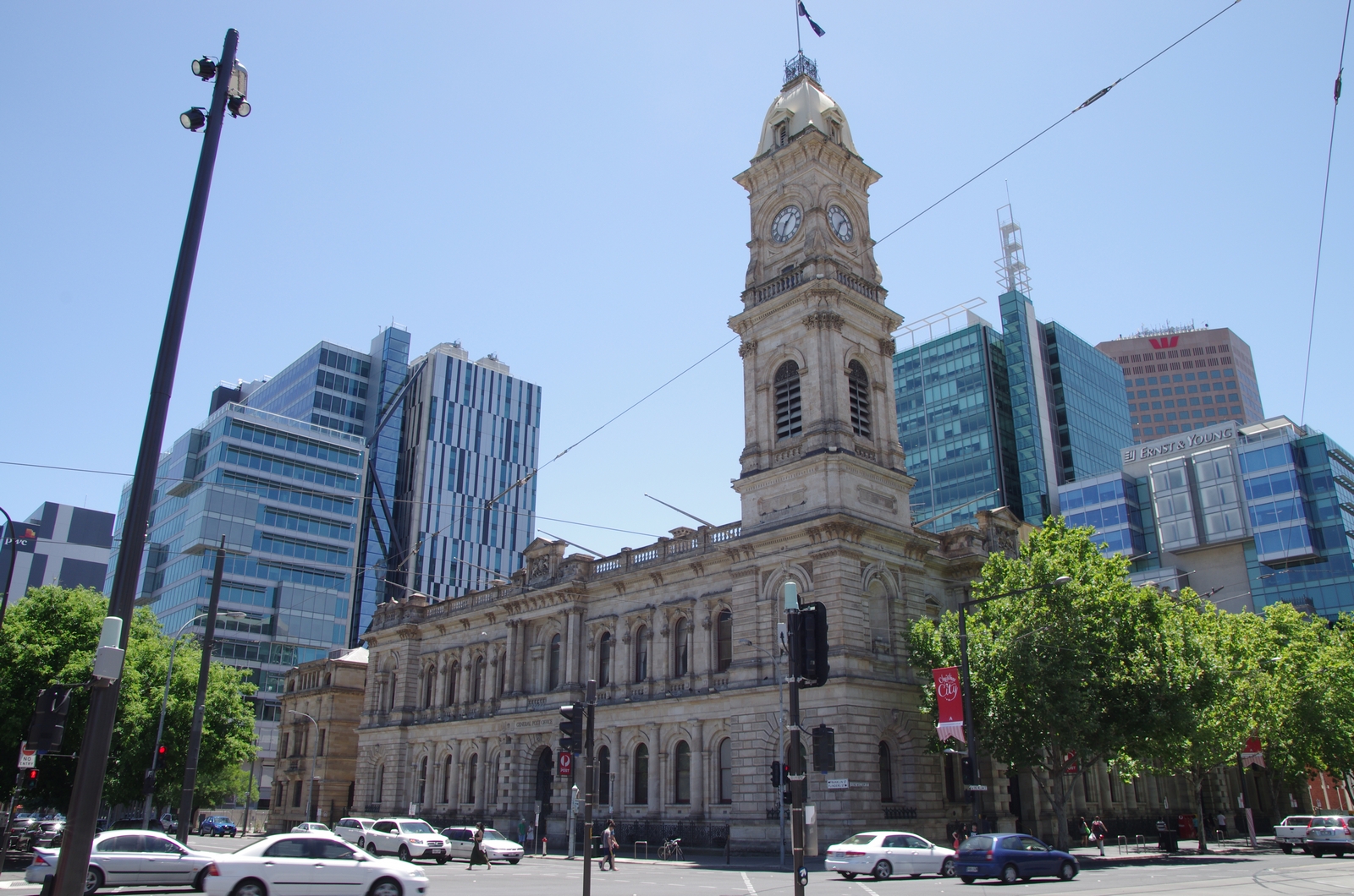
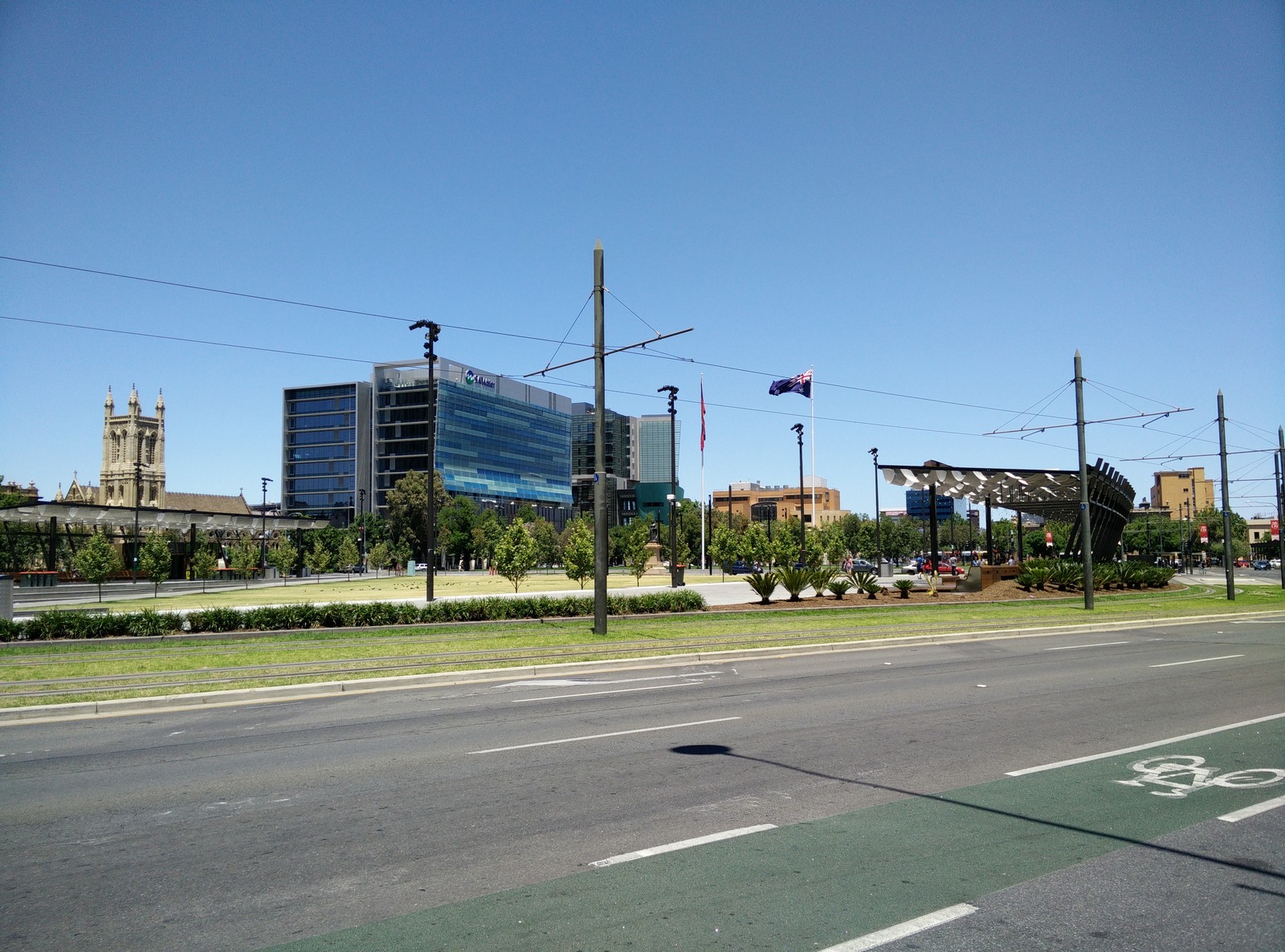
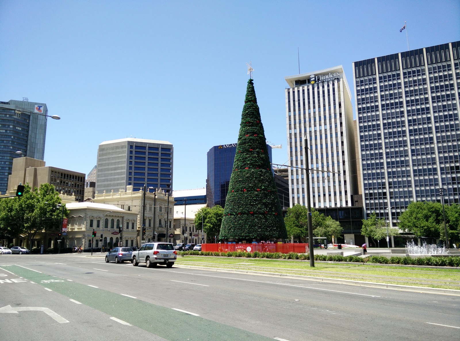
Map of the route “Tag 38 – 30.11.2014: Victor Harbor – Adelaide”: 109,72 km, 1.678 m of climbing and 1.726 m of descent, elevation between 4 m and 361 m, time 10:40:30. It starts at -35.55995, 138.61270 and ends at -34.88907, 138.62687 (latitude, longitude).