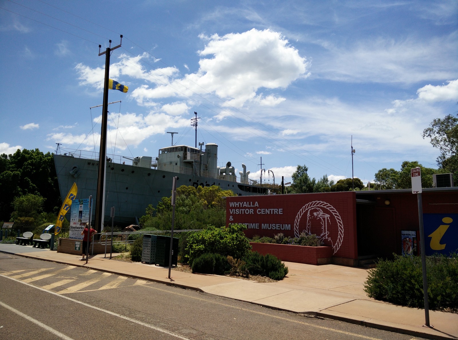
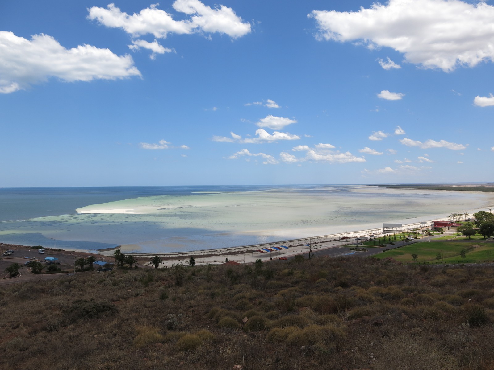
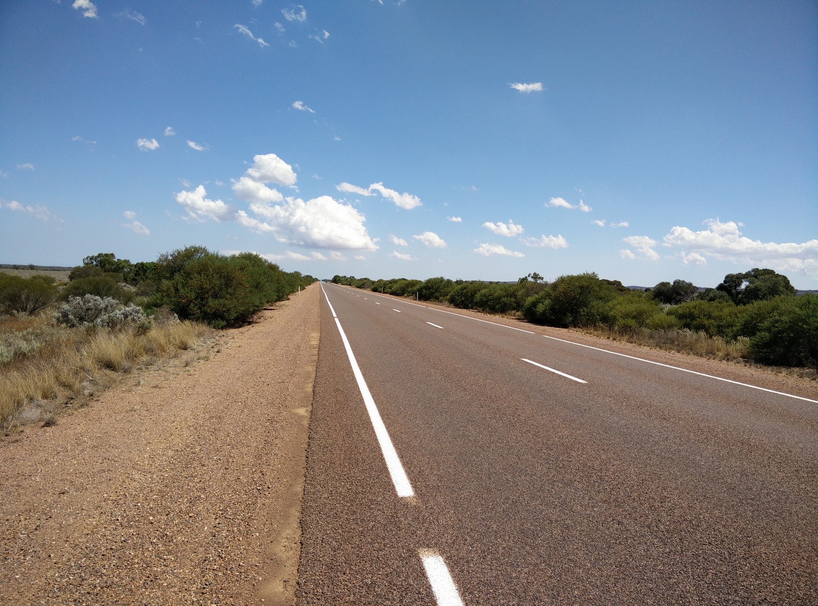
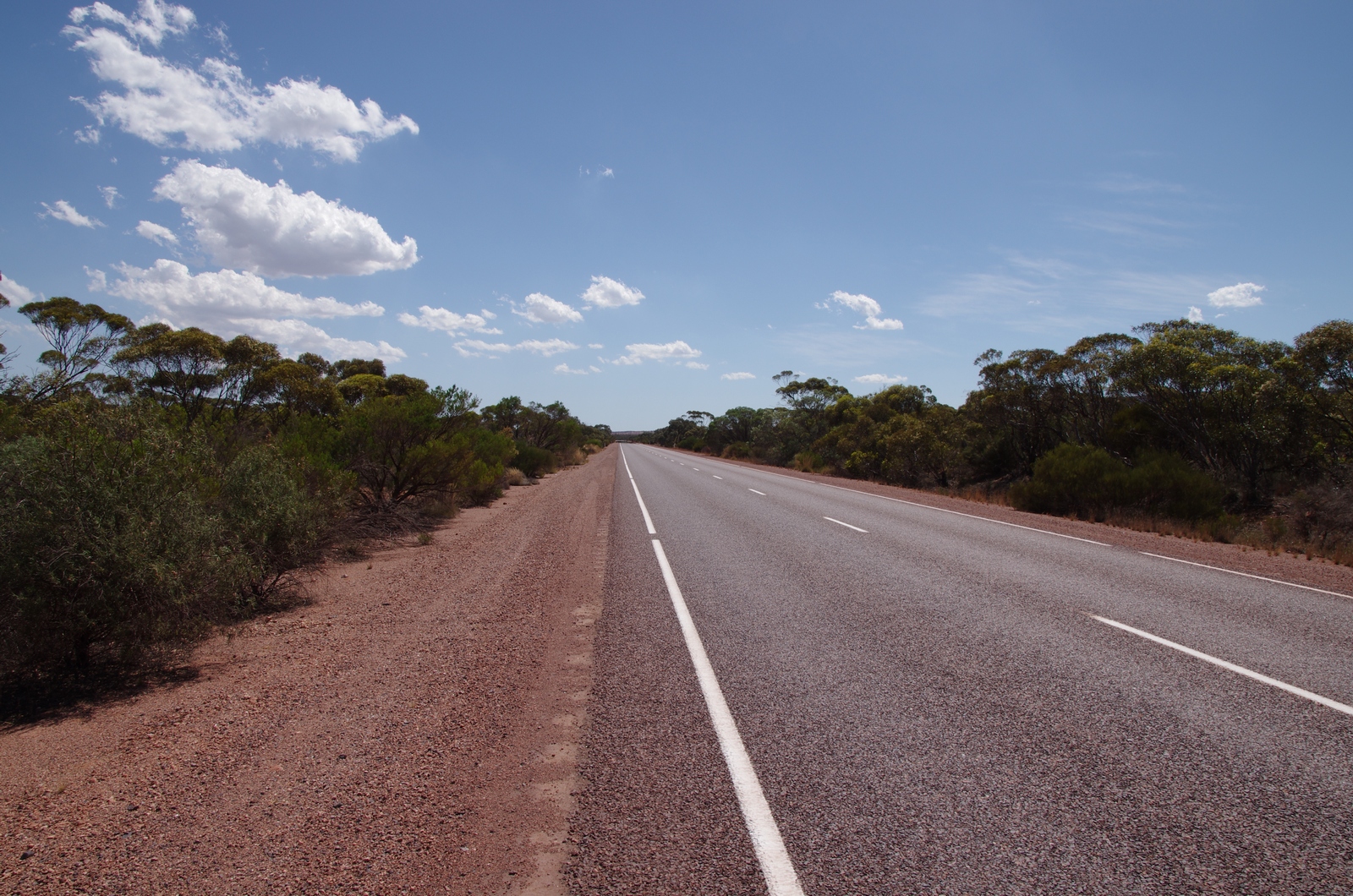
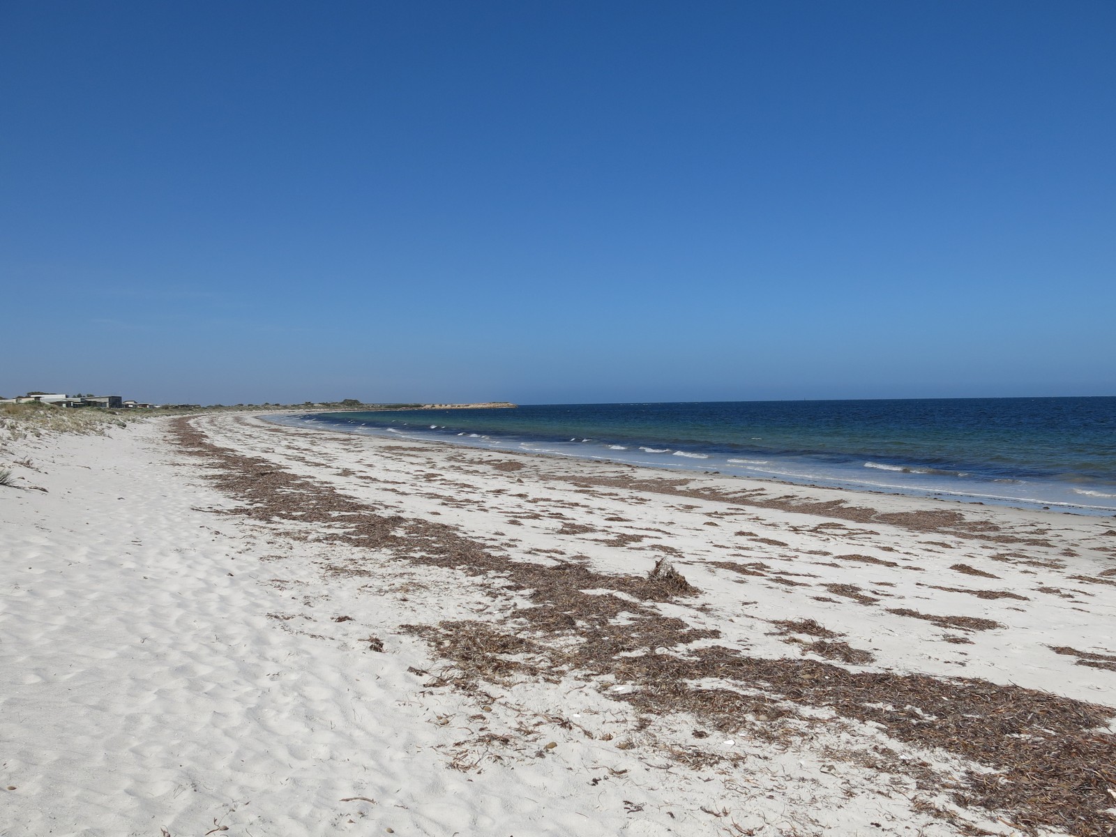
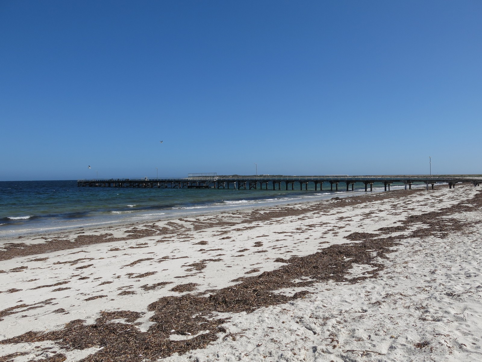
Map of the route “Tag 41 – 03.12.2014: Port Augusta – Wyalla – Port Lincoln”: 368,67 km, 2.174 m of climbing and 2.206 m of descent, elevation between -6 m and 210 m, time 19:17:09. It starts at -32.47385, 137.76277 and ends at -34.72834, 135.88479 (latitude, longitude).