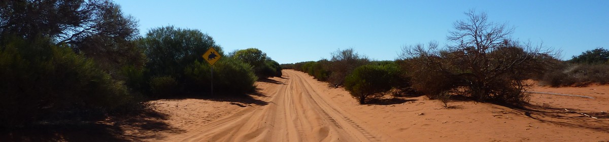
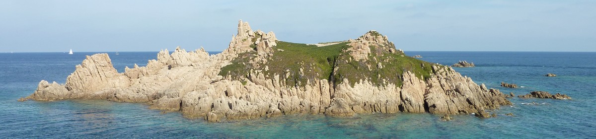

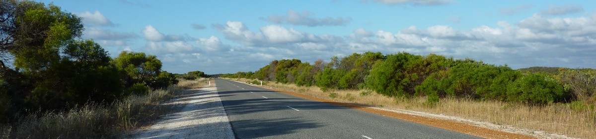
Map of the route “Day 19 – 05/05/2009: Geraldton – Jurien Bay – Cervantes – Pinnacles – Lancelin – Yanchep NP – Perth”: 578.78 km, 4,269 m of climbing and 4,383 m of descent, elevation between -72 m and 236 m, time 13:57:21. It starts at -28.72421, 114.61825 and ends at -31.81380, 115.82275 (latitude, longitude).
Total distance: 578.9 km
Max elevation: 236 m
Min elevation: -72 m
Total climbing: 4269 m
Total descent: 4383 m
Total time: 13:57:21
Max elevation: 236 m
Min elevation: -72 m
Total climbing: 4269 m
Total descent: 4383 m
Total time: 13:57:21
Some of the content is hidden. Please log in if you already have an account. Otherwise, if you know Giovanna or Martin, please ask for a new account.


