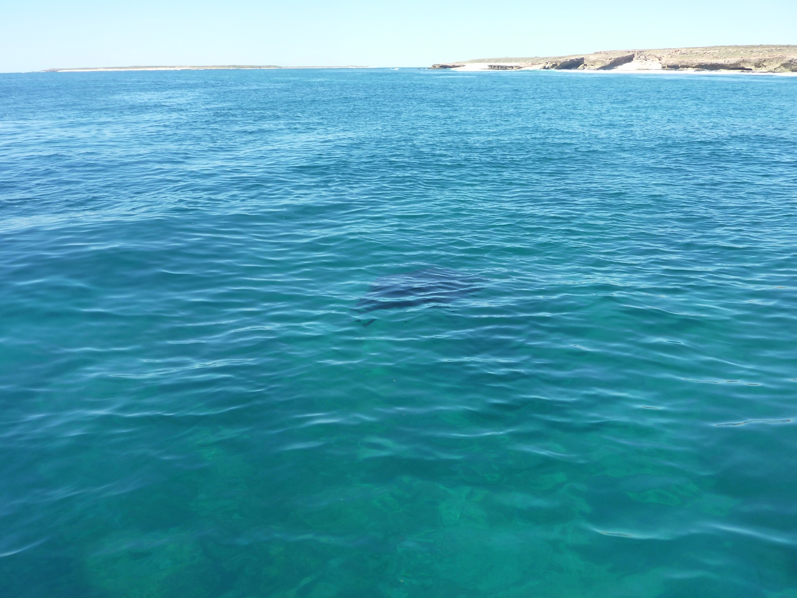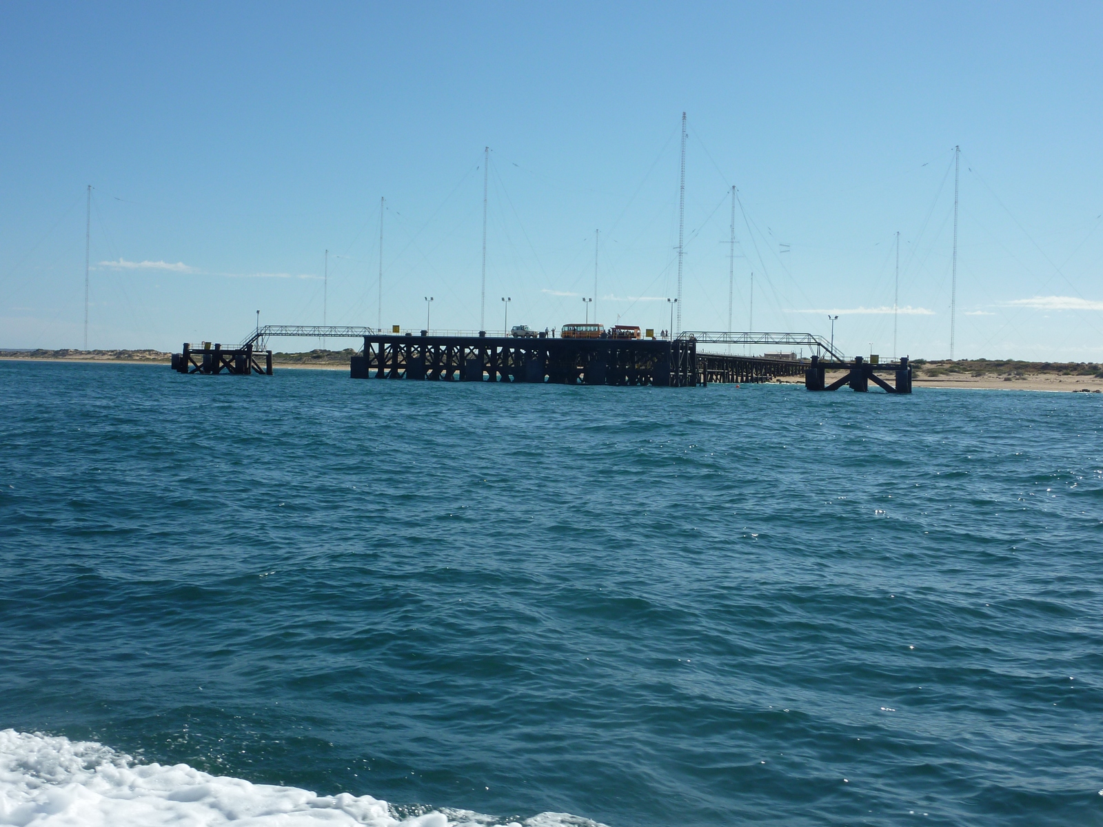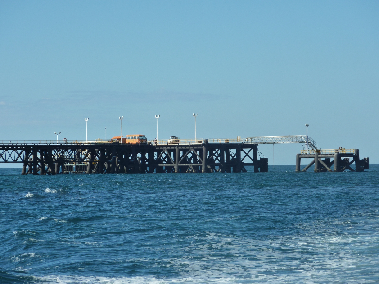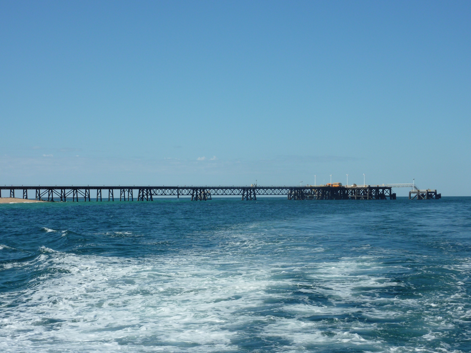


Map of the route “Day 8 – 04/24/2009: Exmouth – Muiron Islands – Exmouth”: 130.22 km, 1,457 m of climbing and 1,500 m of descent, elevation between -20 m and 44 m, time 14:32:40. It starts at -21.80783, 114.12599 and ends at -21.80822, 114.11346 (latitude, longitude).
Total distance: 130.86 km
Max elevation: 44 m
Min elevation: -23 m
Total climbing: 1457 m
Total descent: 1500 m
Total time: 14:32:40
Max elevation: 44 m
Min elevation: -23 m
Total climbing: 1457 m
Total descent: 1500 m
Total time: 14:32:40