
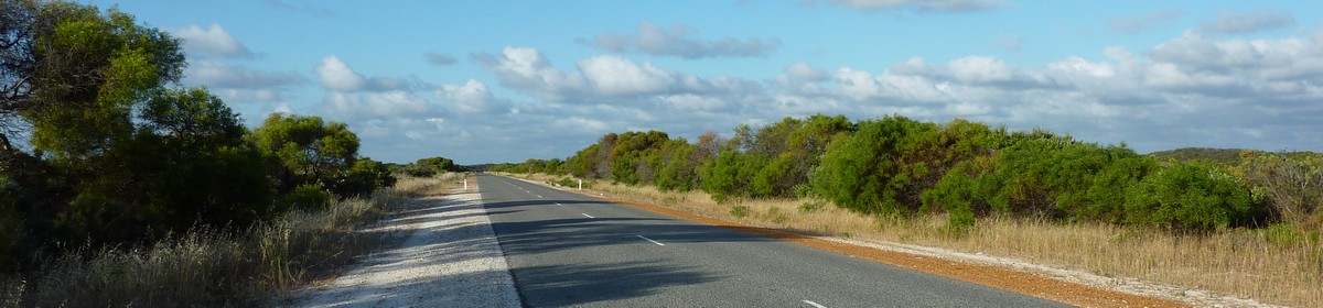
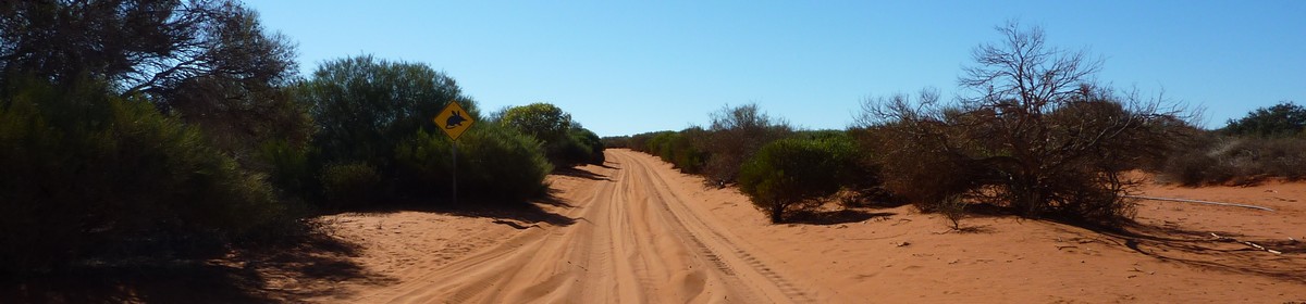
Map of the route “Day 30 – 12/08/2011: Merredin – Southern Cross – Coolgardie – Kalgoorlie”: 369.32 km, 2,818 m of climbing and 2,812 m of descent, elevation between 322 m and 492 m, time 13:13:58. It starts at -31.48493, 118.29216 and ends at -30.76477, 121.45394 (latitude, longitude).
Total distance: 369.71 km
Max elevation: 492 m
Min elevation: 322 m
Total climbing: 2818 m
Total descent: 2812 m
Total time: 13:44:05
Max elevation: 492 m
Min elevation: 322 m
Total climbing: 2818 m
Total descent: 2812 m
Total time: 13:44:05
Some of the content is hidden. Please log in if you already have an account. Otherwise, if you know Giovanna or Martin, please ask for a new account.


