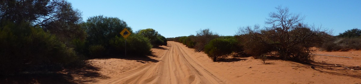
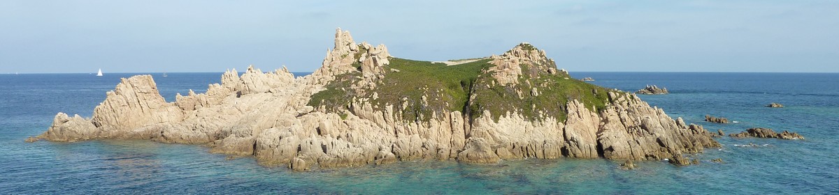
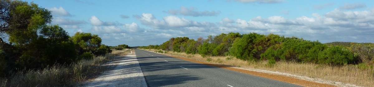
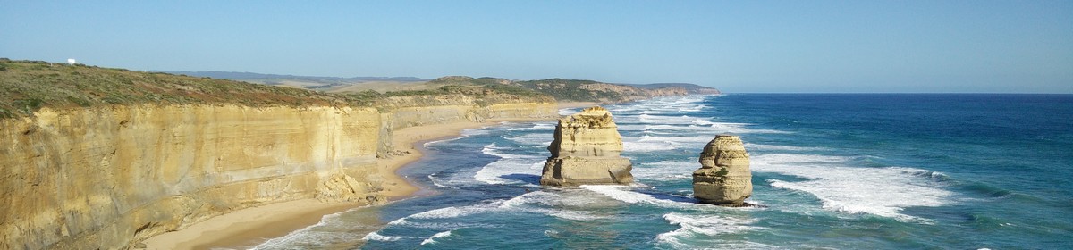

Map of the route “Day 8 – 11/16/2011: Yanchep – Lancelin – Pinnacles – Cervantes”: 199.84 km, 4,483 m of climbing and 4,516 m of descent, elevation between -26 m and 155 m, time 10:29:14. It starts at -31.53707, 115.62179 and ends at -30.49785, 115.06749 (latitude, longitude).
Total distance: 200.11 km
Max elevation: 155 m
Min elevation: -26 m
Total climbing: 4483 m
Total descent: 4516 m
Total time: 10:29:14
Max elevation: 155 m
Min elevation: -26 m
Total climbing: 4483 m
Total descent: 4516 m
Total time: 10:29:14
Some of the content is hidden. Please log in if you already have an account. Otherwise, if you know Giovanna or Martin, please ask for a new account.


