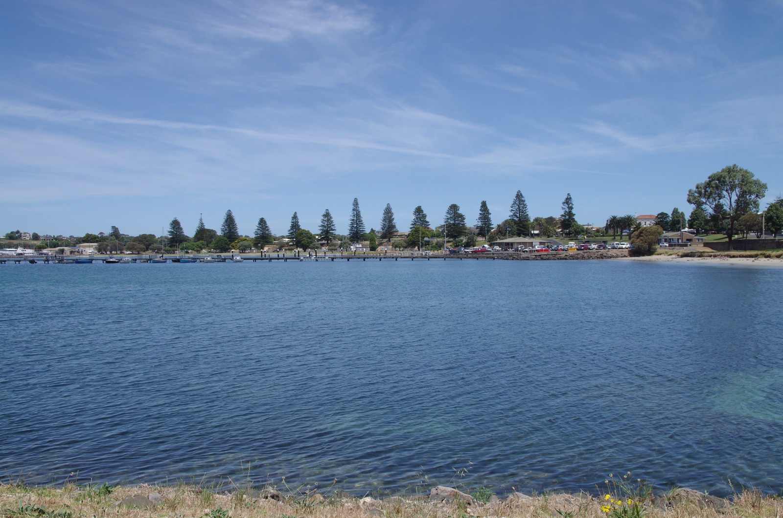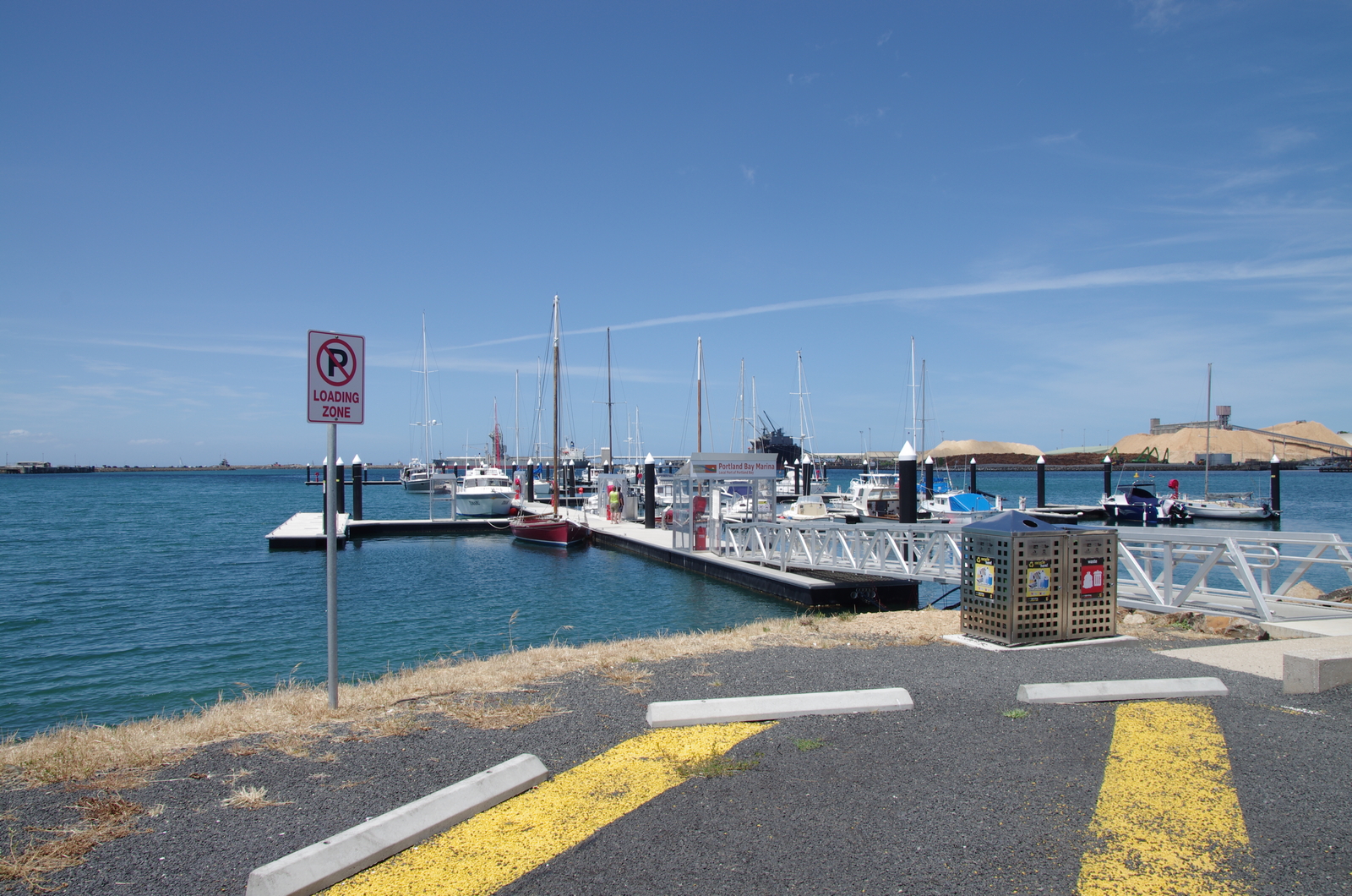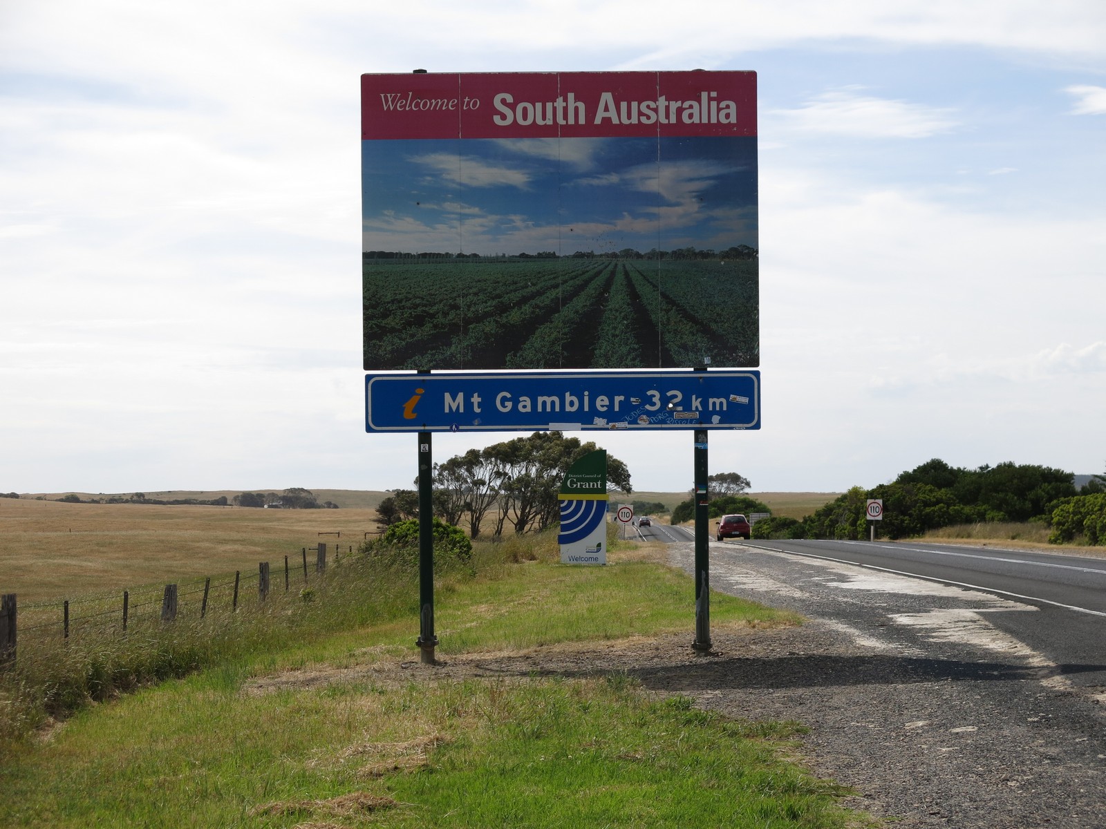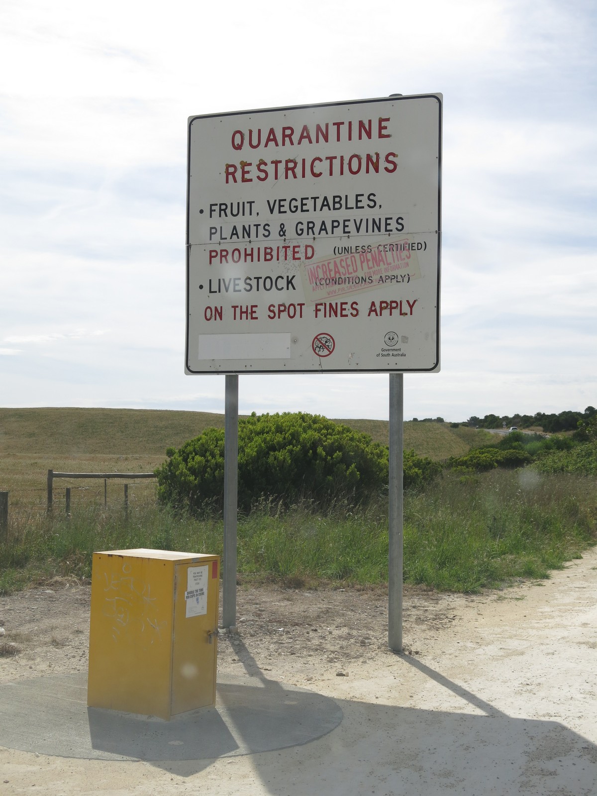

Map of the route “Day 31 – 11/23/2014: Portland – Mount Gambier – Robe”: 262.48 km, 948 m of climbing and 947 m of descent, elevation between 8 m and 146 m, time 10:23:07. It starts at -38.34914, 141.60227 and ends at -37.16474, 139.78396 (latitude, longitude).
Total distance: 262.52 km
Max elevation: 146 m
Min elevation: 8 m
Total climbing: 948 m
Total descent: 947 m
Total time: 10:22:43
Max elevation: 146 m
Min elevation: 8 m
Total climbing: 948 m
Total descent: 947 m
Total time: 10:22:43