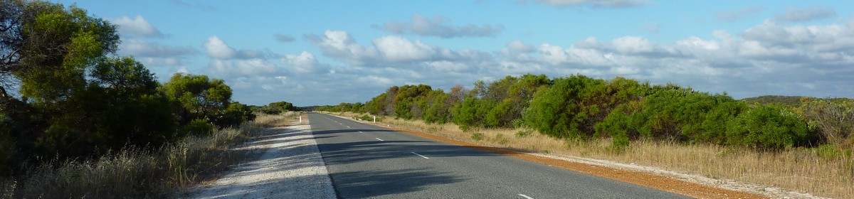
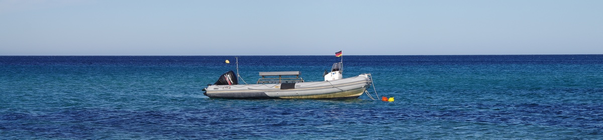
The trip to the Port Geographe Marina and the boat trip to the HMAS Swan (and everything back to Busselton) has unfortunately not been recorded…
Map of the route “Day 59 – 12/21/2014: Busselton – HMAS Swan – Busselton”: 9.94 km, 434 m of climbing and 409 m of descent, elevation between -22 m and 13 m, time 01:43:23. It is a loop that starts and ends at -33.64511, 115.35368 (latitude, longitude).
Total distance: 9.93 km
Max elevation: 20 m
Min elevation: -22 m
Total climbing: 434 m
Total descent: 409 m
Total time: 01:43:06
Max elevation: 20 m
Min elevation: -22 m
Total climbing: 434 m
Total descent: 409 m
Total time: 01:43:06
Some of the content is hidden. Please log in if you already have an account. Otherwise, if you know Giovanna or Martin, please ask for a new account.