Gesamtstrecke: 51.04 km
Maximale Höhe: 83 m
Minimale Höhe: -18 m
Gesamtanstieg: 1833 m
Gesamtabstieg: -1842 m
Gesamtzeit: 09:55:57
Maximale Höhe: 83 m
Minimale Höhe: -18 m
Gesamtanstieg: 1833 m
Gesamtabstieg: -1842 m
Gesamtzeit: 09:55:57
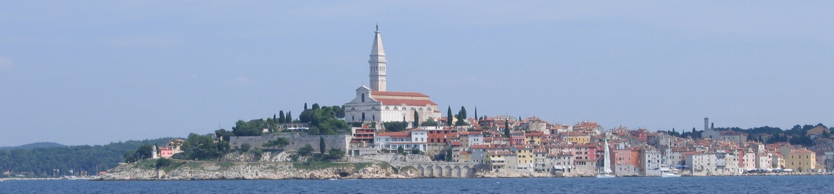
Es wir nicht der komplette Inhalt angezeigt. Bitte melde Dich an, so Du hier schon einen Account hast. Ansonsten, falls Du Giovanna oder Martin kennst, frage doch nach einem neuen Account.


