Gesamtstrecke: 143.17 km
Maximale Höhe: 64 m
Minimale Höhe: -79 m
Gesamtanstieg: 2591 m
Gesamtabstieg: -2640 m
Gesamtzeit: 16:26:26
Maximale Höhe: 64 m
Minimale Höhe: -79 m
Gesamtanstieg: 2591 m
Gesamtabstieg: -2640 m
Gesamtzeit: 16:26:26


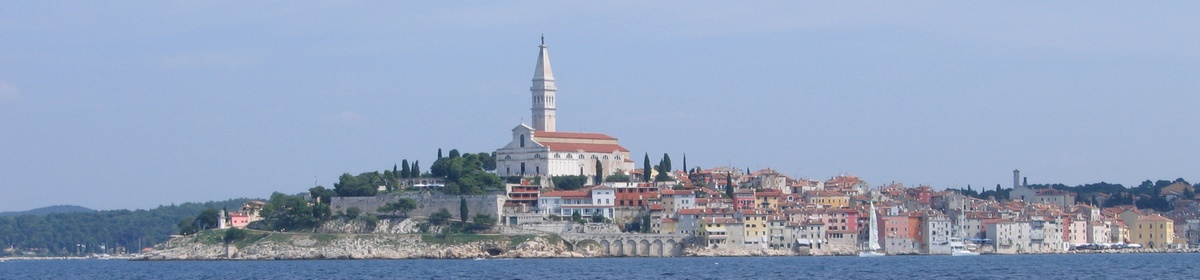
Netzwelt, Reisen, Tauchen, amerikanische Nummernschilder und mehr
