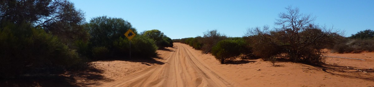
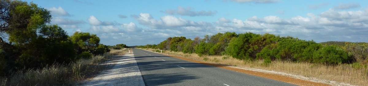

Map of the route “Tag 21 – 07.05.2009: Bunbury – Busselton – Margaret River – Hamelin Bay”: 181,82 km, 1.915 m of climbing and 1.880 m of descent, elevation between -28 m and 139 m, time 10:40:38. It starts at -33.32143, 115.64683 and ends at -34.22140, 115.03096 (latitude, longitude).
Gesamtstrecke: 182.38 km
Maximale Höhe: 139 m
Minimale Höhe: -30 m
Gesamtanstieg: 1915 m
Gesamtabstieg: 1880 m
Gesamtzeit: 10:40:38
Maximale Höhe: 139 m
Minimale Höhe: -30 m
Gesamtanstieg: 1915 m
Gesamtabstieg: 1880 m
Gesamtzeit: 10:40:38
Es wir nicht der komplette Inhalt angezeigt. Bitte melde Dich an, so Du hier schon einen Account hast. Ansonsten, falls Du Giovanna oder Martin kennst, frage doch nach einem neuen Account.


